Grange Fell
Fri 3 Oct 2003
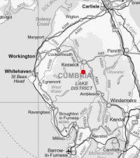
Route: Quayfoot quarry car park - Grange Fell (King's How) - Grange Fell (Brund Fell) - Watendlath - Watendlath Tarn - Puddingstone Bank - Bowder Stone - Quayfoot quarry car park
Distance: 4.50 miles
Ascent: 1,550ft
Time: 3 hours
With: On Own
Notes:
Sunshine
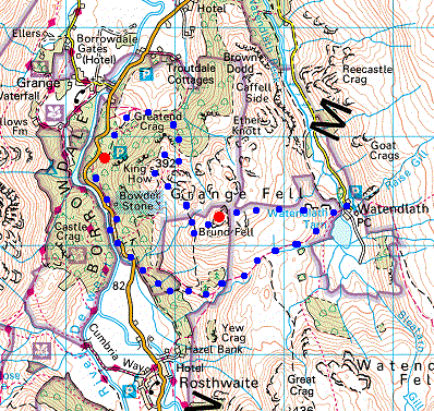
© Crown copyright. All rights reserved. Licence number AL100038401
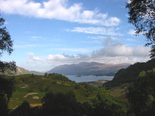
Derwent Water and Skiddaw from the ascent through the wood
Derwent Water and Skiddaw from the open fell
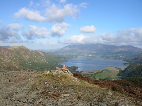
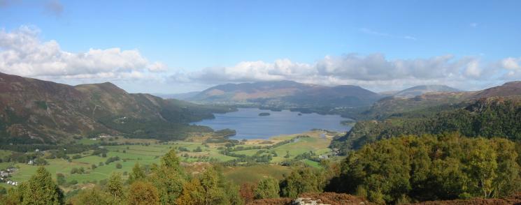
Derwent Water from King's How top

360 Panorama from Grange Fell (King's How top)
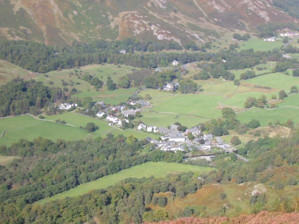
Looking down on Grange
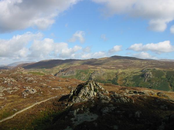
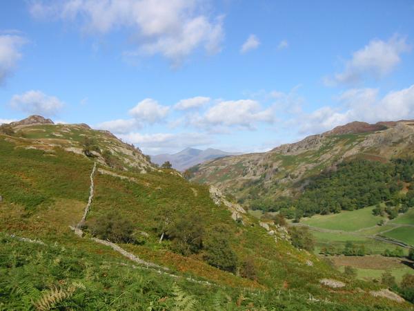
Looking across to Brund Fell with the Helvellyn Range in the distance
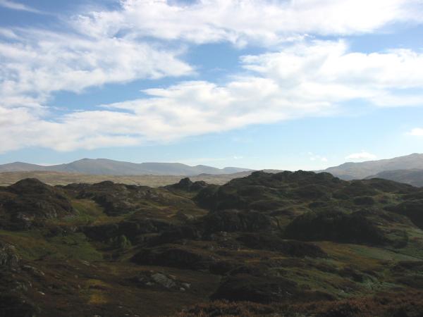
Long Moss
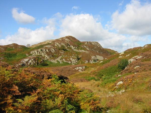
Looking back to King's How
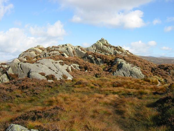
Brund Fell summit

360 Panorama from Grange Fell (Brund Fell top)
Jopplety How with Bleaberry Fell and High Seat behind
High Tove with the Helvellyn Range behind
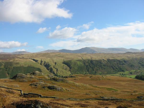
Skiddaw seen from the descent to Watendlath
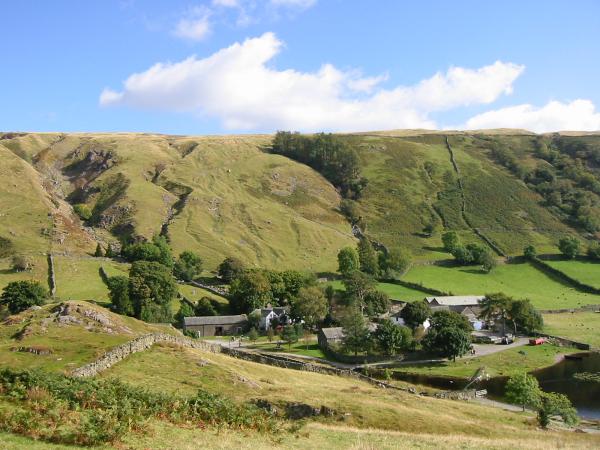
Watendlath
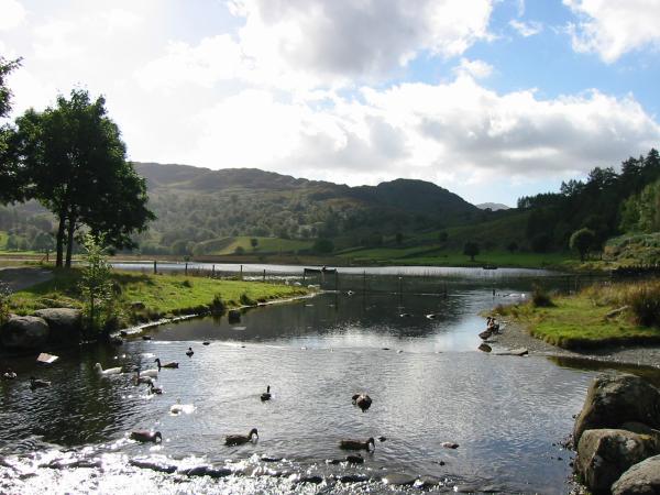
Watendlath Tarn outflow
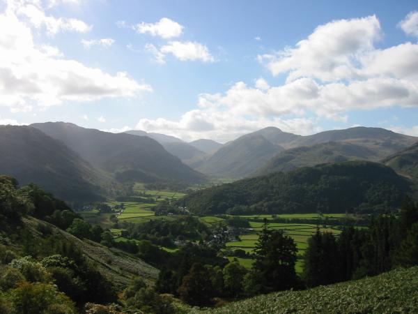
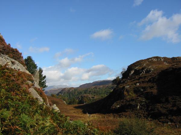
Upper Borrowdale
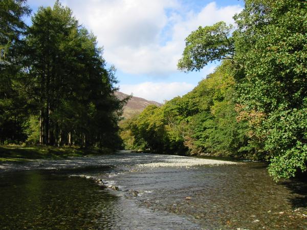
River Derwent
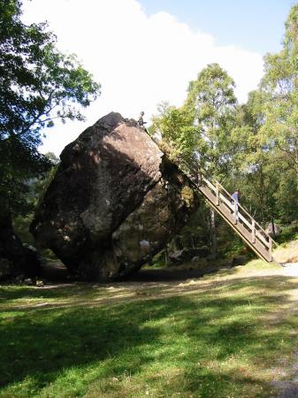
The Bowder Stone
The Bowder Stone
Previous Walk: Seathwaite Tarn Round (Wed 1 Oct 2003)
Next Walk: The Backbone of the Eastern Fells (Sat 4 Oct 2003)