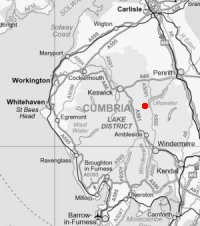
Birkhouse Moor
Sun 3 Feb 2002
Route: Glenridding village - Mires Beck path - Birkhouse Moor - Red Tarn - Red Tarn Beck path - Greenside Road - Glenridding village
Distance: 6.00 miles
Ascent: 1,900ft
Time: 2 hours 50 minutes
With: Anne
Notes:
Mild, a couple of short light rain showers, blowing a gale with gusts trying to knock us off our feet.
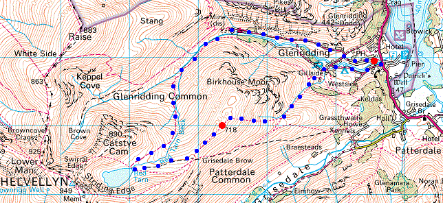
© Crown copyright. All rights reserved. Licence number AL100038401
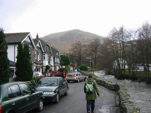
Leaving Glenridding village for Birkhouse Moor
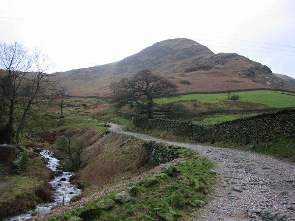
Birkhouse Moor from Gillside
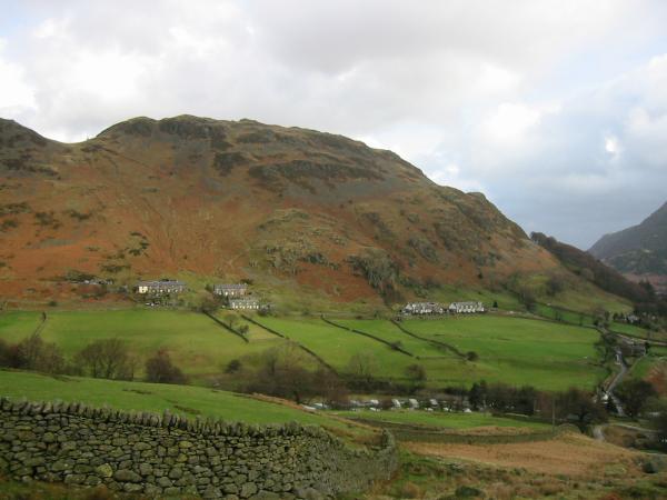
Glenridding Dodd from the path up Birkhouse Moor
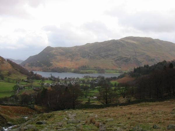
Glenridding village, Ullswater and Place Fell from the path up Birkhouse Moor
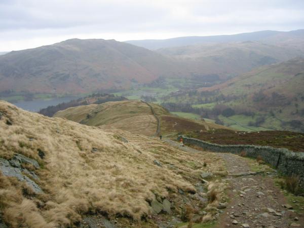
Looking back down Birkhouse Moor's east ridge
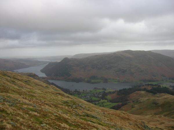
Glenridding village, Ullswater and Place Fell from near the top of Birkhouse Moor

360 Panorama from Birkhouse Moor's north east top
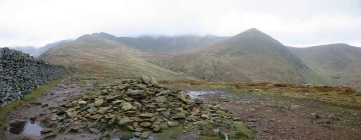
High Spying How, Helvellyn in cloud, Catstycam and White Side from Birkhouse Moor summit
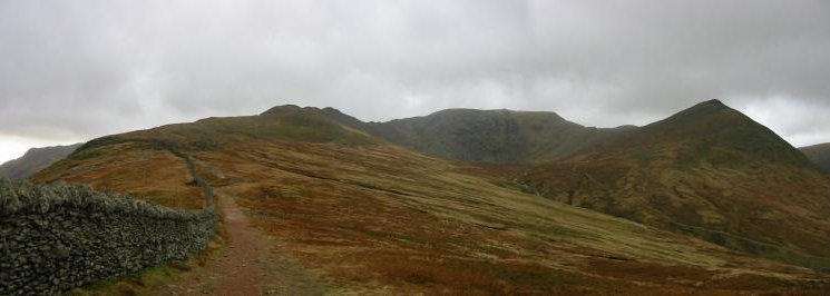
High Spying How, Helvellyn and Catstycam from the path to the 'Hole-in-the-Wall'

Red Tarn panorama: High Spying How, Striding Edge, Helvellyn, Swirral Edge and Catstycam
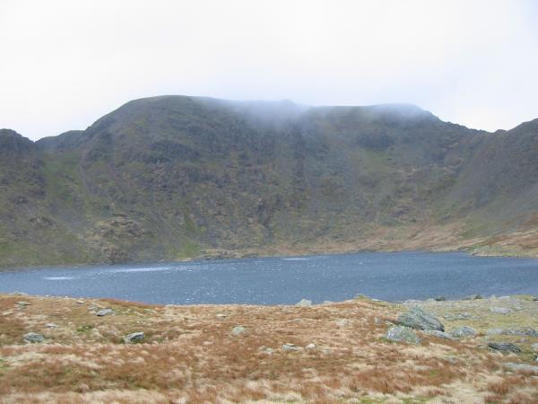
Helvellyn from Red Tarn
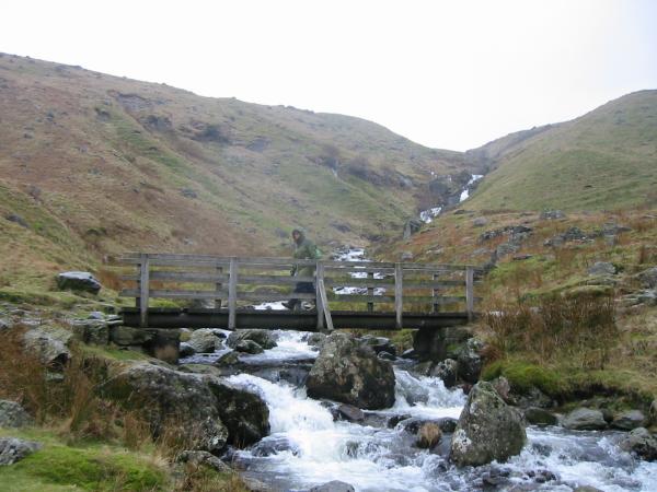
Crossing Red Tarn Beck
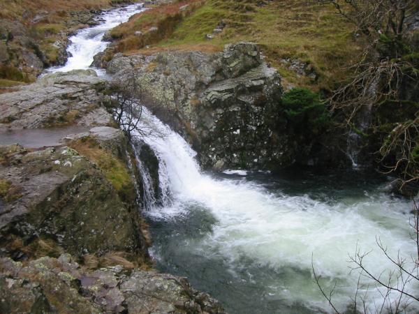
Glenridding Beck
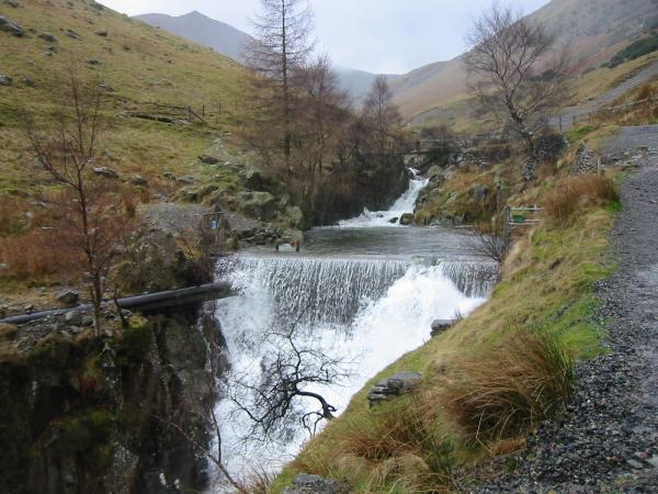
Weir at the Greenside Mines, Glenridding
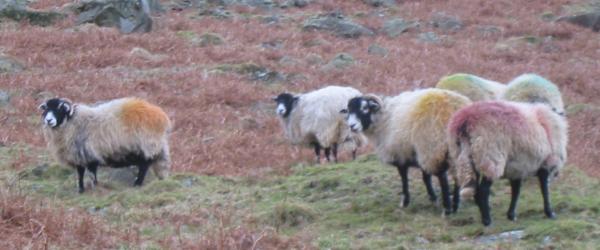
Multi-coloured Herdwick sheep, Glenridding
Previous Walk: Binsey (Sat 2 Feb 2002)
Next Walk: Rossett Pike (Sun 24 Feb 2002)
