Pasture Beck skyline
Sat 13 Oct 2001
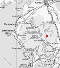
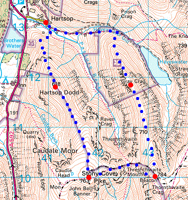
Route: Hartsop - Hartsop Dodd - Caudale Moor (Stony Cove Pike) - Threshthwaite Mouth - Thornthwaite Crag - Gray Crag - Hayeswater Gill - Hartsop
Distance: 6.83 miles
Ascent: 2,840ft
Time: 3 hours 45 minutes
With: Anne
Notes:
Cloud base approx. 1,500ft, above this we could not see more than 100m. Drizzle in the cloud at times, no wind.
© Crown copyright. All rights reserved. Licence number AL100038401
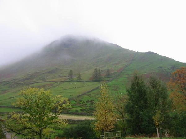
Hartsop Dodd from Hartsop
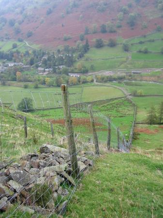
Looking back down the wall to Hartsop
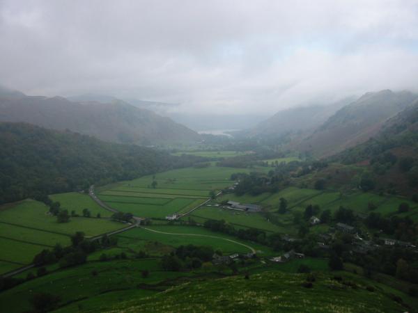
Patterdale, with Ullswater just visible in the distance from the north ridge of Hartsop Dodd
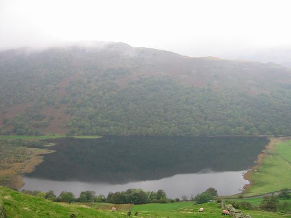
Brothers Water with the Hartsop Above How ridge behind from the north ridge of Hartsop Dodd
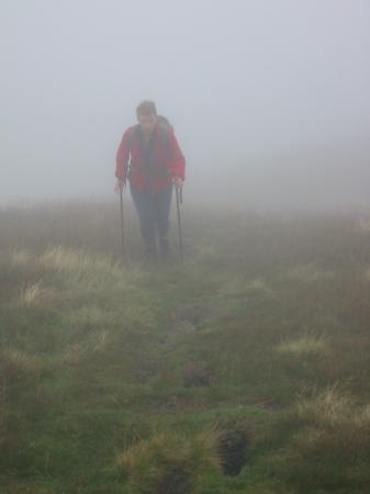
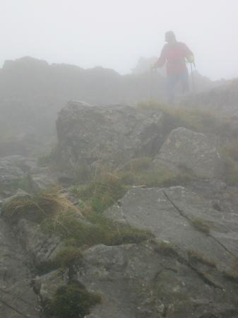
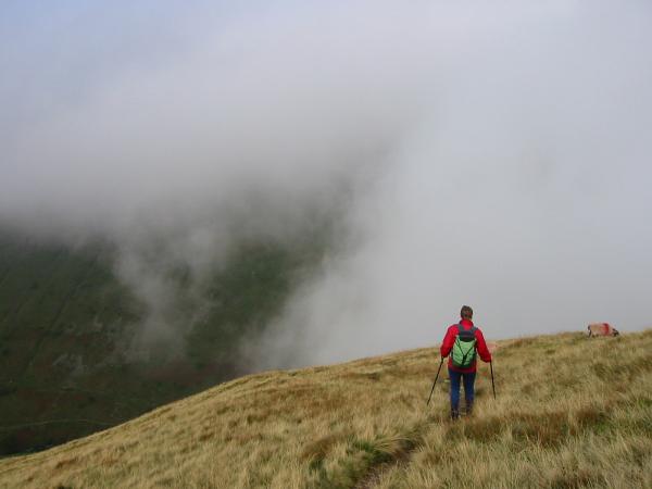
Climbing into the cloud
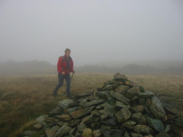
Hartsop Dodd summit cairn
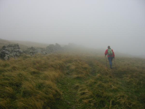
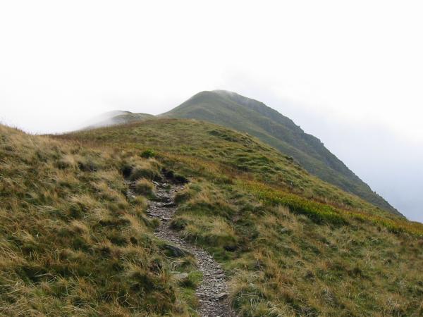
Just follow the wall to Caudale Moor from Hartsaop Dodd
Down to Threshthwaite Mouth from Caudale Moor
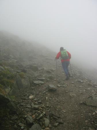
Ascending Thornthwaite Crag from Threshthwaite Mouth
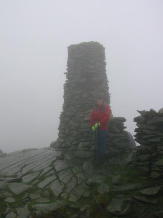
Thornthwaite Beacon
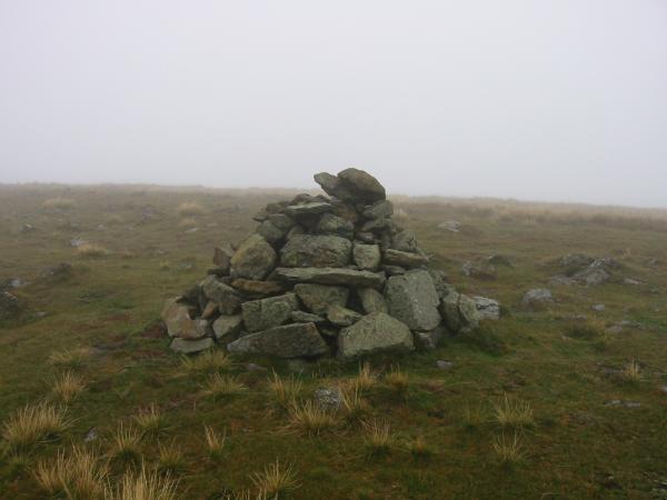
Gray Crag summit cairn and we are still in the cloud
Descending to Hartsop from Gray Crag, at last dropping out of the cloud
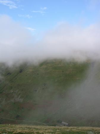
Looking back to Gray Crag, the cloud has started to lift a bit
Hayeswater Gill Filter House and the first sight of blue sky
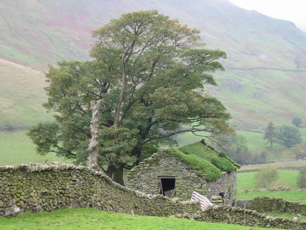
Ruined building, Hayeswater Gill
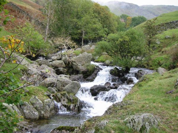
Hayeswater Gill
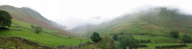
The Pasture Beck skyline, still in cloud!
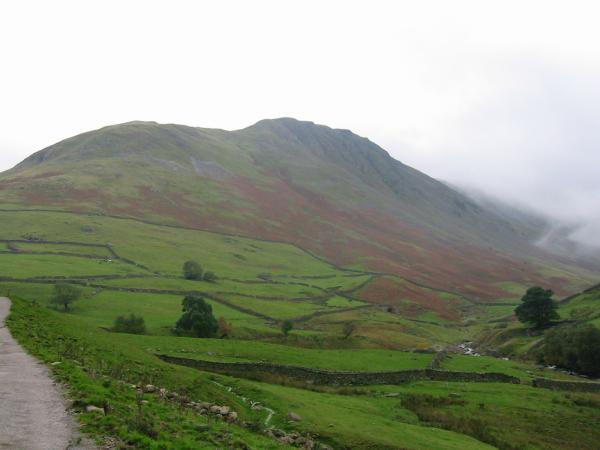
Looking back at Gray Crag, now out of the cloud
Previous Walk: Knott Rigg and Ard Crags (Sat 6 Oct 2001)
Next Walk: Glenridding circuit (Fri 19 Oct 2001)