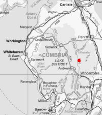
Hartsop Dodd
Height: 618m/2,027ft
Grid Reference: NY411118
Lists: FRCC (132) Wainwright (FE.23)
Ascents: 7
Wainwright's Far Eastern Fells guide book published in 1957 states Hartsop Dodd's height as 2,018ft but the OS 1:25,000 map now records 618m (2,027ft)
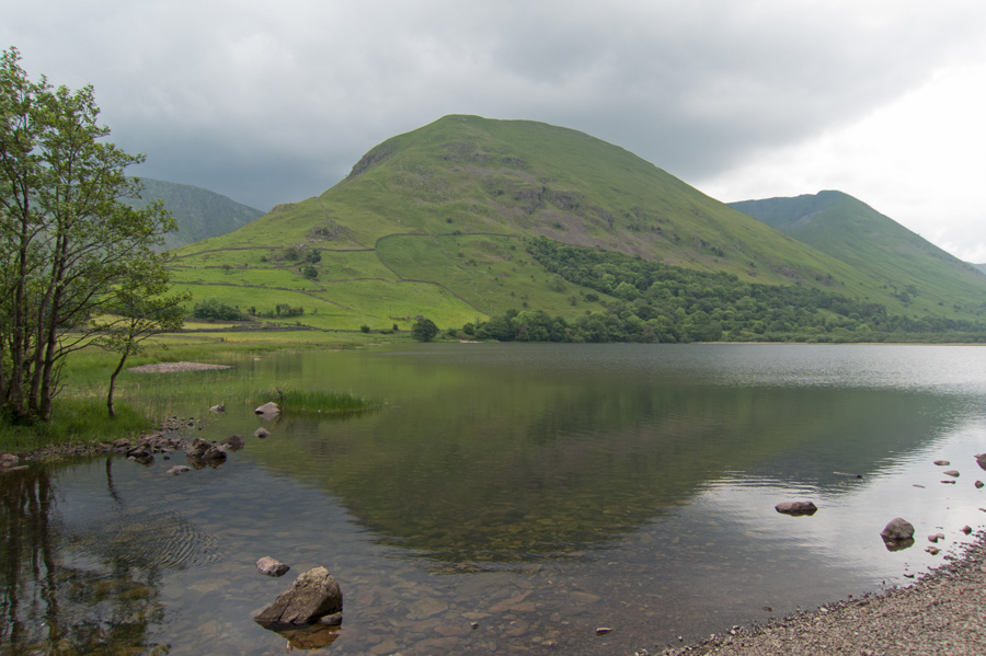
Looking across Brothers Water to Hartsop Dodd
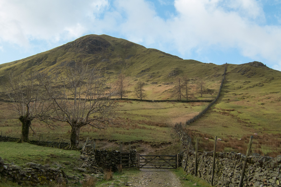
Hartsop Dodd from the edge of Hartsop
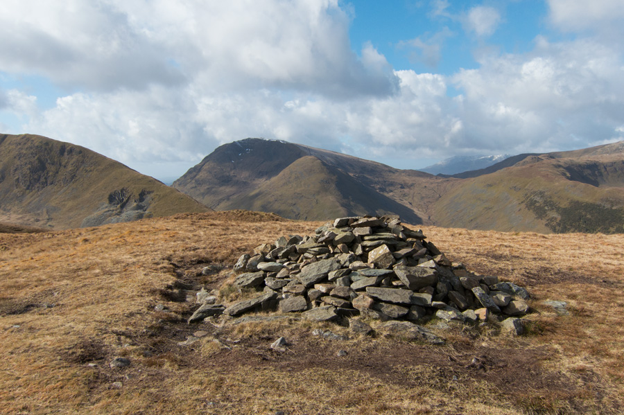
Middle Dodd with Red Screes behind from Hartsop Dodd's summit cairn
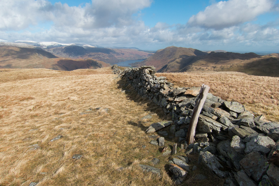
The wooden post that marks Hartsop Dodd's summit

Sat 11 Apr 2015 - Pasture Beck skyline
Hartsop - Hartsop Dodd - Stony Cove Pike (Caudale Moor) - Threshthwaite Mouth - Thornthwaite Crag - Gray Crag - Hayeswater - Hayeswater Gill - Hartsop [7.00 miles 2,840ft ascent]
Sat 26 Sep 2009 - Hartsop Dodd to Brock Crags
Hartsop - Hartsop Dodd - Stony Cove Pike (Caudale Moor) - Threshthwaite Mouth - Thornthwaite Crag - High Street - Straits of Riggindale - The Knott - Satura Crag - Brock Crags - Hartsop [8.25 miles 3,200ft ascent]
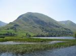
Sat 10 Jun 2006 - The Kirkstone Pass fells
Kirkstone Pass - Red Screes - Middle Dodd - Hartsop Hall - Brothers Water - Cow Bridge - Hartsop - Hartsop Dodd - Stony Cove Pike - Caudale Moor Tarn - Caudale Moor - St Raven's Edge - Kirkstone Pass [8.50 miles 3,200ft ascent]
Sun 23 Jan 2005 - Hayeswater and Pasture Beck skylines
Hartsop - Hayeswater - The Knott - High Street - Thornthwaite Crag - Gray Crag - Threshthwaite Mouth - Caudale Moor (Stony Cove Pike) - Caudale Head Tarn - Caudale Moor (John Bell's Banner) - Hartsop Dodd - Hartsop [10.25 miles 3,400ft ascent]
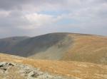
Sat 12 Apr 2003 - Caudale Moor and High Street
Hartsop - Hartsop Dodd - Caudale Moor (Stony Cove Pike) - Threshthwaite Mouth - Thornthwaite Crag - High Street - The Knott - Hayeswater - Hayeswater Gill - Hartsop [9.00 miles 3,100ft ascent]
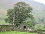
Sat 13 Oct 2001 - Pasture Beck skyline
Hartsop - Hartsop Dodd - Caudale Moor (Stony Cove Pike) - Threshthwaite Mouth - Thornthwaite Crag - Gray Crag - Hayeswater Gill - Hartsop [6.83 miles 2,840ft ascent]
Wed 30 Dec 1992 - Far Eastern Fells
Hartsop - Hartsop Dodd - Caudale Moor (Stony Cove Pike) - Threshthwaite Mouth - Thornthwaite Crag - High Street - Rampsgill Head - Kidsty Pike - The Knott - Hartsop [9.50 miles 3,600ft ascent]