Grange Fell and Castle Crag
Tue 2 Oct 2001
Route: Rosthwaite - Grange Fell (Brund Fell) - Grange Fell (King's How) - Grange in Borrowdale - Broadslack Gill - Castle Crag - Rosthwaite
Distance: 6.25 miles
Ascent: 1,800ft
Time: 3 hours 40 minutes
With: Anne
Notes:
Strong winds, good visibility, dry until a rain shower during the last 10 minutes.
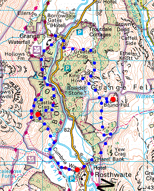
© Crown copyright. All rights reserved. Licence number AL100038401
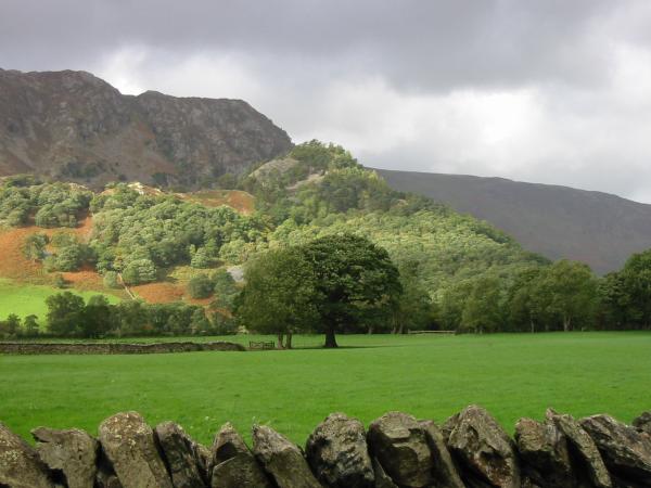
Castle Crag from Rosthwaite
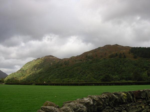
Grange Fell's two tops from Rosthwaite, King's How on the left and Brund Fell on the right
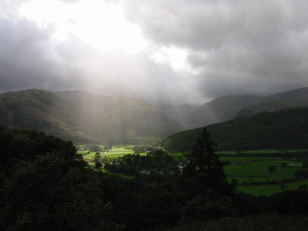
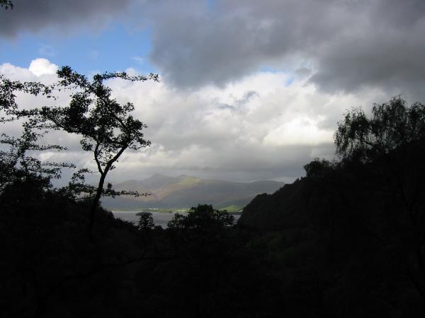
Upper Borrowdale from the slopes of Grange Fell
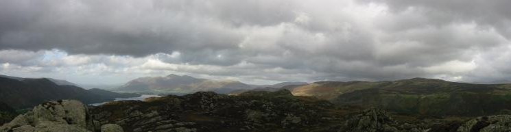
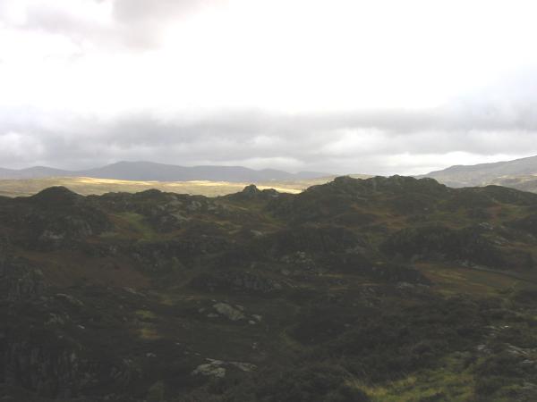
Northern Panorama from Brund Fell summit, Grange Fell
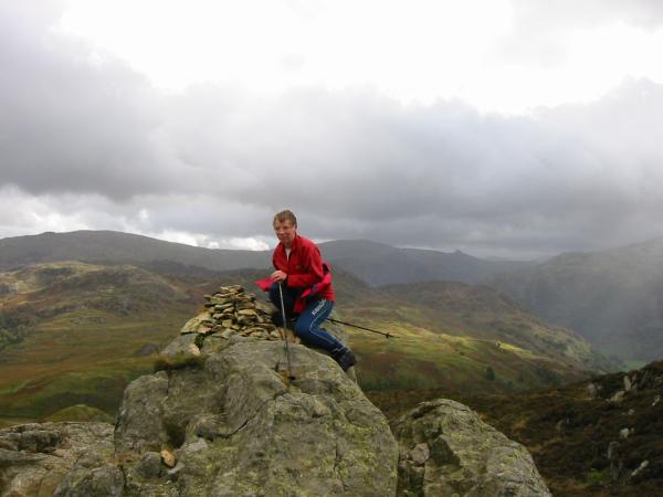
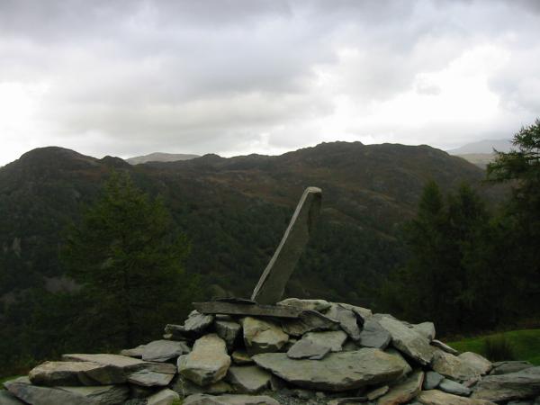
Ullscarf, High Raise and Pike O'Stickle from a very windy Brund Fell summit, Grange Fell
King's How with the Maiden Moor - Catbells ridge behind, from Brund Fell summit, Grange Fell
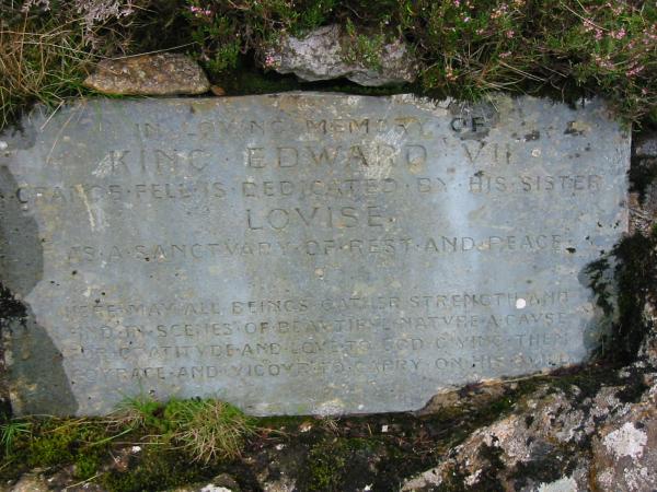
King Edward VII memorial plaque, King's How, Grange Fell
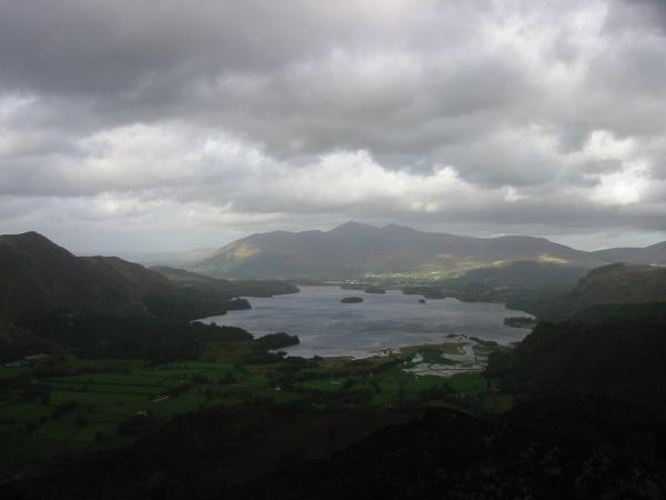
Skiddaw, Keswick and Derwent Water from King's How summit, Grange Fell
Brund Fell with the Helvellyn ridge behind from King's How summit, Grange Fell
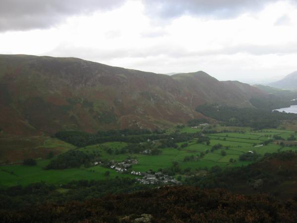
Grange with Maiden Moor and Catbells behind from King's How summit, Grange Fell
Skiddaw and Derwent from the path descending to Grange from King's How
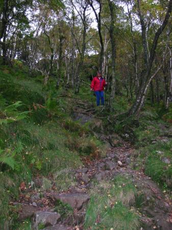
Descending from King's How to Grange
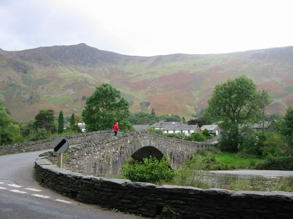
Grange bridge, Borrowdale
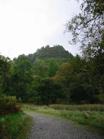
Castle Crag, Borrowdale
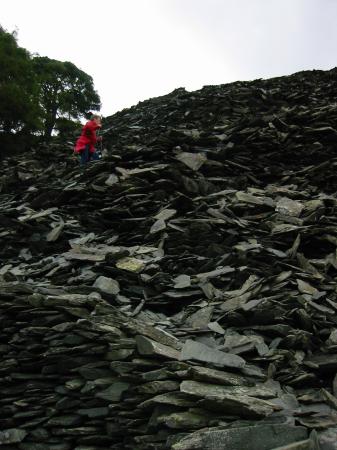
Ascending the spoil heap near the top of Castle Crag
Falcon Crag and the edge of Derwent Water with Lonscale Fell and Blencathra behind from Castle Crag summit
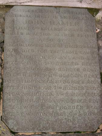
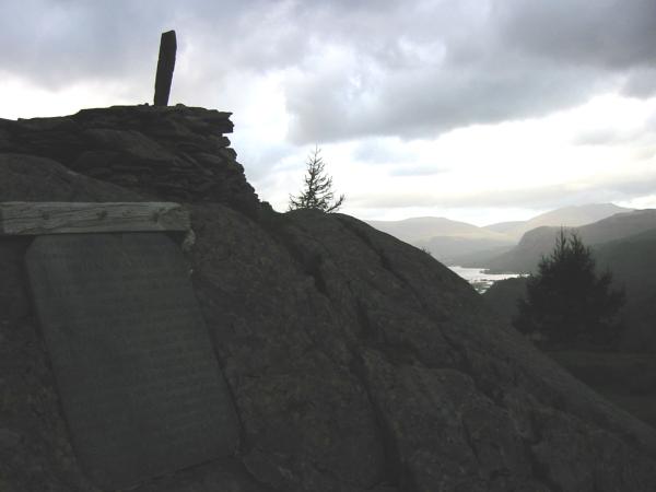
John Hamer memorial plaque, Castle Crag summit
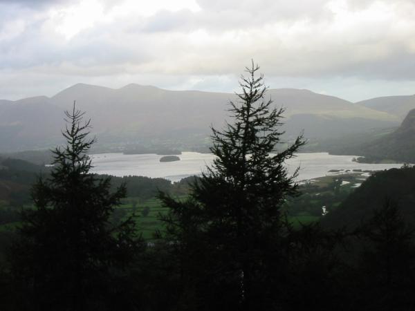
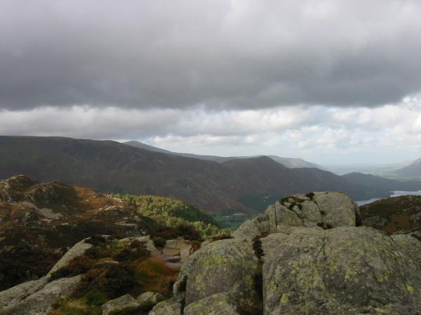
Skiddaw and Derwent Water from Castle Crag summit
Grange Fell from Castle Crag summit
Previous Walk: The Langdale Pikes (Sat 29 Sep 2001)