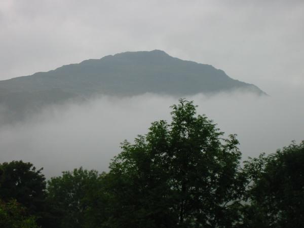
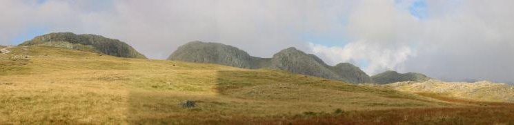
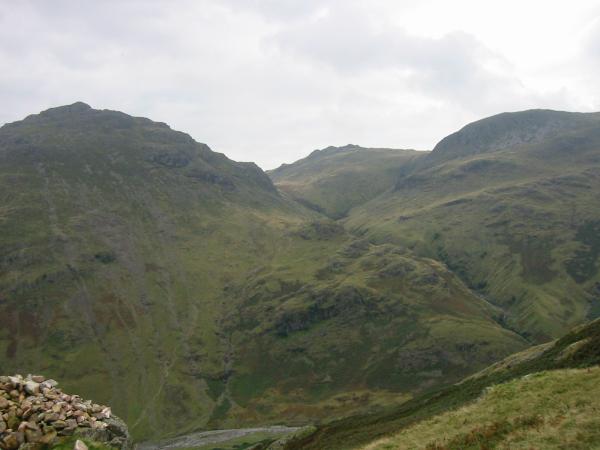
Oxendale skyline
Sat 22 Sep 2001
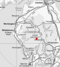
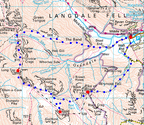
Route: Old Dungeon Ghyll Hotel, Great Langdale - Wall End - Pike O'Blisco - Red Tarn - Cold Pike - Crinkle Crags (Long Top) - Three Tarns - The Band - Stool End Farm - Old Dungeon Ghyll Hotel
Distance: 9.00 miles
Ascent: 3,800ft
Time: 5 hours 30 minutes
With: Anne
Notes:
Dry, no wind, in and out of cloud once above 2,000ft, cloud lifted once we started to descend.
© Crown copyright. All rights reserved. Licence number AL100038401
Pike O' Blisco from the Old Dungeon Ghyll Hotel, Great Langdale
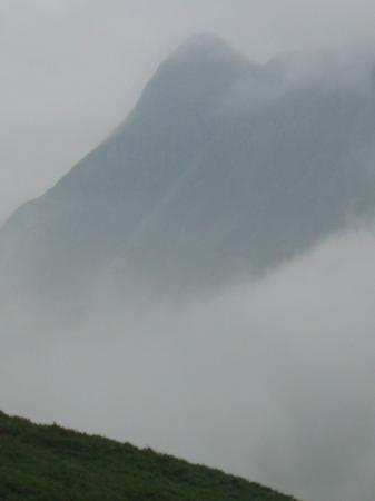
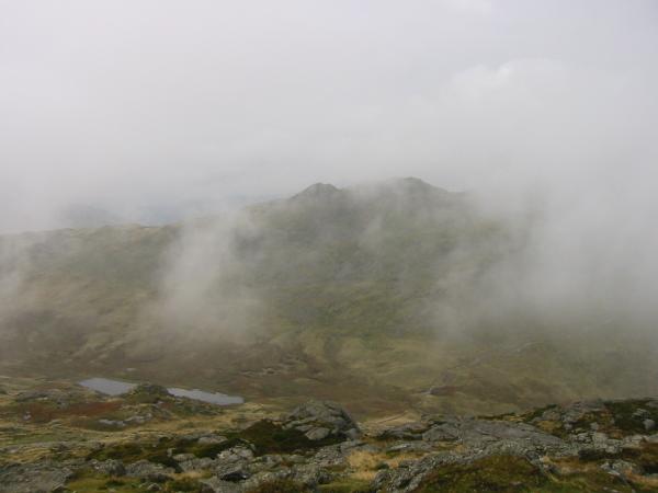
Pike O' Stickle in the cloud from the lower slopes of Pike O' Blisco
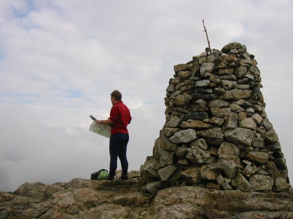
Pike O' Blisco summit
Cold Pike and Red Tarn from Pike O' Blisco
Cold Pike from Pike O' Blisco
Great Knott from Pike O' Blisco
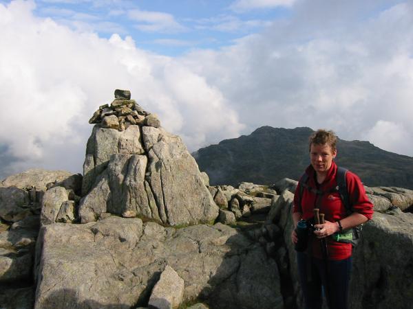
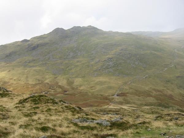
Cold Pike summit with Pike O' Blisco behind
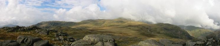
Little Stand, Crinkle Crags in cloud and Great Knott from Cold Pike
Pike O' Blisco and Cold Pike from the Crinkle Crags path
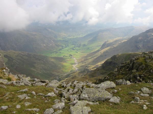
Looking down into Great Langdale from near Great Knott
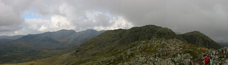
The 5 Crinkles of Crinkle Crags, the second from the left is the highest, and Shelter Crags on the far right
Crinkle Crags: Looking north, Crinkle #2 (highest) and Crinkle #3 from Crinkle #1 with the Scafells behind
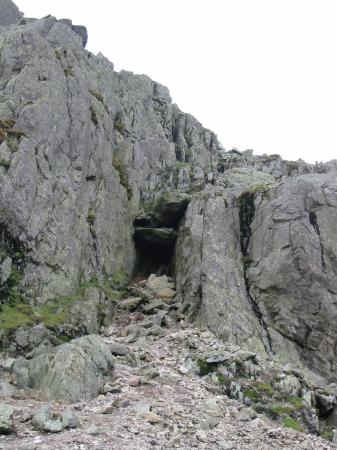
Wainwright's 'Bad Step' on Crinkle #2, Crinkle Crags
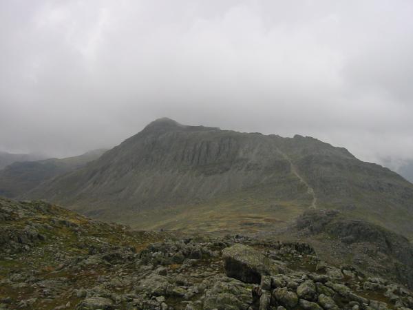
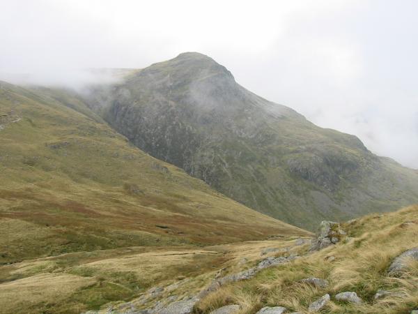
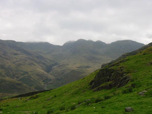
Bowfell from the north end of Crinkle Crags
Pike O' Blisco, Cold Pike and Great Knott from The Band
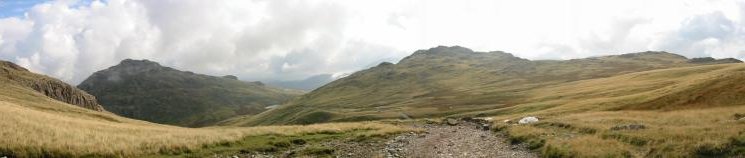
Crinkle Crags from The Band
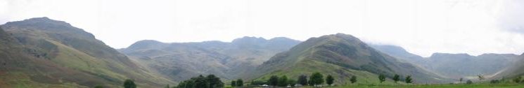
Langdale: Pike O' Blisco, Great Knott, Crinkle Crags, The Band with Stool End Farm at the bottom, Bowfell in cloud and Rossett Pike
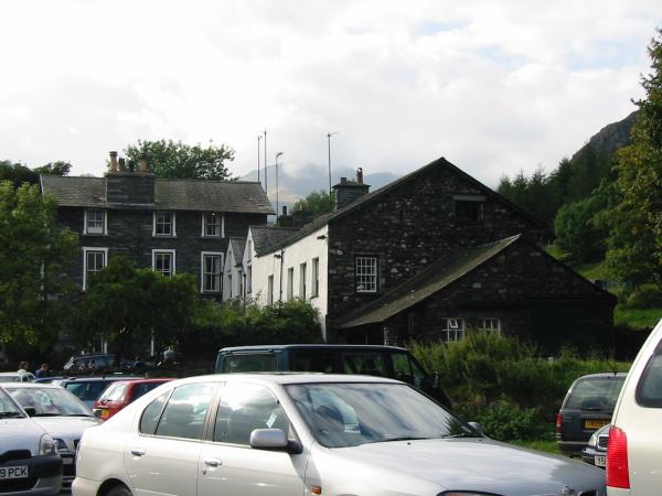
The Old Dungeon Ghyll Hotel, Great Langdale
Previous Walk: Deepdale Horseshoe (Sun 16 Sep 2001)
Next Walk: Green Crag from Eskdale (Sun 23 Sep 2001)