Deepdale Horseshoe
Sun 16 Sep 2001
Route: Patterdale - Glenamara Park - Thornhow End - Birks - Saint Sunday Crag - Deepdale Hause - Cofa Pike - Fairfield - Hart Crag - Hartsop Above How - Deepdale Bridge - road - Patterdale
Distance: 10.00 miles
Ascent: 3,450ft
Time: 5 hours 30 minutes
With: Anne
Notes:
Sunshine, dry, light winds, great views.
© Crown copyright. All rights reserved. Licence number AL100038401
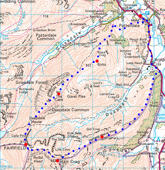
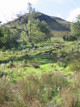
Birks from Glenamara Park, Patterdale
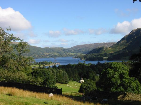
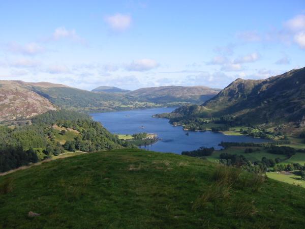
Ullswater from the lower slopes of Birks
Thornhow End, Birks
Ullswater from Thornhow End
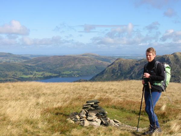
St Sunday Crag from Birks summit
Ullswater and Place Fell from Birks summit
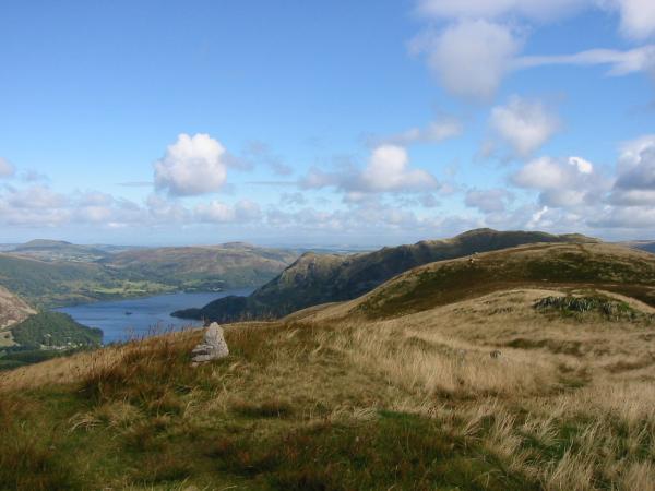
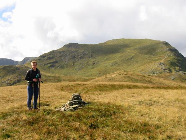
Birks 622m spot height - the real summit?

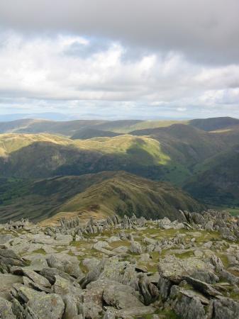
360 Panorama from Saint Sunday Crag summit
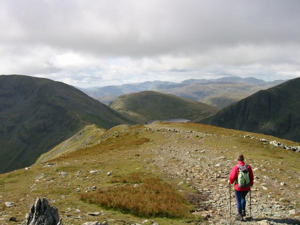
Leaving St Sunday Crag for Deepdale Hause and Fairfield
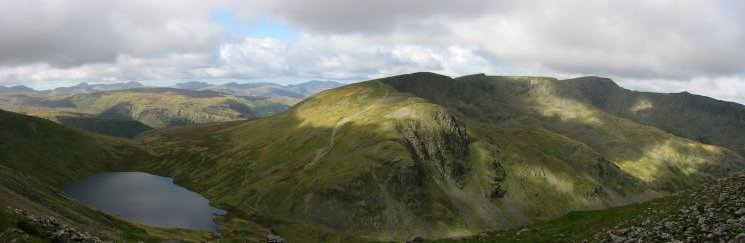
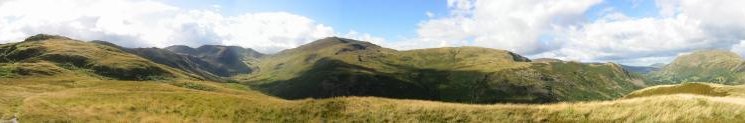
Panorama from Deepdale Hause
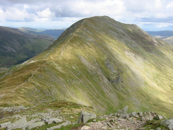
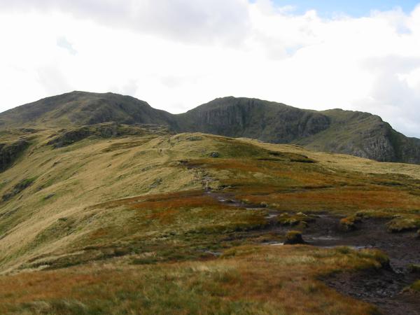
Deepdale Hause and St Sunday Crag from the lower slopes of Cofa Pike
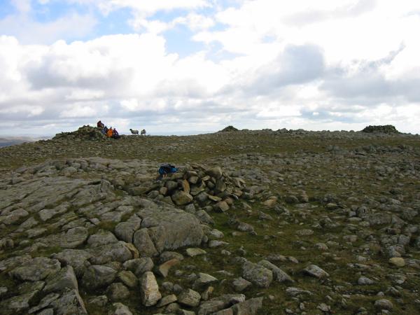
Fairfield summit
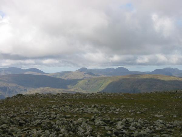
Looking west from Fairfield summit
Helvellyn from Fairfield
Froswick and Ill Bell from Fairfield summit
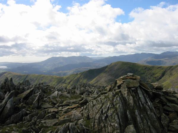
Great Rigg with the Coniston fells behind from Hart Crag's north west summit cairn
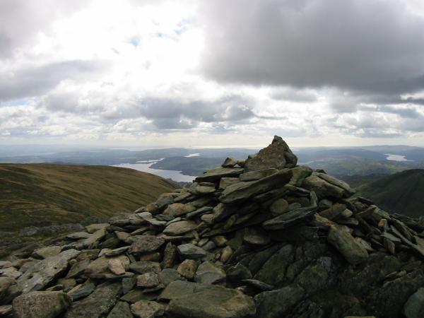
Windermere from Hart Crag's south east summit cairn
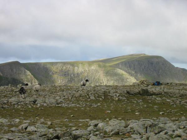
Looking down on Hartsop Above How from Hart Crag
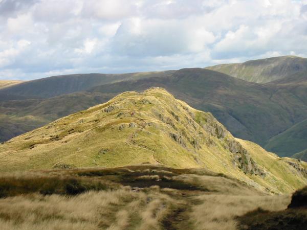
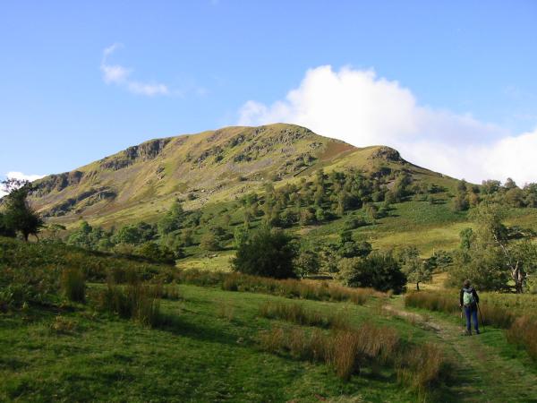
Hartsop Above How
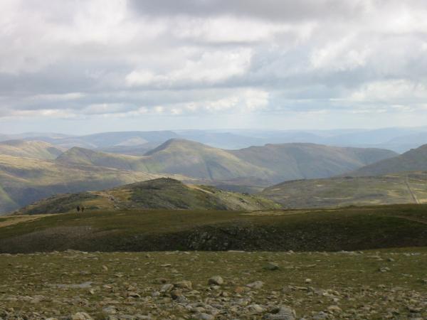
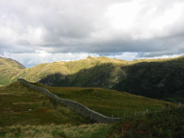
Looking back towards Hart Crag from Hartsop Above How

Kirkstone Pass from the lower part of the Hartsop Above How ridge
Angletarn Pikes from the lower part of the Hartsop Above How ridge
Deepdale Horseshoe from the end of the Hartsop Above How ridge
Previous Walk: Great Gable from Seathwaite (Sun 9 Sep 2001)
Next Walk: Oxendale skyline (Sat 22 Sep 2001)