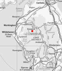
Ard Crags and Knott Rigg
Sat 15 Nov 2014
Route: Rigg Beck - Aikin Knott - Ard Crags - Knott Rigg - Keskadale - road - Rigg Beck
Distance: 5.25 miles
Ascent: 1,500ft
Time: 3 hours 10 minutes
With: Anne
Notes:
Blanket cloud lowering
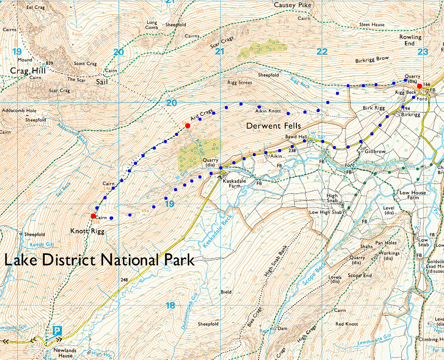
© Crown copyright. All rights reserved. Licence number AL100038401
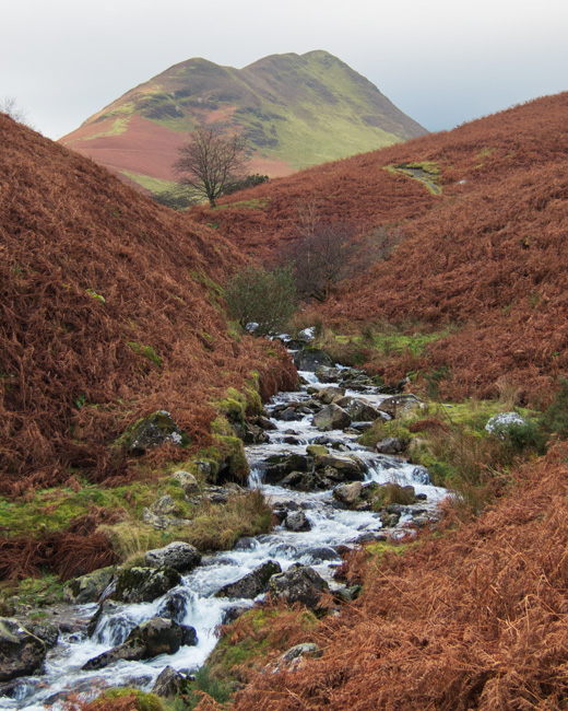
Ard Crags from Rigg Beck
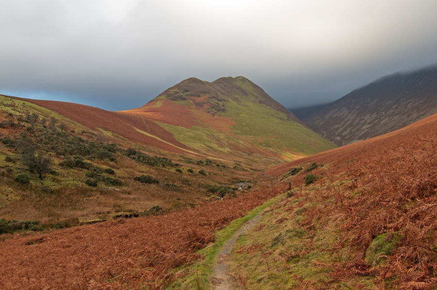
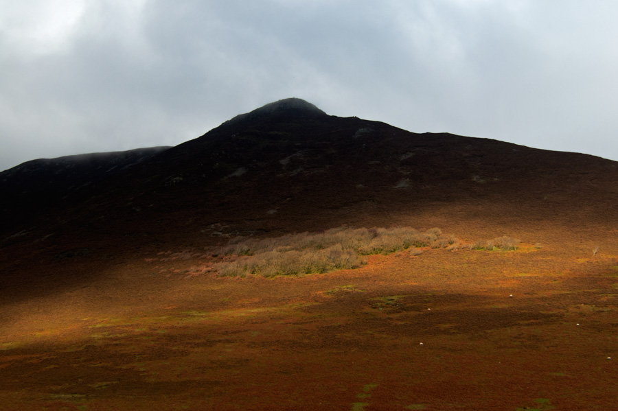
Ancient Oak woodland on the side of Causey Pike
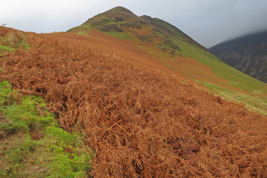
Heading up
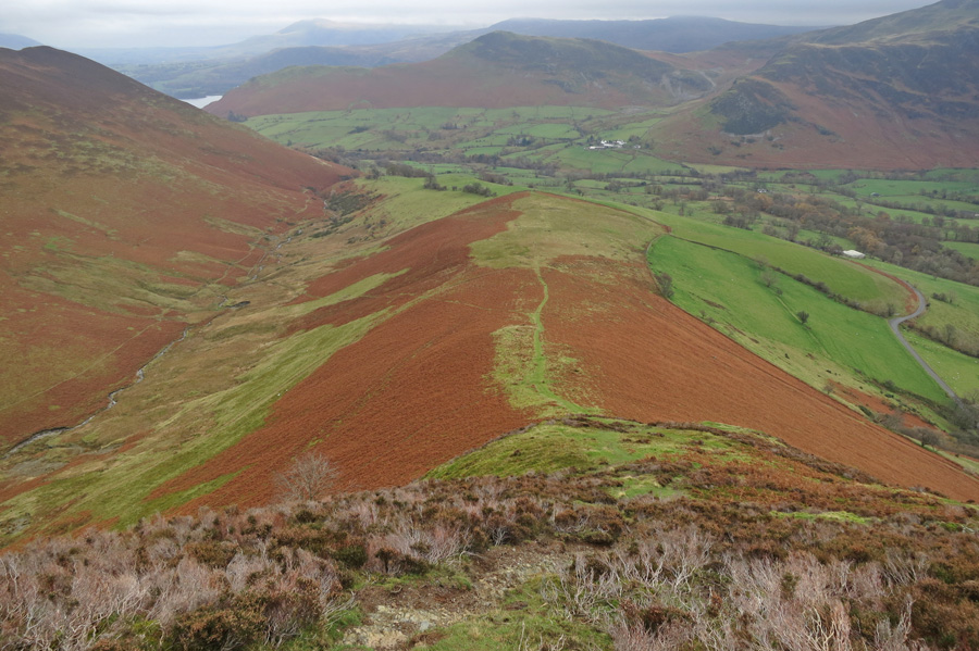
The view east from the ridge
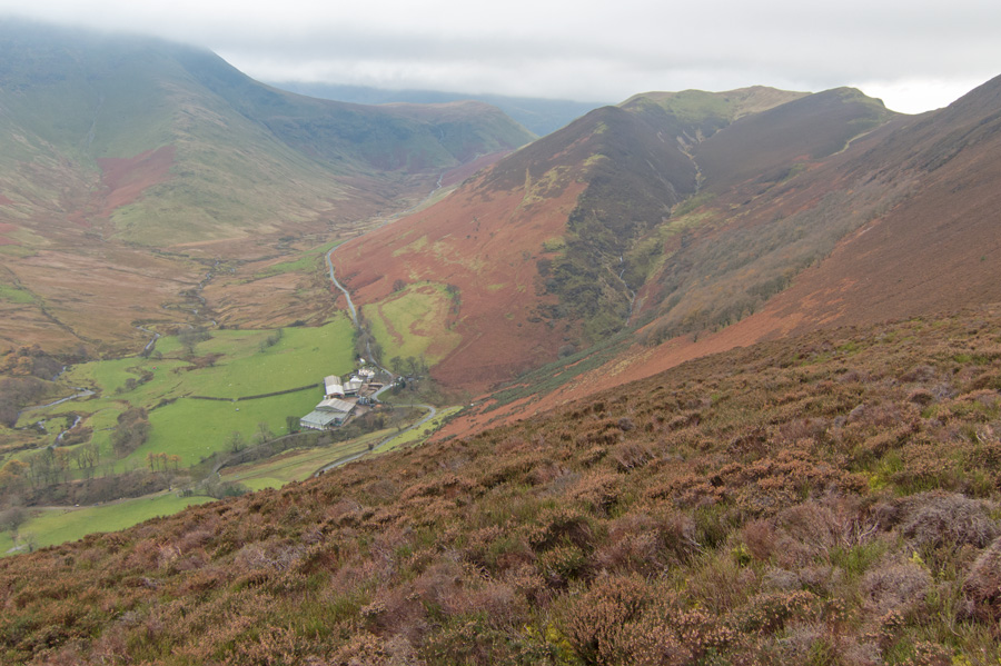
Newlands Pass, Keskadale Farm and Knott Rigg
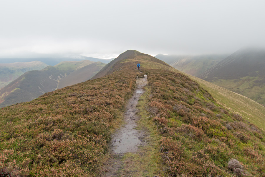
Heading for Ard Crags summit
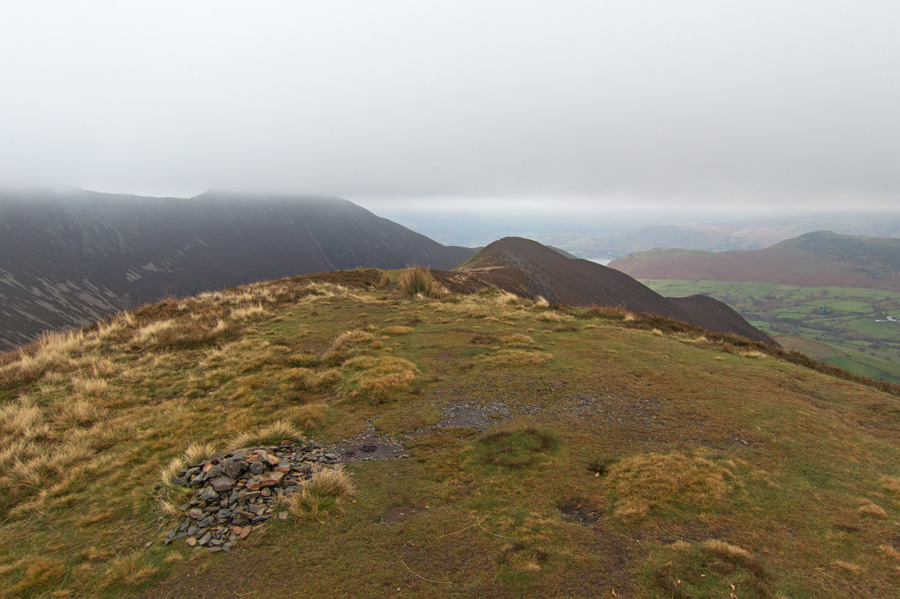
Looking back from Ard Crags summit with the top of Causey Pike now in cloud
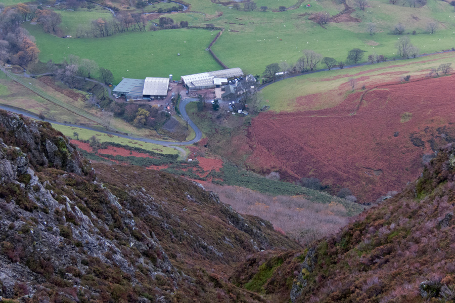
Keskadale Farm far below
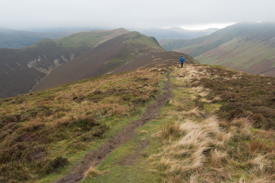
Heading for Knott Rigg
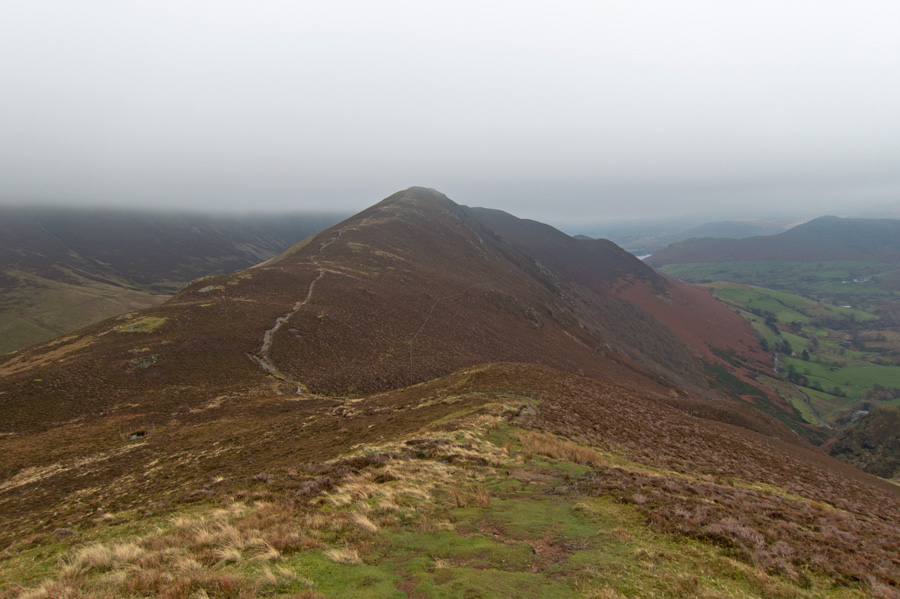
Looking back to Ard Crags
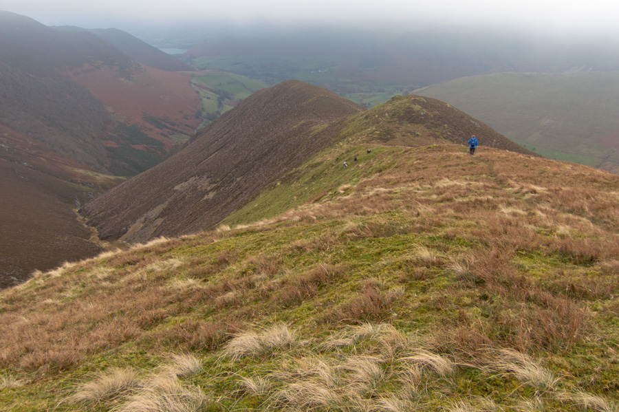
Descending the ridge to Keskadale Farm from Knott Rigg
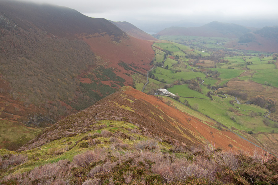
Looking down the ridge
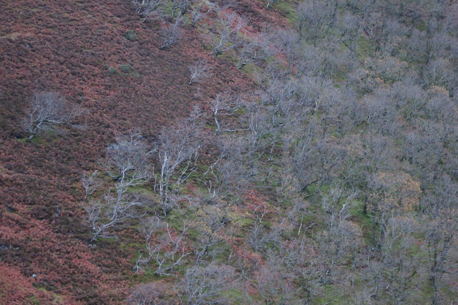
Oak woodland
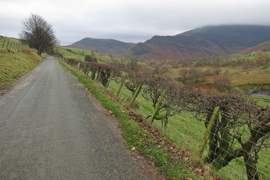
On the road back to Rigg Beck
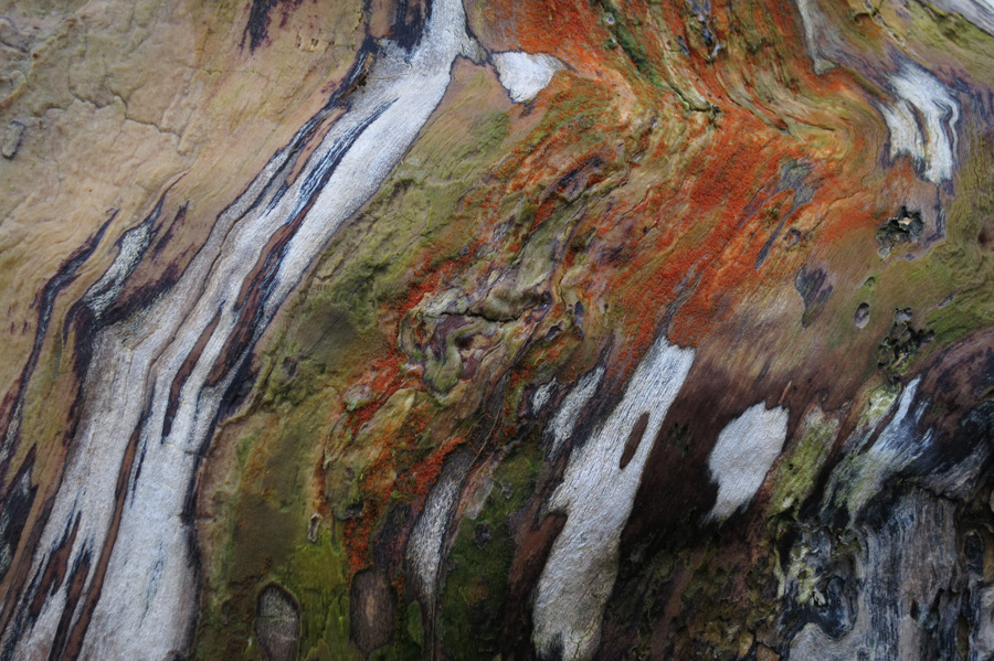
Great patterns on this dead tree
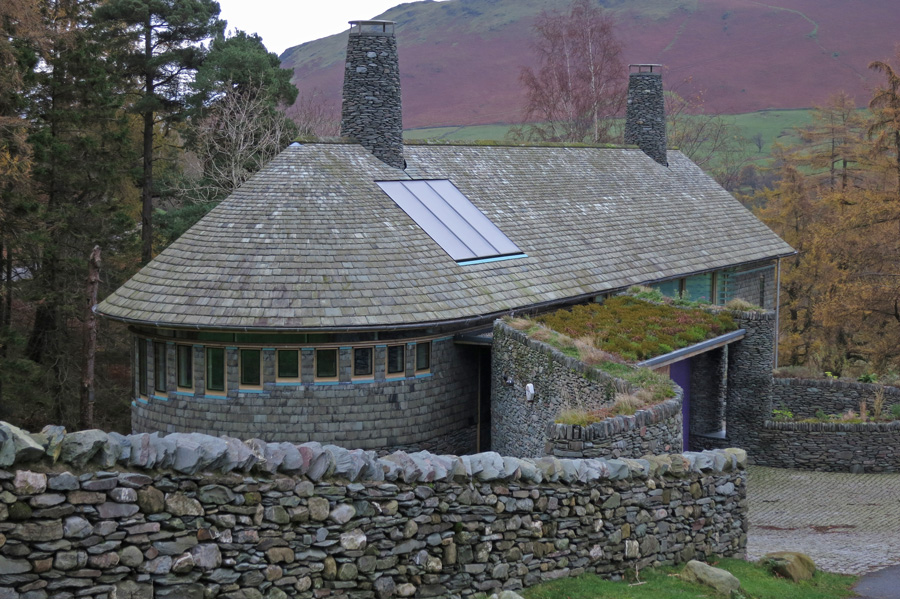
Rigg Beck, once the site of the [[Photo:181|1472|Purple House]] which was destroyed by fire in June 2008
Previous Walk: Ill Bell's north-east ridge (Tue 4 Nov 2014)
Next Walk: Latrigg (Sun 16 Nov 2014)
