Loughrigg Fell from Ambleside
Sat 18 Jul 2009
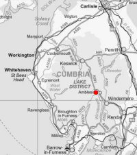
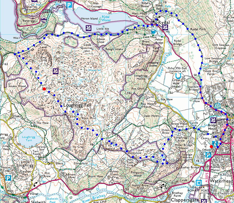
Route: Ambleside - Miller Bridge - Todd Crag - Lily Tarn - Loughrigg Fell - Loughrigg Terrace - Rydal Water - Rydal - Rydal Hall - Rydal Park - Ambleside
Distance: 6.75 miles
Ascent: 1,300ft
Time: 3 hours 30 minutes
With: Anne
Notes:
Sunny intervals , a couple of short showers
© Crown copyright. All rights reserved. Licence number AL100038401
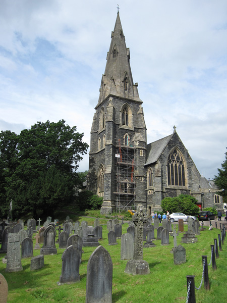
Ambleside Parish Church of St. Mary The Virgin
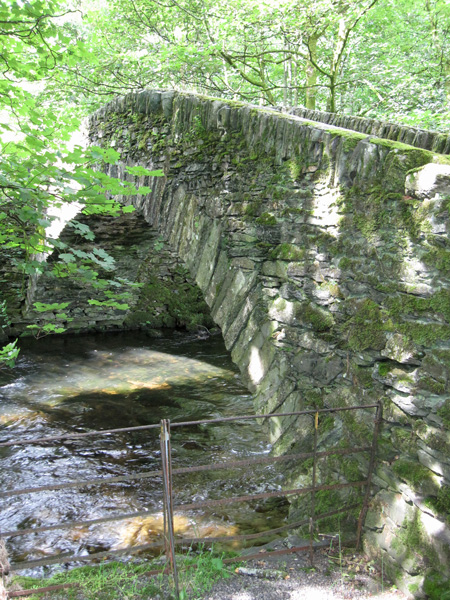
Miller Bridge across the River Rothay
The twin tops of Heron Pike and Great Rigg (the west arm of the Fairfield Horseshoe)
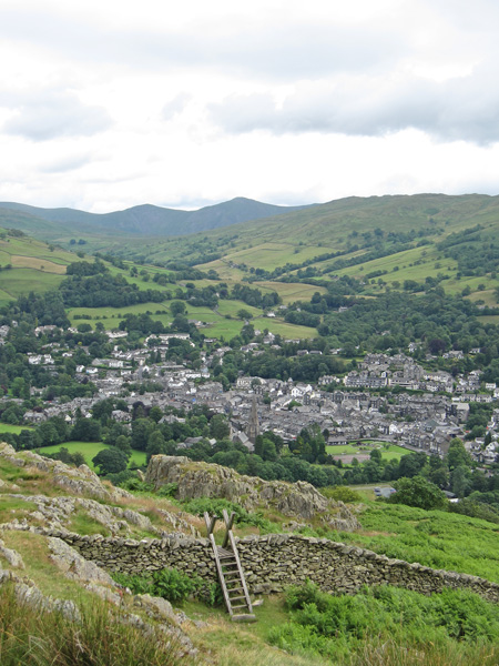
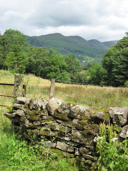
Ambleside from Todd Crag with the conical Froswick and Ill Bell in the distance

The Fairfield Horseshoe from Todd Crag
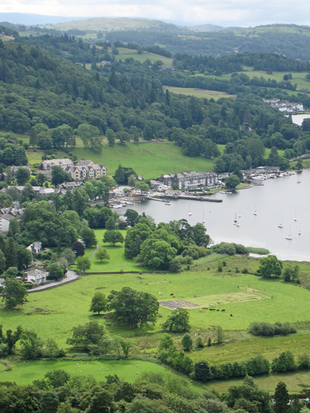
Waterhead and Galava Roman Fort
Loughrigg Fell with Bowfell and the Langdale Pikes beyond
Wansfell Pike from Lily Tarn
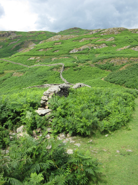
Loughrigg Fell
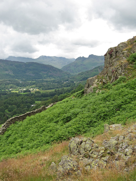
Cloudy over the Coniston Fells
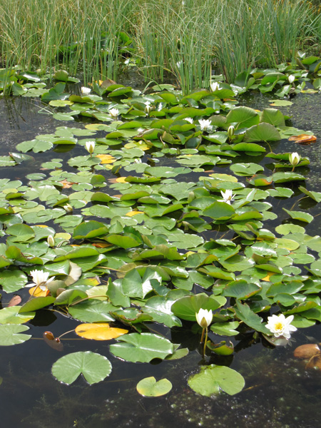
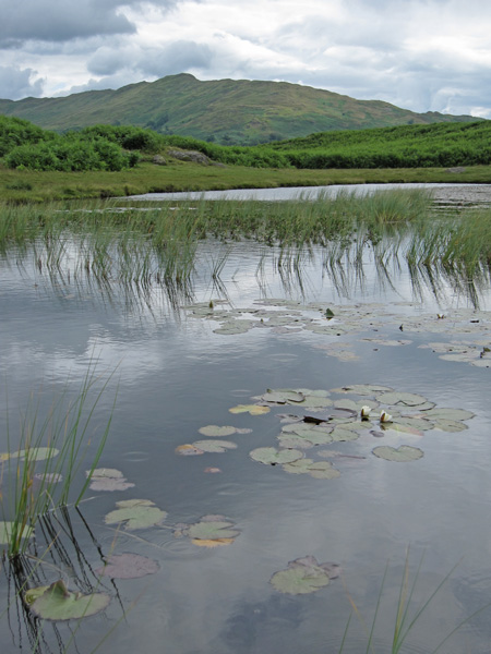
Water lilies on an un-named tarn
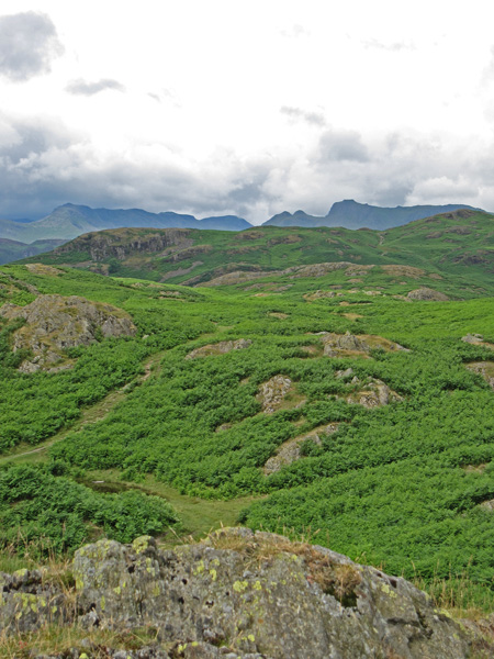
Towards the Langdale Pikes
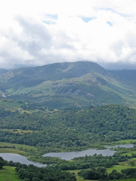
Over Elter Water to Wetherlam
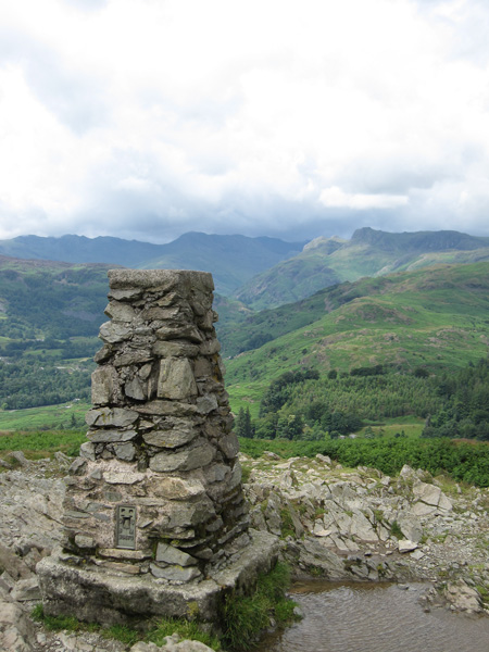
Loughrigg Fell's summit trig point
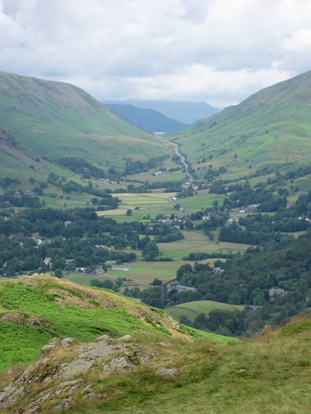
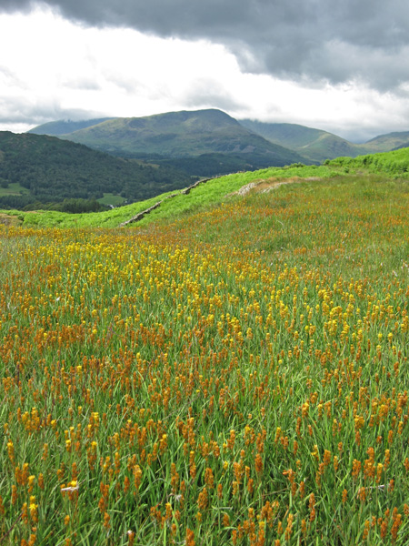
Dunmail Raise
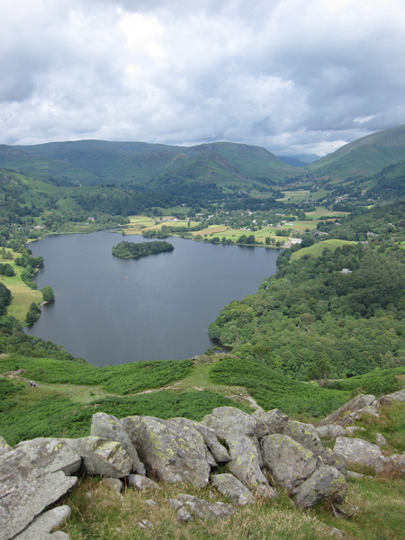
Grasmere
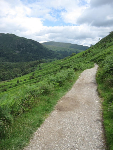
Loughrigg Terrace
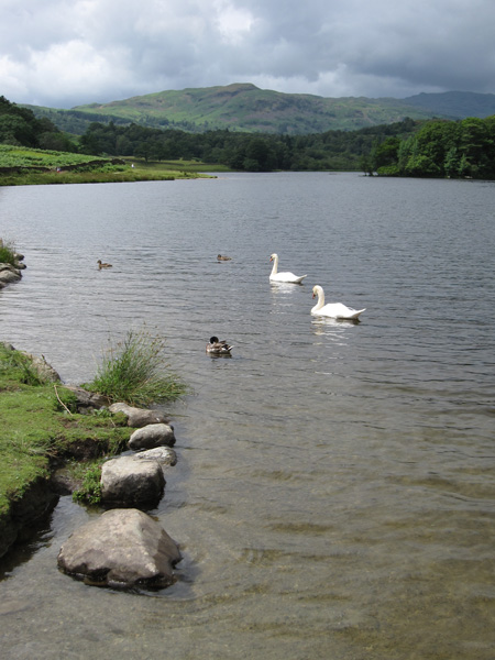
Rydal Water and Silver How
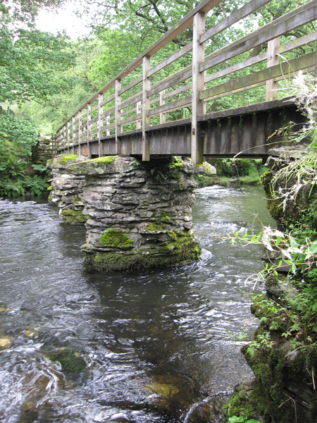
Footbridge over the River Rothay at Rydal
Previous Walk: Dufton Pike (Tue 14 Jul 2009)
Next Walk: Black Crag and Holme Fell (Sun 19 Jul 2009)