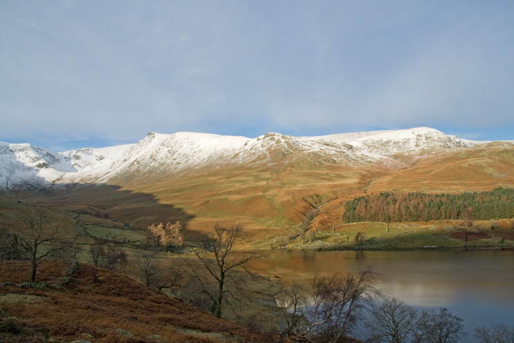
High Street from Mardale Head
Sat 29 Nov 2008
Route: Mardale Head - Rough Crag - Caspel Gate Tarn - Long Stile - High Street - Roman Road - Straits of Riggindale - Rampsgill Head - Kidsty Pike - Kidsty Howes - Riggindale - Haweswater - Mardale Head
Distance: 7.50 miles
Ascent: 2,435ft
Time: 4 hours 45 minutes
With: Anne
Notes:
Snow on the tops, blue skies and sunshine, no wind
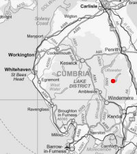
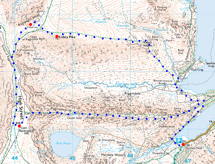
© Crown copyright. All rights reserved. Licence number AL100038401
Looking across Riggindale to Kidsty Pike
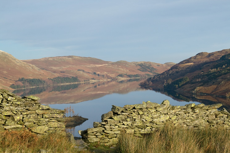
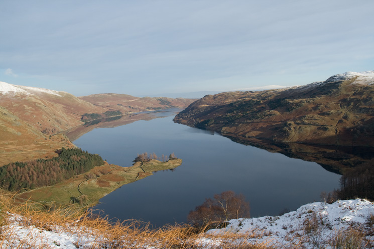
Haweswater
Speaking Crag sticking out into Haweswater
The way ahead
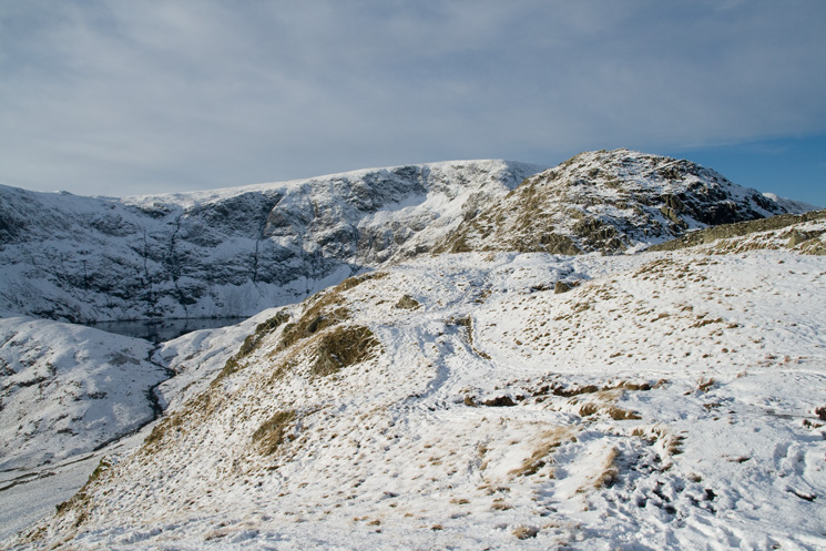
Nan Bield Pass and a glimpse of Small Water
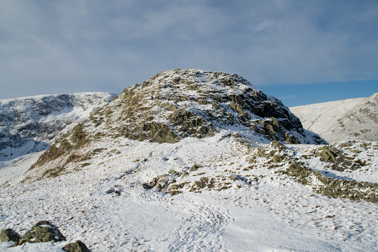
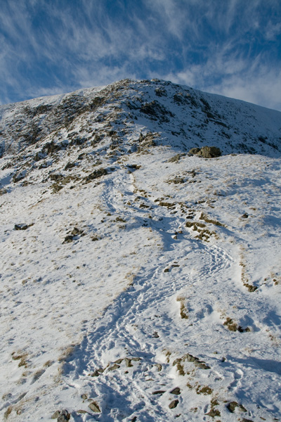
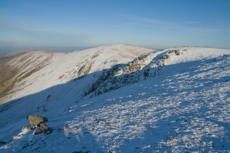
The bump before Rough Crag
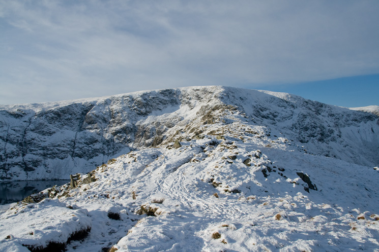
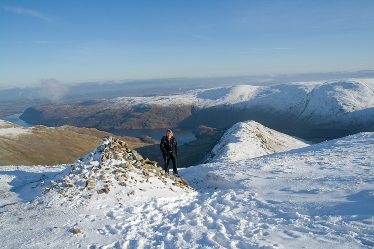
Rough Crag with High Street behind and Blea Water on the left
Blea Water from Rough Crag's summit
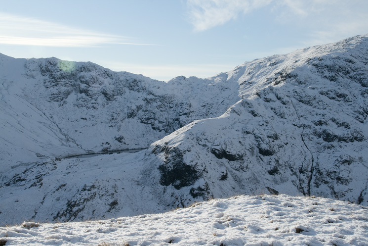
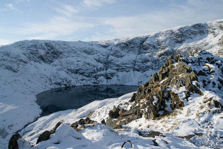
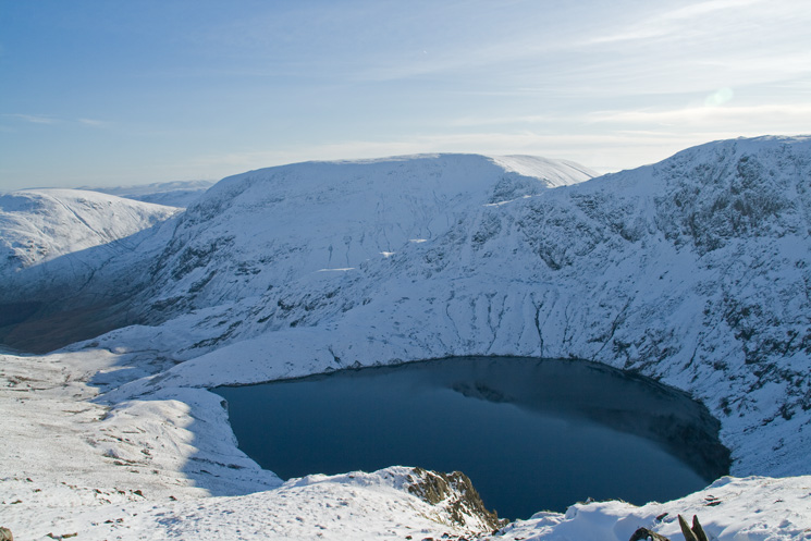
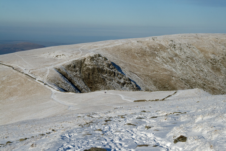
Caspel Gate Tarn and the Long Stile ridge onto High Street's summit
Looking back to Rough Crag and Caspel Gate Tarn
Long Stile
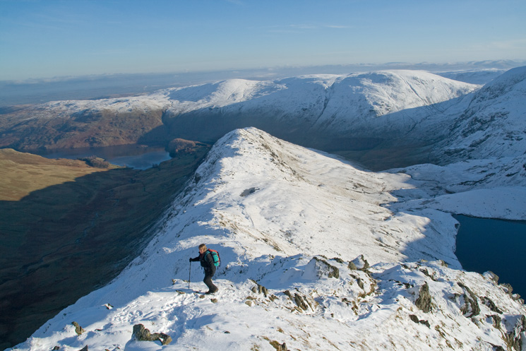
Looking over Blea Water to Harter Fell
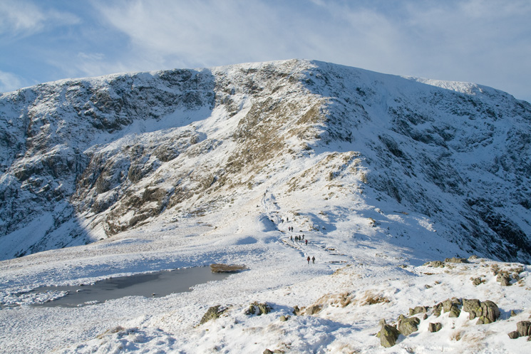
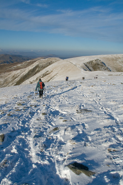
Ascending Long Stile with Rough Crag now far below
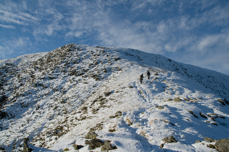
Nearly at the top of Long Stile
Top of Long Stile
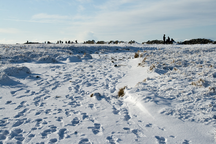
Nearing High Street's summit
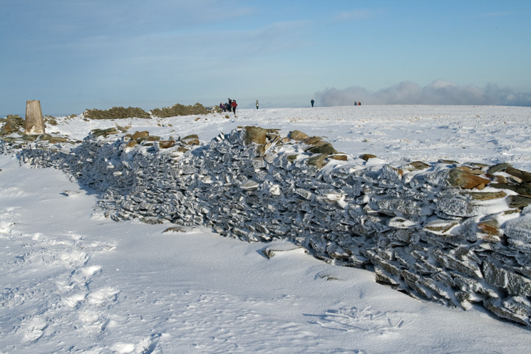
High Street's summit
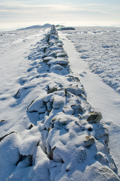
High Street's summit wall
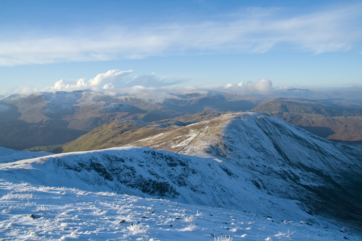
Looking across to the Helvellyn range from High Street's summit
Zooming in on Helvellyn, Striding Edge and Catstycam
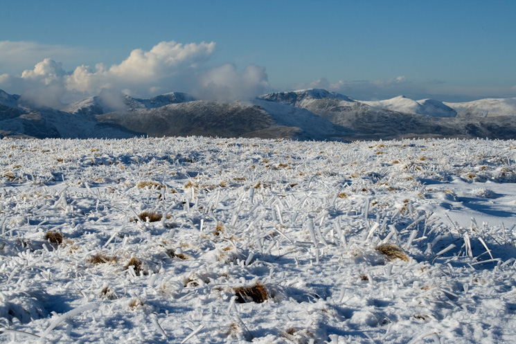
The high central fells
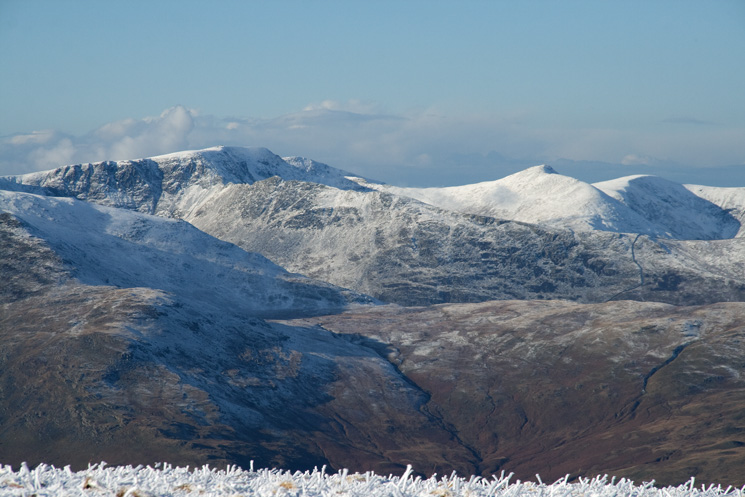
Bowfell, Scafell, Scafell Pike behind Esk Pike and Great End

Hayeswater from the Roman Road
The Straits of Riggindale and Twopenny Crag
Heading for the Straits of Riggindale
Looking back to High Street
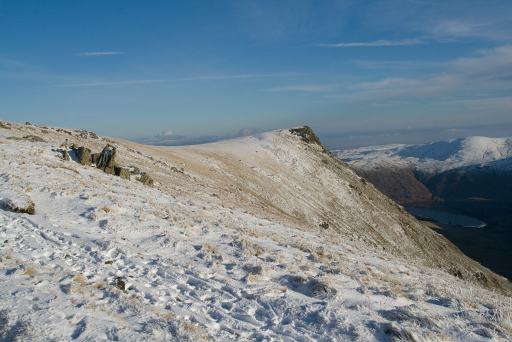
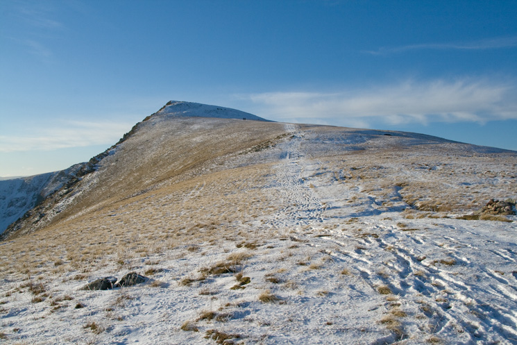
Kidsty Pike
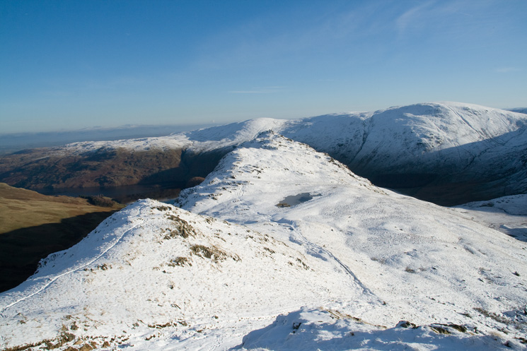
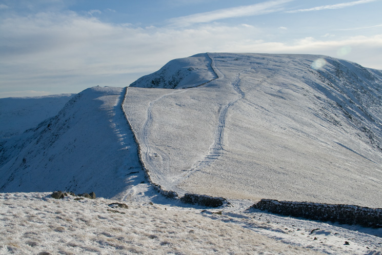
North along the High Street ridge from Rampsgill Head
Rest Dodd from Rampsgill Head
Looking back to Kidsty Pike from the descent to Kidsty Howes
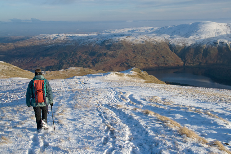
Descending to Kidsty Howes
Previous Walk: Angle Tarn from Martindale (Wed 12 Nov 2008)
Next Walk: Ullscarf to High Tove (Sun 30 Nov 2008)