Gowbarrow Fell and Little Mell Fell
Sat 19 Jan 2008
Route: Aira Force middle carpark (Park Brow) - Aira Force - Green Hill (Gowbarrow Park) (1,450ft / 442m) - Gowbarrow Fell - Great Meldrum - Little Meldrum (1,325ft / 404m) - Watermillock Fell (1,391ft / 424m) - The Hause - Little Mell Fell - The Hause - The Church of All Saints, Watermillock - Swinburn's Park - shooting lodge - traverse above Yew Crag - Aira Force - Park Brow
Distance: 8.50 miles
Ascent: 2,300ft
Time: 5 hours
With: David Hall
Notes:
Sunny! High cloud building during the day.
If you are collecting Birketts then the grid reference for Green Hill - Gowbarrow Park is wrong in the index to the hardback book. The grid reference given is for the 464m spot height (northern green dot on the route map), rather than the cairned top mentioned in the text at NY 408 209 (southern green dot).
There is no public right of way over Little Meldrum or Watermillock Fell.
Watermillock Fell is not named on the OS 1:25,000 map.
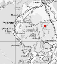

© Crown copyright. All rights reserved. Licence number AL100038401

Aira Force

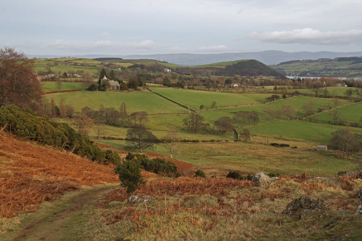
Ullswater from the path up Green Hill

The path up Green Hill

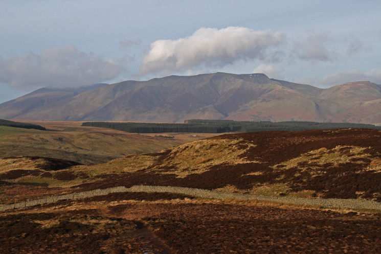
Looking over Dockray to Blencathra

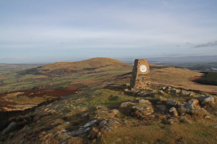
Looking towards the Dodds from Green Hill's summit cairn

Gowbarrow Fells summit (left) and Little Mell Fell (right) from the 464m spot height
Great Dodd and Clough Head with Dockray below
Little Mell Fell from Gowbarrow Fell's summit
Blencathra from Gowbarrow Fell's summit
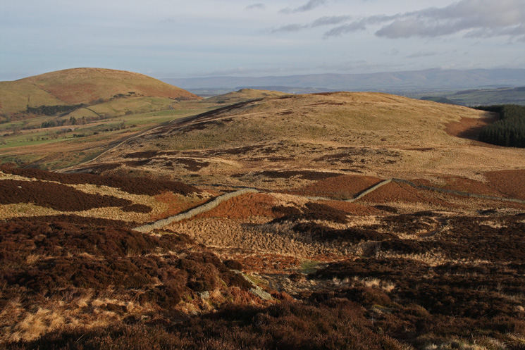
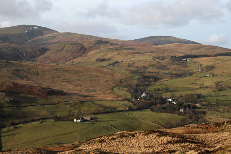
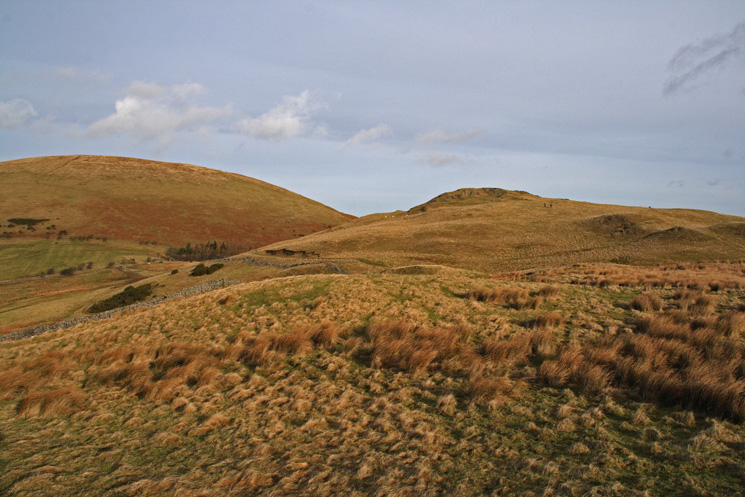
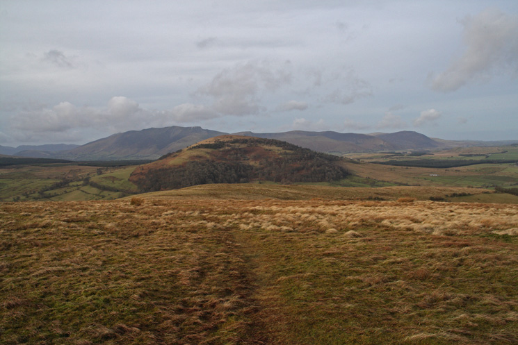
Little Mell Fell (far left), Watermillock Fell (pointed top) and Great Meldrum (moorland centre) from Gowbarrow Fell
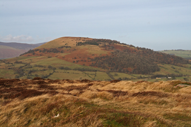
Great Mell Fell from Great Meldrum's summit

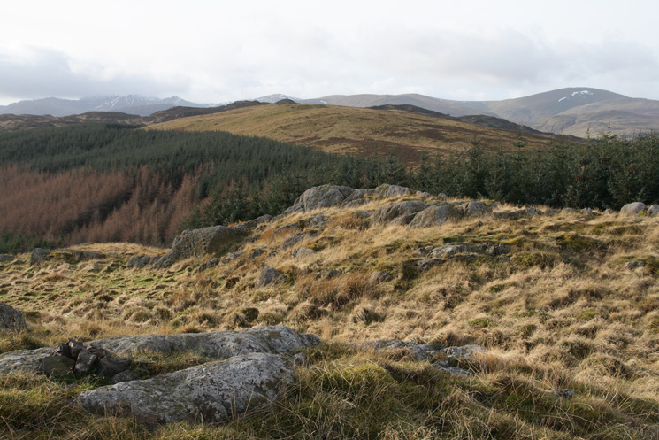
Looking along the ridge to Little Meldrum (summit to the right of the woodland on the ridge) and Watermillock Fell (conical top) from Great Meldrum
Looking back to Great Meldrum from Little Meldrum's summit

Blencathra and Great Mell Fell from Little Meldrum's summit
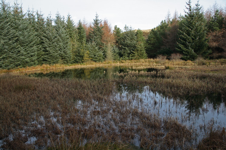
Part of the un-named tarn (Little Meldrum Tarn?) in the wood near Little Meldrum
Little Mell Fell and Watermillock Fell

Blencathra and Great Mell Fell from Watermillock Fell's summit
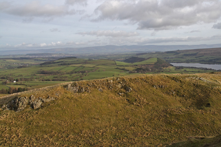
Looking across the Eden Valley to the North Pennines from Watermillock Fell
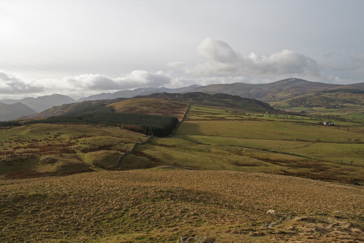
Looking back along the ridge to Gowbarrow Fell with the Dodds behind from Watermillock Fell
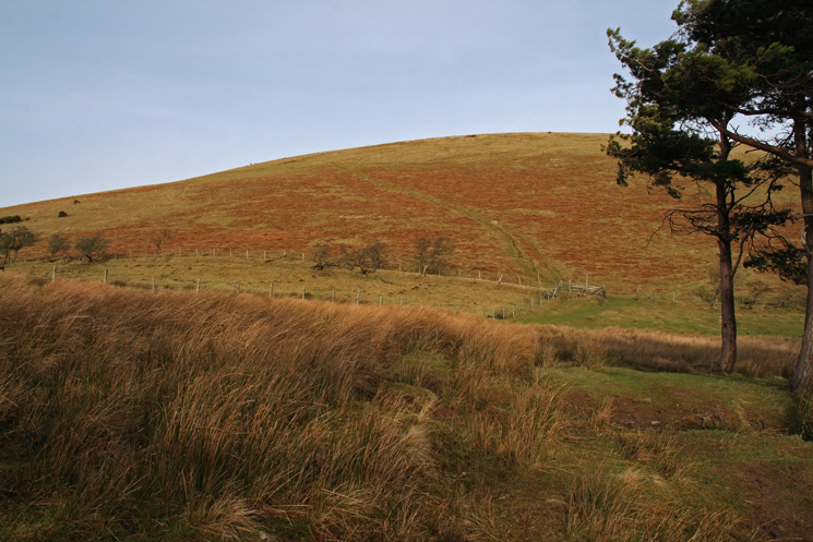
Little Mell Fell from The Hause

Little Mell Fell's trig point
Great Mell Fell with the northern fells behind from Little Mell Fell

Zooming in, Helvellyn from Little Mell Fell
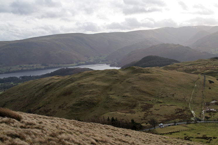
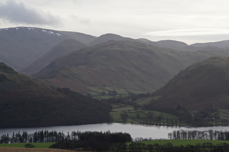
Looking over Watermillock Fell to Ullswater and the northern end of the High Street ridge from our descent back to The Hause
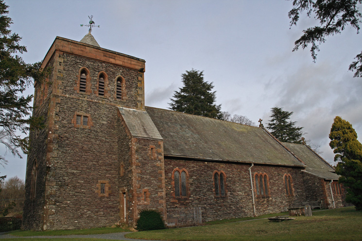
The Church of All Saints Watermillock
The Church of All Saints Watermillock
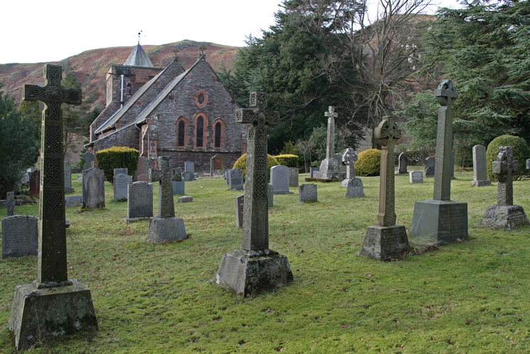
Looking back to the church as we head for Swinburn's Park
Beda Head seen across Ullswater
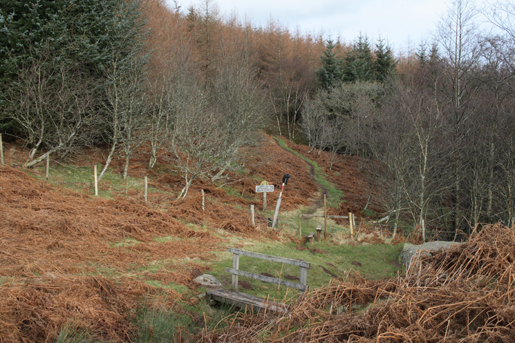
Looking back into Swinburn's Park as we reach the old shooting lodge on Gowbarrow Fell

The remains of the shooting lodge, Gowbarrow Fell
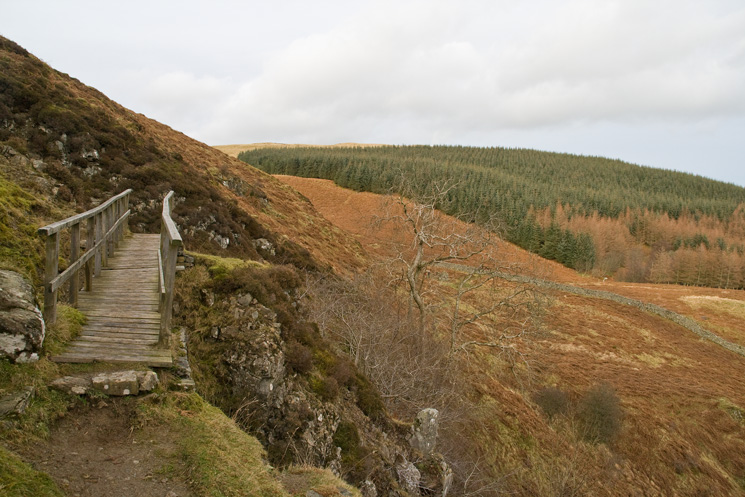
The bridge on the traverse

Looking back towards Swinburn's Park as we head along the traverse towards Yew Crag
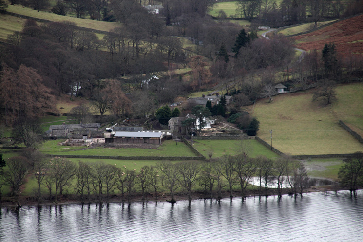
Zooming in on Sandwick on the other side of Ullswater

The memorial seat above Yew Crag
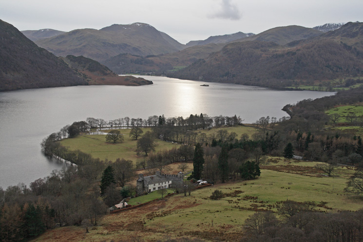
Lyulph's Tower and Ullswater
Previous Walk: 101 (Thu 17 Jan 2008)
Next Walk: Crinkle Crags (Sun 20 Jan 2008)