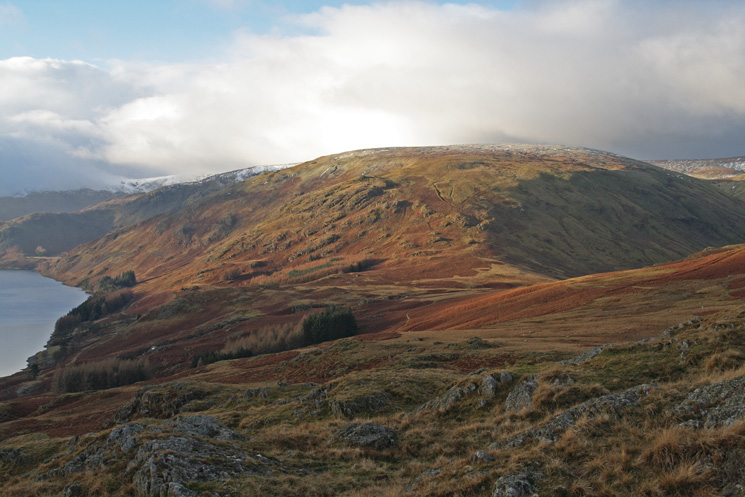
Wether Hill and High Raise from Burnbanks
Sat 12 Jan 2008
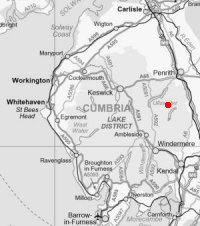
Route: Burnbanks - Pinnacle Howe - Four Stones Hill - standing stones - Bampton Fell - Low Kop - High Kop - Wether Hill - Red Crag - Redcrag Tarn - Raven Howe - High Raise - Low Raise - Long Grain - Measand End - Measand Beck - Haweswater - Burnbanks
Distance: 11.75 miles
Ascent: 2,550ft
Time: 5 hours 20 minutes
With: David Hall
Notes:
Sunny intervals, a bit of drizzle but mostly dry. Some icy snow on High Raise.
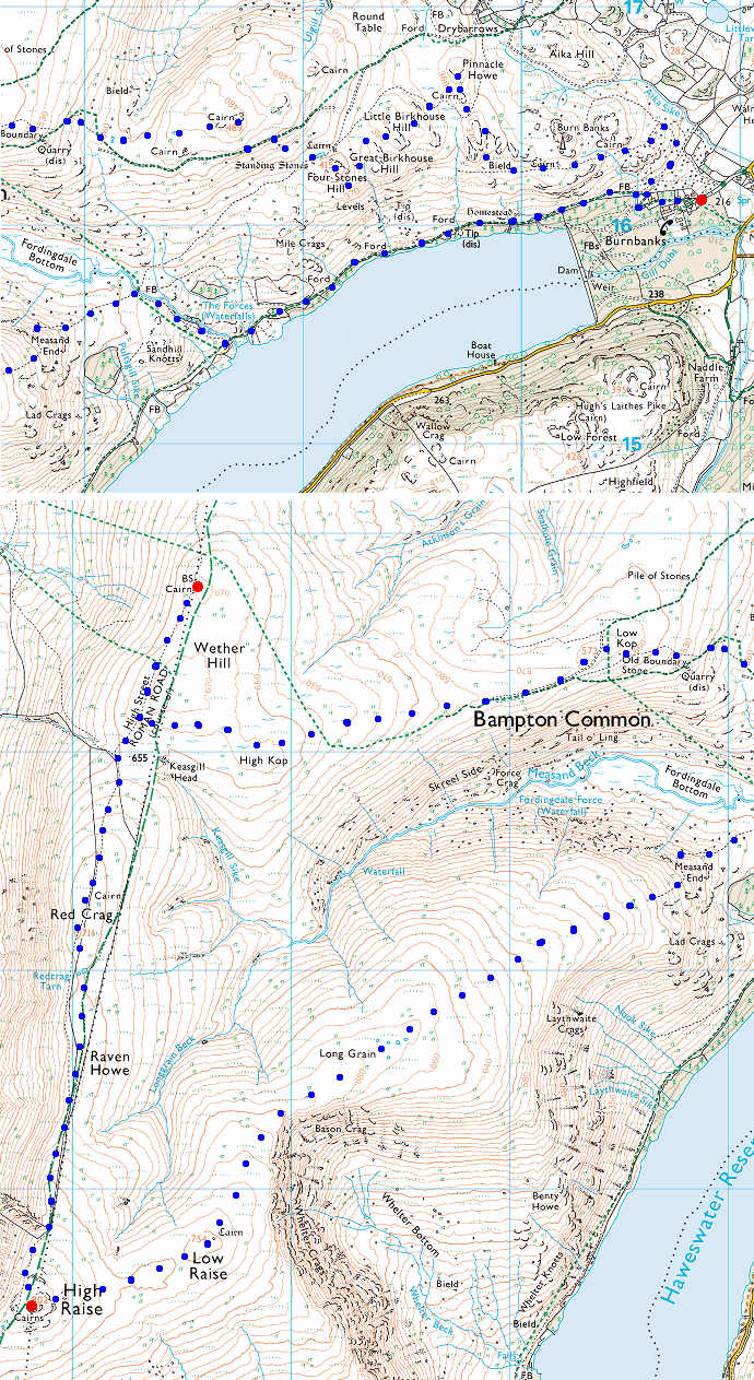
© Crown copyright. All rights reserved. Licence number AL100038401
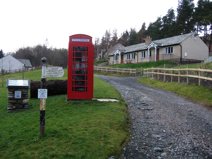
Burnbanks

Bampton Fell from the summit of Pinnacle Howe

Looking back to the sunlit summit of Pinnacle Howe from Little Birkhouse Hill
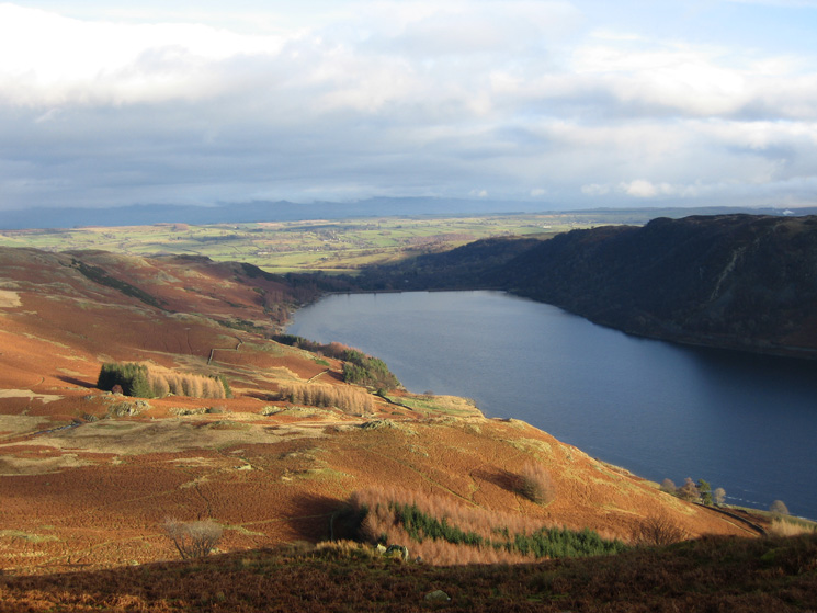
Measand End from Four Stones Hill
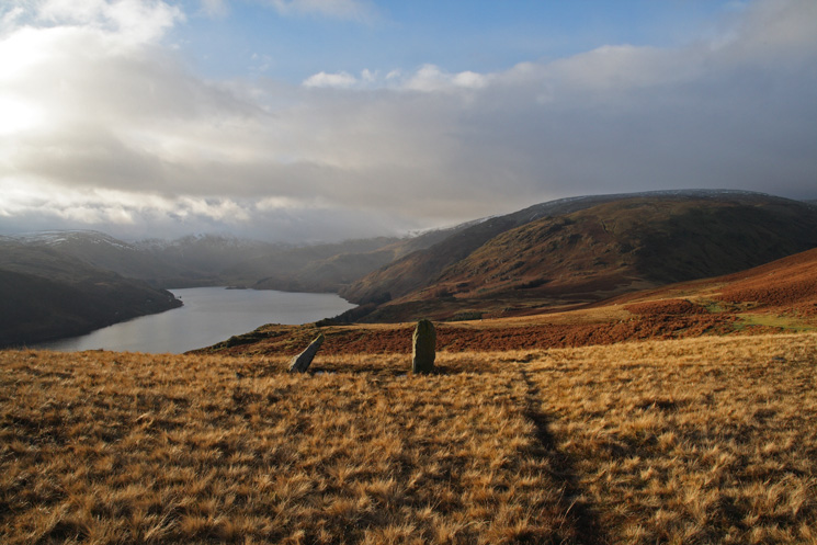
Haweswater and Measand End from the standing stones below Four Stones Hill
Four Stones Hill from our climb up Bampton Fell
The view north from the summit of Bampton Fell (not named on the OS map)
Low Kop, our next objective, from Bampton Fell
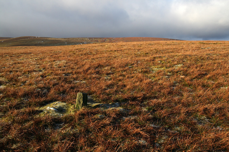
The old boundary stone near the summit of Low Kop
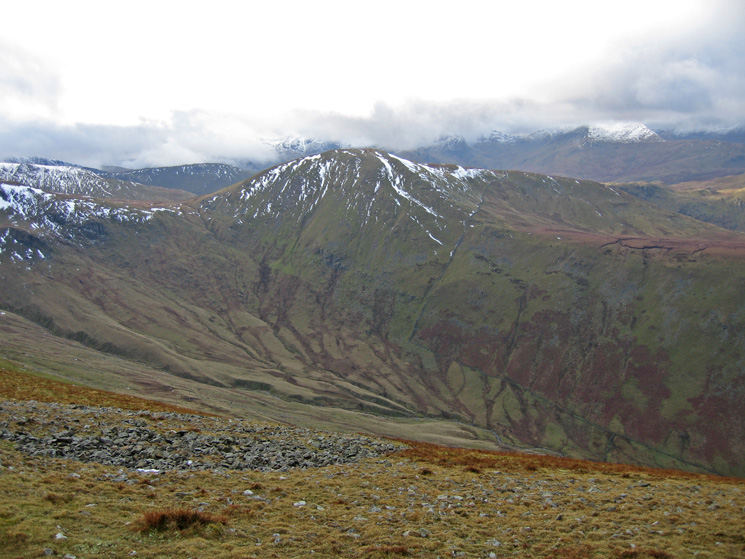
Red Crag at the head of the valley with a snow covered High Raise just visible on the left from Low Kop

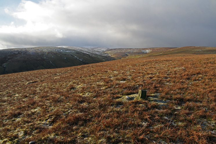
Looking back to Low Kop as we ascend to High Kop
Looking over Steel Knotts and Hallin Fell to Great and Little Mell Fells from the Roman Road near Keasgill Head
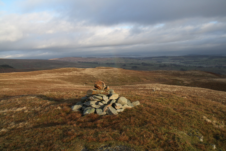
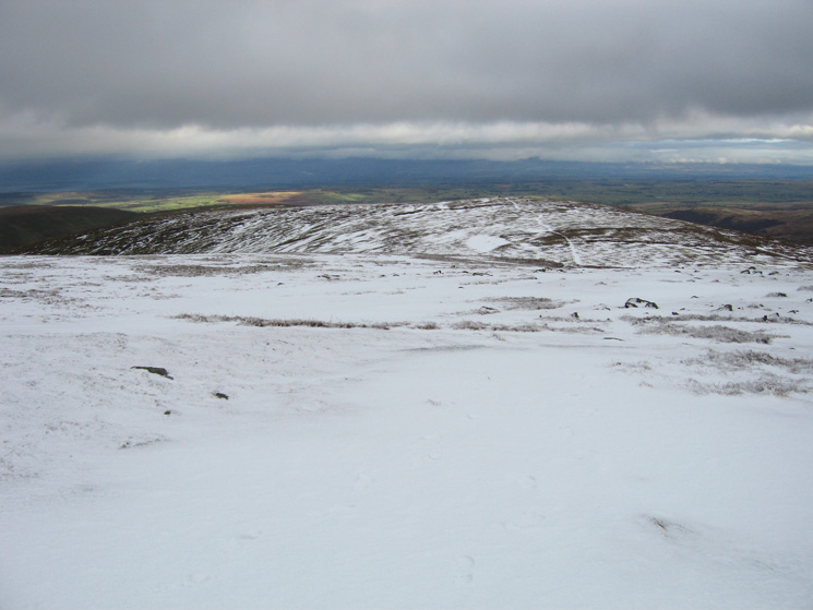
Looking north to Loadpot Hill from Wether Hill's summit cairn

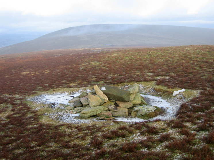
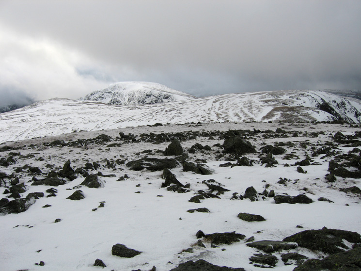
High Raise from the cairn on Red Crag
Looking across to Rest Dodd from Raven Howe

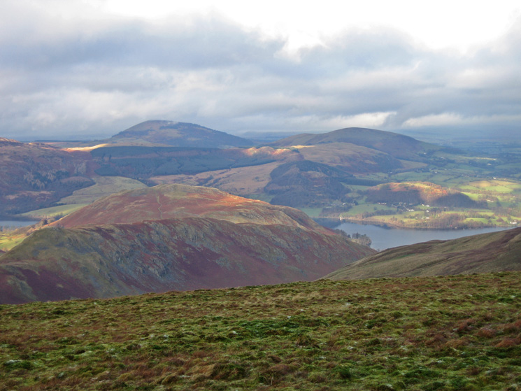
The Nab, Beda Head and Martindale

Looking back north along the line of the Roman Road as we ascend High Raise, Steel Knotts catches some sun on the left
Kidsty Pike, High Street and Rampsgill Head from High Raise's summit
Looking towards Low Raise from High Raise

The large cairn / tumulus on Low Raise

A 'peat mushroom' on Long Grain
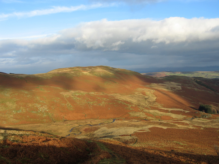
Bampton Fell from Measand End
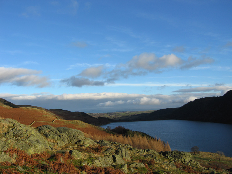
The foot of Haweswater from Measand End
Blue sky over the Eden Valley as we descend to Haweswater's shore

A glimpse of Haweswater's dam
Previous Walk: Eel Tarn, Eskdale (Sun 6 Jan 2008)
Next Walk: 101 (Thu 17 Jan 2008)