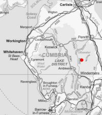
Angletarn Pikes to Gray Crag
Sun 30 Dec 2007
Route: Hartsop - Boredale Hause - Angletarn Pikes - Angle Tarn - Buck Crag - Brock Crags - Satura Crag - The Knott - Straits of Riggindale - High Street - Thornthwaite Crag - Gray Crag - Hartsop
Distance: 11.00 miles
Ascent: 3,100ft
Time: 5 hours 45 minutes
With: David Hall
Notes:
Mild, only light winds, overcast, a bit dull, patches of wet snow on the higher tops
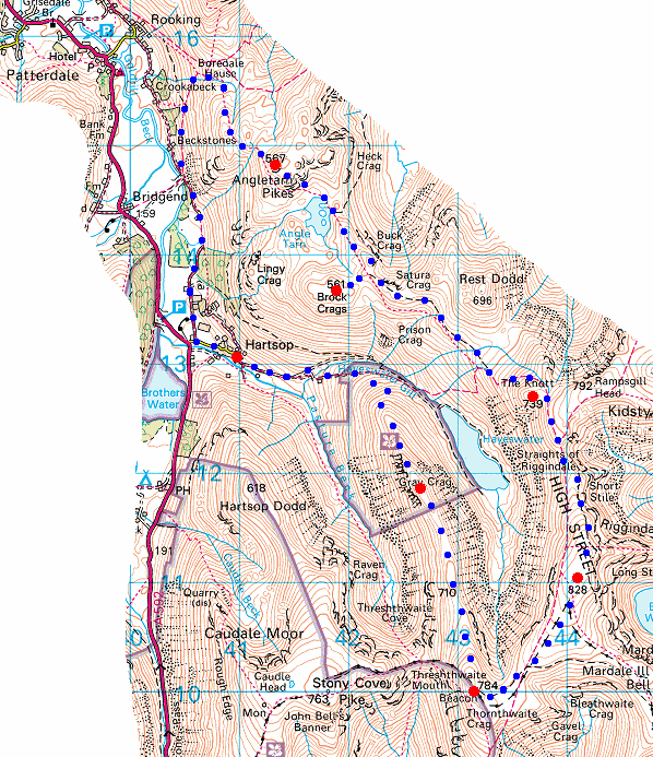
© Crown copyright. All rights reserved. Licence number AL100038401
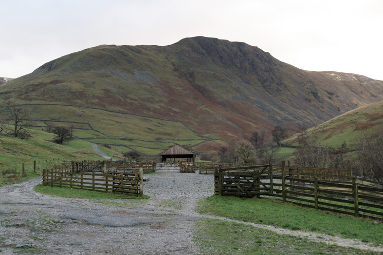
Gray Crag (to be our last summit of the day) from Hartsop
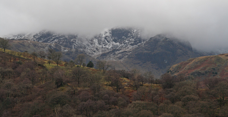
Looking across to Dove Crag
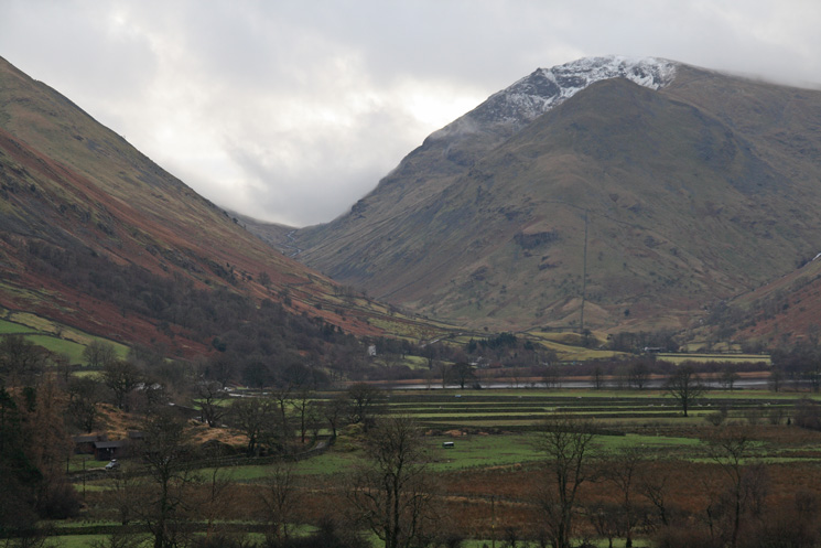
Kirkstone Pass and Middle Dodd with Red Screes behind
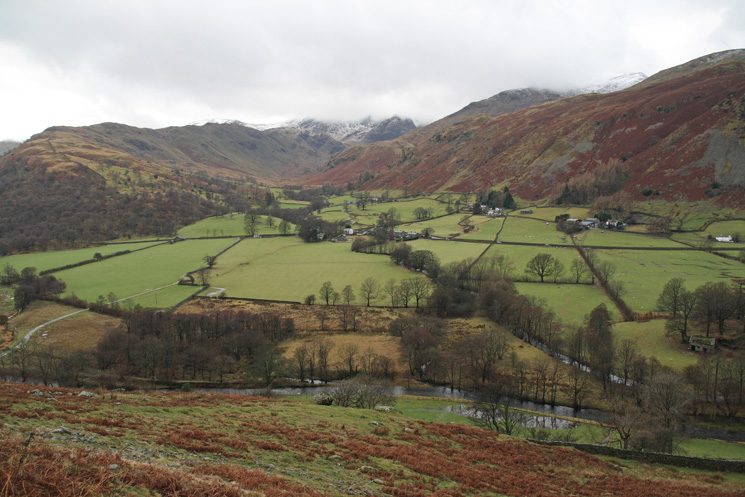
Deepdale
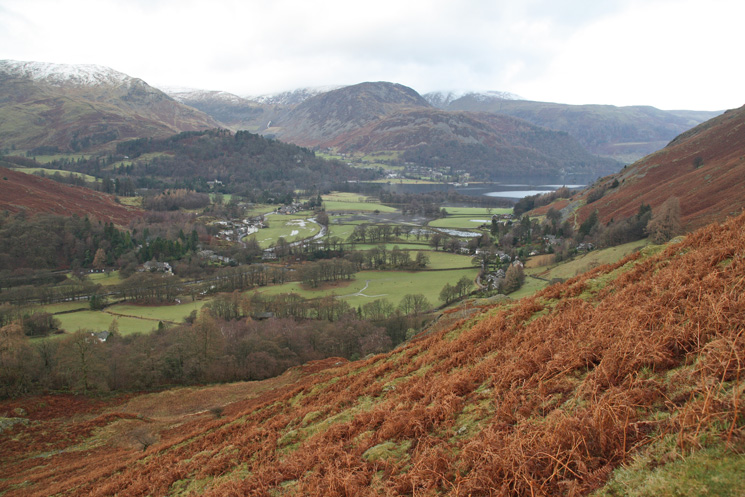
Looking down on Patterdale and the head of Ullswater from the path up to Boredale Hause
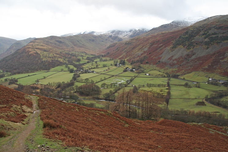
Deepdale from the Boredale Hause path
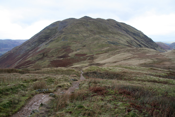
Place Fell from the path to Angletarn Pikes from Boredale Hause
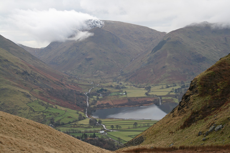
Kirkstone Pass, Middle Dodd with Red Screes behind, Caiston Glen, High Hartsop Dodd and Brothers Water in the valley
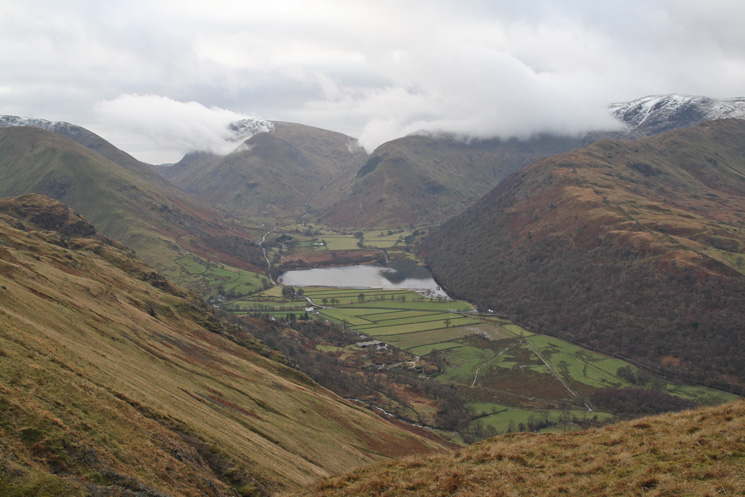
Brothers Water
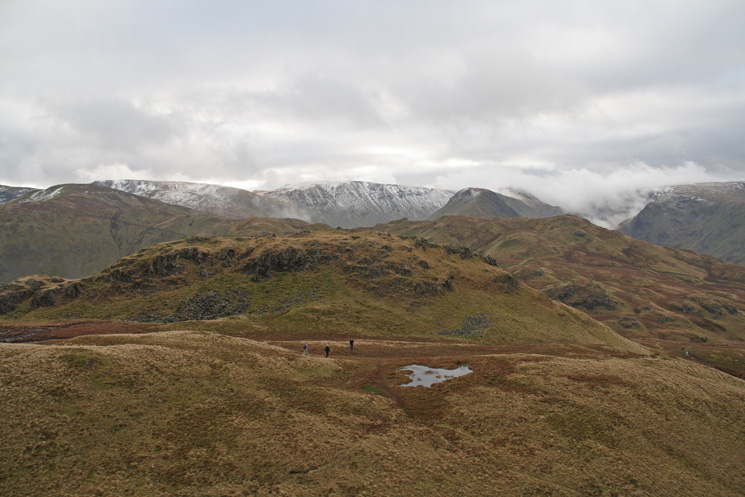
Angletarn Pikes' southern and lower top from the north top
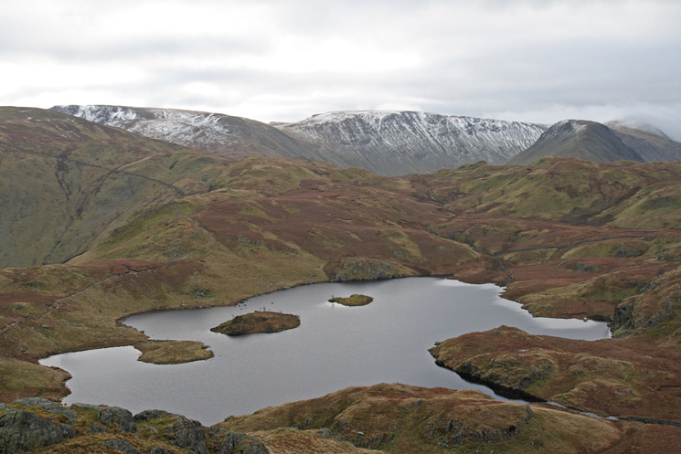
Angle Tarn from Angletarn Pikes' southern top
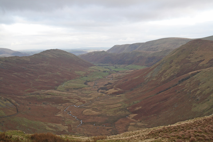
Bannerdale from Buck Crag
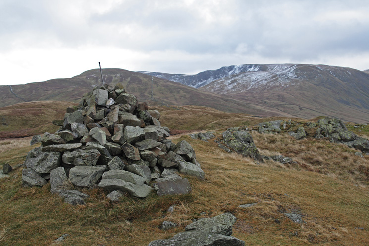
Brock Crags summit
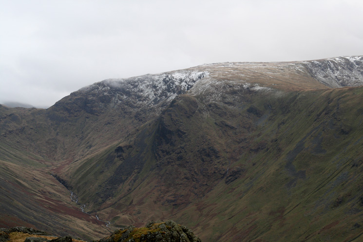
Raven Crag and Stony Cove Pike
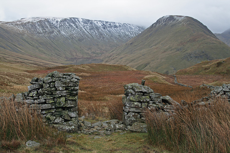
High Street and Gray Crag
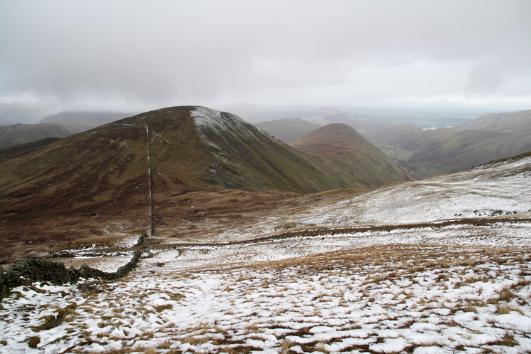
Rest Dodd and The Nab from the ascent of The Knott
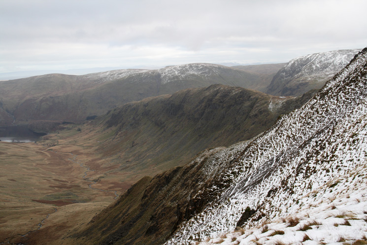
Riggindale and Rough Crag
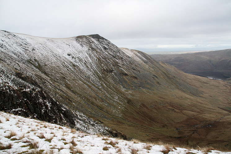
Kidsty Pike
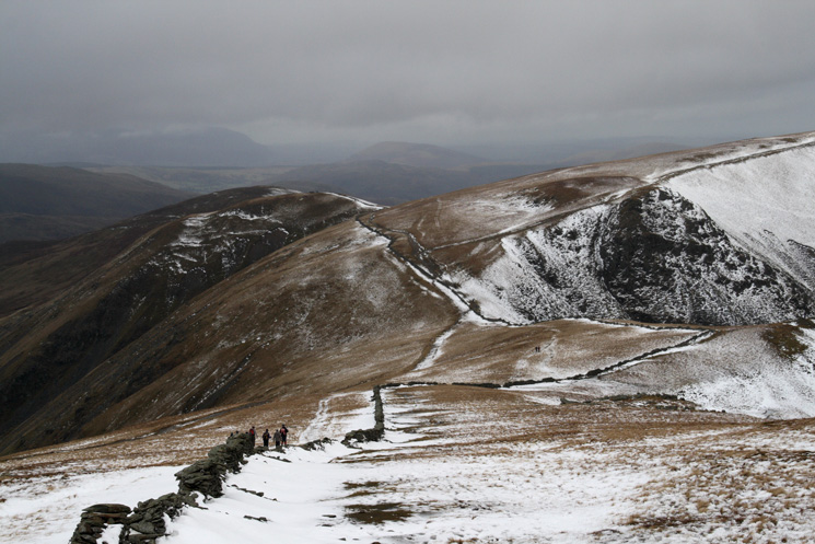
Looking back to the Straits of Riggindale as we ascend High Street
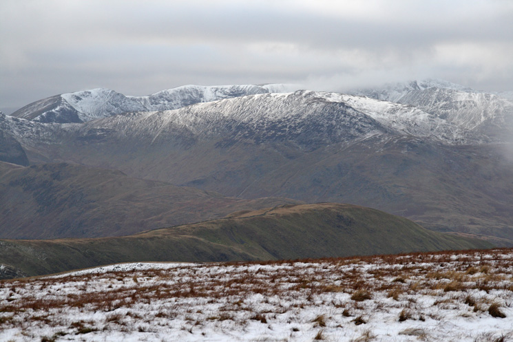
St Sunday Crag with Dollywaggon Pike, Nethermost Pike and Helvellyn (in cloud) behind
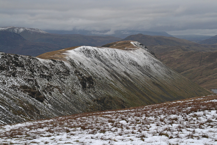
The ridge to Gray Crag
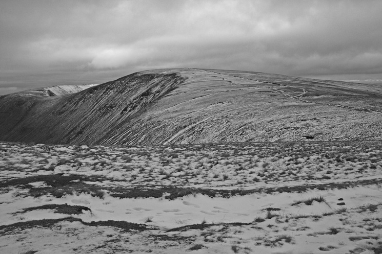
High Street from Thornthwaite Crag
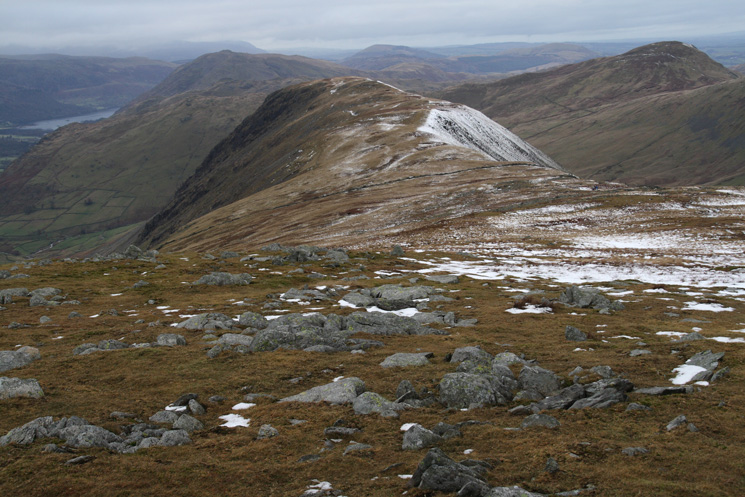
Gray Crag
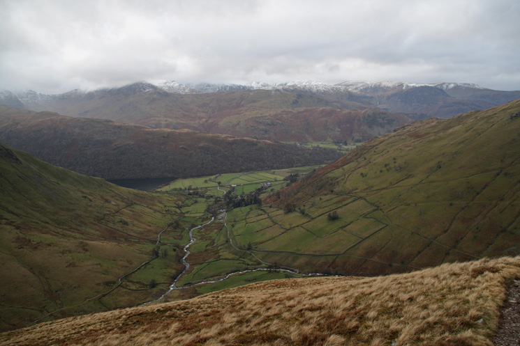
The view west from Gray Crag
Previous Walk: Walla Crag (Fri 28 Dec 2007)
