Carrock Pike and High Pike
Wed 8 Aug 2007
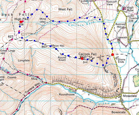
Route: Stone Ends, Mosedale - Further Gill Sike - Carrock Fell - Round Knott - Miton Hill - High Pike - Driggith Mine - Carrock Beck - Carrock Beck Ford - road - Stone Ends
Distance: 6.00 miles
Ascent: 1,750ft
Time: 2 hours 45 minutes
With: Anne
Notes:
Sunny Summer's evening walk, scattered clouds.
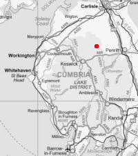
© Crown copyright. All rights reserved. Licence number AL100038401
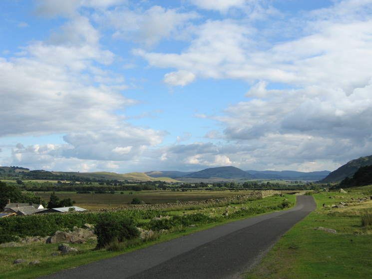
Looking towards Great Mell Fell from the road at Stone Ends
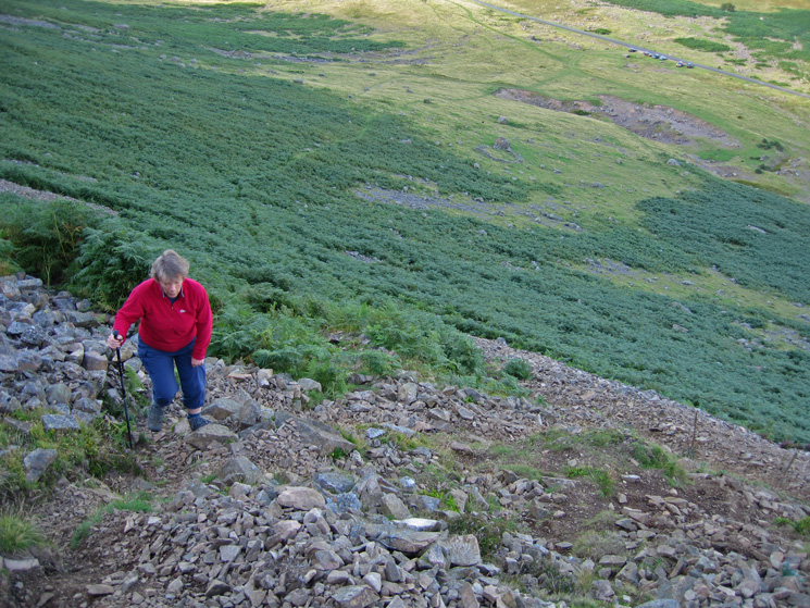
Heading up the path that rises across the fellside to join Further Gill Sike, the road (and cars) are already a long way below
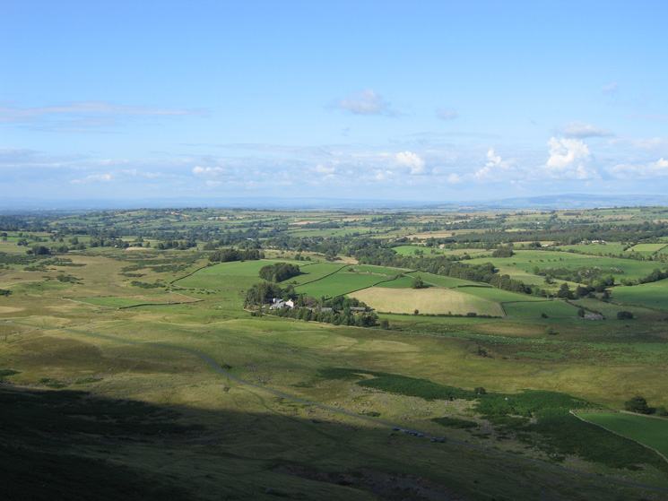
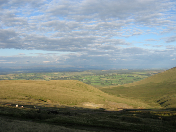
Linewath Farm and the view to the north east from the ascent of Carrock Fell
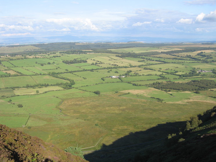
The view east to the North Pennines from the top of Further Gill Sike
Great Mell Fell, Gowbarrow Fell (in shadow) with the High Street Fells beyond from Carrock Fell
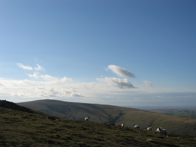
Bowscale Fell's east ridge with the far eastern fells beyond from our ascent of Carrock Fell
High Pike from just below Carrock Fell's summit
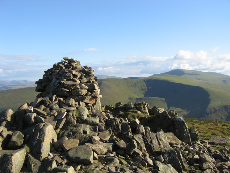
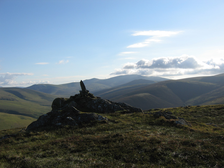
Carrock Fell's summit cairn with Blencathra behind Bowscale Fell
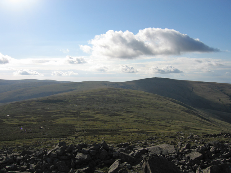
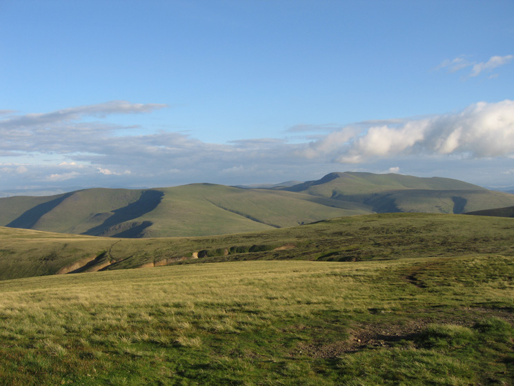
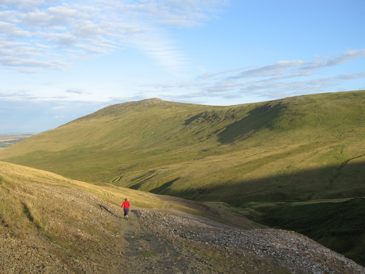
The ridge to High Pike (in shadow right) from Carrock Fell
Looking back to Carrock Fell
Looking towards Skiddaw from Round Knott
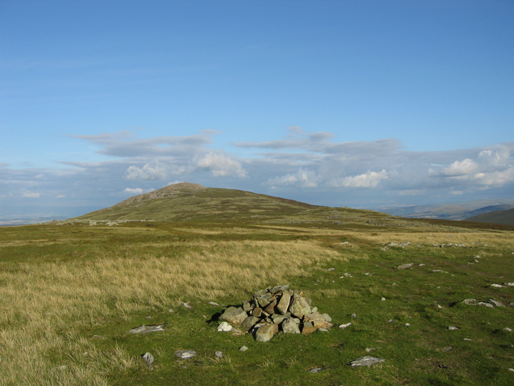
Carrock Fell from the summit of Miton Hill
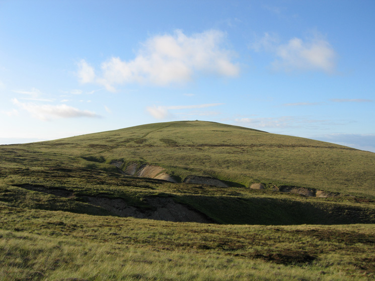
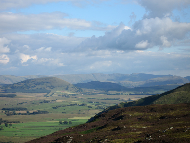
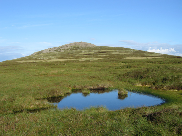
High Pike seen across the head of Drygill
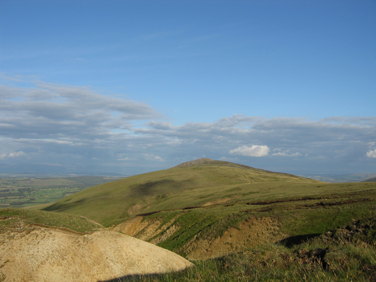
Looking back to Carrock Fell from the top of Drygill
Bowscale Fell and Blencathra from High Pike's summit
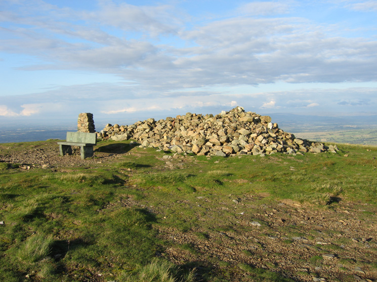
High Pike summit
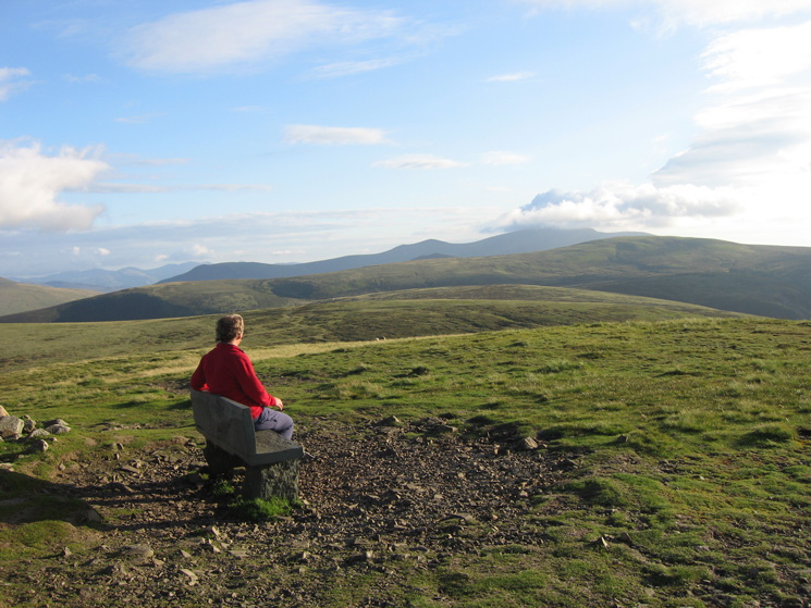
Enjoying the view, Skiddaw from High Pike's summit
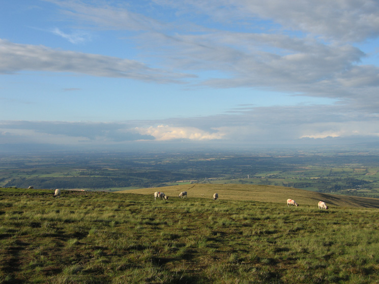
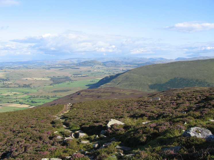
The view north from High Pike's summit
Sunny Bank in sunshine!
Carrock Fell from the Driggeth Mine
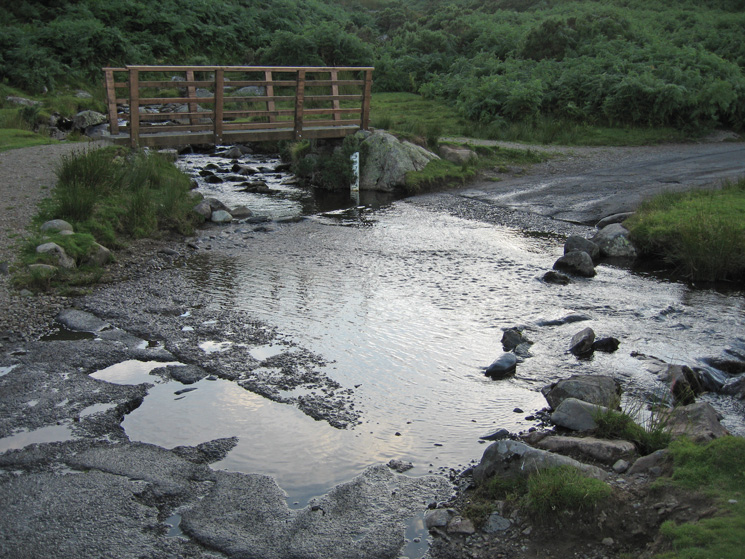
Carrock Beck Ford, a lot less water than when we were last here at the end of December 2006
Previous Walk: Four Stones Hill and Haweswater (Sun 29 Jul 2007)
Next Walk: Dale Head from Honister (Fri 10 Aug 2007)