Four Stones Hill and Haweswater
Sun 29 Jul 2007
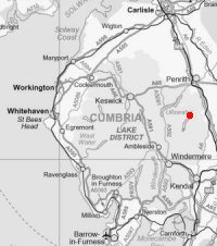
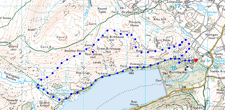
Route: Burnbanks - Four Stones Hill - standing stones - Measand Beck - Haweswater shore path - Burnbanks
Distance: 4.50 miles
Ascent: 700ft
Time: 1 hour 45 minutes
With: On Own
Notes:
Sunshine and scattered clouds, a strong breeze on the top. Caught by a heavy rain shower 300m from the car at the end of the walk!
© Crown copyright. All rights reserved. Licence number AL100038401
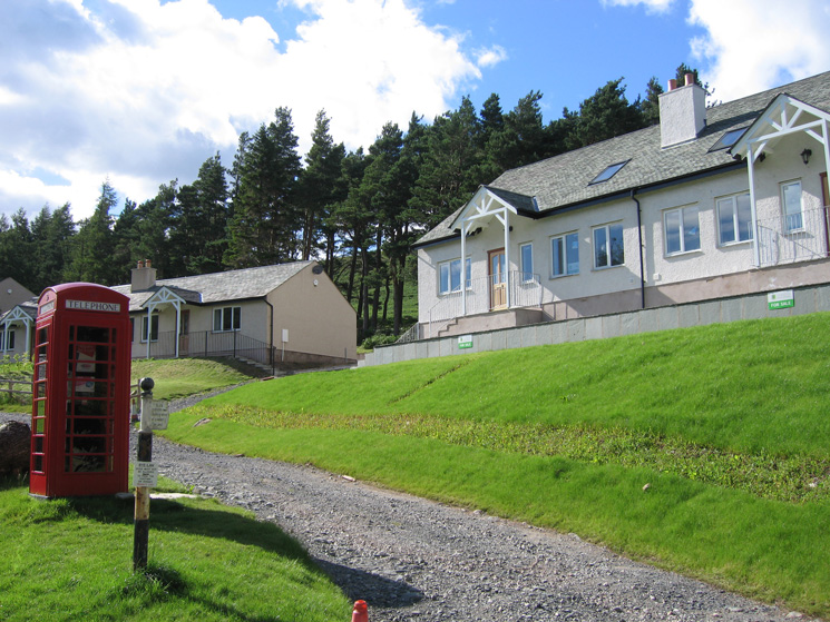
Burnbanks, the old prefabs have now all gone and the new houses have been built and are up for sale
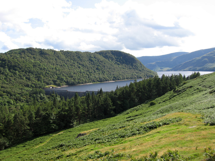
Haweswater Dam from above Burnbanks
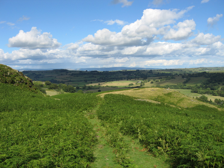
Looking east towards the North Pennines from above Burnbanks
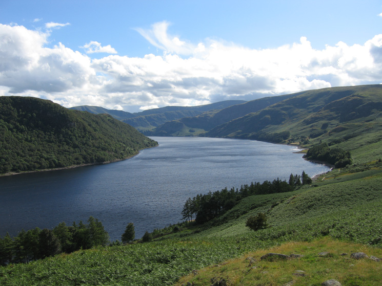
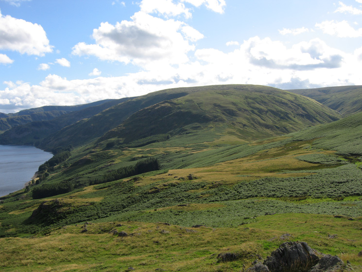
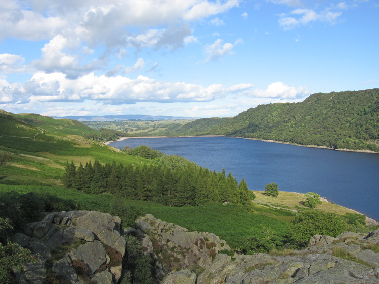
Haweswater
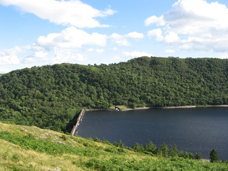
Haweswater Dam with the water level well below the top
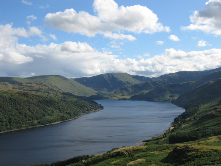
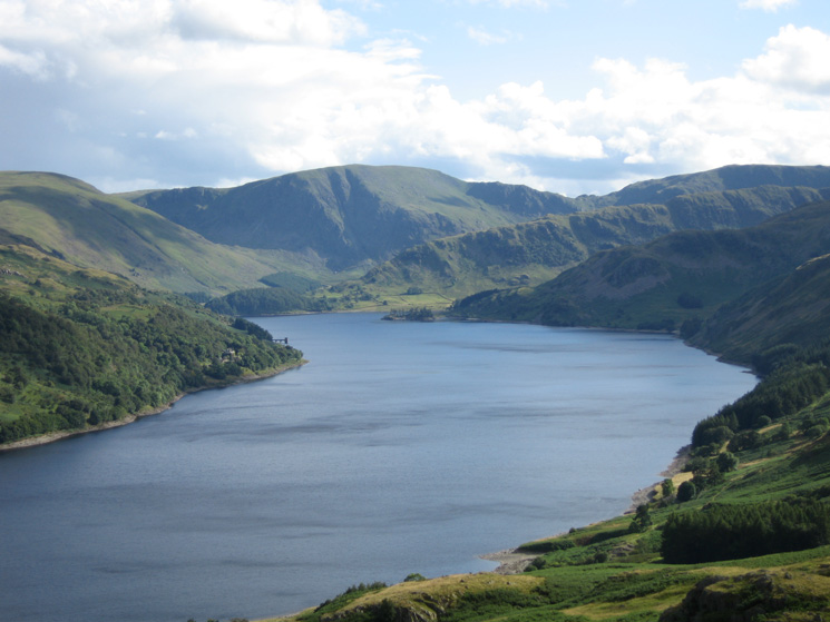
Looking up Haweswater towards Mardale Head
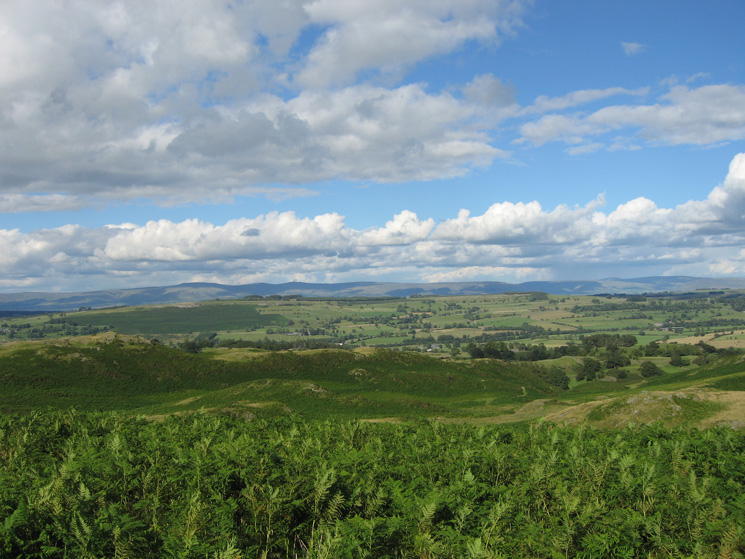
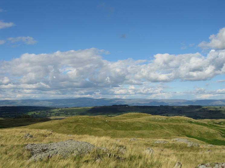
View east over Knipescar Common to the North Pennines
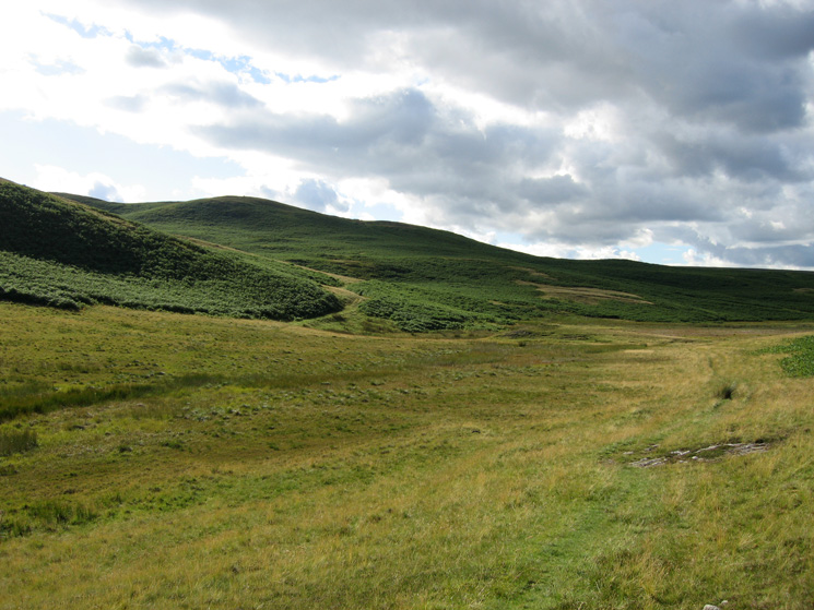
The valley between Little Birkhouse Hill and Pinnacle Howe
Haweswater from the summit of Four Stones Hill
Zooming in on Harter Fell and the Rough Crag ridge at the head of Haweswater from the summit of Four Stones Hill
Long Grain leading onto Low Raise
The North Pennines from Four Stones Hill summit
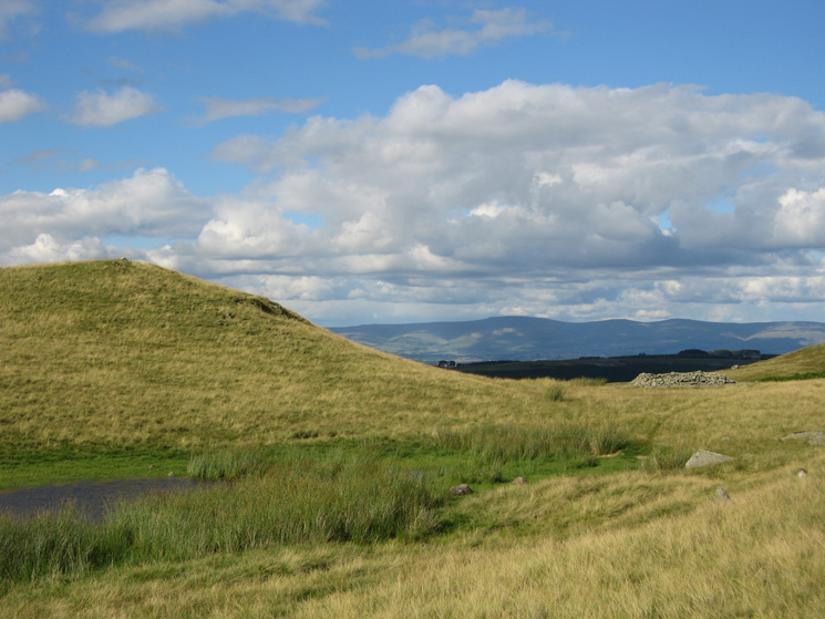
The small tarn and the prehistoric round cairn next to Four Stones Hill
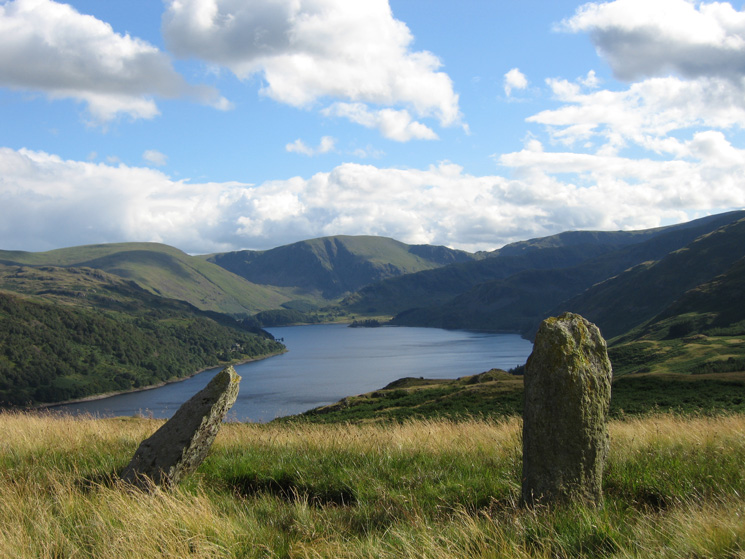
Haweswater from the two standing stones
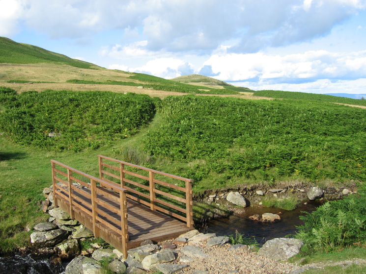
Looking back to Four Stones Hill from the footbridge across Measand Beck
Looking towards Haweswater Dam from the path next to Measand Beck
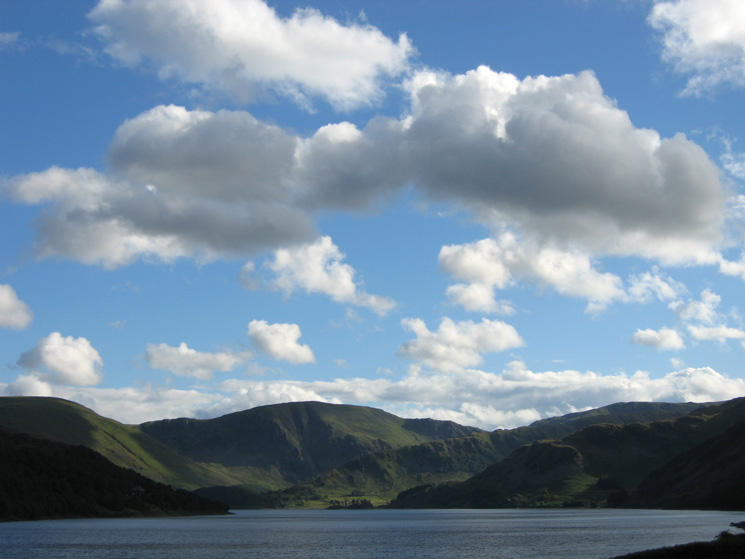
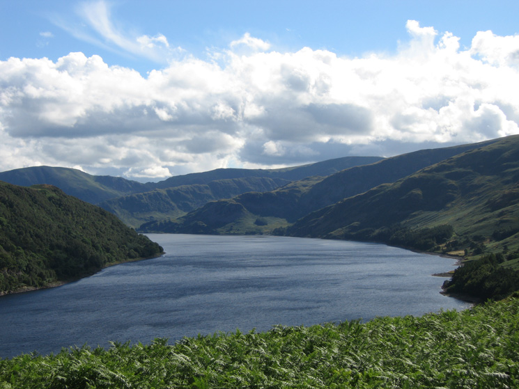
Looking up Haweswater to Harter Fell
Previous Walk: Keswick to Newlands Hause (Sat 28 Jul 2007)
Next Walk: Carrock Pike and High Pike (Wed 8 Aug 2007)