Selside Pike and Branstree
Sat 14 Jul 2007
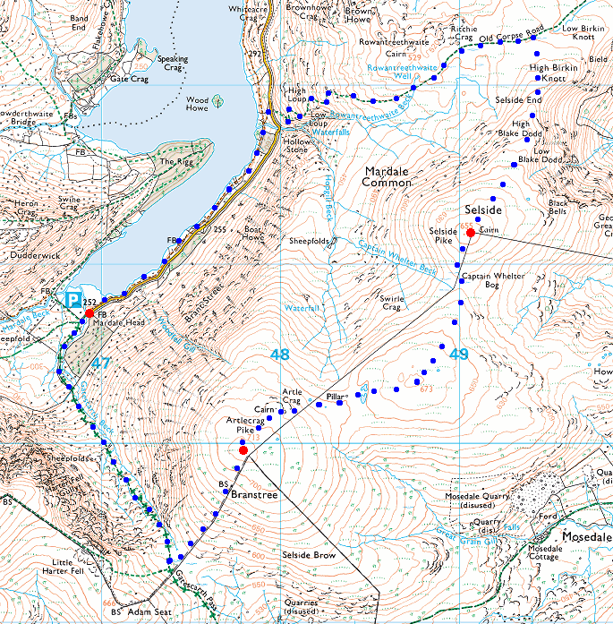
Route: Mardale Head - Haweswater lakeside path - Old Corpse Road - Selside Pike - High Howes - Branstree Tarn - Branstree - Gatescarth Pass - Mardale Head
Distance: 5.50 miles
Ascent: 1,800ft
Time: 2 hours 55 minutes
With: On Own
Notes:
Wet - rain and drizzle for nearly all the walk. Windy at times on the tops. Cloud base around the top of Kidsty Pike (2,500ft)
© Crown copyright. All rights reserved. Licence number AL100038401
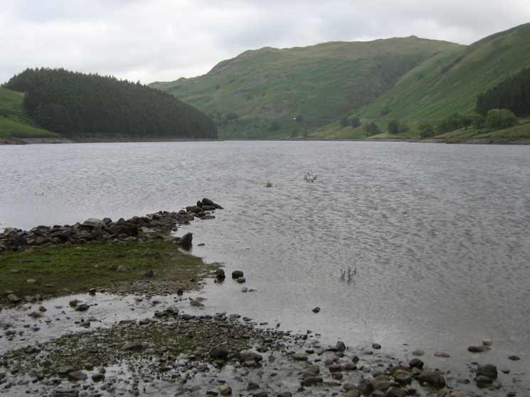
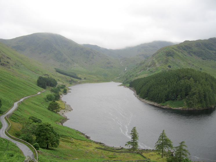
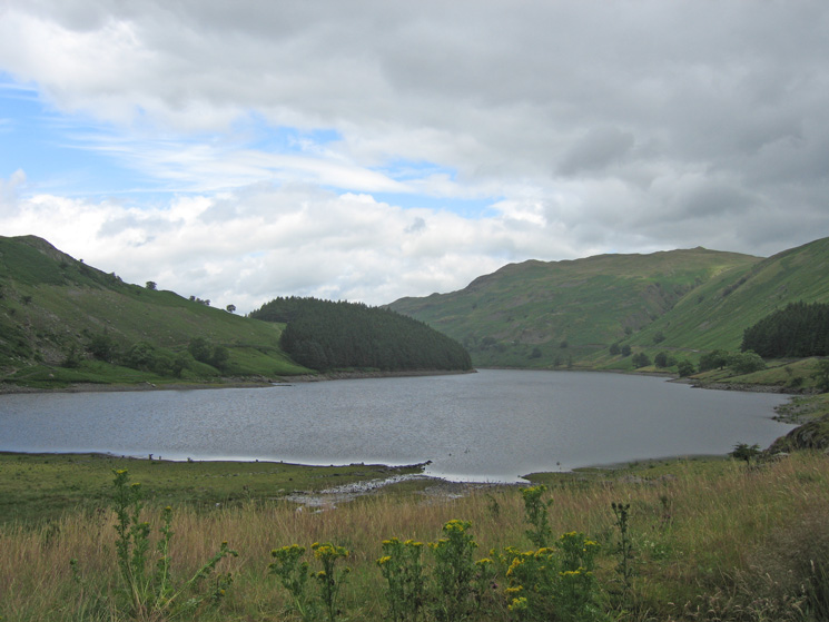
Looking down Haweswater from Mardale Head
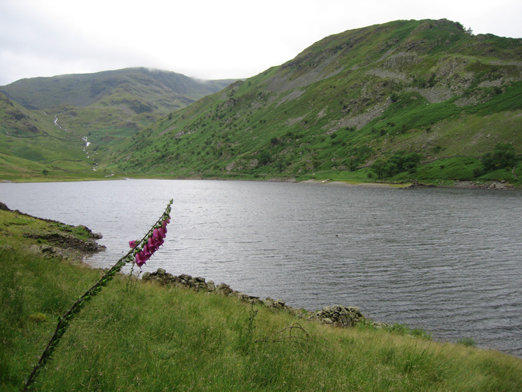
Mardale Ill Bell and the ridge to Rough Crag seen from the Haweswater lakeside path
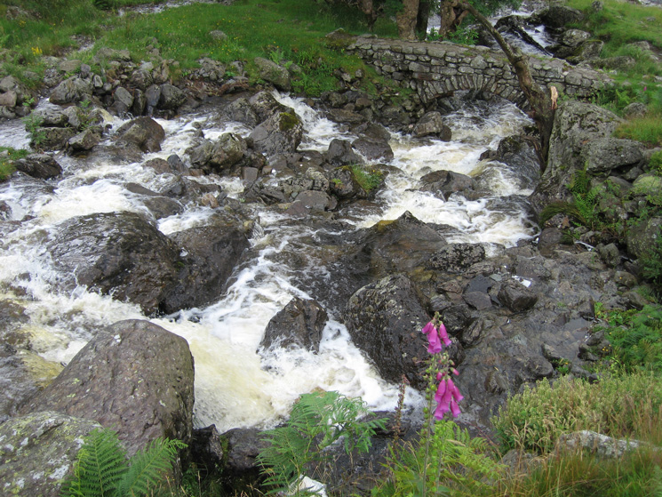
The footbridge across Rowantreethwaite Beck
Mardale Head from the Old Corpse Road
Riggindale from the Old Corpse Road
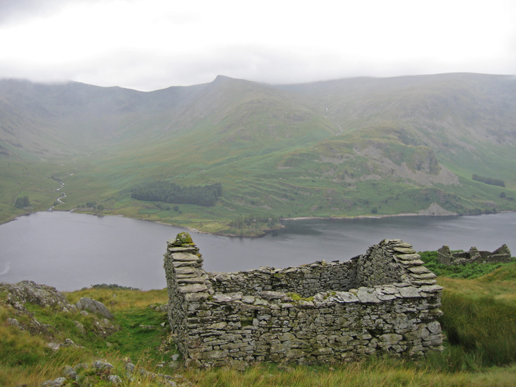
Kidsty Pike from the ruins next to the Old Corpse Road
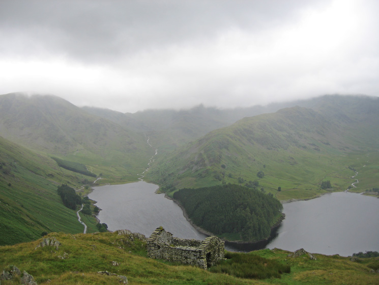
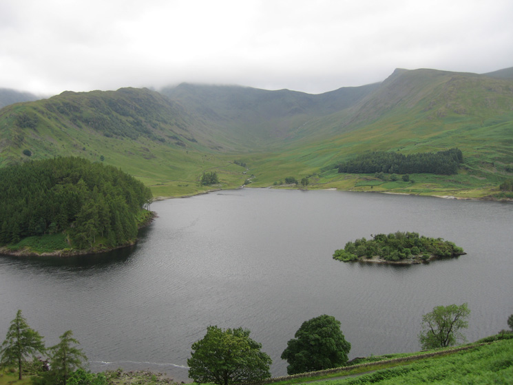
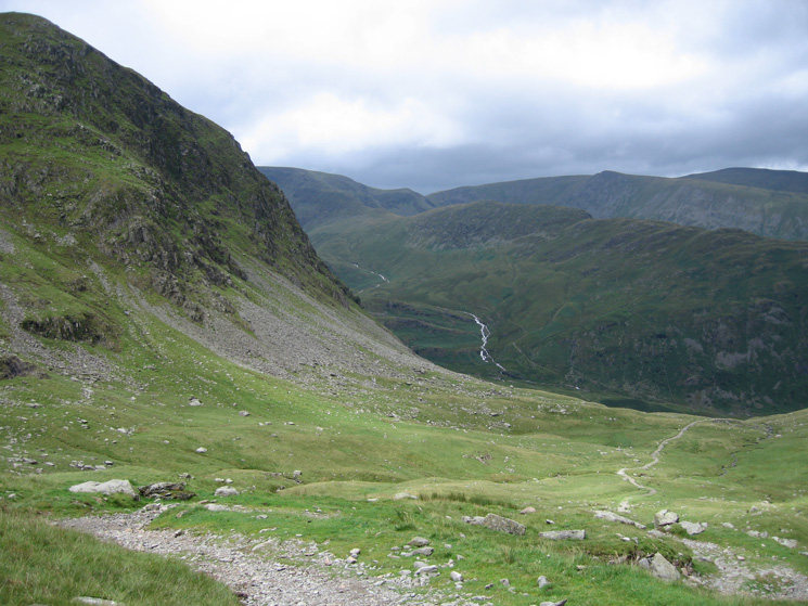
Mardale Head, The Rigg and Rough Crag from the Old Corpse Road
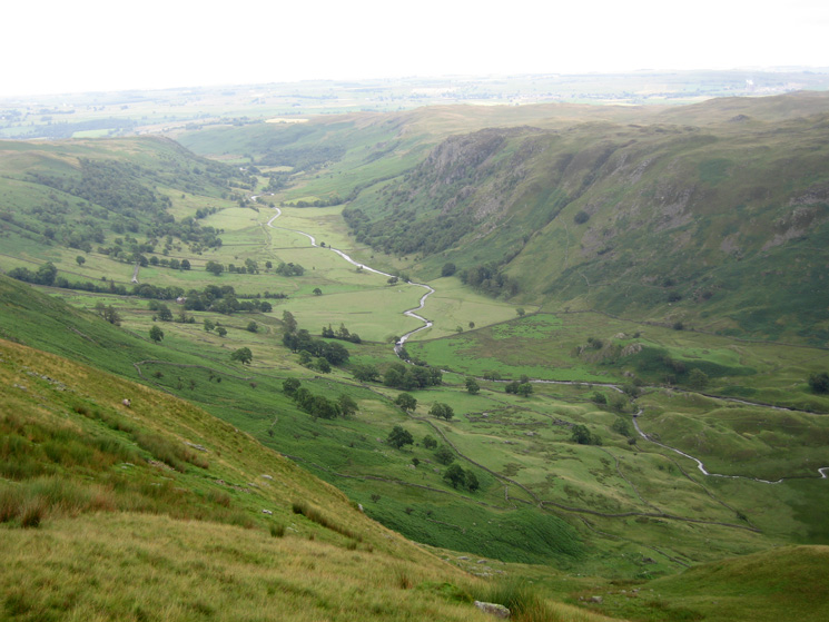
Looking down into Swindale from near High Blake Dodd
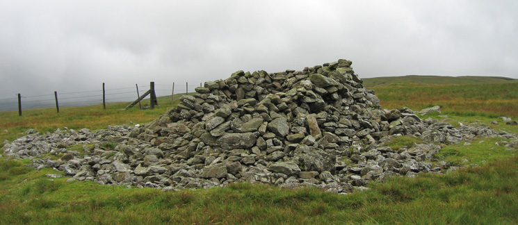
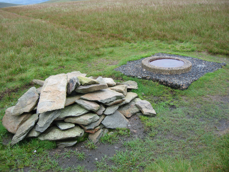
Selside Pike's summit shelter/cairn
High Howes (not named on the OS map but listed as a top by Bill Birkett and called Branstree North East Top by the Nuttalls) from Selside Pike
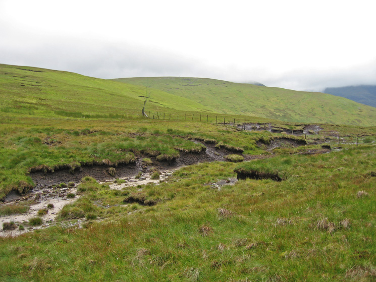
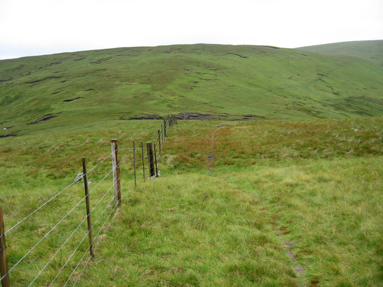
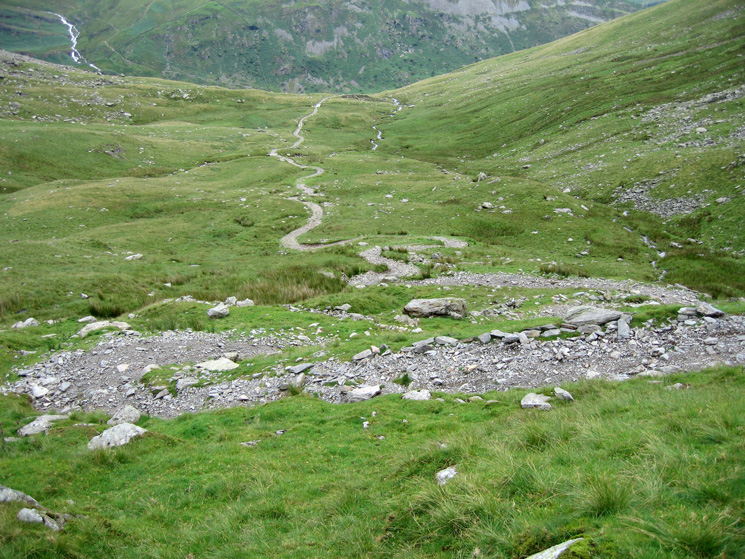
Captain Whelter Bog and the fence to Branstree
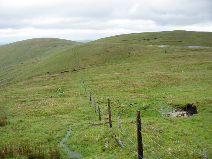
Looking back to Selside Pike (left) and High Howes (behind the tarns and survey post on the right)
Branstree summit
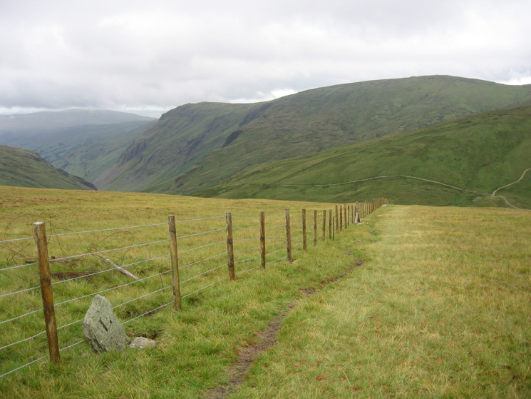
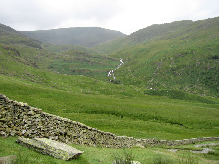
The fence down to Gatescarth Pass from Branstree's summit, Longsleddale, Goat Scar and Kentmere Pike
Harter Fell on the left with Kidsty Pike behind Rough Crag (centre right) from the Gatescarth Pass to Mardale Head track
The track down to Mardale Head from Gatescarth Pass
High Street and Rough Crag with lots of water in Blea Water Beck
Haweswater from the car park at Mardale Head
Previous Walk: Walla Crag (Sun 1 Jul 2007)
Next Walk: Honister Crag Via Ferrata (Sun 15 Jul 2007)