Windermere to Patterdale
Sat 14 Apr 2007
Route: Windermere Railway Station - Orrest Head - Dubbs Reservoir - Dubbs Road - Garburn Road - Garburn Pass - Yoke - Ill Bell - Froswick - Thornthwaite Crag - High Street - Straits of Riggindale - The Knott - Satura Crag - Angle Tarn - Angletarn Pikes - Boredale Hause - Patterdale
Distance: 15.00 miles
Ascent: 3,850ft
Time: 7 hours
With: Anne
Notes:
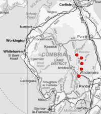
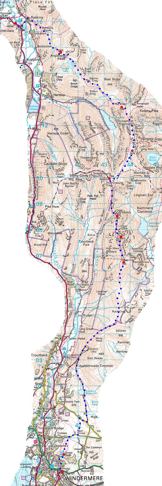
© Crown copyright. All rights reserved. Licence number AL100038401
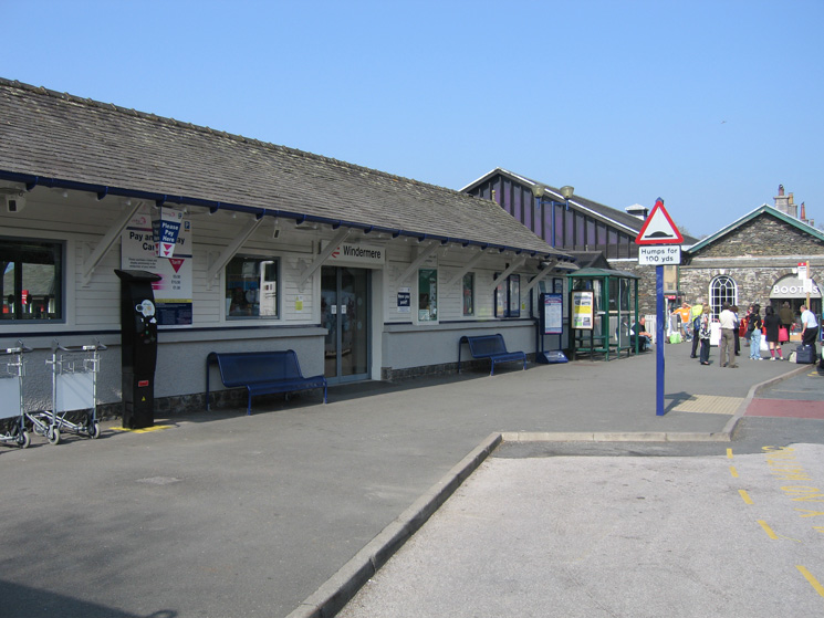
Outside Windermere Railway Station
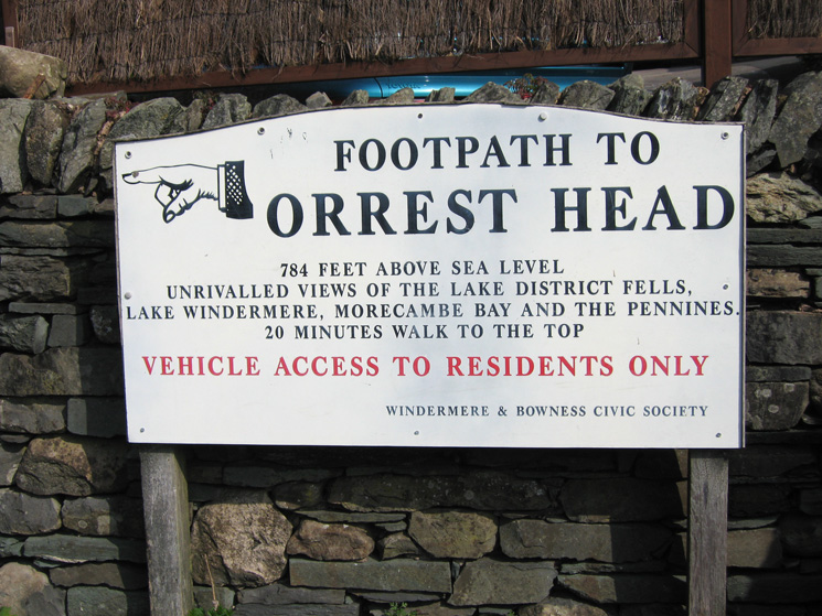
Orrest Head signpost
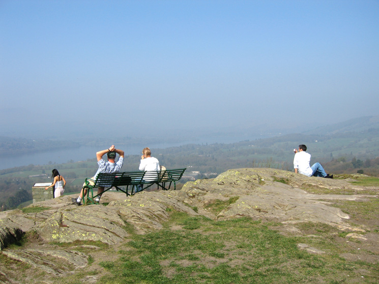
Orrest Head summit, hazy views today
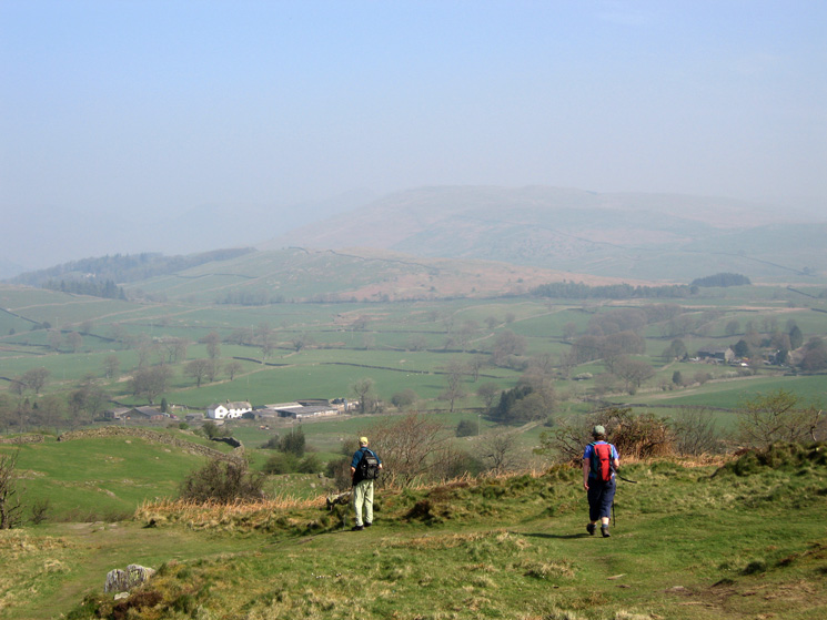
Leaving Orrest Head for The Causeway Farm
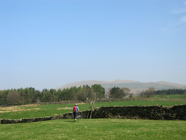
Crossing the fields between Near Orrest and the Moorhowe Road
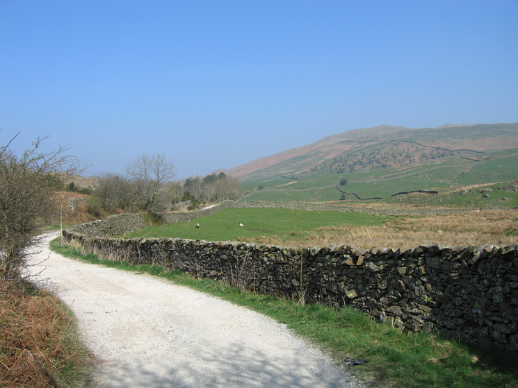
Dubbs Road with Applethwaite Common (Sour Howes) ahead
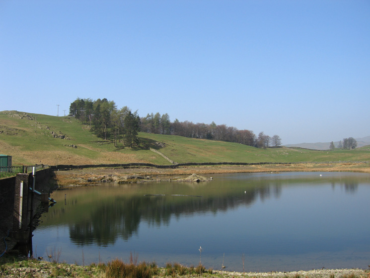
Dubbs Reservoir
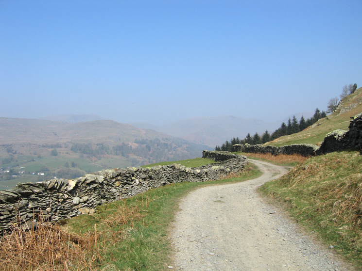
Further along Dubbs Road
Troutbeck valley and Troutbeck Tongue with the Ill Bell ridge on the right from the Garburn Road
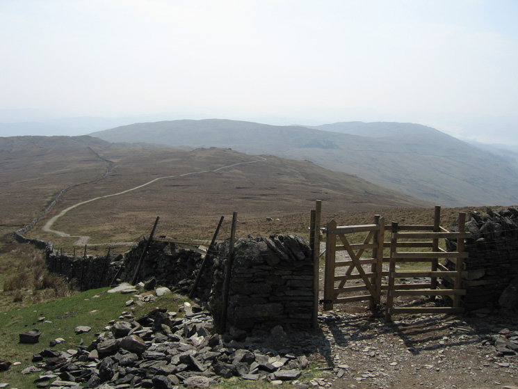
Nearly at the summit of Garburn Pass with Yoke ahead
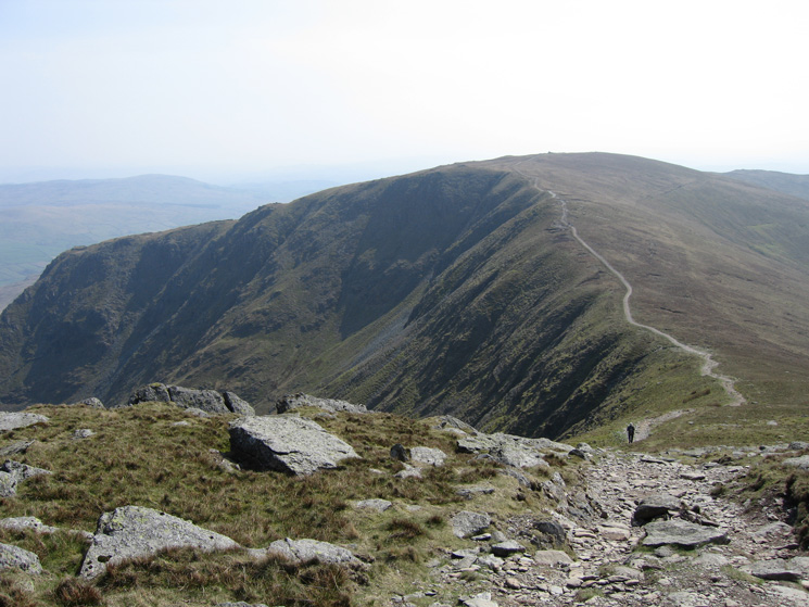
Looking back along our line of ascent as we head for Yoke's summit
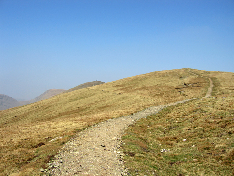
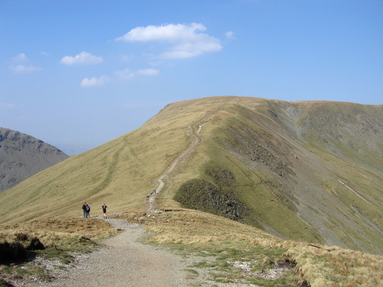
The new path to Yoke's summit
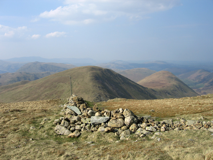
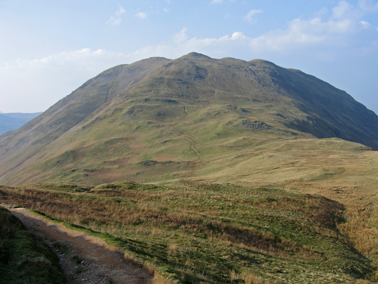
Ill Bell from Yoke's summit
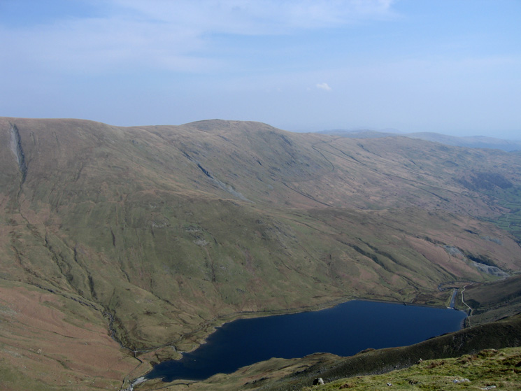
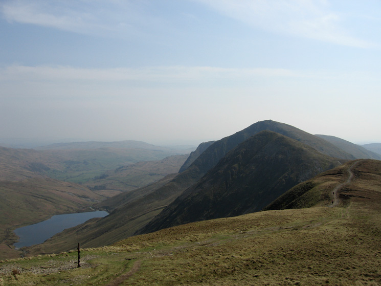
Looking over Kentmere Reservoir to Nan Bield Pass and Harter Fell
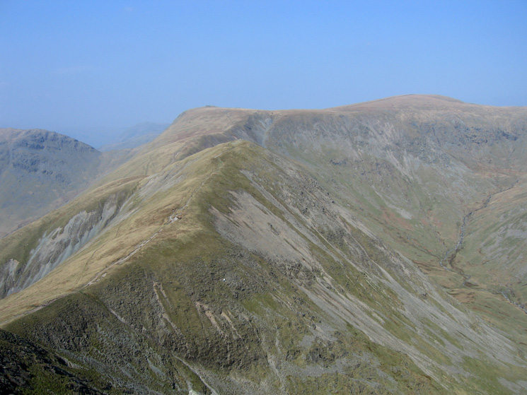
Looking back to Yoke from our ascent of Ill Bell
Froswick with Thornthwaite Crag and High Street behind from Ill Bell's summit
Kentmere Pike seen across Kentmere Reservoir
Thornthwaite Crag from Froswick's summit
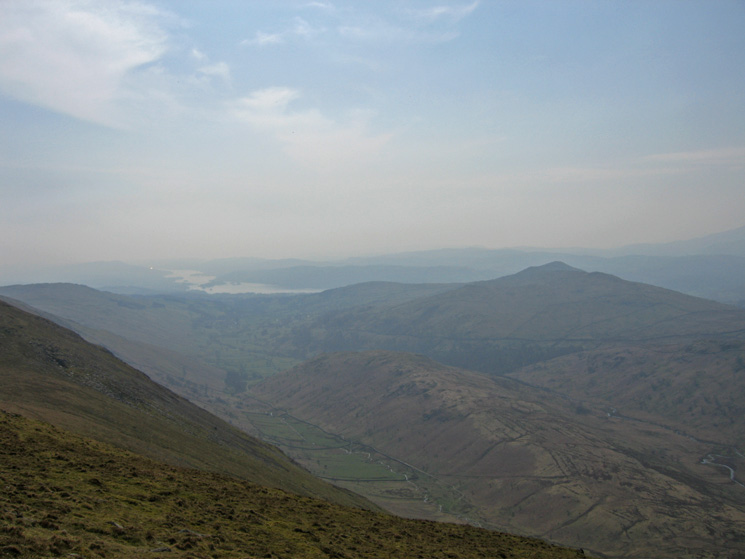
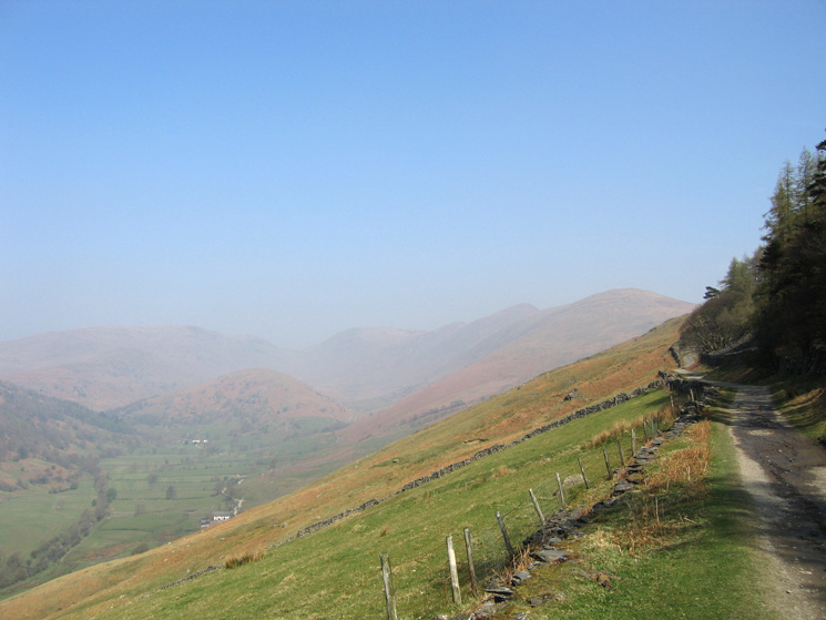
Troutbeck Tougue and Wansfell with Windermere in the distance from Froswick
The new path up Thornthwaite Crag from its col with Froswick
Kentmere Reservoir and the Ill Bell ridge from our ascent of Thornthwaite Crag
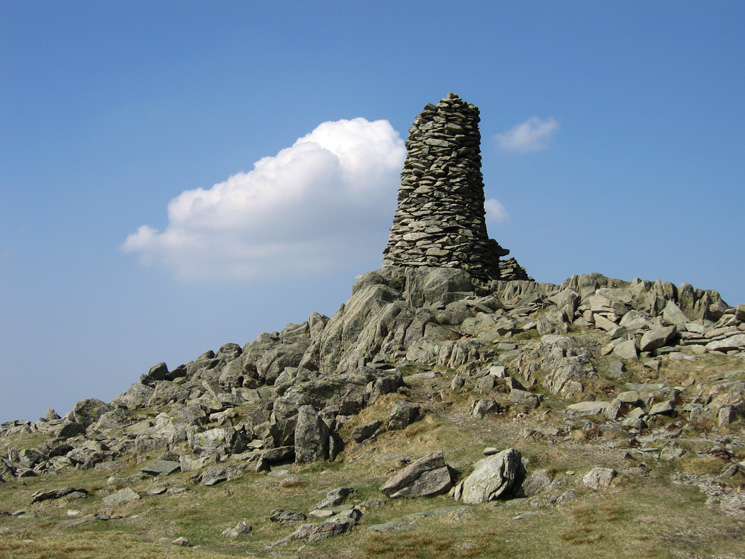
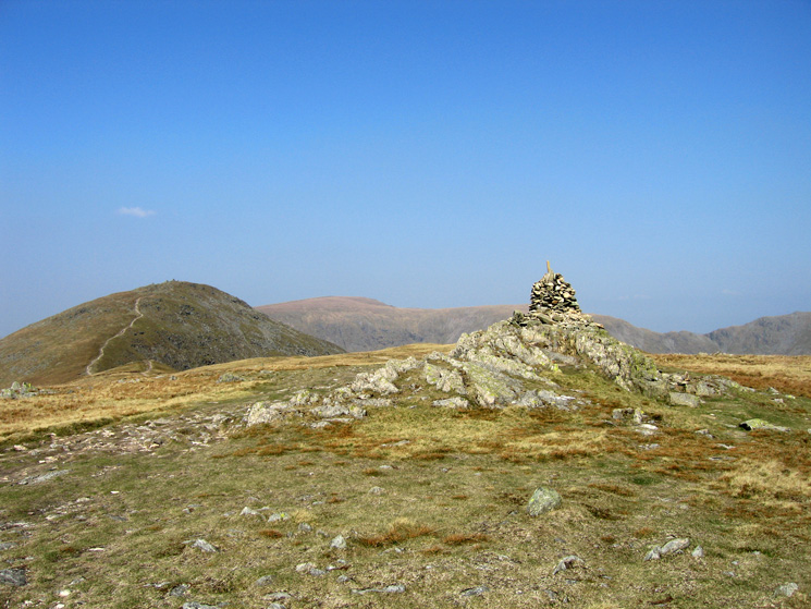
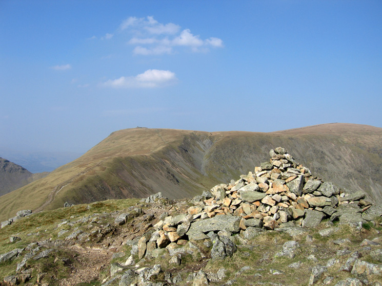
Thornthwaite Beacon
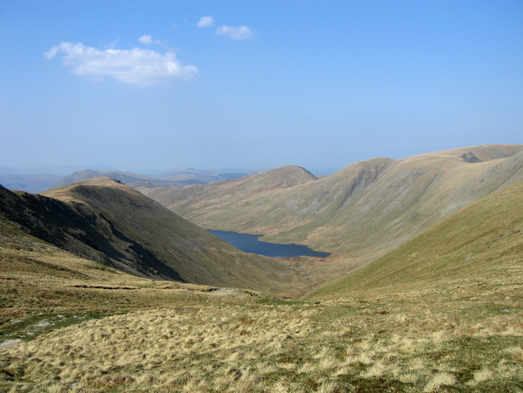
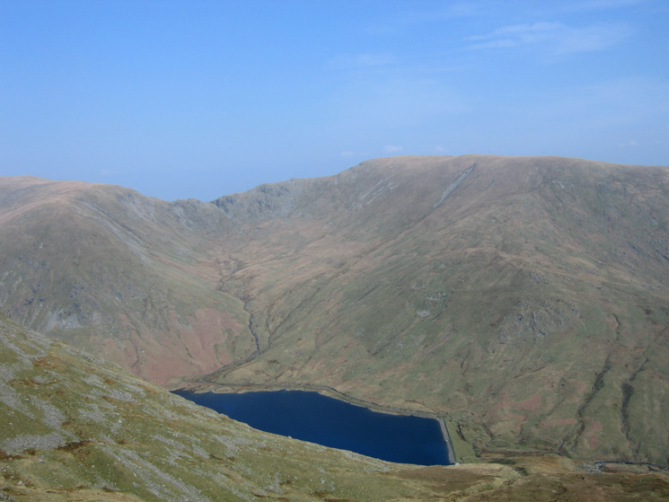
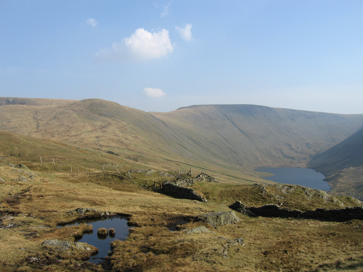
Hayeswater with Gray Crag on the left and Rest Dodd, The Knott, Rampsgill Head and slopes of High Street on the right
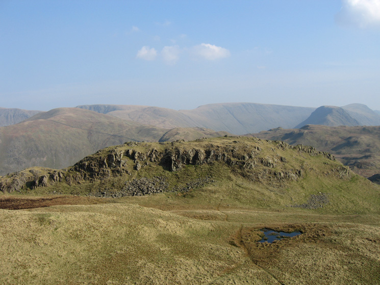
Straits of Riggindale
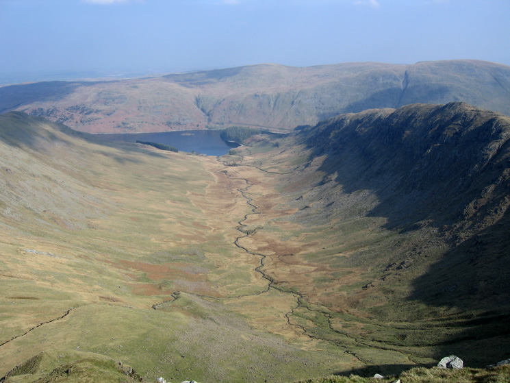
Riggindale leading to Haweswater with Rough Crag on the right from Short Stile
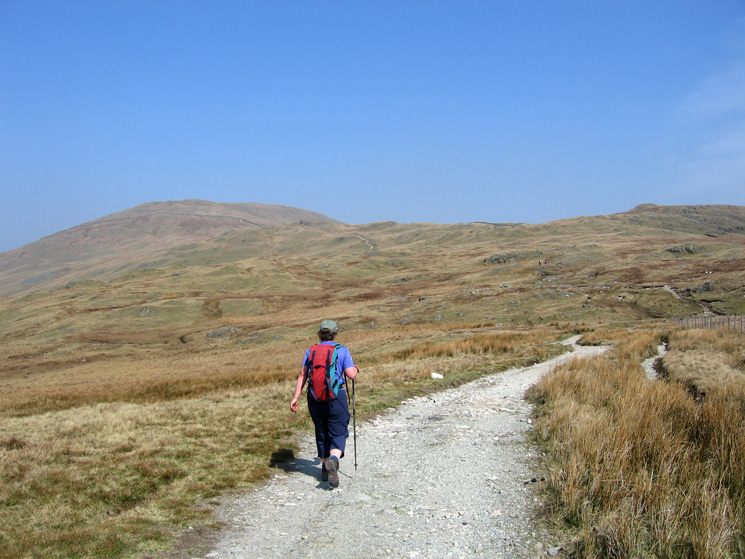
Heading for The Knott
Rest Dodd and The Nab from The Knott's summit
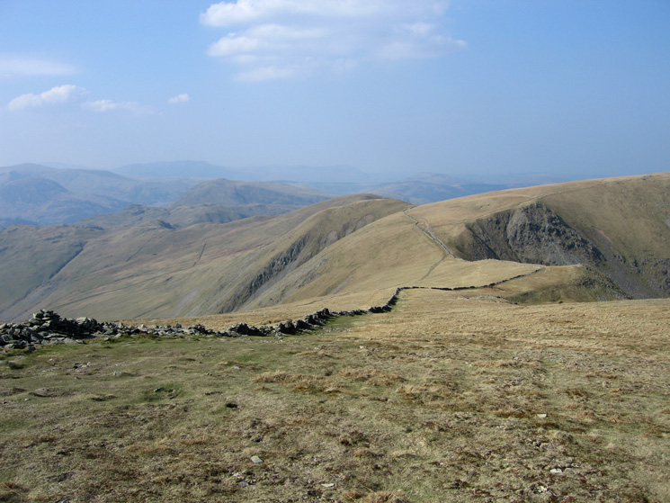
Looking back to The Knott, High Street and Hayeswater from the path to Satura Crag
Bannerdale with Beda Fell on the left and The Nab on the right
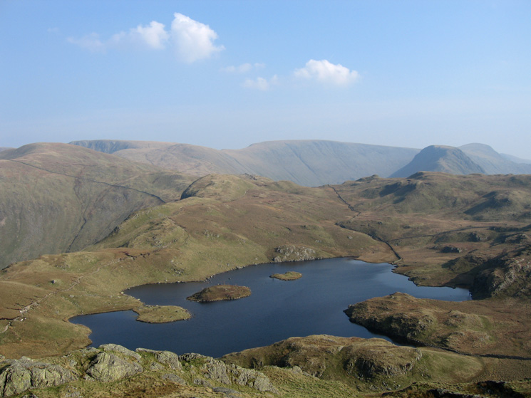
Angle Tarn from the summit of the southern pike of Angletarn Pikes
The southern pike from the northern and higher pike of Angletarn Pikes
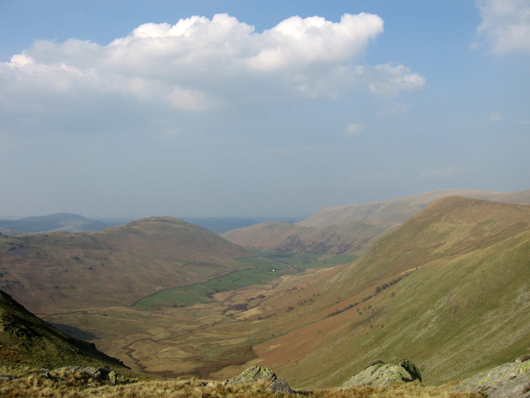
Place Fell fron the path to Boredale Hause
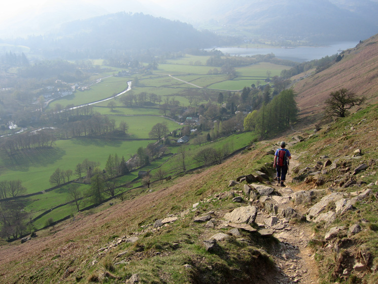
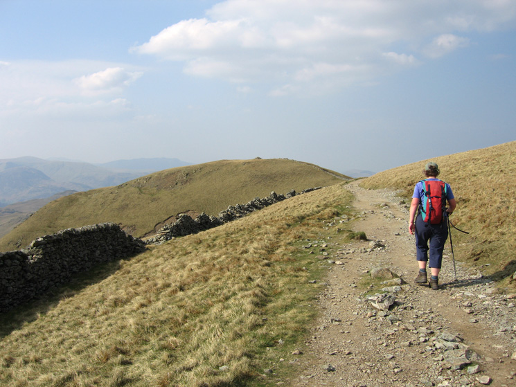
Descending to Patterdale from Boredale Hause, the end is in sight!
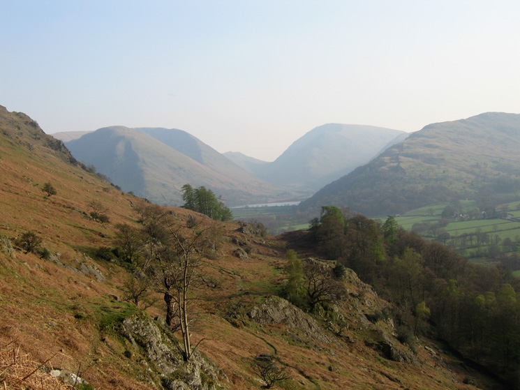
The view to the south - Hartsop Dodd, Caudale Moor, Red Screes and Hartsop Above How surrounding Brothers Water
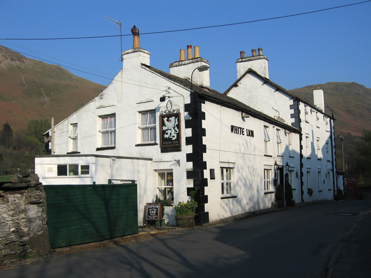
The White Lion, Patterdale
Previous Walk: High Rigg (Thu 12 Apr 2007)