Arnison Crag, Birks and Saint Sunday Crag
Sat 27 Jan 2007
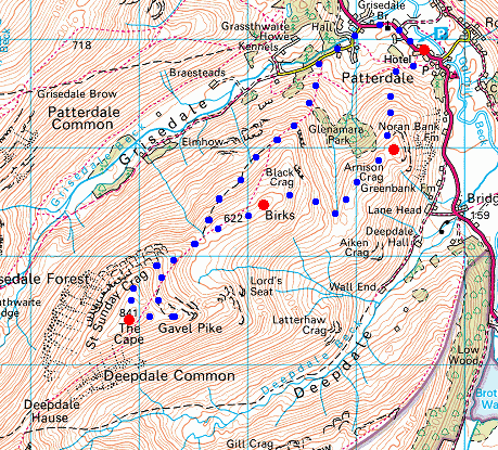
Route: Patterdale - Arnison Crag - Trough Head - Birks - Gavel Pike - Saint Sunday Crag - Thornhow End - Glenamara Park - Patterdale
Distance: 6.00 miles
Ascent: 2,600ft
Time: 3 hours 40 minutes
With: Anne
Notes:
Sunny intervals, strong cold wind at times but generally mild
© Crown copyright. All rights reserved. Licence number AL100038401
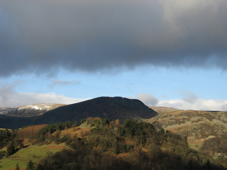
Keldas catches the sun with Sheffield Pike in shadow behind
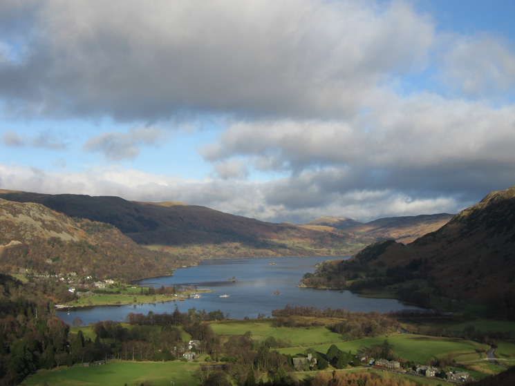
Ullswater from the ascent of Arnison Crag
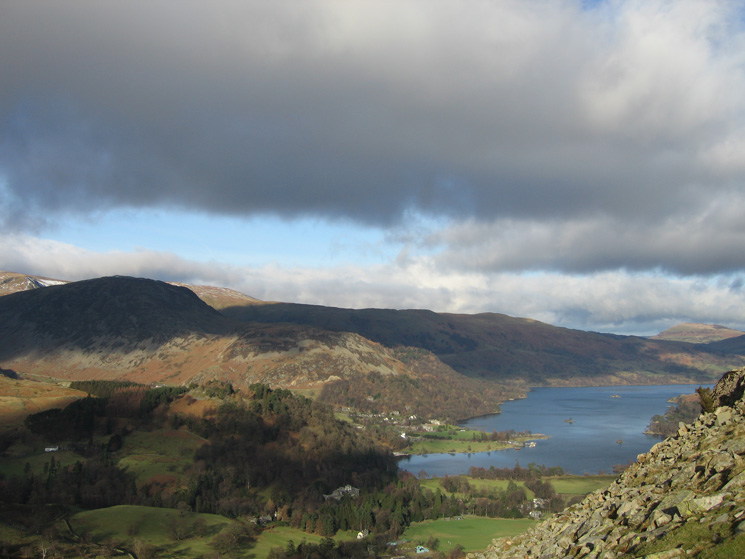
Sheffield Pike and Glenridding Dodd behind Keldas, and Ullswater from the ascent of Arnison Crag
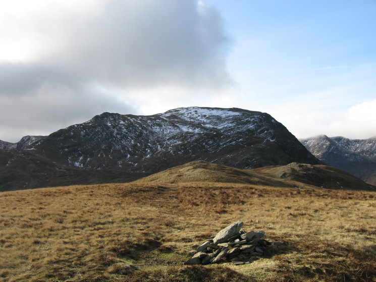
Birks from Arnison Crag's summit with a bit of snow on Saint Sunday Crag behind
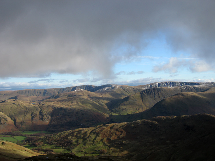
Thornhow End, Birkhouse Moor and Catstycam
Place Fell from Arnison Crag's summit
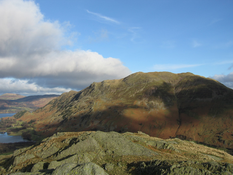
Looking back to Arnison Crag with Place Fell behind
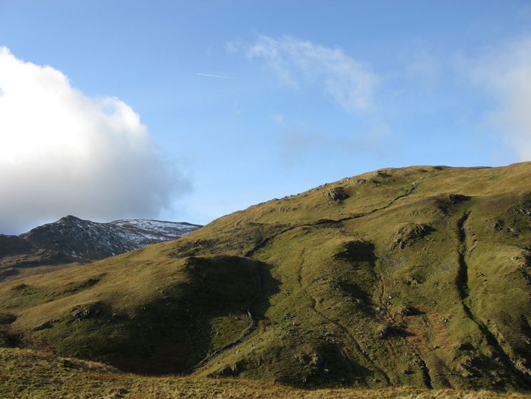
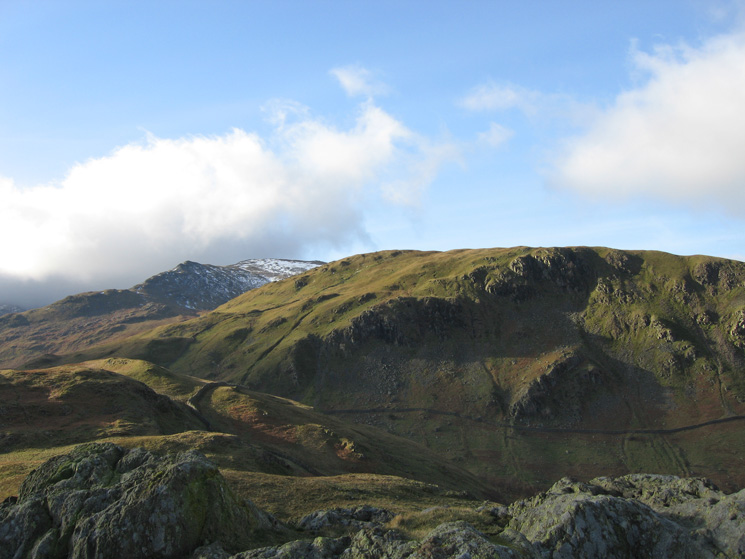
Birks, our route joined the wall just above the shadow. It felt a lot steeper than it looks!
Ullswater from Trough Head with Great Mell Fell in the distance
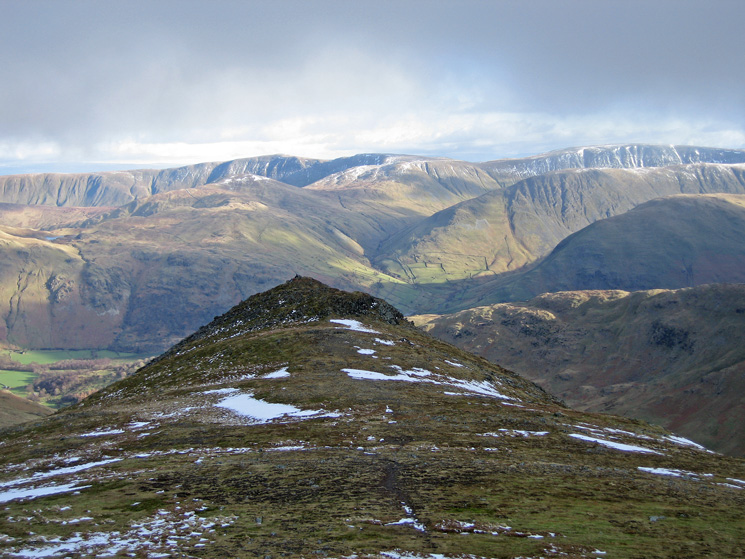
Looking back down on Arnison Crag with the far eastern fells behind
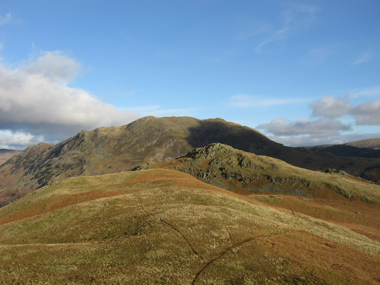
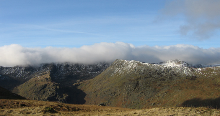
Saint Sunday Crag from Birks summit
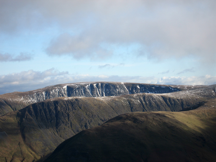
Nethermost Pike's east ridge, High Spying How and Catstycam from Birks summit
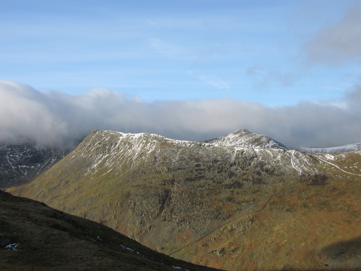
High Spying How and Catstycam from Birks summit
Ascending Saint Sunday Crag from Birks (right) with Ullswater and Place Fell behind
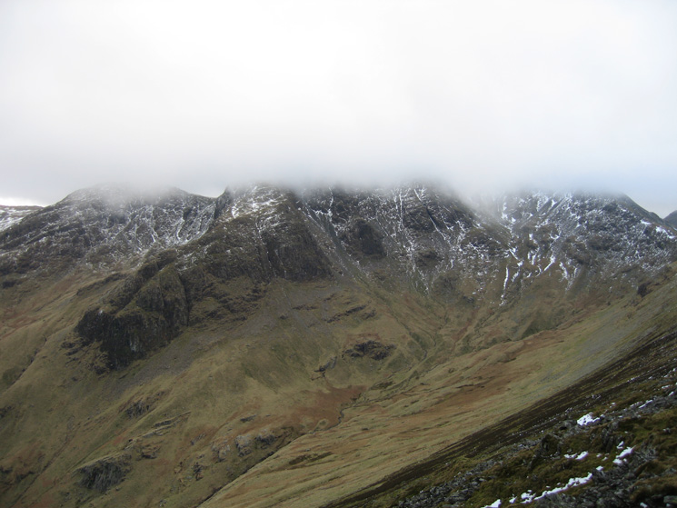
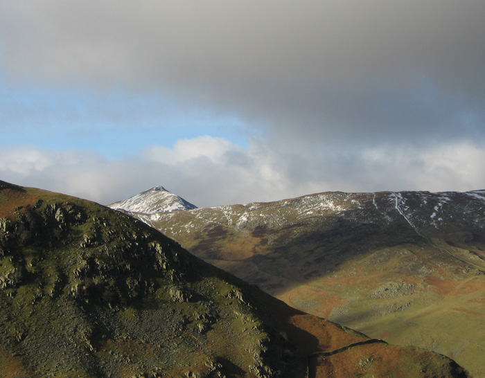
Hart Crag and Fairfield both with their summits in cloud from Gavel Pike
The far eastern fells from Gavel Pike's summit
Zooming in on Hartsop Dodd, Gray Crag and High Street from Gavel Pike
Looking back to Gavel Pike with the far eastern fells behind from our route to Saint Sunday Crag's summit
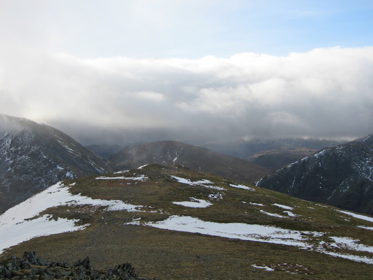
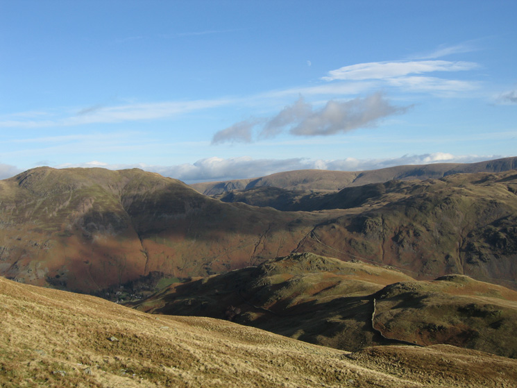
The cloudy view west from Saint Sunday Crag's summit
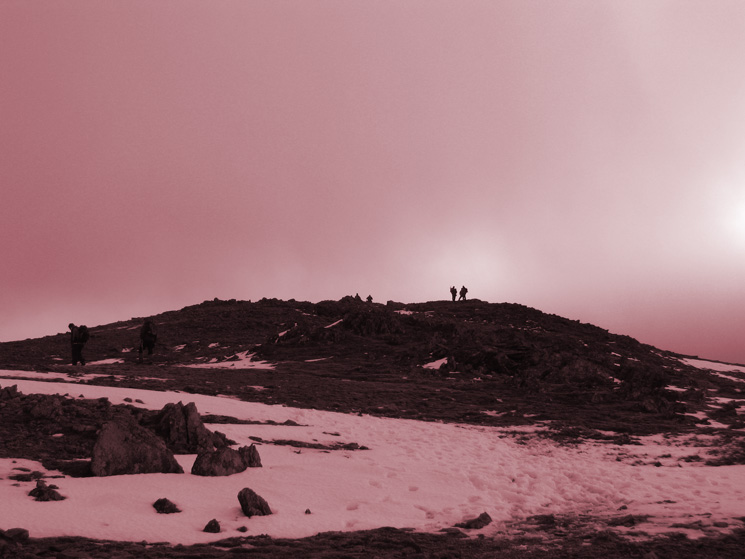
Looking back to Saint Sunday Crag's summit
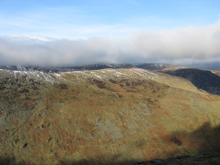
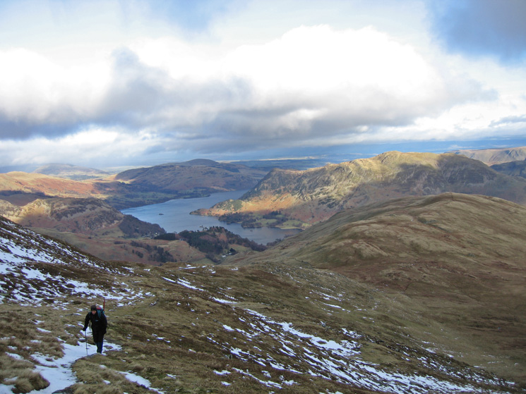
Birkhouse Moor across Grisedale from Saint Sunday Crag
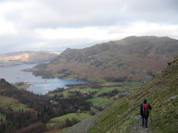
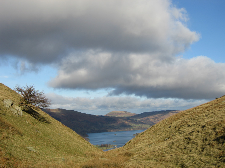
Ullswater and Place Fell from the path on the side of Birks
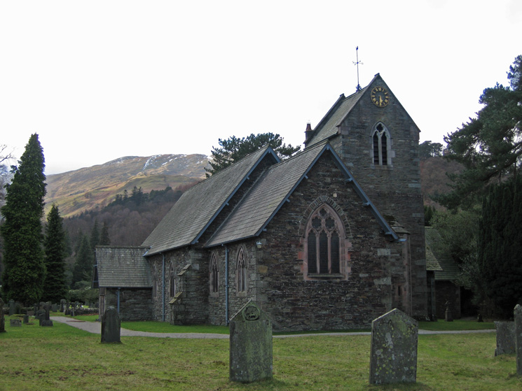
St Patrick's Church, Patterdale
Previous Walk: Double Helvellyn (Thu 25 Jan 2007)
Next Walk: Coniston Fells (Sat 3 Feb 2007)