Helvellyn
Mon 25 Dec 2006
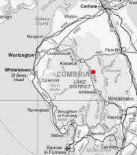
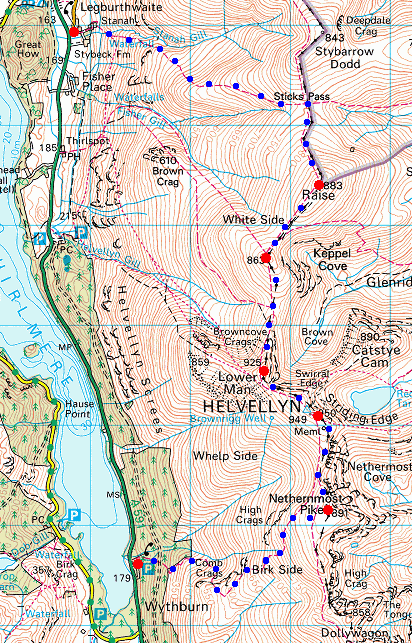
Route: Wythburn - Comb Gill - Birk Side - Nethermost Pike - Swallow Scarth - Helvellyn - Helvellyn Lower Man - White Side - Raise - Sticks Pass - Stanah
Distance: 6.50 miles
Ascent: 3,150ft
Time: 5 hours 20 minutes
With: Roger & Ann Hiley, David & Jennifer Hall and Anne
Notes:
Another brilliant temperature inversion, cloud in the valley with a top around 2,000 - 2,500ft and blue sky and sunshine above, cold wind on the tops.
© Crown copyright. All rights reserved. Licence number AL100038401
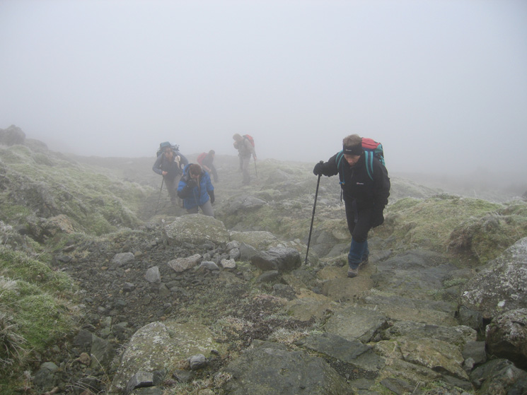
Climbing the path out of Comb Gill above Wythburn church
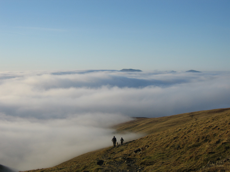
Still in the cloud but a promise of some sun...
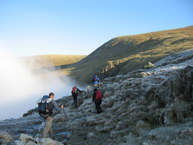
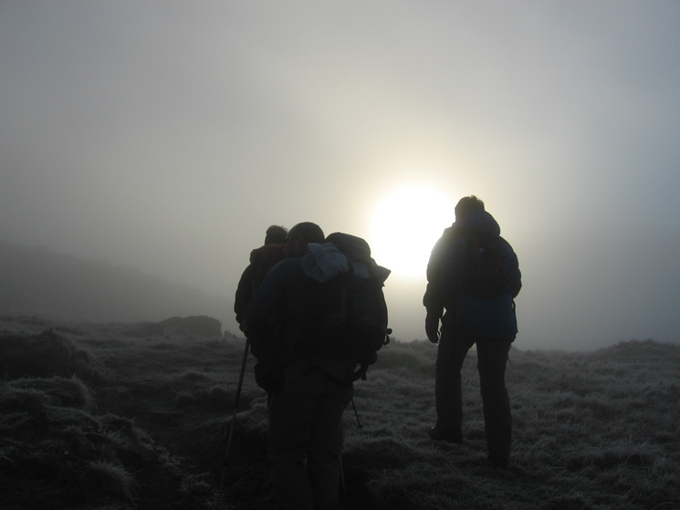
Breaking out of the cloud above Wythburn
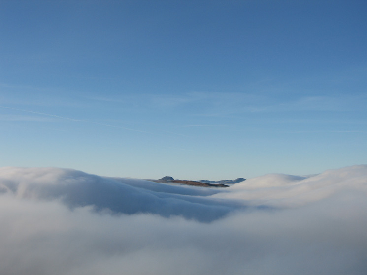
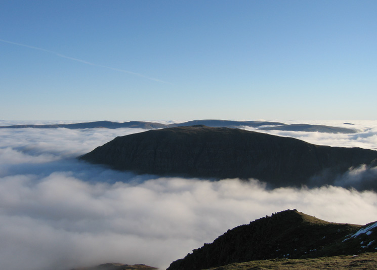
Part of Ullscarf with Great Gable on the left and Pillar on the right
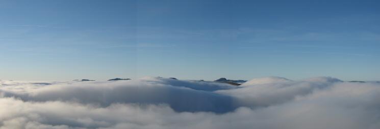
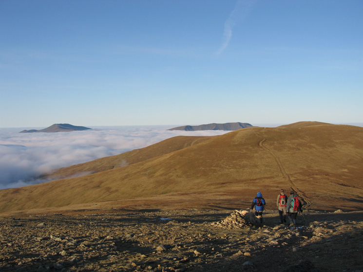
A westerly panorama from Birk Side as we get above the cloud
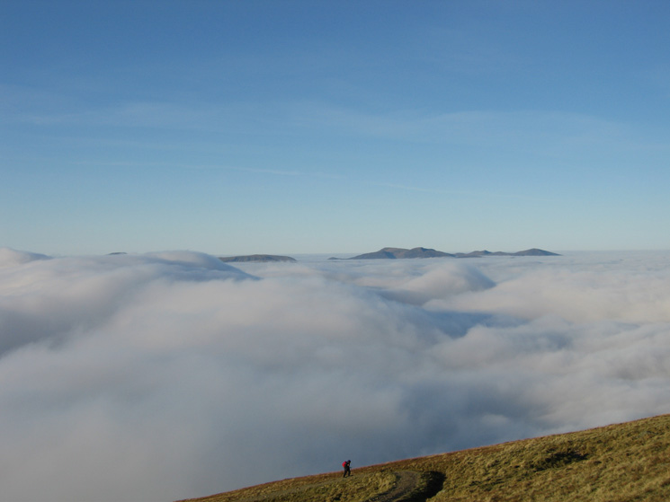
The north western fells from Birk Side
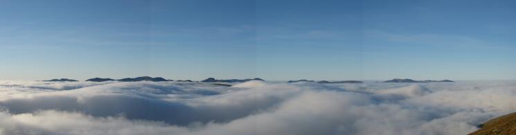
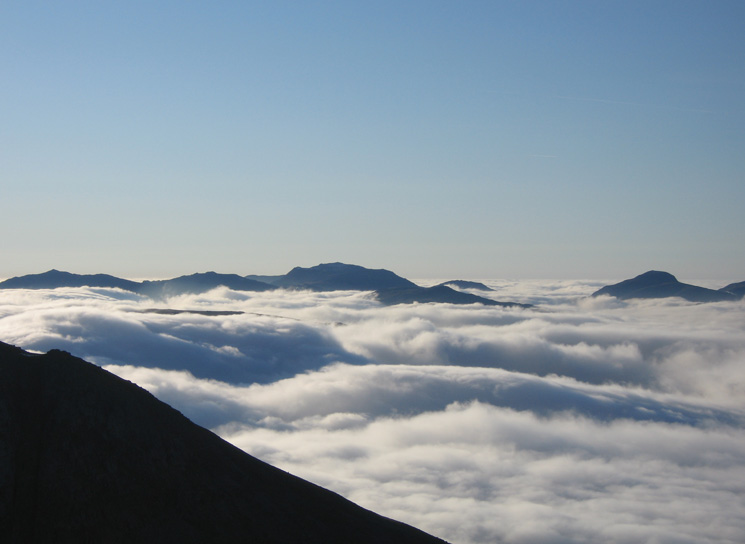
Crinkle Crags to Grisedale Pike from Birk Side
The High Stile ridge, Dale Head, Hindscarth, Robinson, the Grasmoor fells and Grisedale Pike
Crinkle Crags, Bowfell and Scafell Pike
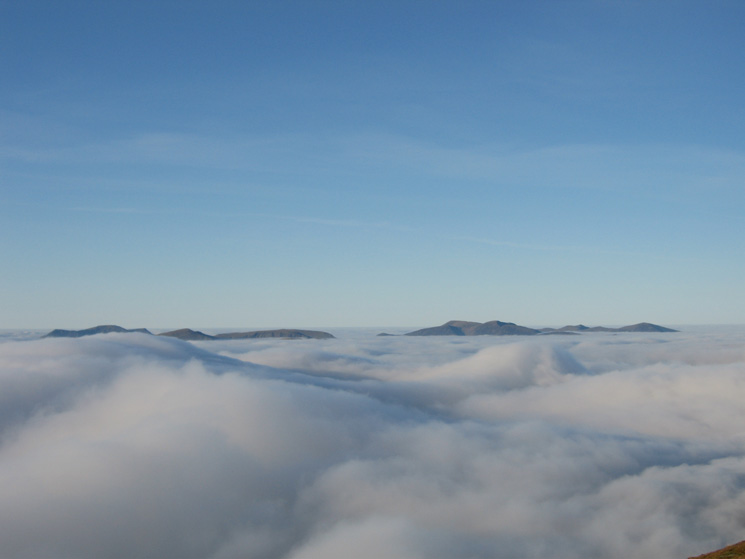
The view west from the path below Nethermost Pike
Saint Sunday Crag with the High Street fells behind from Nethermost Pike
Helvellyn from Nethermost Pike
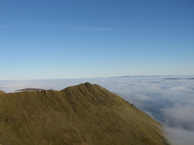
Striding Edge
Scafell Pike, Great Gable, Pillar and the High Stile ridge from the col between Nethermost Pike and Helvellyn
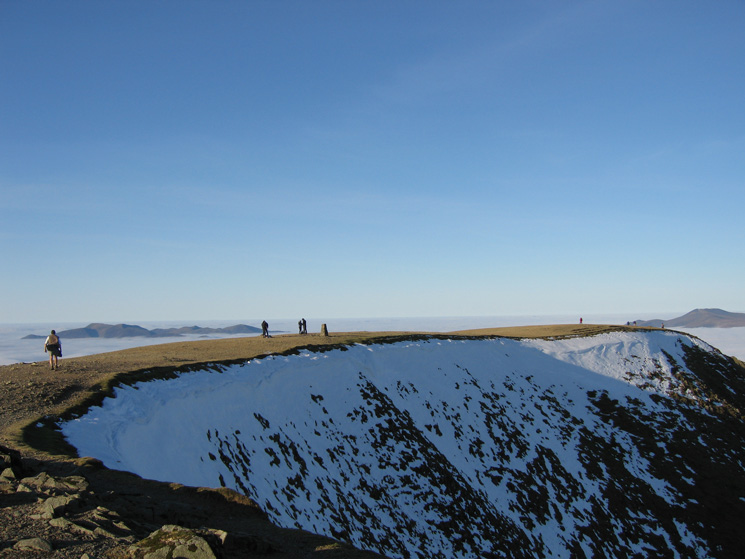
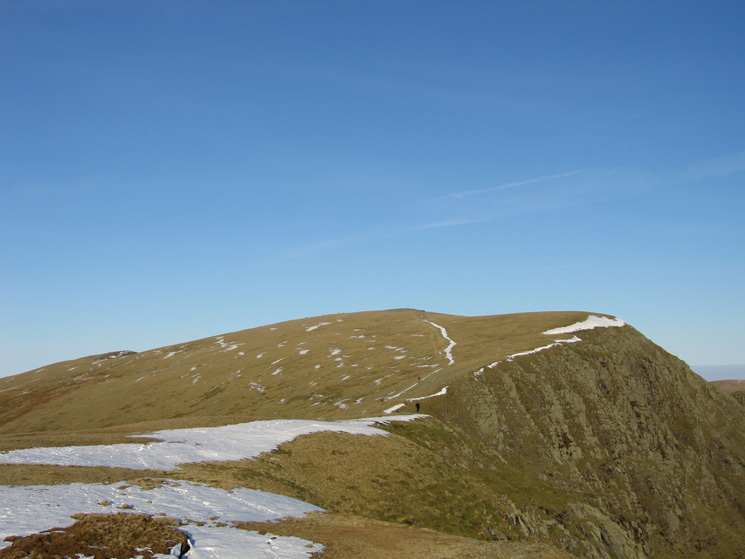
Helvellyn's summit
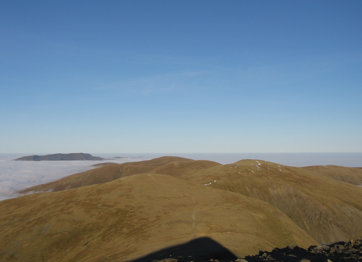
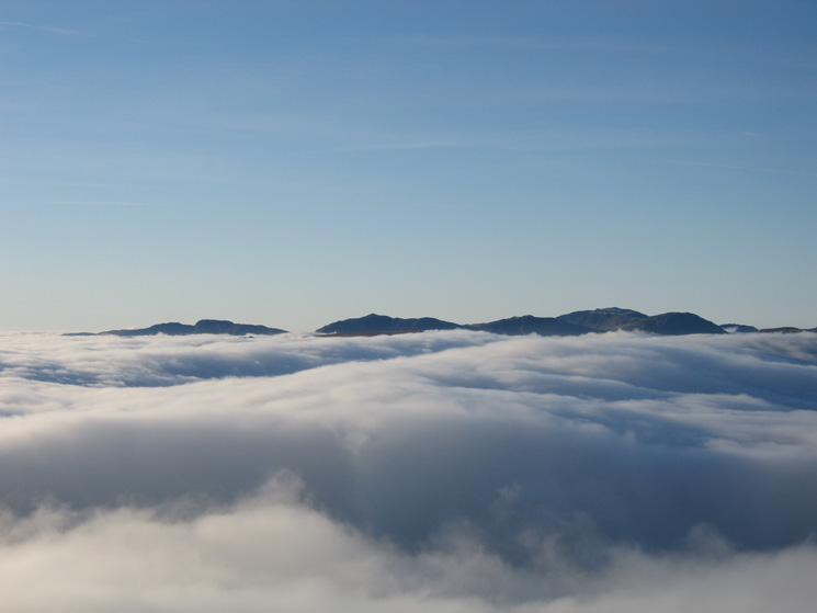
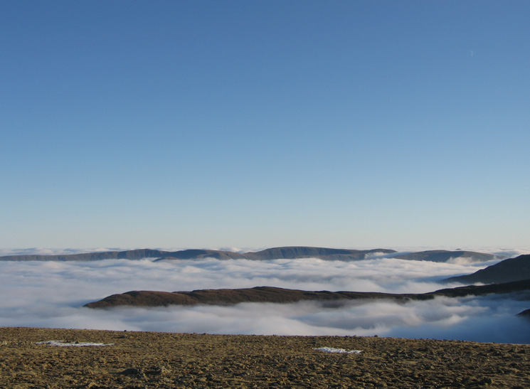
White Side, Raise and the Dodds with Blencathra beyond from Lower Man
The view west from White Side
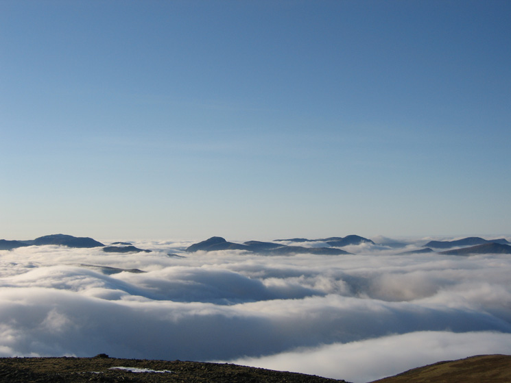
The islands of Skiddaw and Blencathra from White Side's summit
Bowfell, Esk Pike, Scafell Pike and Great Gable
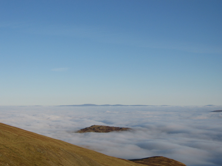
Sheffield Pike with the North Pennines in the distance
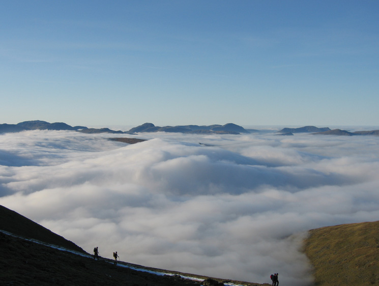
Looking over Birkhouse Moor to the High Street ridge from Raise
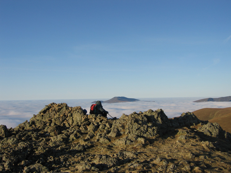
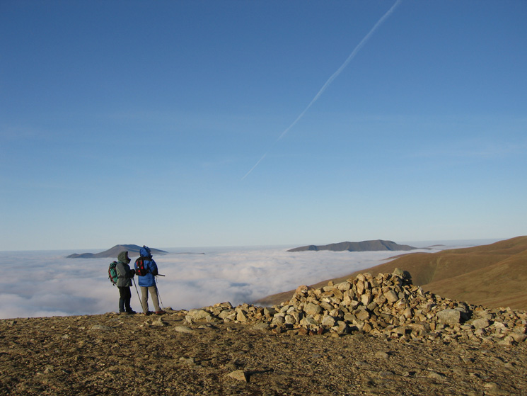
Raise's summit
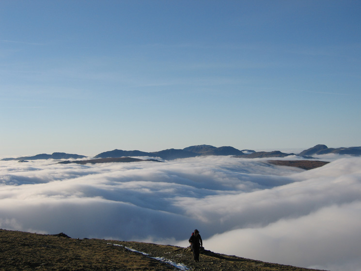
Descending to Sticks Pass with Stybarrow Dodd ahead
Descending from Sticks Pass to Stanah
Previous Walk: Buttermere Trio (Sun 24 Dec 2006)
Next Walk: Blencathra and Mungrisdale Common (Tue 26 Dec 2006)