High Street from Mardale Head
Sun 17 Dec 2006
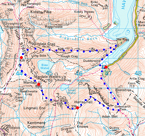
Route: Mardale Head - Rough Crag - Caspel Gate Tarn - Long Stile - High Street - Mardale Ill Bell - Nan Bield Pass - Harter Fell - Gatescarth Pass - Mardale Head
Distance: 6.75 miles
Ascent: 2,700ft
Time: 4 hours 40 minutes
With: David Hall and Anne
Notes:
Blue sky and sunshine, snow on the tops, brilliant!
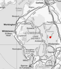
© Crown copyright. All rights reserved. Licence number AL100038401
Looking across Riggindale to Kidsty Pike and Kidsty Howes
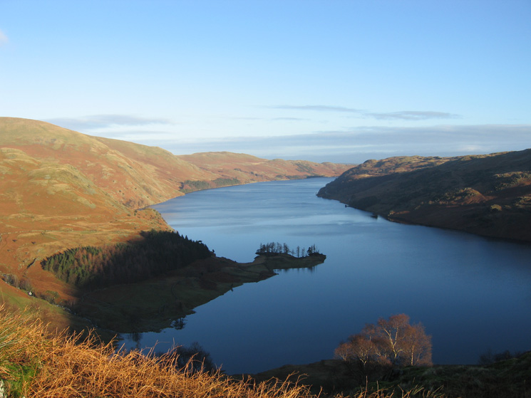
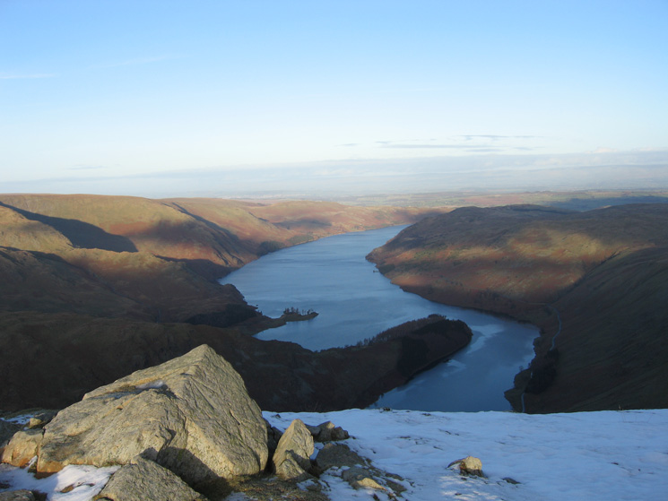
Haweswater from the ascent of Rough Crag
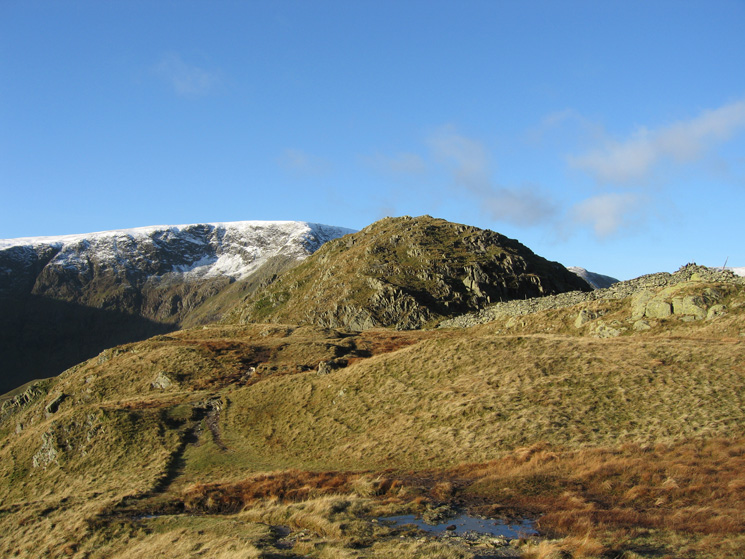
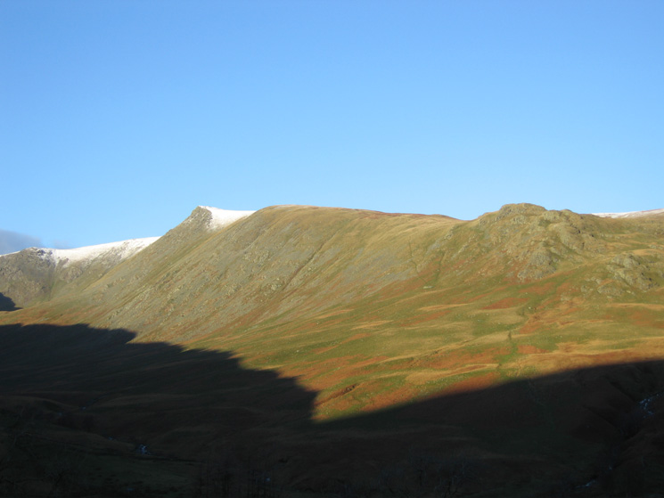
Rough Crag with High Street beyond
Long Stile leading onto High Street from Caspel Gate Tarn
Ascending Long Stile with Rough Crag and Caspel Gate Tarn now way below
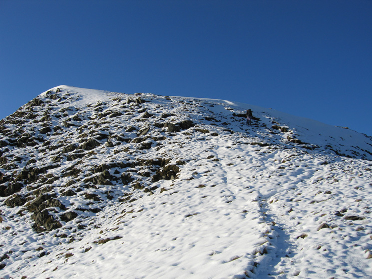
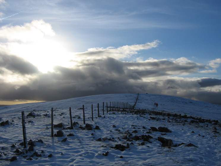
The final slope up onto High Street
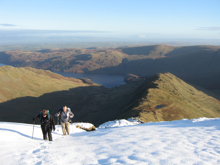
Ascending Long Stile
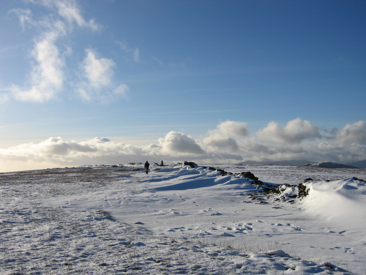
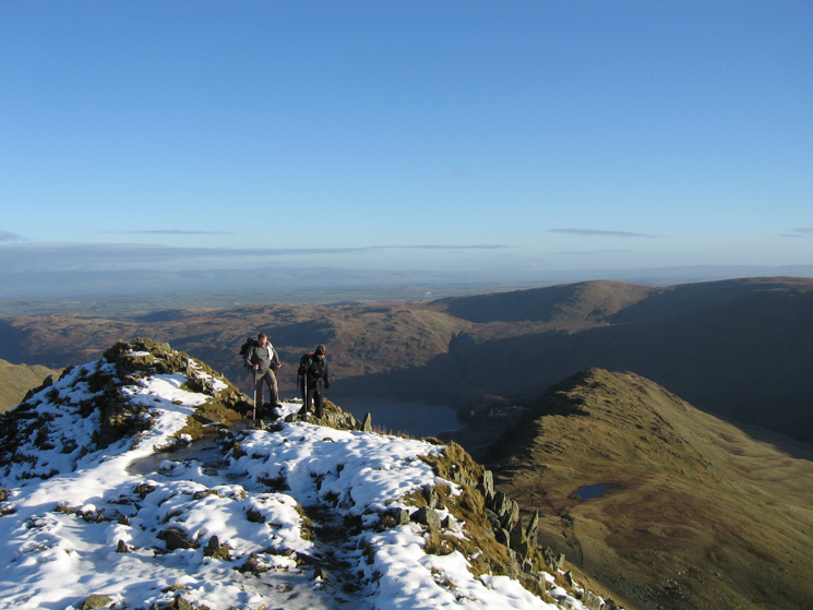
A walker approaching the trig point at High Street's summit
Helvellyn from High Street's summit
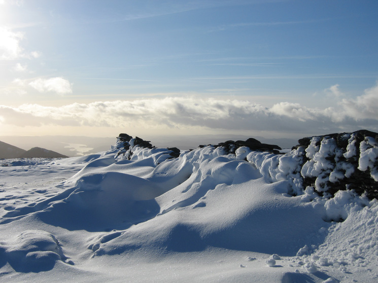
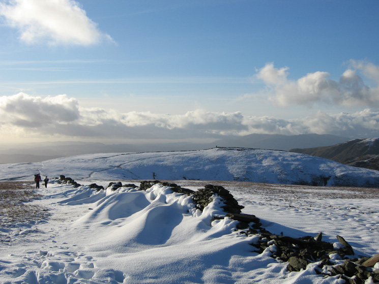
Snowdrift, High Street
Looking across to Thornthwaite Beacon
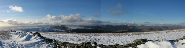
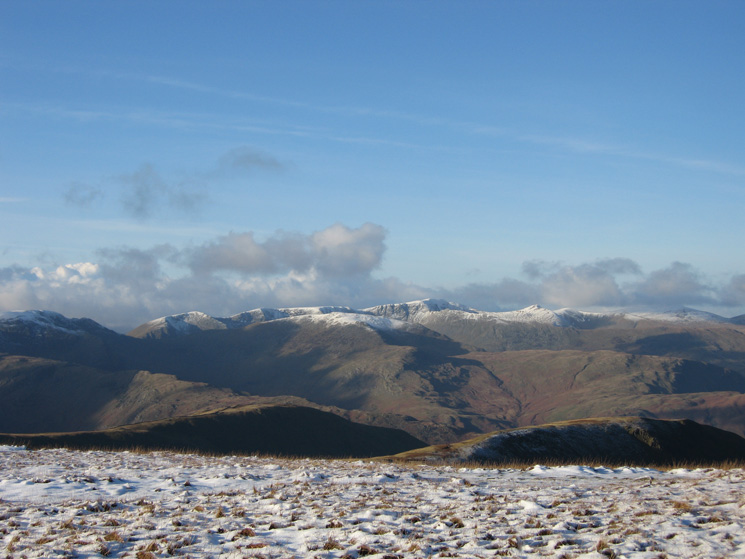
Westerly panorama from south of High Street's summit
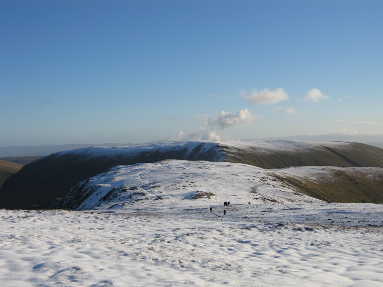
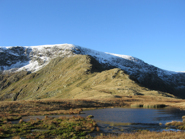
Mardale Ill Bell with Harter Fell behind
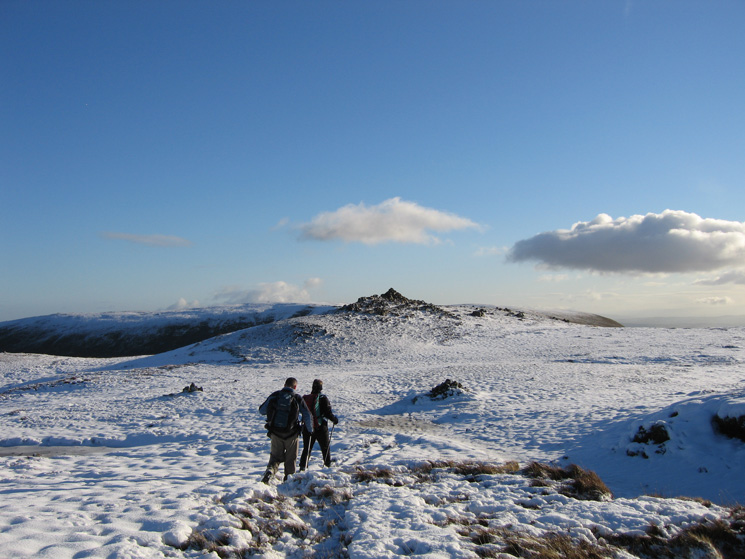
Approaching Mardale Ill Bell's summit

360 Panorama from Mardale Ill Bell's summit
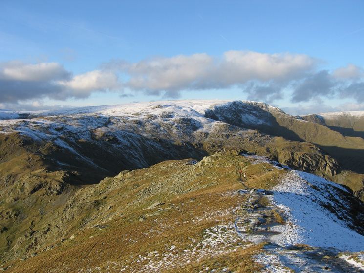
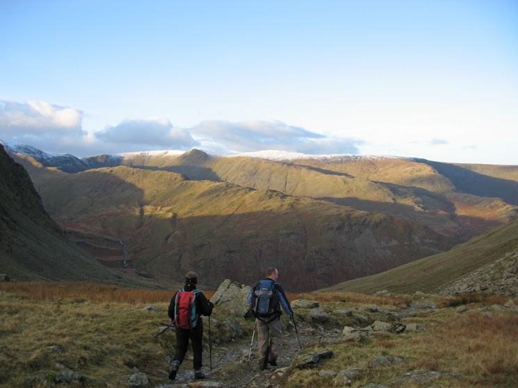
Looking back to Mardale Ill Bell and High Street from Harter Fell
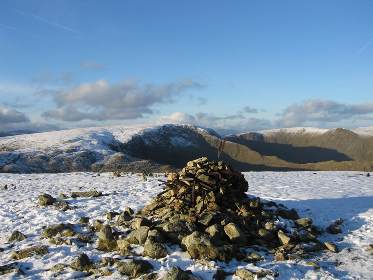
Harter Fell's summit cairn
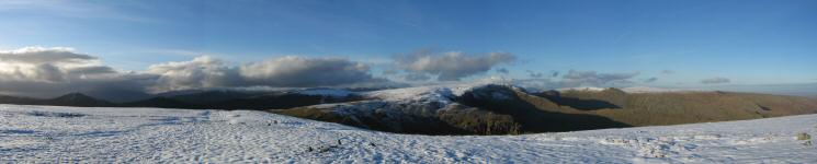
Westerly panorama from Harter Fell's summit
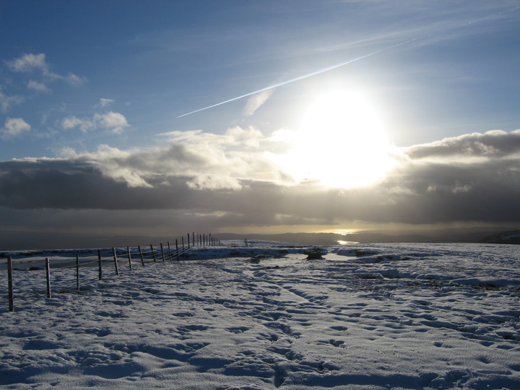
Looking south from Harter Fell's summit with the sun reflecting off Windermere and Morecambe Bay
Looking back to Harter Fell's summit as the cloud builds to the south west
Haweswater from Harter Fell
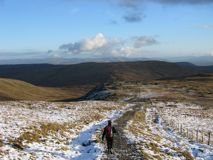
On the path to Gatescarth Pass with Tarn Crag ahead and the Howgills in the distance
Descending to Mardale Head from Gatescarth Pass
Previous Walk: Lingmoor Fell and Pike o'Blisco (Sat 16 Dec 2006)
Next Walk: Hard Knott, Harter Fell and Green Crag (Tue 19 Dec 2006)