Hard Knott, Harter Fell and Green Crag
Tue 19 Dec 2006
Route: Brotherilkeld, Eskdale - River Esk - Lingcove Bridge - Lingcove Beck - Yew Bank - Hard Knott - Hardknott Pass - Harter Fell - Green Crag - Low Birker Tarn - Low Birker - Woolpack Inn - road - Brotherilkeld
Distance: 12.00 miles
Ascent: 3,500ft
Time: 6 hours 30 minutes
With: David Hall
Notes:
Frosty and cloudy to start, blue skies and an inversion on Hard Knott and then cloud building and covering the high fells from Harter Fell's summit onwards. No wind all day.
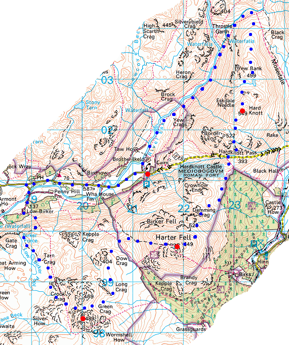
© Crown copyright. All rights reserved. Licence number AL100038401
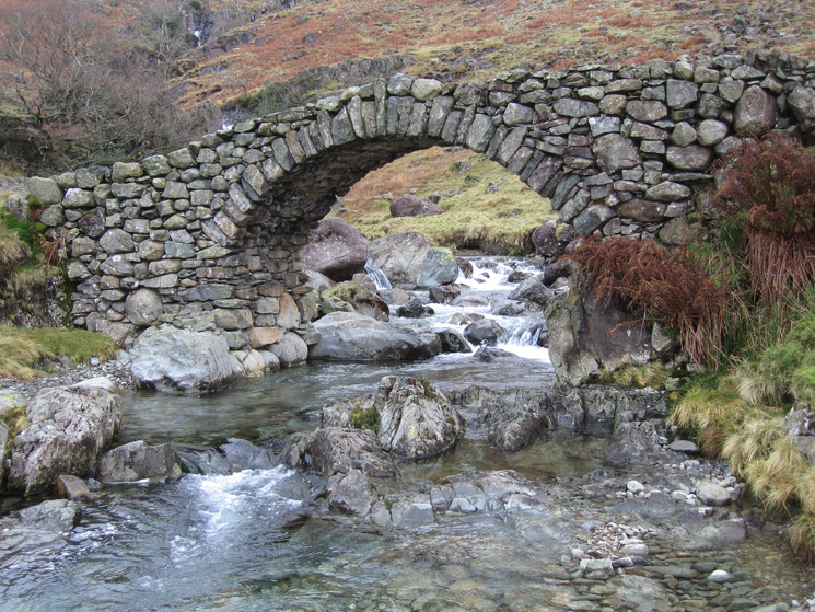
Lingcove Bridge
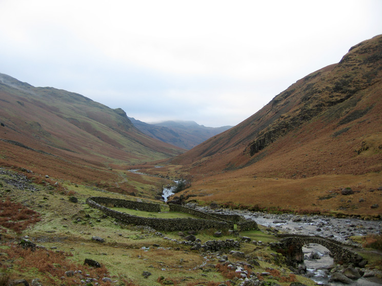
Looking back down the River Esk from Lingcove Bridge
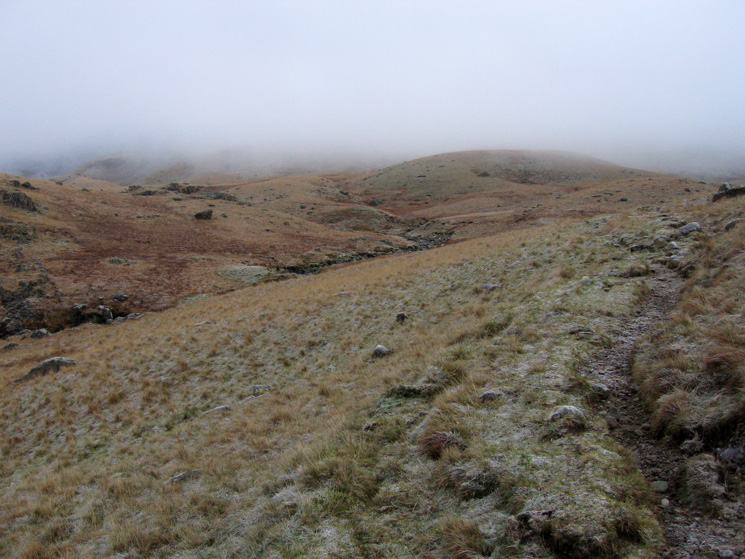
Path by Lingcove Beck in Upper Eskdale
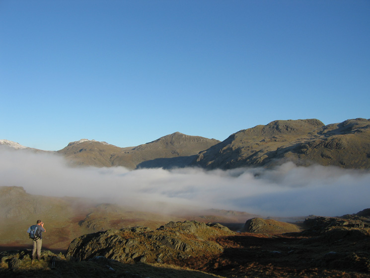
Esk Pike, Bowfell and Crinkle Crags
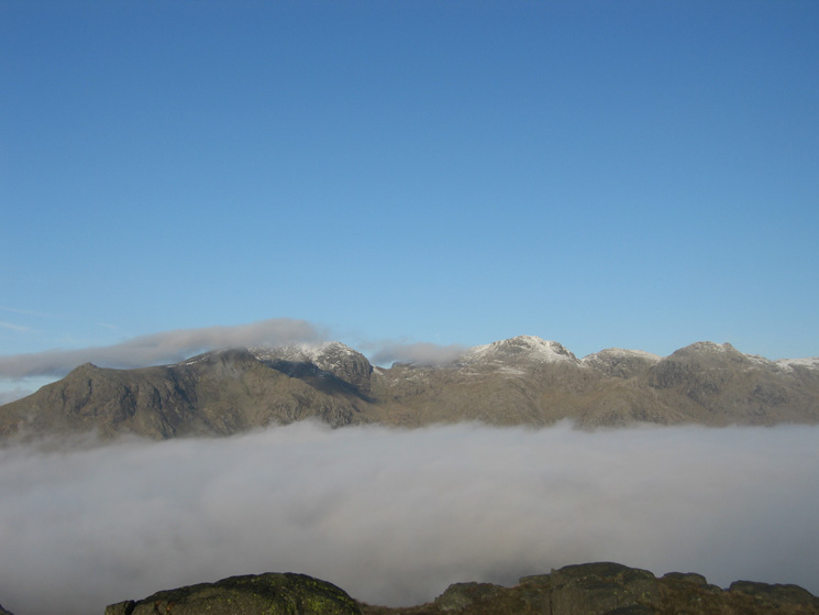
Slight Side, Scafell, Scafell Pike, Broad Crag and Ill Crag from Hard Knott
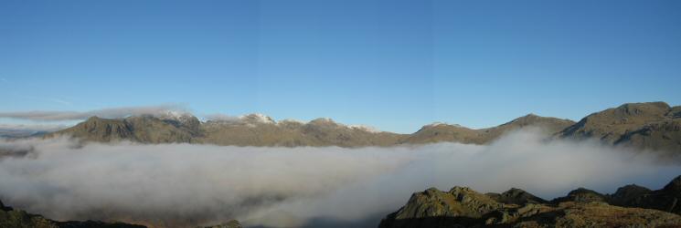
The Scafells, Esk Pike, Bowfell and Crinkle Crags from Hard Knott
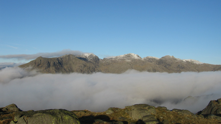
The Scafells from Hard Knott's summit
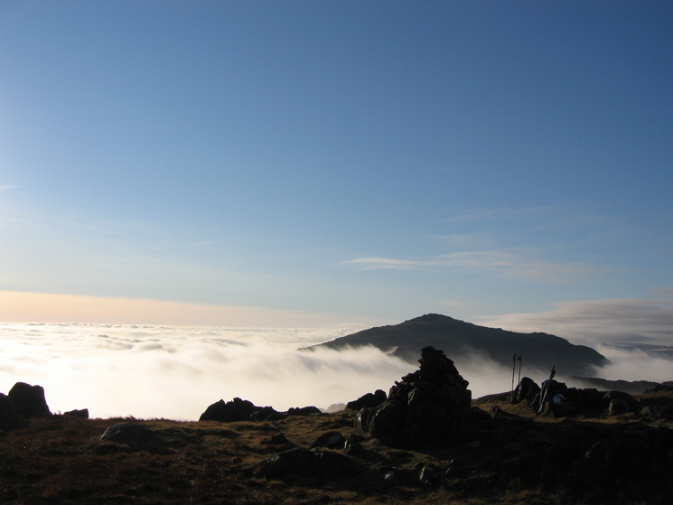
Harter Fell from Hard Knott's summit
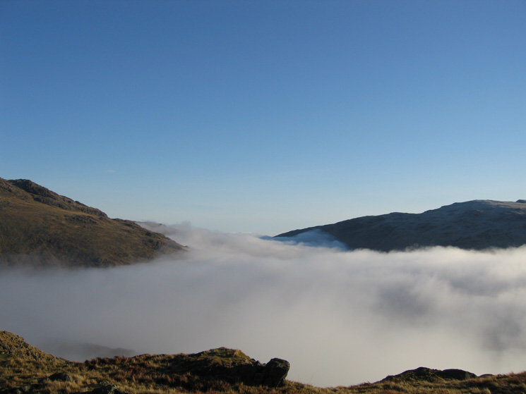
Cockley Beck and Wrynose Bottom under the cloud
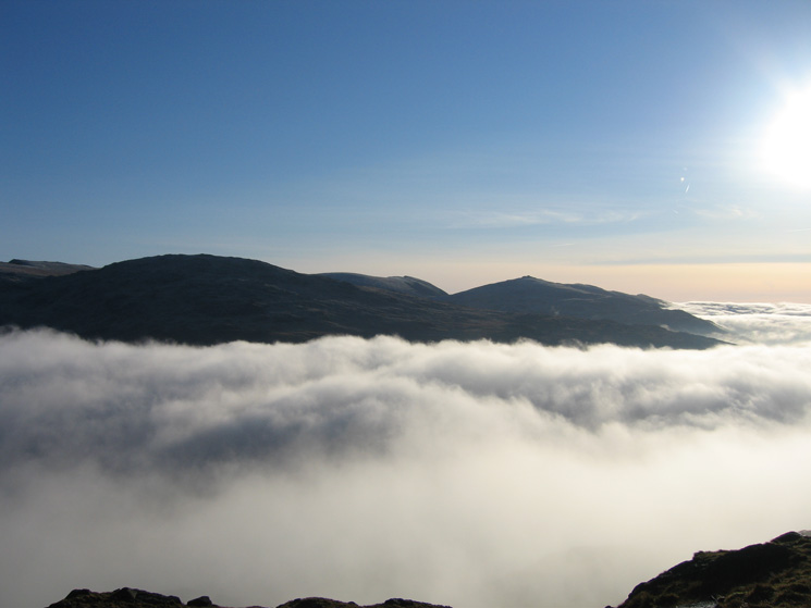
Swirl How, the bulk of Grey Friar, The Old Man of Coniston and Dow Crag from Hard Knott's summit
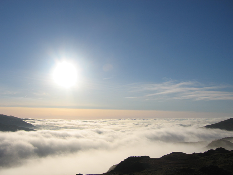
South from Hard Knott's summit
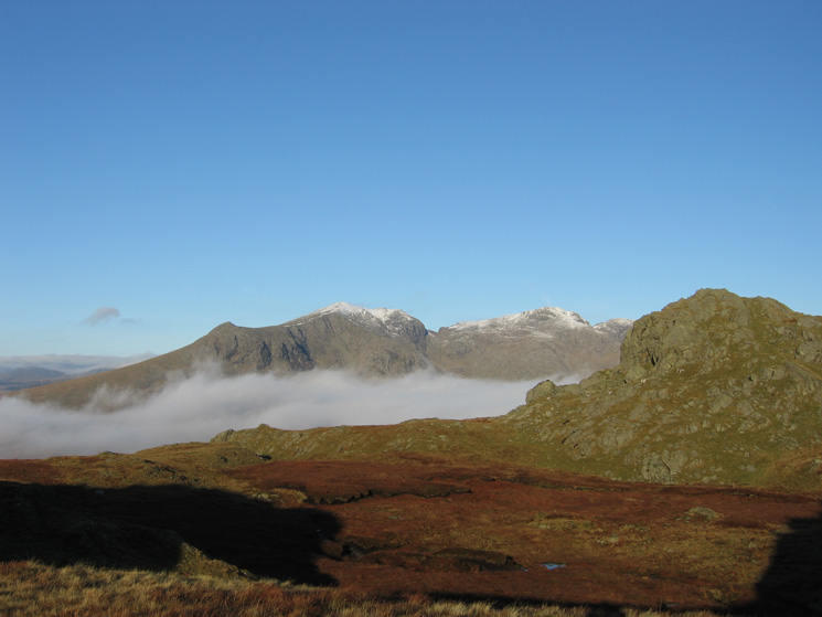
Slight Side, Scafell and Scafell Pike from Hard Knott
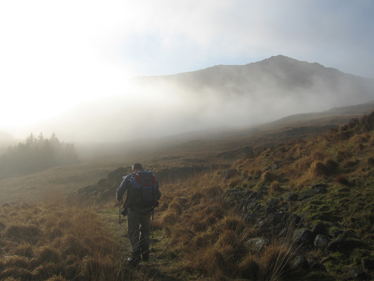
Heading for Harter Fell from Hardknott Pass
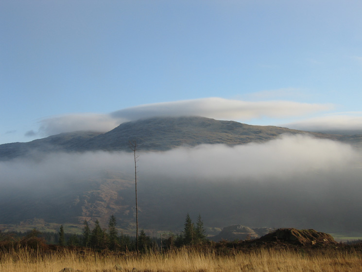
Looking across to Grey Friar from our ascent of Harter Fell

Northerly panorama from Harter Fell
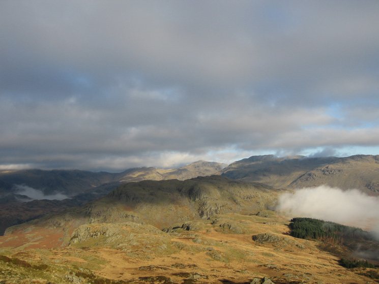
Looking back to Hard Knott from our ascent of Harter Fell as the cloud builds
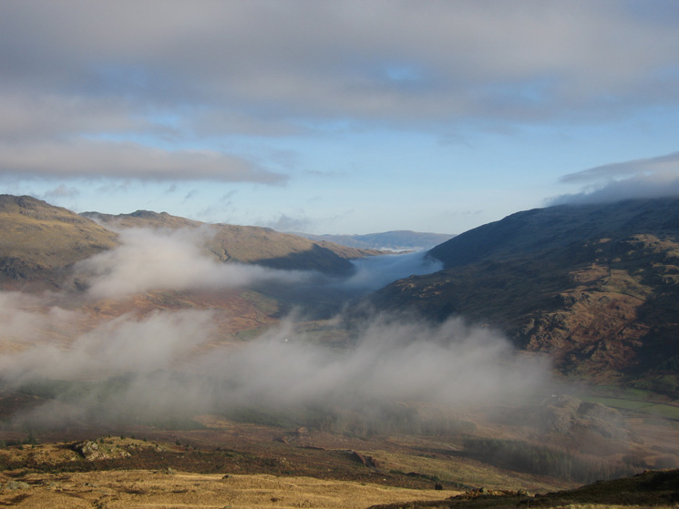
Cockley Beck
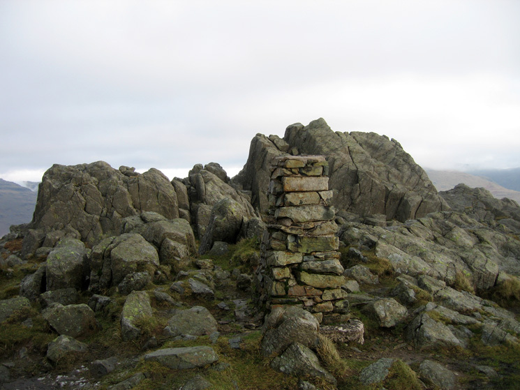
Harter Fell's summit
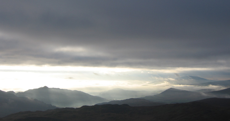
Stickle Pike on the left and The Pike with Black Combe behind on the right form Harter Fell's summit
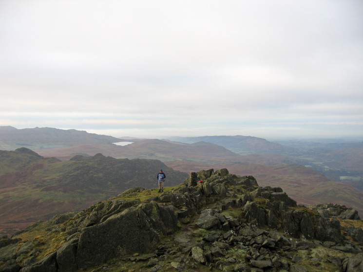
Harter Fell's 'official' summit from its true summit with Devoke Water in the distance
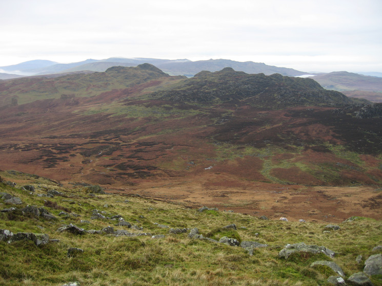
Looking across to Green Crag and Crook Crag from Harter Fell
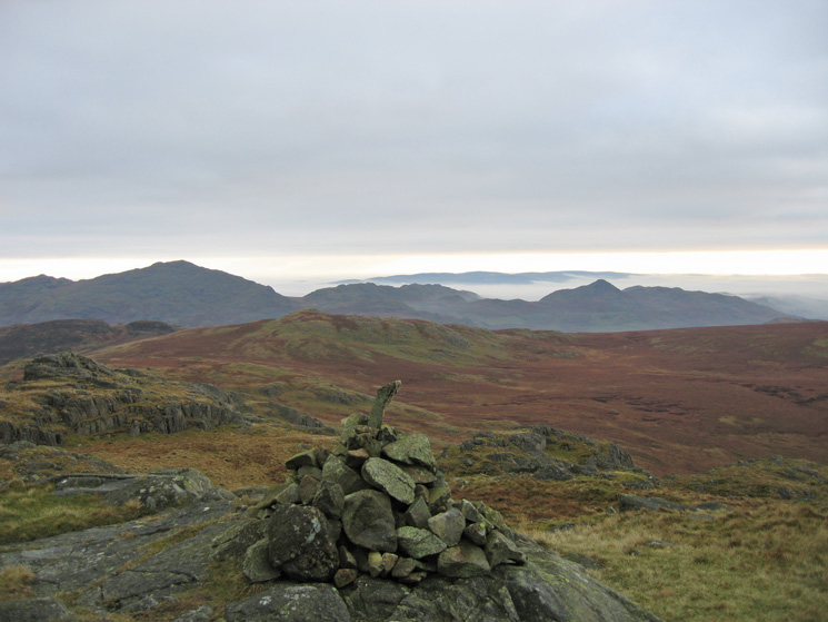
Caw and Stickle Pike from Green Crag's summit
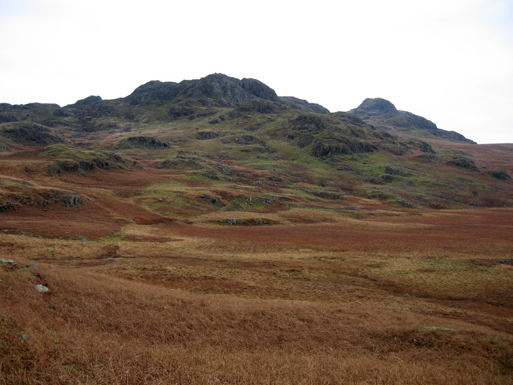
Looking back to Green Crag (right) with Crook Crag on the left
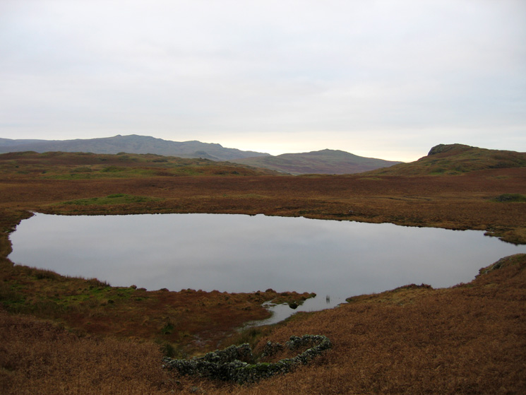
Low Birker Tarn
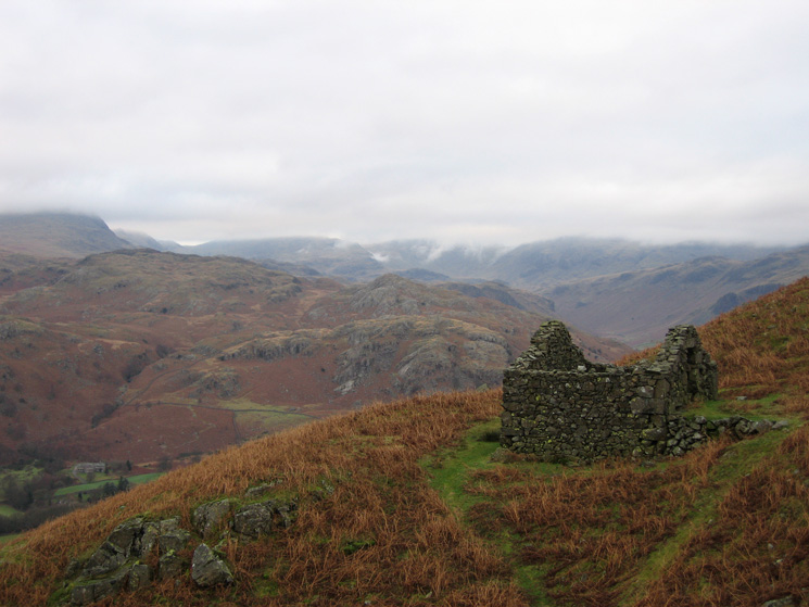
The Low Birker peat-hut
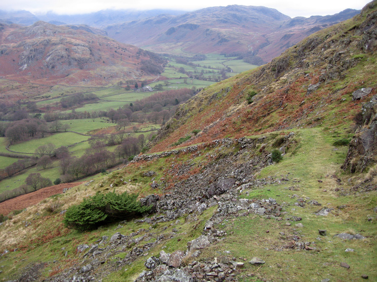
The old peat road descending into Eskdale
Previous Walk: High Street from Mardale Head (Sun 17 Dec 2006)
