Castlerigg Stone Circle and High Rigg
Thu 8 Jun 2006
Route: Castlerigg Stone Circle - Naddle Bridge - Tewet Tarn - Low Rigg - St John's in the Vale Church - High Rigg - Nest - Castlerigg Stone Circle
Distance: 4.75 miles
Ascent: 1,100ft
Time: 2 hours 5 minutes
With: Anne
Notes:
Warm evening, sunny, no wind
© Crown copyright. All rights reserved. Licence number AL100038401
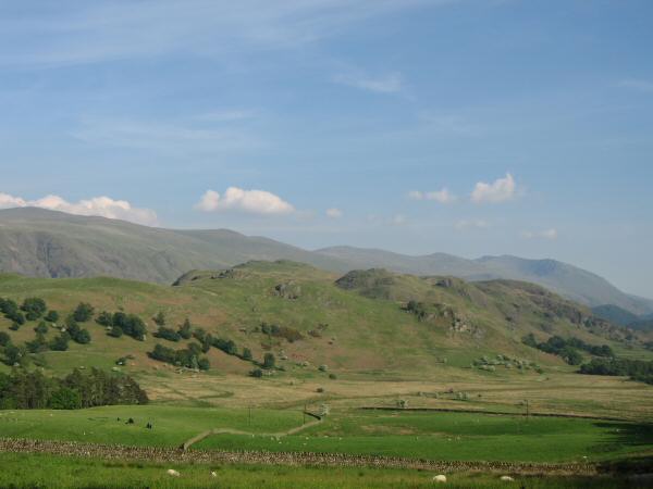
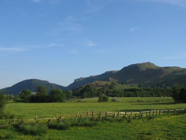
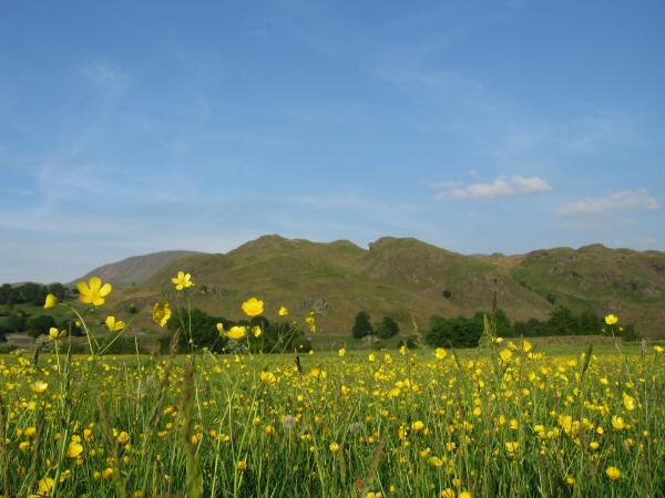
High Rigg with the Helvellyn range behind from near Goosewell Farm
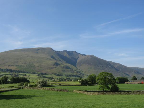
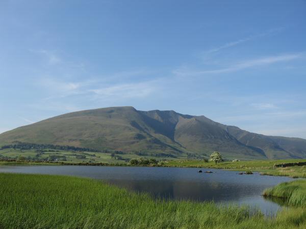
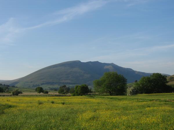
Blencathra
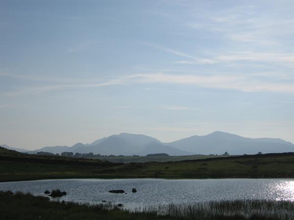
Looking over Tewet Tarn to the north western fells
Blencathra from Tewet Tarn

High Rigg from Low Rigg

Blencathra from High Rigg's summit

The Skiddaw Fells from High Rigg's summit
Helvellyn and a glimpse of Thirlmere from High Rigg's summit

Clough Head, the Dodds and Helvellyn from High Rigg's summit
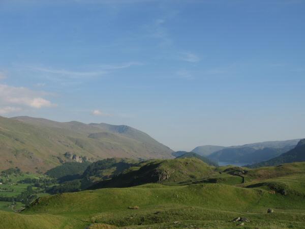
The Benn, Iron Crag and Dodd Crag from Dale Bottom
High Rigg from Dale Bottom

Helvellyn
Blencathra
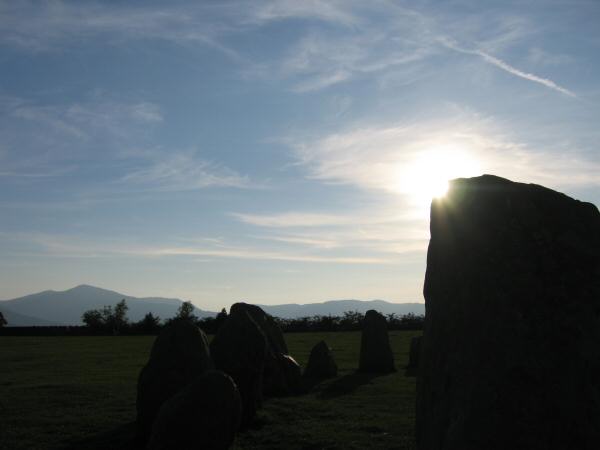
Grisedale Pike on the left from Castlerigg Stone Circle
Previous Walk: Seathwaite Tarn Round (Sun 4 Jun 2006)
Next Walk: The Kirkstone Pass fells (Sat 10 Jun 2006)