Seathwaite Tarn Round
Sun 4 Jun 2006
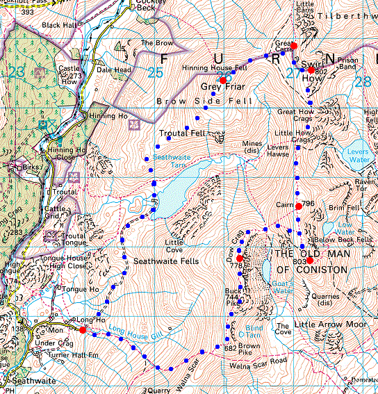
Route: Walna Scar Road, fell gate (Seathwaite) - Walna Scar Road - Brown Pike - Buck Pike - Dow Crag - Goat's Hause - Coniston Old Man - Brim Fell - Levers Hawse - Swirl How - Great Carrs - Fairfield - Grey Friar - Seathwaite Tarn - fell gate
Distance: 10.00 miles
Ascent: 3,500ft
Time: 4 hours 40 minutes
With: Anne
Notes:
Overcast to begin, but the cloud breaking to give blue sky and scattered clouds. Warm, light breeze, hazy.
© Crown copyright. All rights reserved. Licence number AL100038401
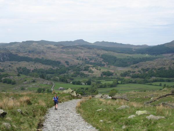
Heading up the Walna Scar Road with Green Crag and Crook Crag on the skyline
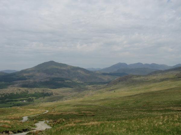
Harter Fell (Eskdale) and the Scafells from the Walna Scar Road
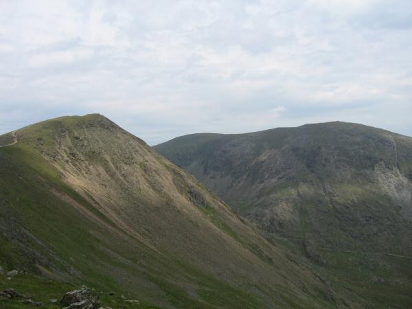
Buck Pike and Coniston Old Man from Brown Pike
Blind Tarn and Brown Pike from the path up Buck Pike
The view south from our ascent of Buck Pike
Dow Crag from Buck Pike
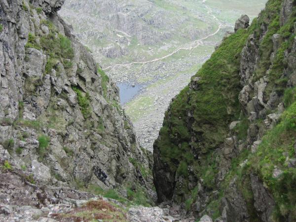
Looking down Easy Gully, Dow Crag
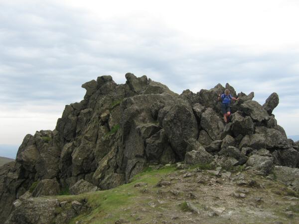
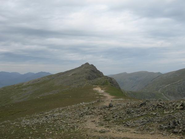
Dow Crag's rocky summit
The path from Goat's Hause to the summit of the Old Man of Coniston
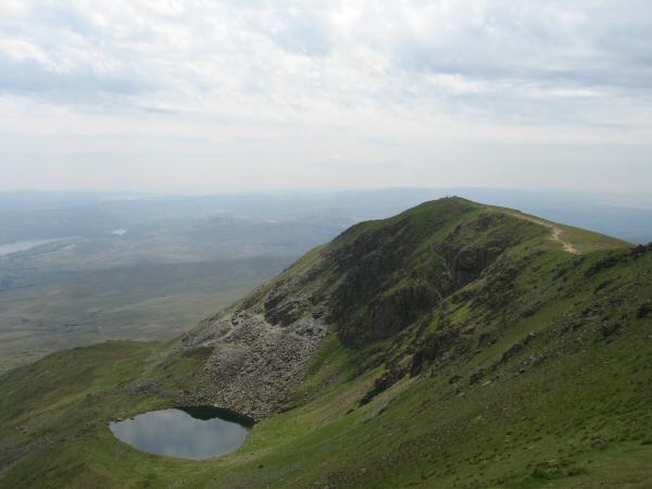
Goat's Water
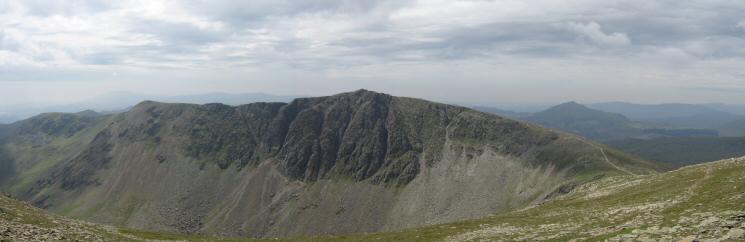
Brown Pike, Buck Pike and Dow Crag from Coniston Old Man
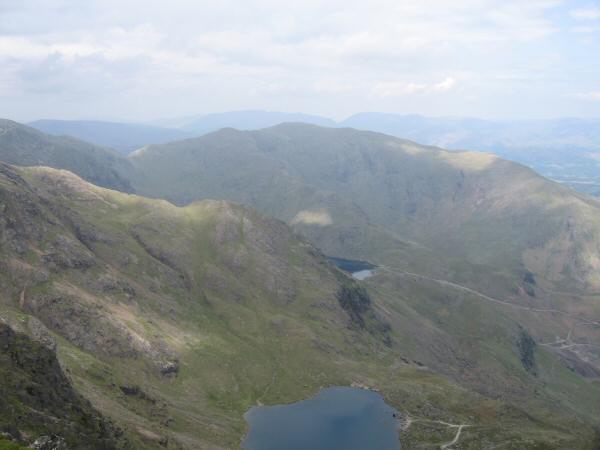
Wetherlam from Coniston Old Man with Low Water straight down and a glimpse of Levers Water
Brim Fell from Coniston Old Man's summit with the Scafells in the distance
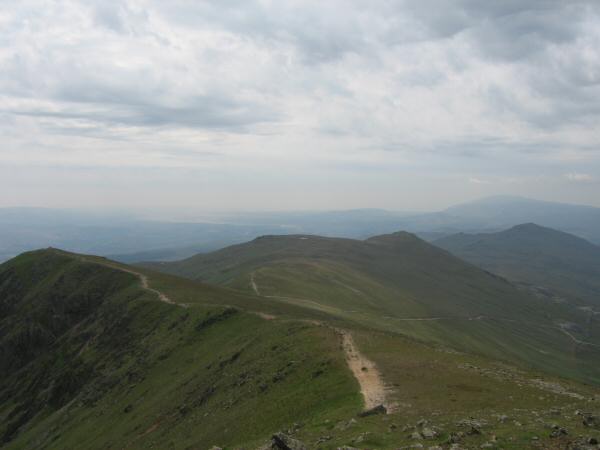
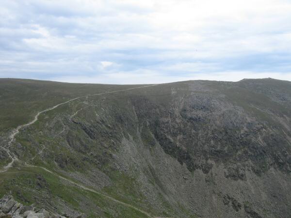
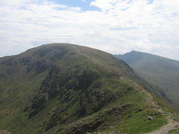
Swirl How from Brim Fell
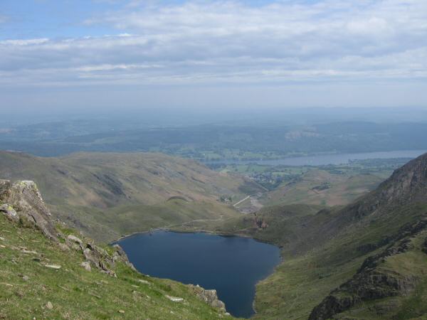
Levers Water with Coniston Water beyond
Looking back to Brim Fell with Dow Crag on the right
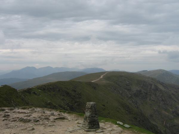
Great Carrs from Swirl How's summit
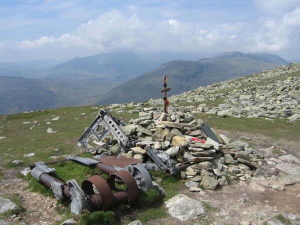
Halifax Bomber crash memorial, Great Carrs
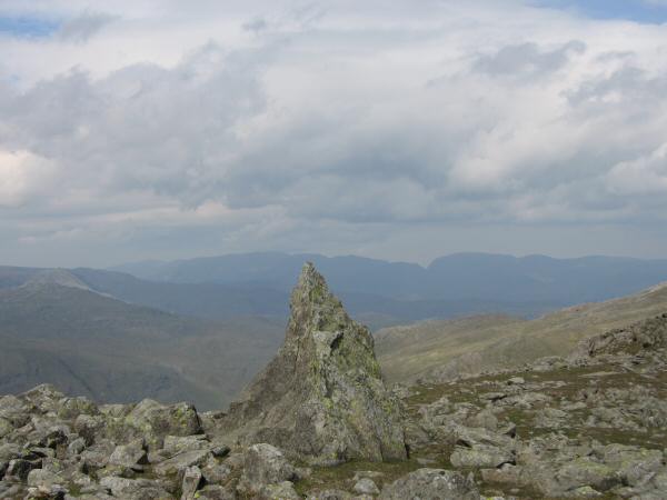
The 'Matterhorn Rock' on Grey Friar with the Helvellyn ridge and Fairfield in the distance
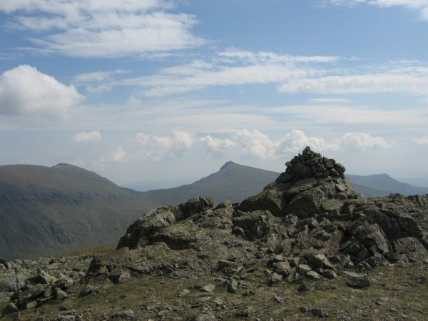
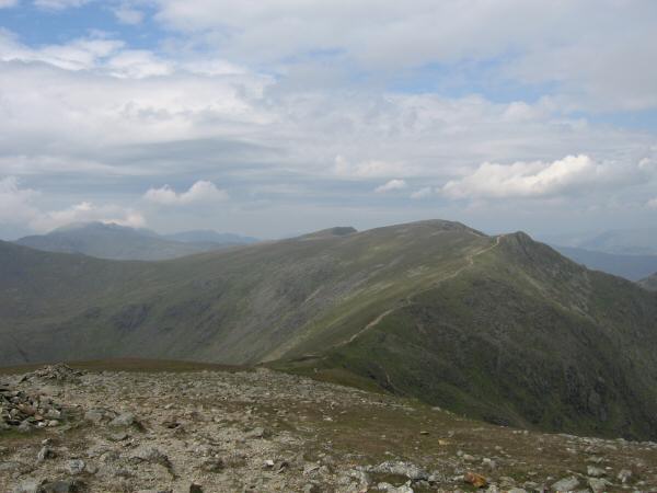
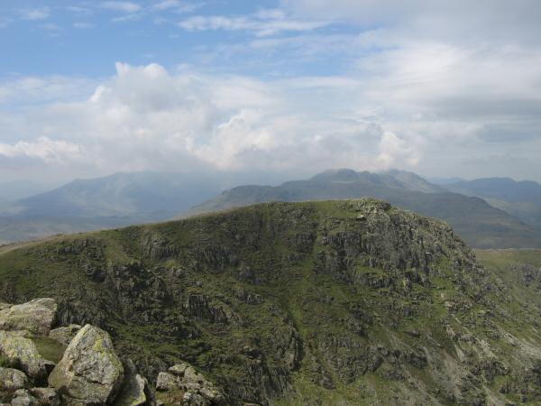
Coniston Old Man and Dow Crag from Grey Friar's summit
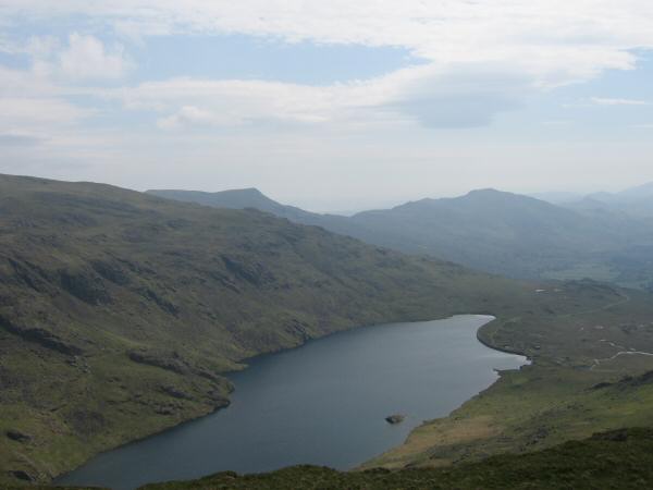
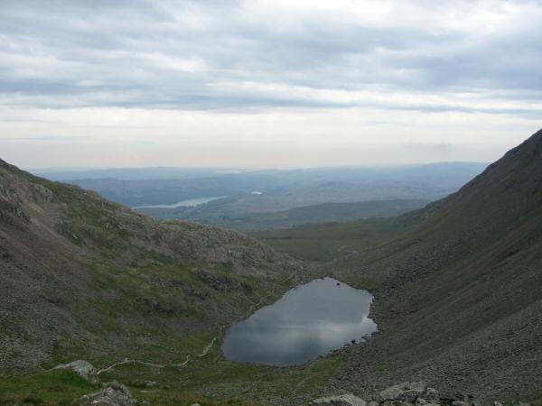
Seathwaite Tarn
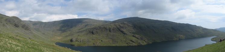
Seathwaite Tarn panorama
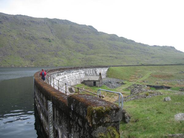
Seathwaite Tarn's dam
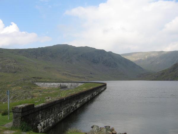
Grey Friar from Seathwaite Tarn's dam
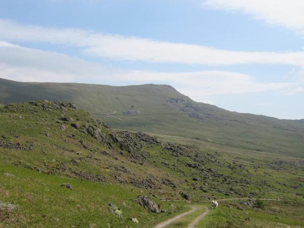
White Pike and the Walna Scar Road
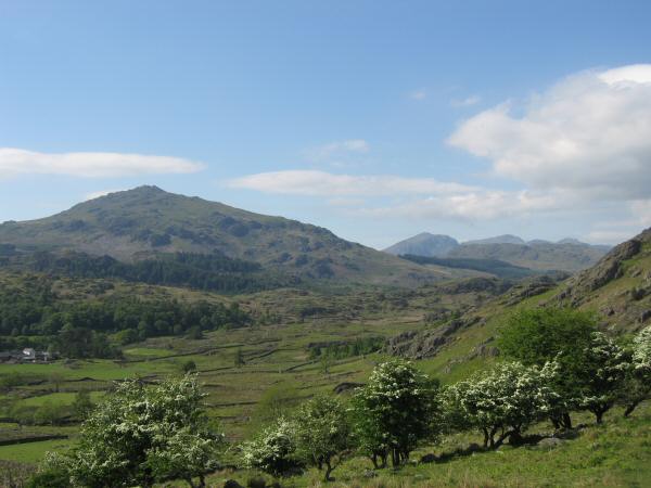
Harter Fell (Eskdale) and the Scafells in the distance
Previous Walk: Catstycam to Glenridding Dodd (Sat 3 Jun 2006)
Next Walk: Castlerigg Stone Circle and High Rigg (Thu 8 Jun 2006)