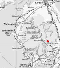
Sour Howes and Sallows
Sun 30 Apr 2006
Route: Troutbeck Church - Garburn Road - Backstone Barrow - Sour Howes - Sallows - Garburn Nook - Garburn Pass - Garburn Road - Troutbeck Church
Distance: 4.75 miles
Ascent: 1,400ft
Time: 2 hours 10 minutes
With: On Own
Notes:
Sunshine, blue sky and scattered clouds.
I bumped into David and Jennifer Hall on Sour Howes summit.
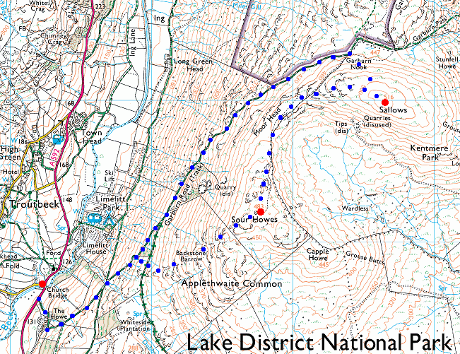
© Crown copyright. All rights reserved. Licence number AL100038401
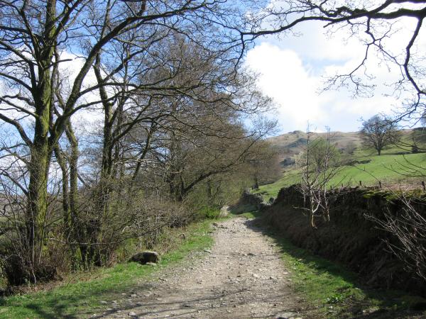
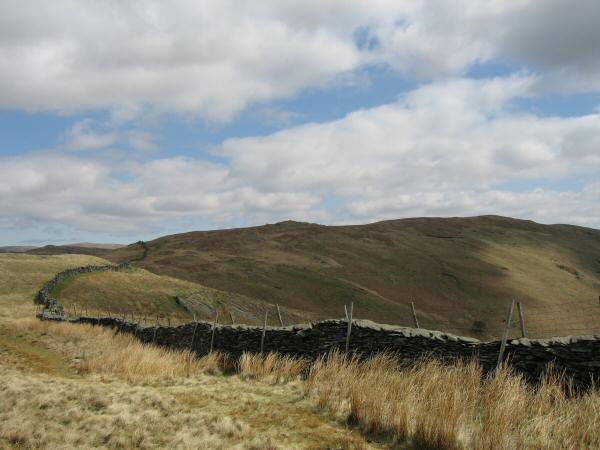
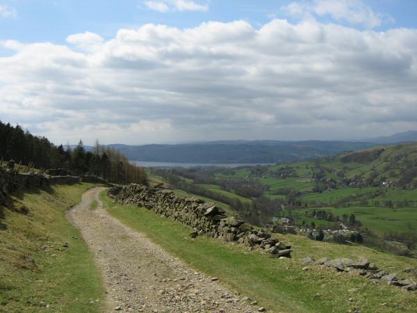
Low down on the Garburn Road. I ascended Sour Howes by the ridge in the centre of the photo
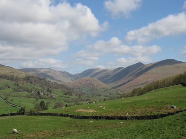
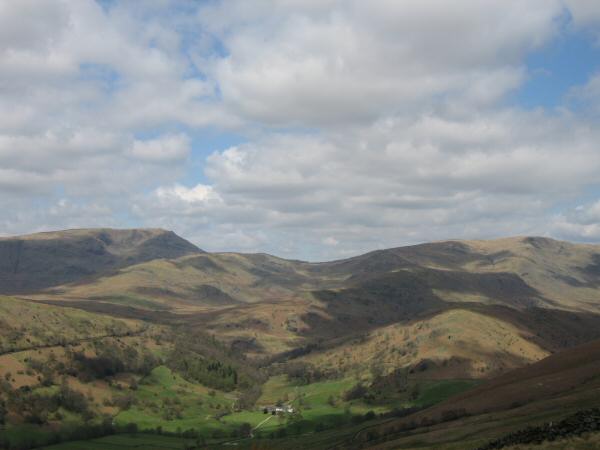
Troutbeck Tongue with Caudale Moor on the left and the Ill Bell ridge (Thornthwaite Crag, Froswick, Ill Bell and Yoke) on the right
Wansfell
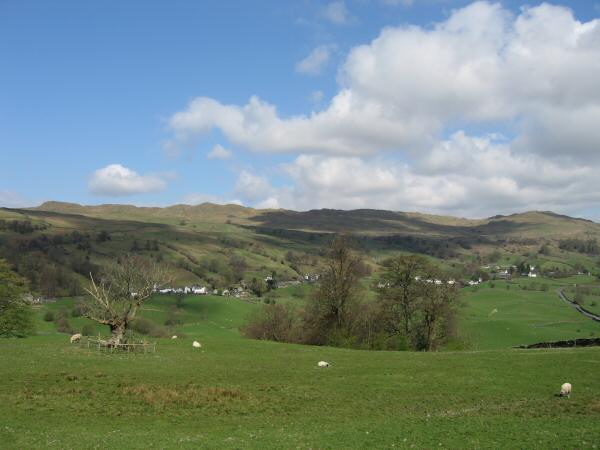
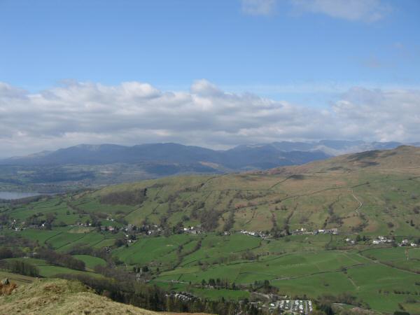
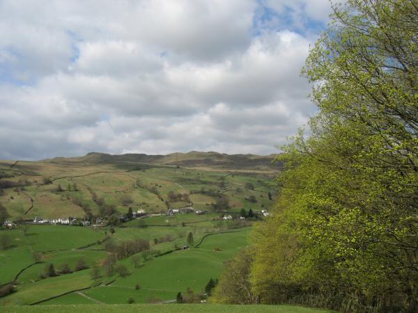
The village of Troutbeck on the slopes of Wansfell
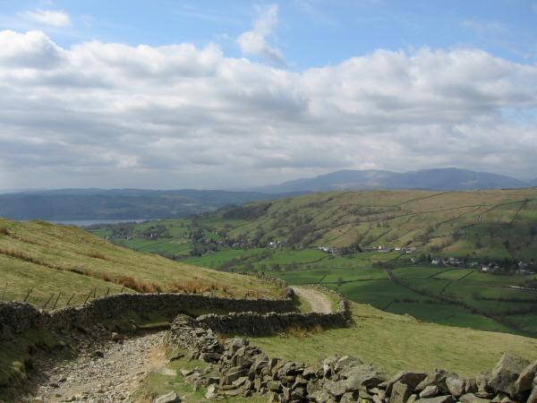
Looking back down the Garburn Road
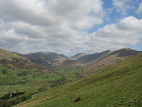
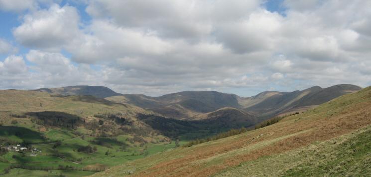
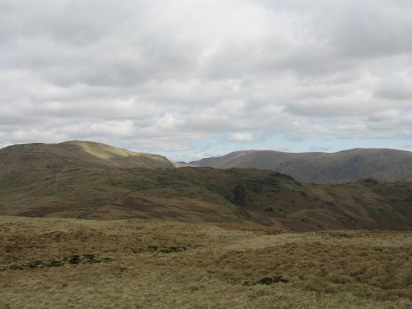
Caudale Moor, Troutbeck Tongue and the Ill Bell ridge from the ascent of Sour Howes
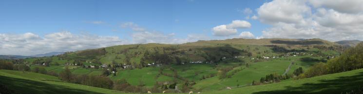
Wansfell from Applethwaite Common
Skyline: Red Screes, St Raven's Edge, Caudale Moor, Thresthwaite Mouth, Thornthwaite Crag, Froswick, Ill Bell and Yoke
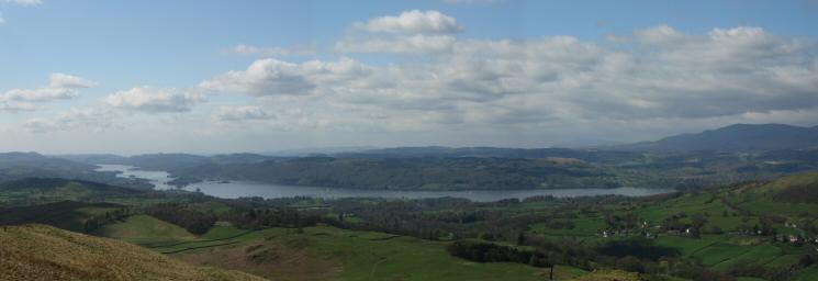
Windermere from Sour Howes
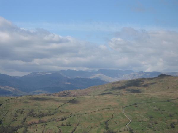
The Coniston and Langdale fells from Sour Howes
Looking over Wansfell Pike to the Langdale fells
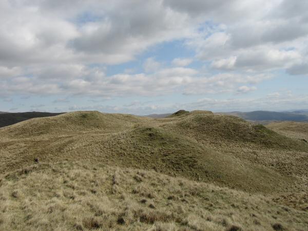
The top of Sour Howes
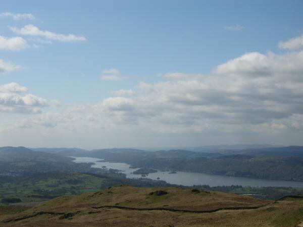
Windermere from Sour Howes summit
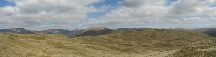
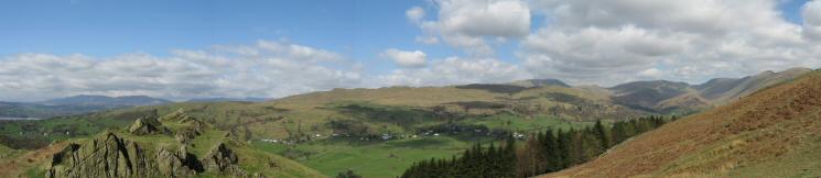
Northerly panorama from Sour Howes summit
Sallows from Sour Howes
Yoke, Harter Fell and Kentmere Pike from Sallows summit
Red Screes and Caudale Moor
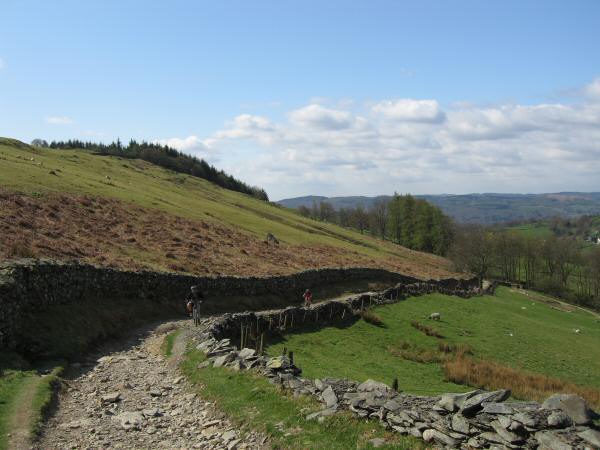
The Garburn Road
The Garburn Road
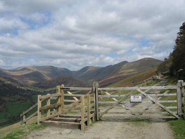
A locked gate and motorbike traps to stop the 4x4s and scramblers using the Garburn Road without a permit
Wansfell Pike from the Garburn Road
Previous Walk: The spine of the central fells (Sat 29 Apr 2006)