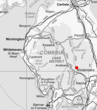
Sour Howes
Height: 483m/1,584ft
Grid Reference: NY428032
Lists: FRCC (195) Wainwright (FE.33)
Ascents: 4
Wainwright's Far Eastern Fells guide book published in 1957 states Sour Howes's height as 1,568ft but the OS 1:25,000 map now records 483m (1,584ft)
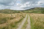
Sat 16 Aug 2008 - Sallows and Sour Howes
Ullthwaite Bridge - Kentmere Tarn - Kentmere Hall - Crabtree Brow - Garburn Pass - Sallows - Sour Howes - Capple Howe - Ullthwaite Bridge [7.75 miles 1,500ft ascent]
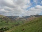
Sun 30 Apr 2006 - Sour Howes and Sallows
Troutbeck Church - Garburn Road - Backstone Barrow - Sour Howes - Sallows - Garburn Nook - Garburn Pass - Garburn Road - Troutbeck Church [4.75 miles 1,400ft ascent]
Tue 9 Sep 2003 - Sour Howes and Sallows
End of Browfoot Lane - Capple Howe - Sour Howes - Moor Head - Sallows - Kentmere Park - End of Browfoot Lane [6.75 miles 1,200ft ascent]
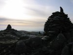
Sun 2 Dec 2001 - Ill Bell ridge
Troutbeck Church - Garburn Road - Backstone Barrow - Sour Howes - Sallows - Garburn Nook - Garburn Pass - Yoke - Ill Bell - Froswick - Thornthwaite Crag - Scot Rake - Troutbeck Tongue - slate bridge - Troutbeck Park Farm - Hagg Bridge - Ing Bridge - Ing Lane - A592 - Troutbeck Church [12.50 miles 3,500ft ascent]