Black Crag and Holme Fell
Sat 8 Apr 2006
Route: Tarn Hows Carpark - Tarn Hows - Iron Keld Plantation - Black Fell (Black Crag) - Low Arnside - Hollin Bank - Tongue Intake - Oxen Fell High Cross - northeast ridge - Uskdale Gap - Holme Fell - Uskdale Gap - Harry Guards Wood - Yew Tree Tarn - Glen Mary Bridge - Tom Gill Waterfall - Tarn Hows - Tarn Hows Carpark
Distance: 6.50 miles
Ascent: 1,500ft
Time: 3 hours 10 minutes
With: Anne
Notes:
Windy on the tops, heavy hail showers and some sunny intervals
© Crown copyright. All rights reserved. Licence number AL100038401
Tarn Hows
Tarn Hows
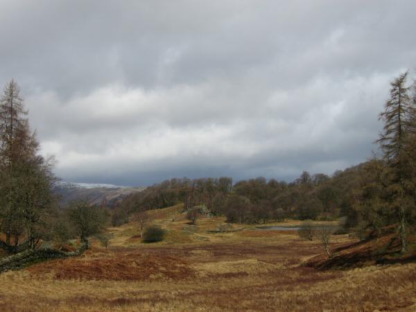
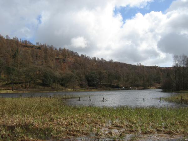
High Arnside Tarn (right middle)
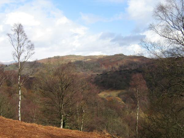
The path through what was Iron Keld Plantation
The view north from Black Crag's summit with snow on the high fells
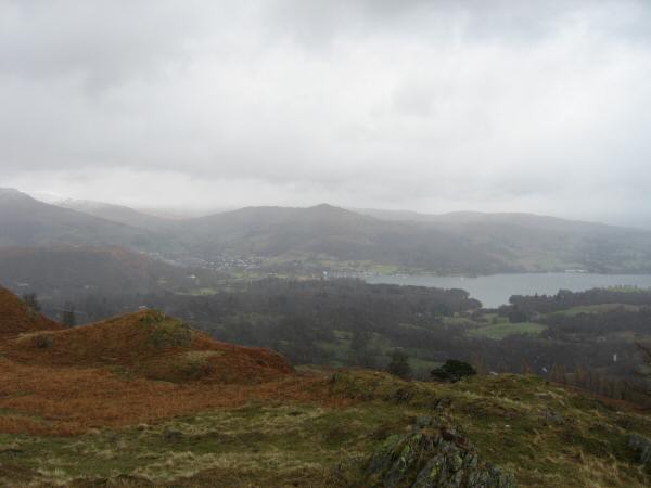
Looking down on Ambleside and the head of Windermere from Black Crag's summit
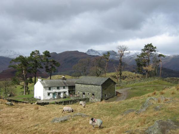
Low Arnside, the dark fell is Lingmoor Fell with snow on the Langdale Pikes behind
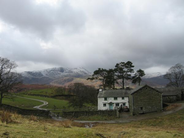
Low Arnside with Wetherlam behind
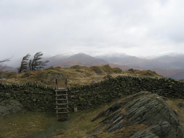
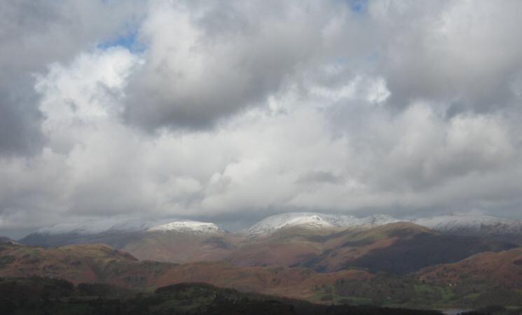
Snow on the Helvellyn and Fairfield fells from the northeast ridge of Holme Fell
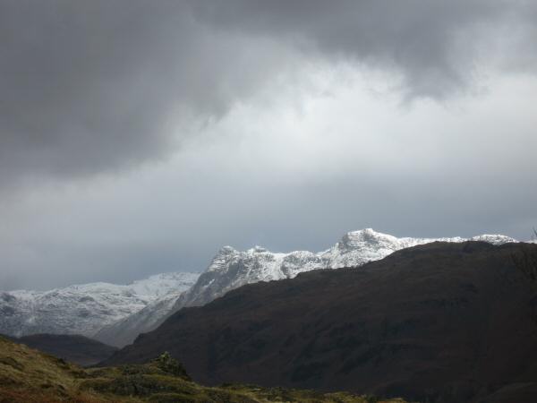
Zooming in on the Langdale Pikes
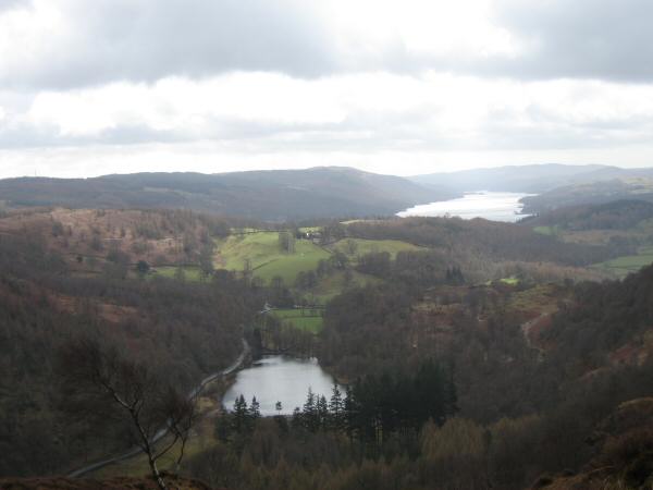
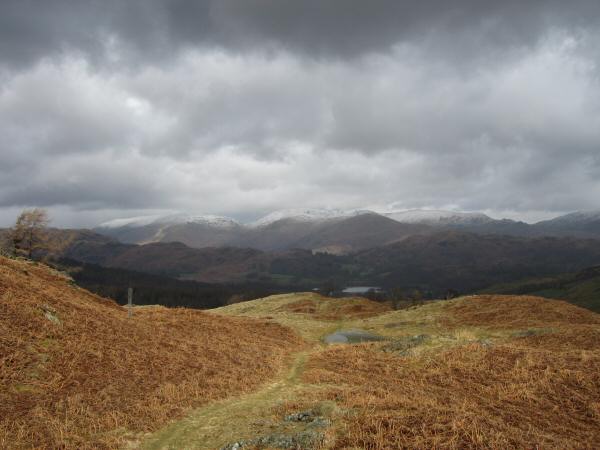
Yew Tree Tarn and Coniston Water from Holme Fell's northeast ridge
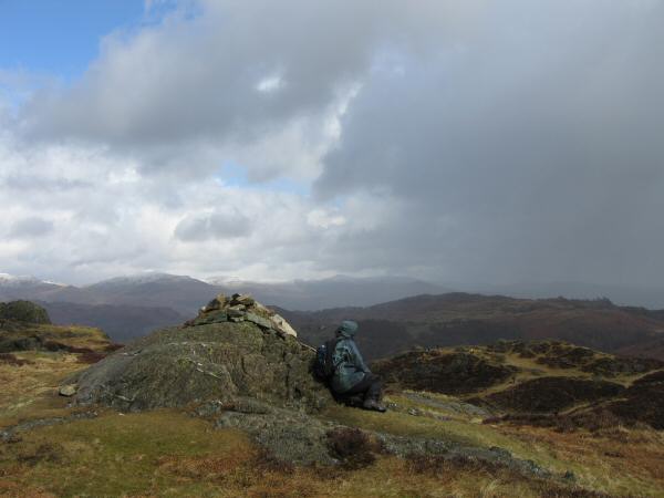
Holme Fell's summit
The Helvellyn and Fairfield fells from Holme Fell
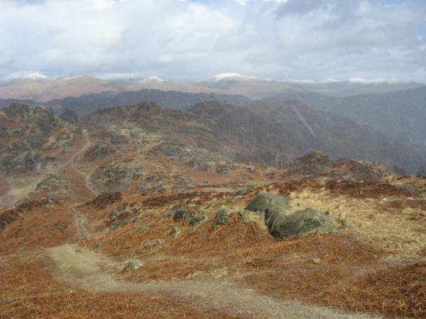
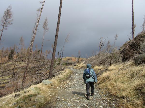
Hit by another heavy hail shower as we descend to Uskdale Gap
Black Crag from the descent from Uskdale Gap
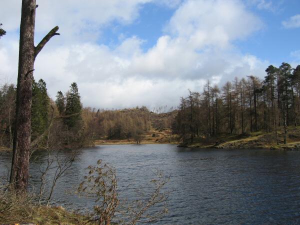
Yew Tree Tarn
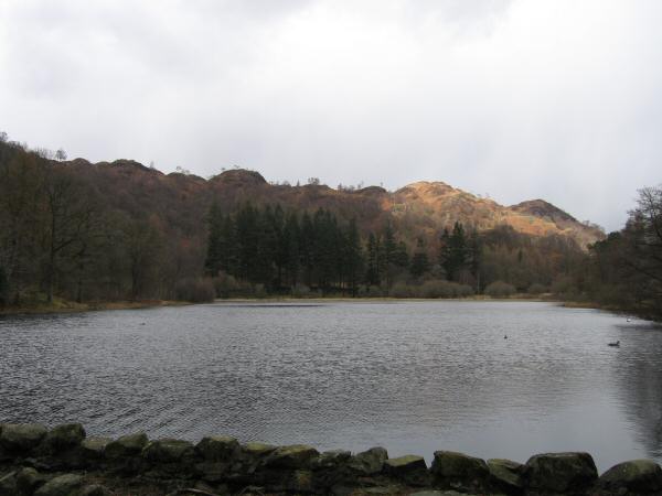
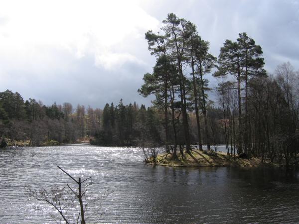
Yew Tree Tarn from its dam
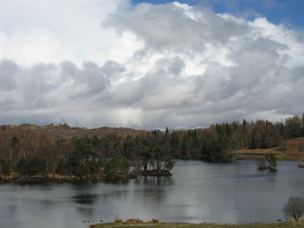
Tarn Hows
Previous Walk: Back o'Skidda Circuit (Sat 1 Apr 2006)
Next Walk: Skiddaw plus (Sun 9 Apr 2006)