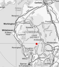
Coniston Old Man, Brim Fell and Swirl How
Sun 19 Mar 2006
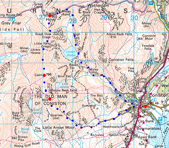
Route: Coniston village - Walna Scar Road, fell gate - Boo Tarn - south ridge - Coniston Old Man - Brim Fell - Levers Hawes - Swirl How - Prison Band - Swirl Hawes - Levers Water - Coniston Coppermines Valley - Coniston village
Distance: 8.25 miles
Ascent: 2,900ft
Time: 5 hours 5 minutes
With: Anne
Notes:
Snow at all levels, overcast at the beginning and end of the walk but sunny intervals in the middle
© Crown copyright. All rights reserved. Licence number AL100038401
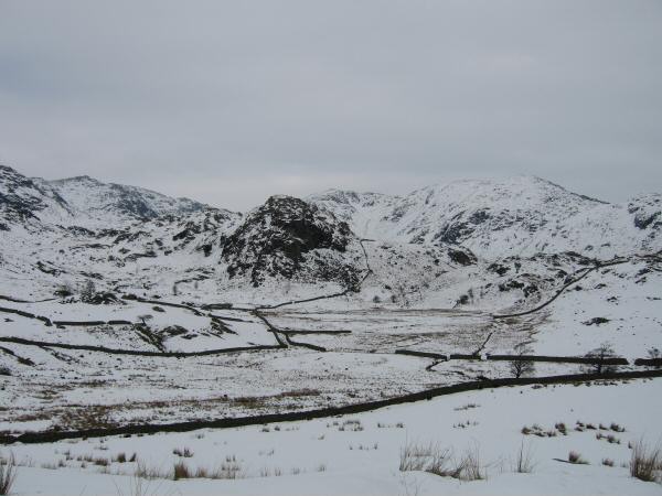
The Bell with Wetherlam behind from near the Fell Gate (Walna Scar Road)
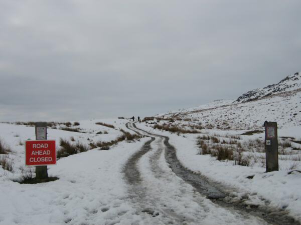
The Walna Scar Road
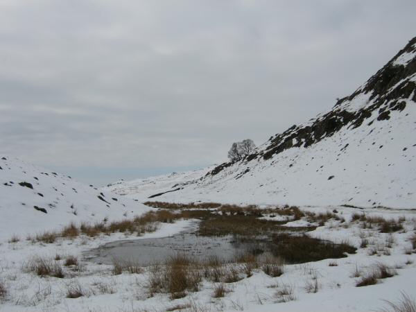
Boo Tarn
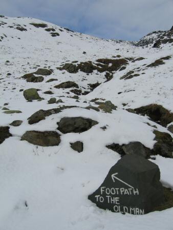
Start of the footpath up the Old Man
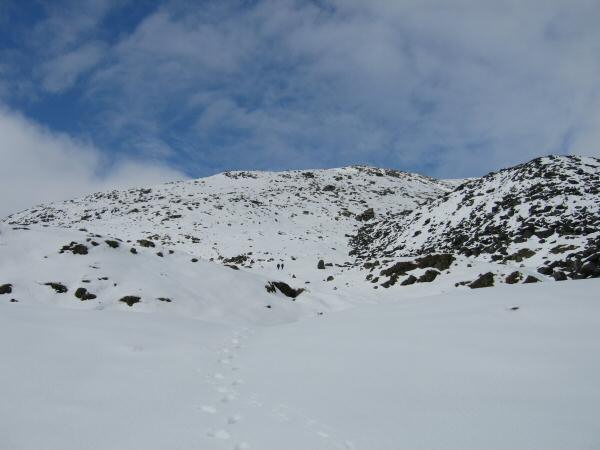
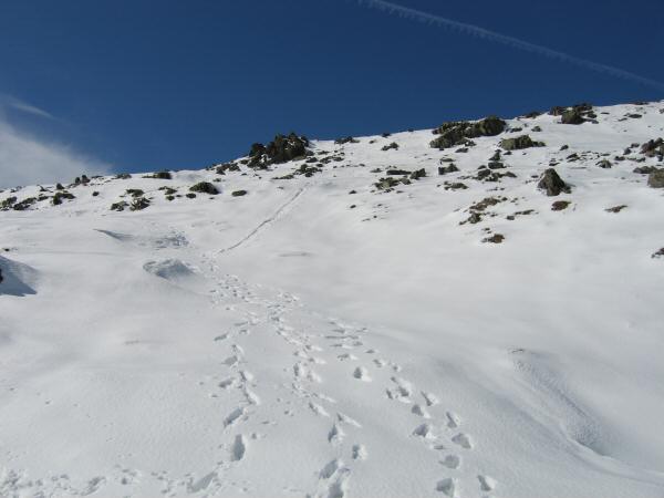
On the ascent, no obvious path so it was a case of picking you own line
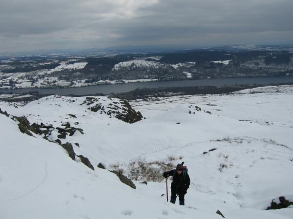
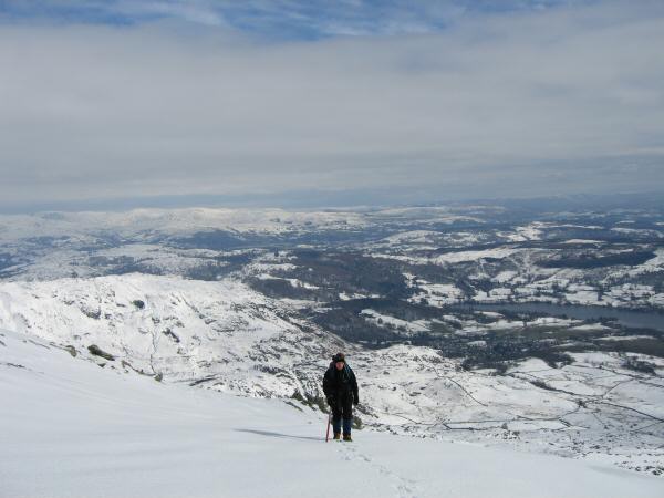
Ascending Coniston Old Man with Coniston Water below
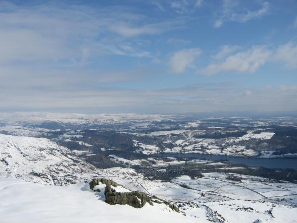
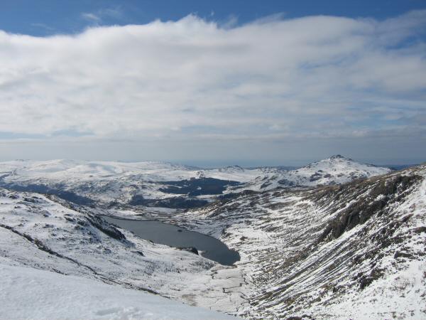
Coniston Village and the head of Coniston Water
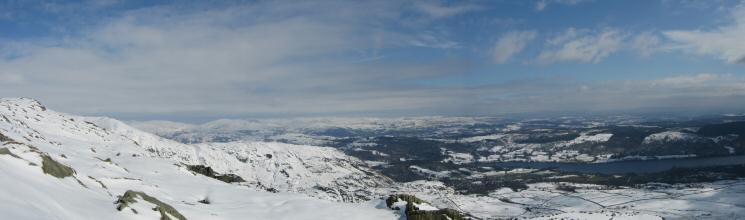
An easterly panorama from the ascent of Coniston Old Man
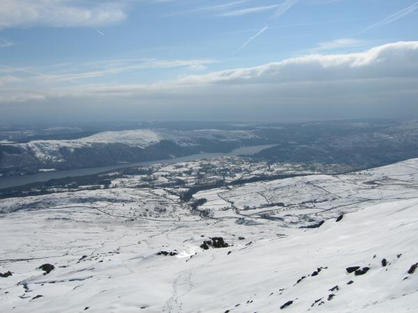
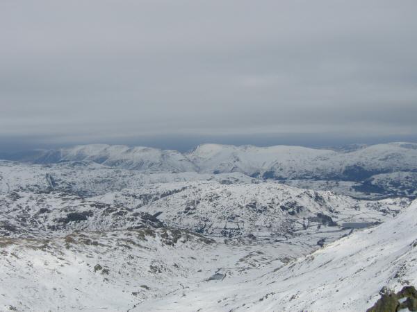
The view south from the ascent from Coniston Old Man
The way ahead
The hard works over but still not the top
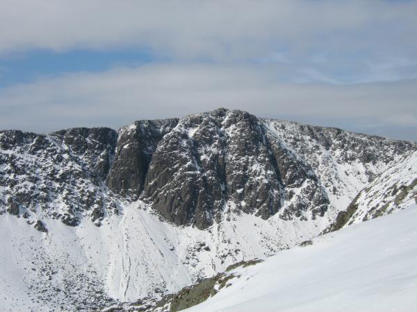
Dow Crag from Coniston Old Man's south ridge
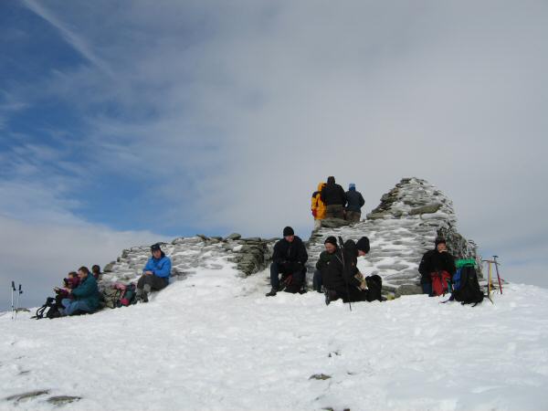
Coniston Old Man's summit
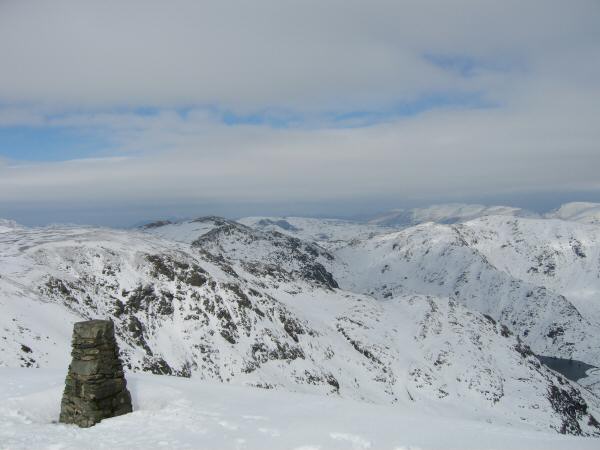
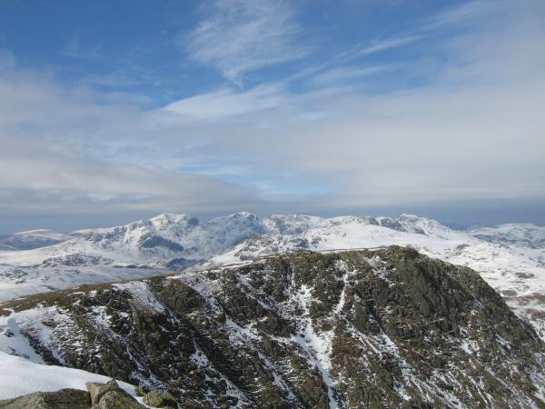
The Scafells from Coniston Old Man's trig point
Brim Fell, Swirl How, Wetherlam and Levers Water from Coniston Old Man's summit
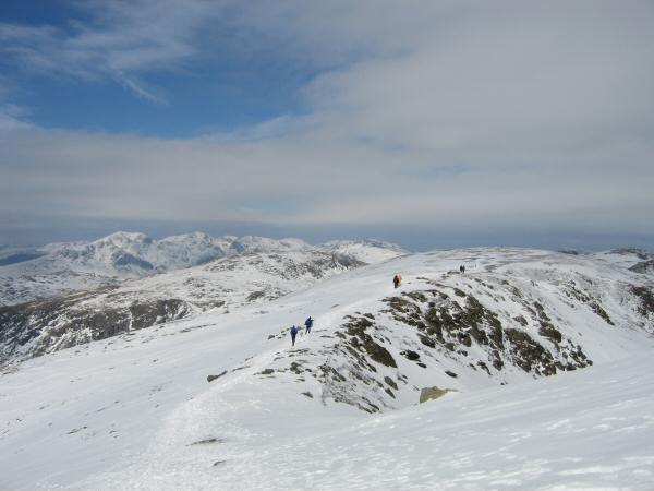
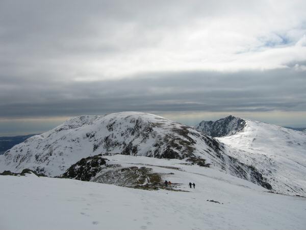
Walkers heading for Brim Fell
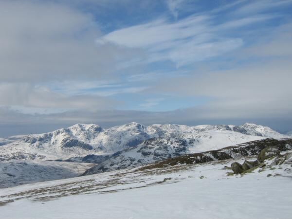
The Scafells from a very icy Brim Fell
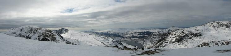
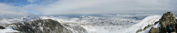
Northerly panorama from Brim Fell
Seathwaite Tarn with Harter Fell on the right
Brim Fell to Grey Friar
Looking back to Brim Fell with Dow Crag on the right
The Scafells and Bowfell from the ascent of Swirl How
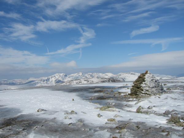
Looking over Great Carrs to the Scafells from Swirl How's summit
The view north east to the Helvellyn ridge and Fairfield fells from Swirl How's summit
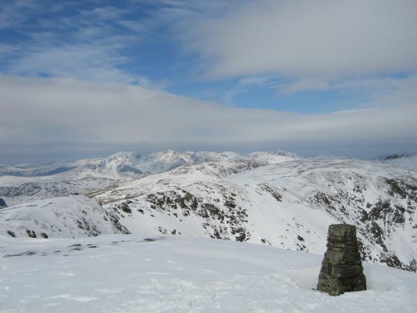
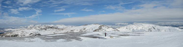
Northerly panorama from Swirl How's summit
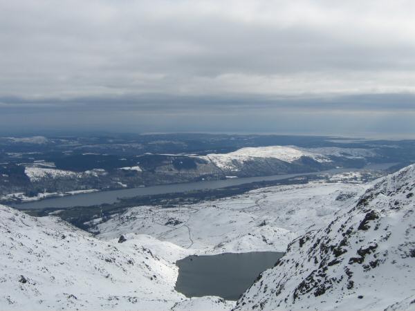
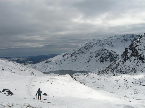
Levers Water and Coniston Water from Prison Band
Heading for Levers Water
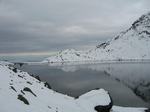
Levers Water
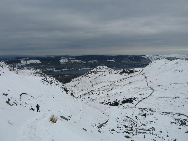
Coniston Coppermines Valley
Previous Walk: Pike O'Blisco, Cold Pike and Crinkle Crags (Sat 18 Mar 2006)
Next Walk: Langdale Pikes (Wed 22 Mar 2006)