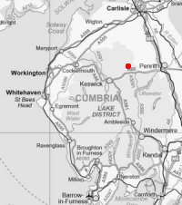
Blencathra from Mungrisdale
Sun 29 Jan 2006
Route: Mungrisdale - Souther Fell - Scales Fell - Blencathra - Atkinson Pike - Mungrisdale Common - Glenderamackin Col - Bannerdale Crags - Bowscale Fell - east ridge - Mungrisdale
Distance: 10.75 miles
Ascent: 2,900ft
Time: 5 hours
With: Anne
Notes:
Glorious. A hard frost, blue skies, sunshine and no wind
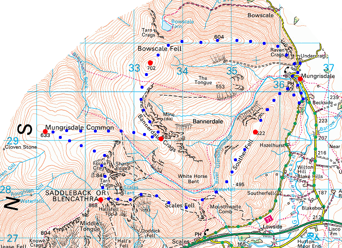
© Crown copyright. All rights reserved. Licence number AL100038401
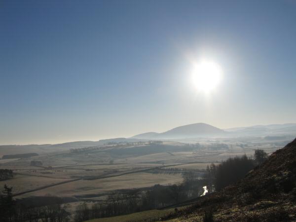
Great Mell Fell from above Mungrisdale as we head up Souther Fell
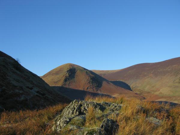
Looking across to The Tongue which leads onto Bowscale Fell
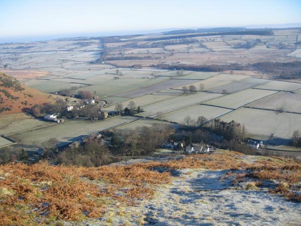
Looking back down on Mungrisdale as we gain height on the ridge
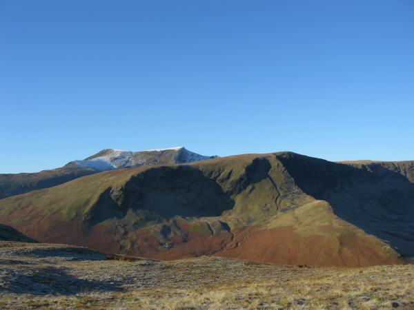
Bannerdale Crags with Blencathra behind from Souther Fell's summit
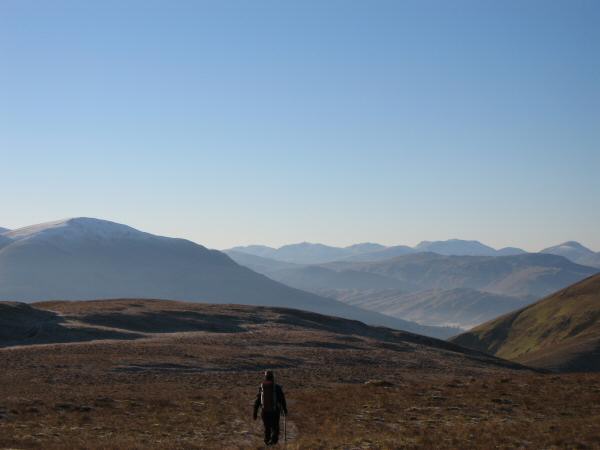
Heading south along Souther fell's broad top. Clough Head on the left, Crinkle Crags to Great Gable on the skyline
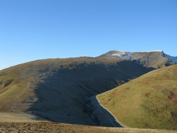
Scales Fell leading onto Blencathra with White Horse Bent on the right
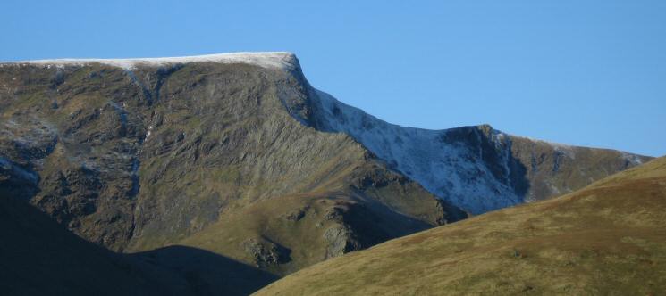
Zooming in on Sharp Edge and Foule Crag
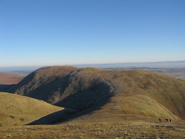
Looking back to Souther Fell from Scales Fell
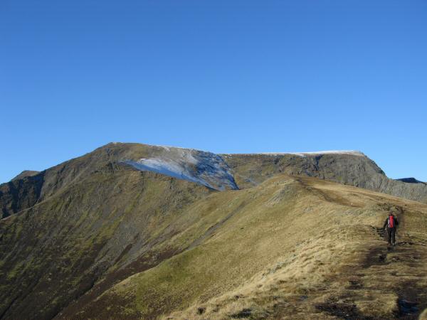
Heading up Scales Fell
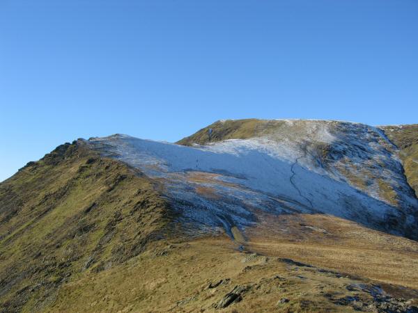
The top part of Scales Fell with Doddick Fell joining from the left
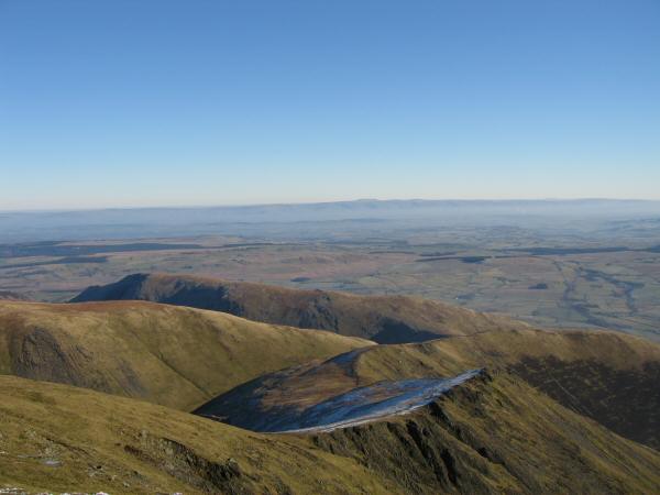
Looking back down on Scales Fell and Souther Fell from Blencathra's summit with the North Pennines in the distance across the Vale of Eden
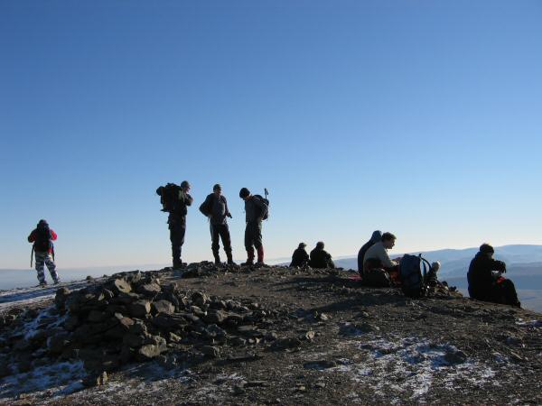
Hallsfell Top, Blencathra's summit
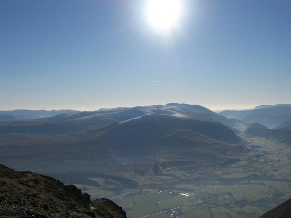
The view south, the Dodds leading to Helvellyn from Blencathra's summit
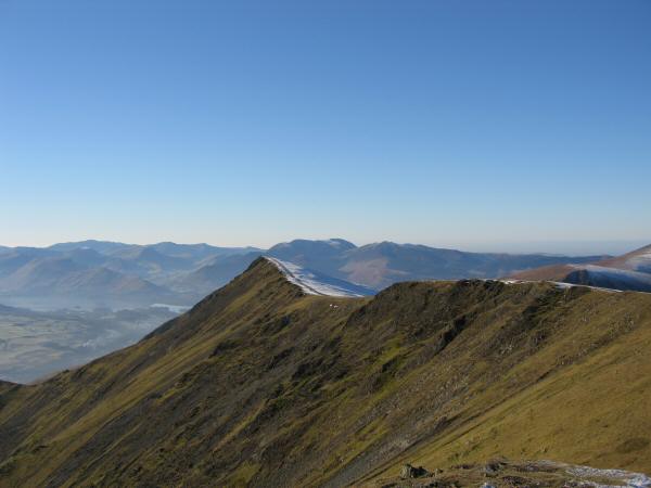
Gategill Fell Top with the north western fells behind from Hallsfell Top
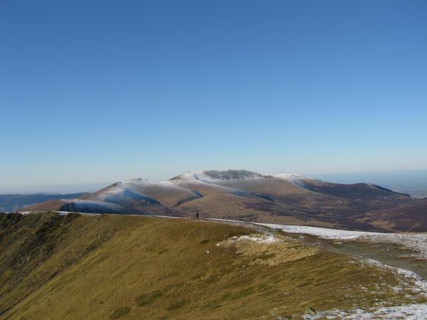
The Skiddaw fells from Blencathra's summit

180 Westerly panorama from Blencathra's summit
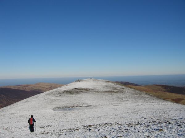
Heading for Atkinson Pike, Blencathra's northern most top
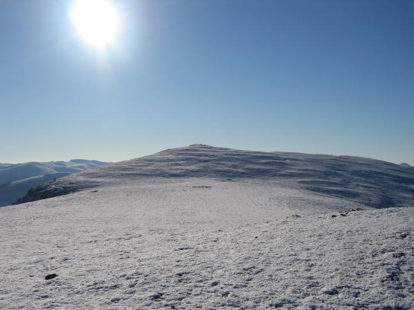
Blencathra's summit from Atkinson Pike

The flat topped Mungrisdale Common from below Blue Screes
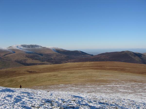
Mungrisdale Common with Skiddaw on the left and Great Calva on the right
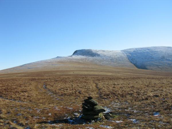
Looking back to Blencathra from Mungrisdale Common's 'summit'

180 North Westerly panorama from Mungrisdale Common's summit
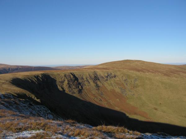
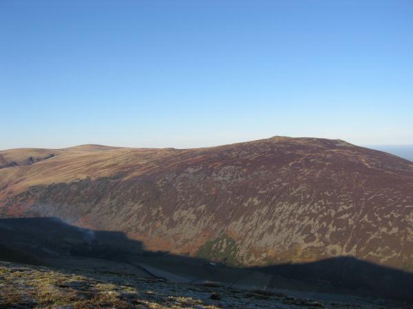
Bowscale Fell from Bannerdale Crags
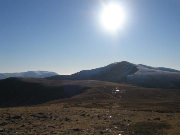
Blencathra from Bowscale Fell's summit
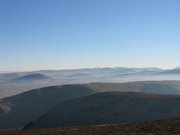
Looking over The Tongue and Souther Fell to the High Street ridge
Carrock Fell with High Pike on the far left
Previous Walk: Helvellyn from Swirls (Sat 28 Jan 2006)
