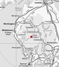
Scafell Pike from Seathwaite
Sat 4 Feb 2006
Route: Seathwaite, Borrowdale - Stockley Bridge - Grains Gill - Esk Hause - Great End - Ill Crag - Broad Crag - Scafell Pike - Lingmell - Corridor Route - Sty Head - Styhead Tarn - Styhead Gill - Stockley Bridge - Seathwaite
Distance: 10.50 miles
Ascent: 3,650ft
Time: 7 hours 40 minutes
With: David & Jennifer Hall and Anne
Notes:
Cloud in the valleys, blue sky and sunshine with the odd cloud on top. Very mild for February and no wind.
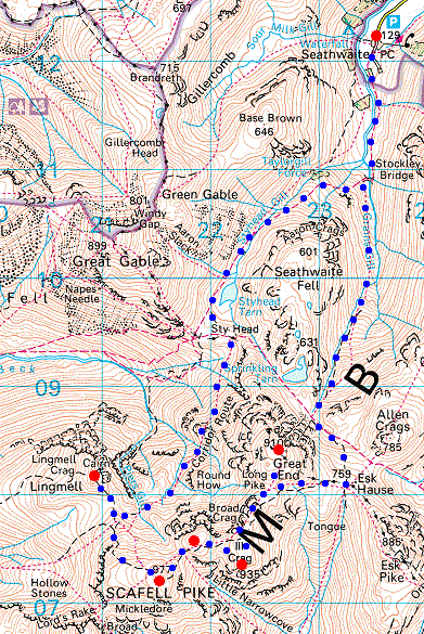
© Crown copyright. All rights reserved. Licence number AL100038401
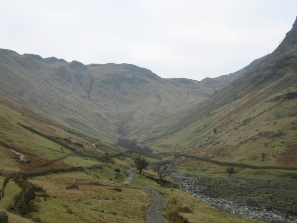
Looking up Grains Gill from near Seathwaite
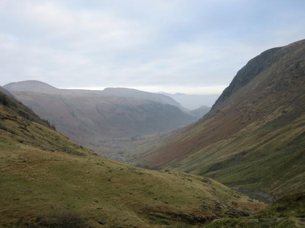
Looking back down Grains Gill
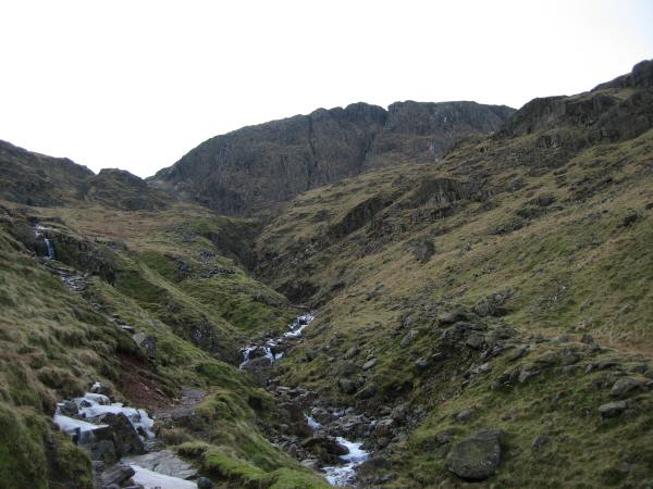
Looking up Ruddy Gill to the cliffs of Great End
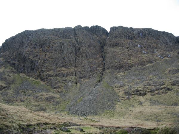
Great End
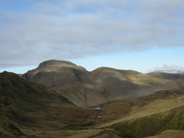
Great Gable and Green Gable from the path to Esk Hause

North westerly panorama from the path to Esk Hause
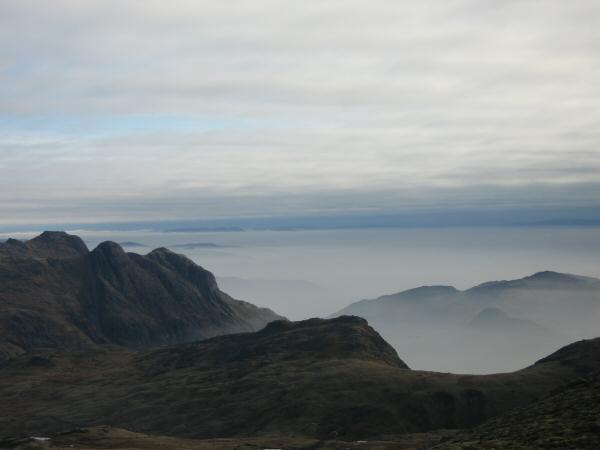
The Langdale Pikes and Langdale under a sea of cloud
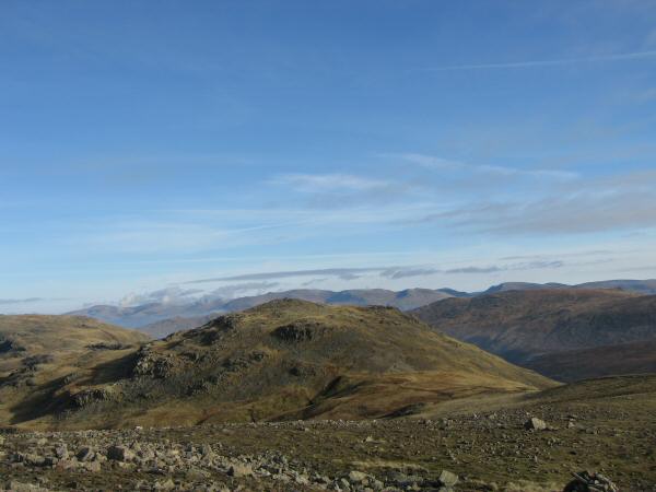
Allen Crags with the Helvellyn ridge beyond
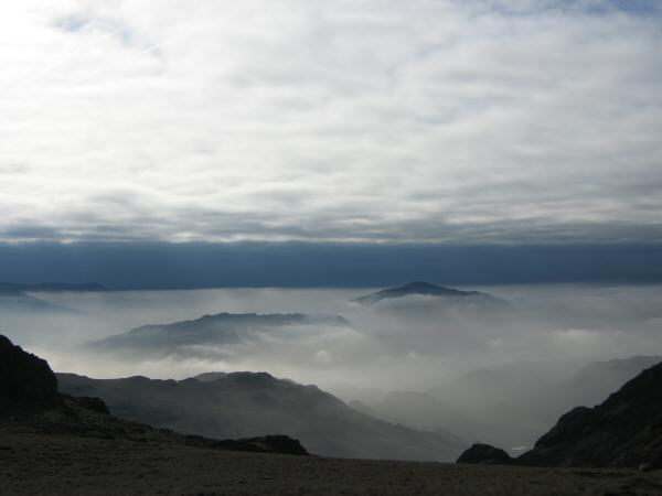
Hard Knott and Harter Fell sticking out of the cloud
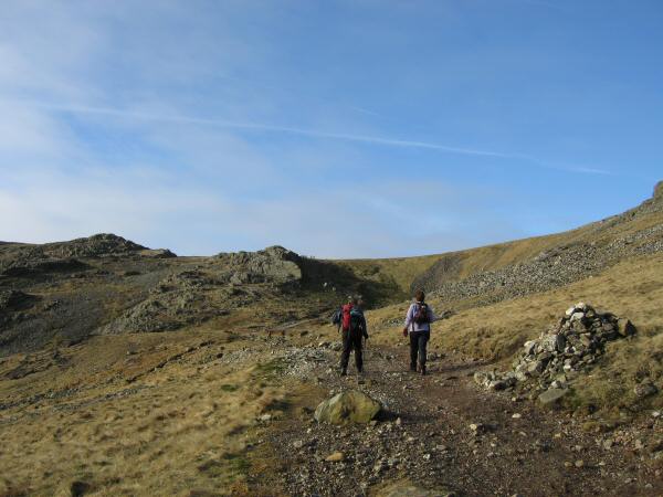
Heading for Calf Cove
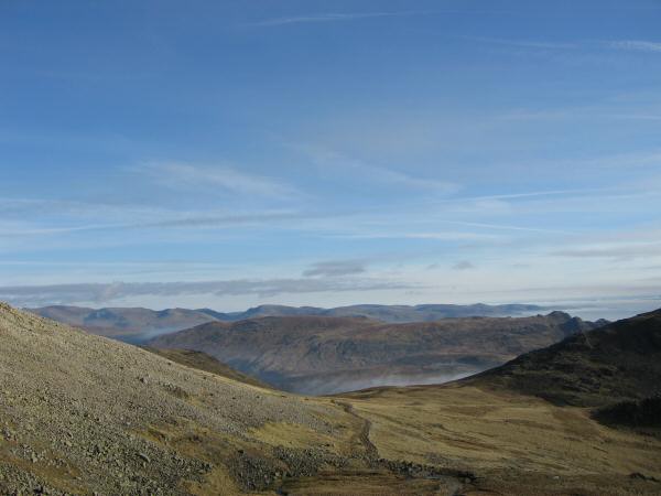
Looking back to Esk Hause with High Raise behind and the Fairfield fells on the skyline
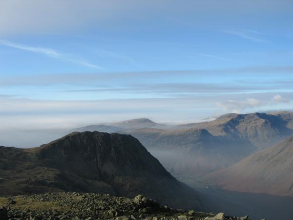
Lingmell from Great End
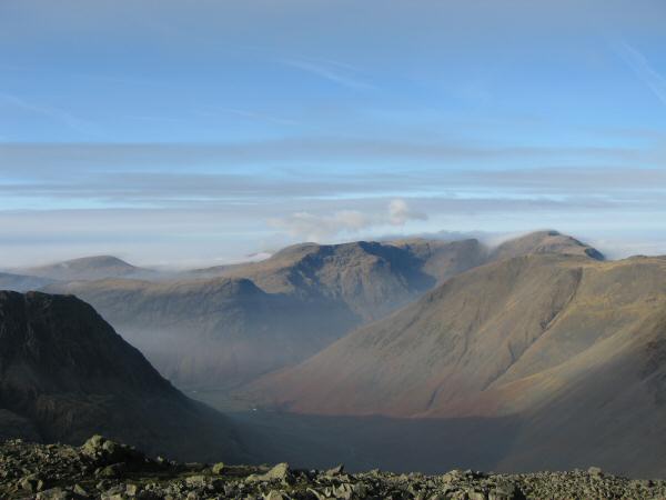
Wasdale Head, Red Pike and Pillar from Great End

Northerly panorama from Great End's summit
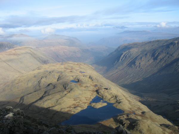
The view north from Great End with Sprinkling Tarn below
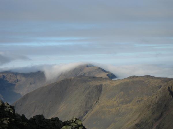
Cloud pouring over Pillar
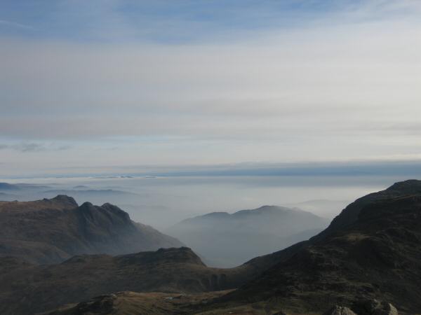
Another shot of the Langdale Pikes and the cloud sea, this time from Great End
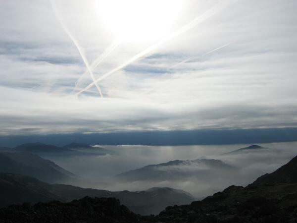
Hard Knott

Eskdale
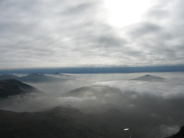
Eskdale with Harter Fell's top just above the clouds

Scafell Pike and Broad Crag from Ill Crag's summit
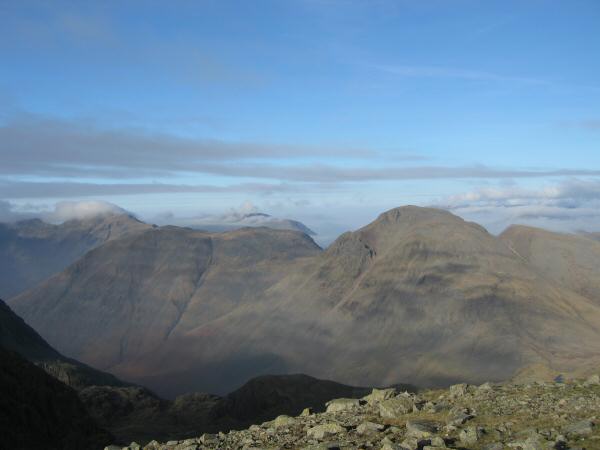
Kirk Fell and Great Gable
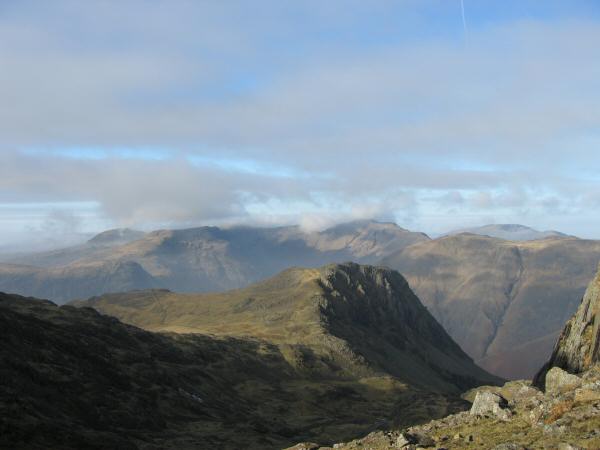
Lingmell from Broad Crag col
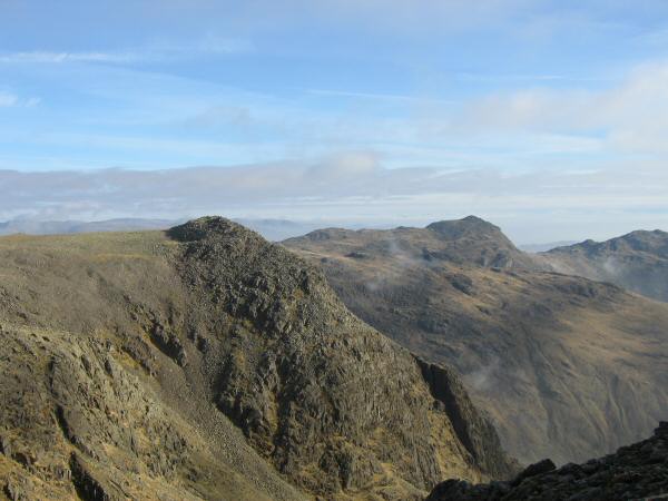
Ill Crag and Bowfell from the ascent of Scafell Pike

North Easterly panorma from Scafell Pike's summit
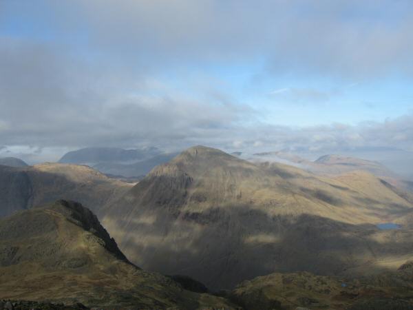
Lingmell and Great Gable with Styhead Tarn on the far right
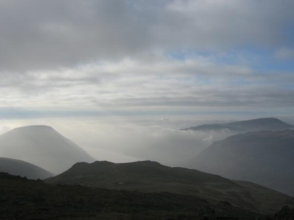
Wasdale from Lingmell's summit with Illgill Head on the left and Seatallan on the right

Great Gable from the Corridor Route
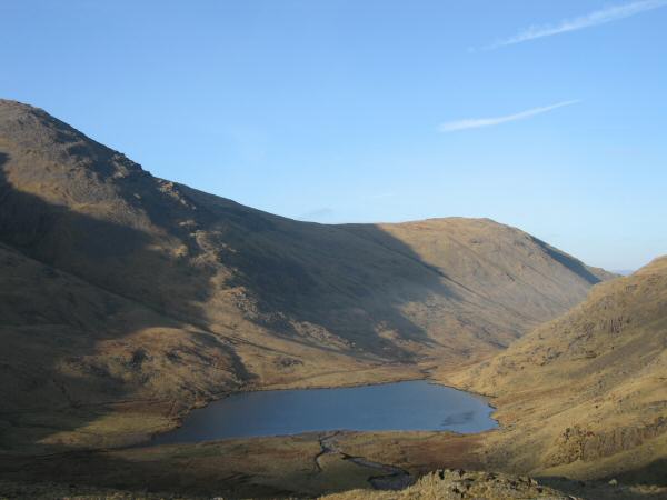
Styhead Tarn, frozen today
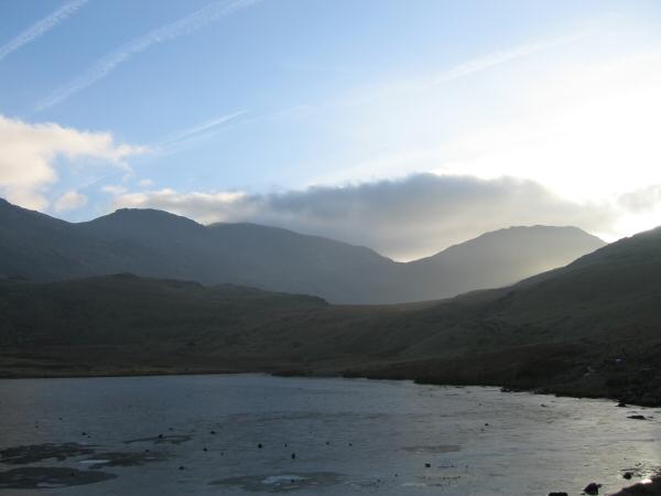
Broad Crag, Scafell Pike and Lingmell from Styhead Tarn
Previous Walk: Blencathra from Mungrisdale (Sun 29 Jan 2006)
