High Street from Mardale Head
Mon 2 Jan 2006
Route: Mardale Head - Haweswater - Riggindale - Kidsty Howes - Kidsty Pike - Straits of Riggindale - High Street - Mardale Ill Bell - Nan Bield Pass - Small Water - Mardale Head
Distance: 7.50 miles
Ascent: 2,400ft
Time: 3 hours 45 minutes
With: Anne
Notes:
Cloud building to engulf the high fells. A bit of old snow on the ground high up.
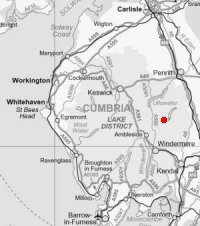
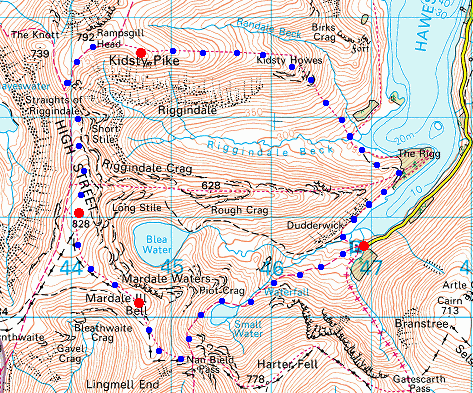
© Crown copyright. All rights reserved. Licence number AL100038401
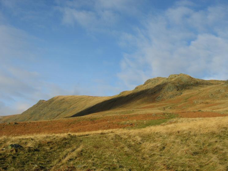
Looking across Riggindale to Kidsty Pike
Speaking Crag, Haweswater
Kidsty Pike and Kidsty Howes
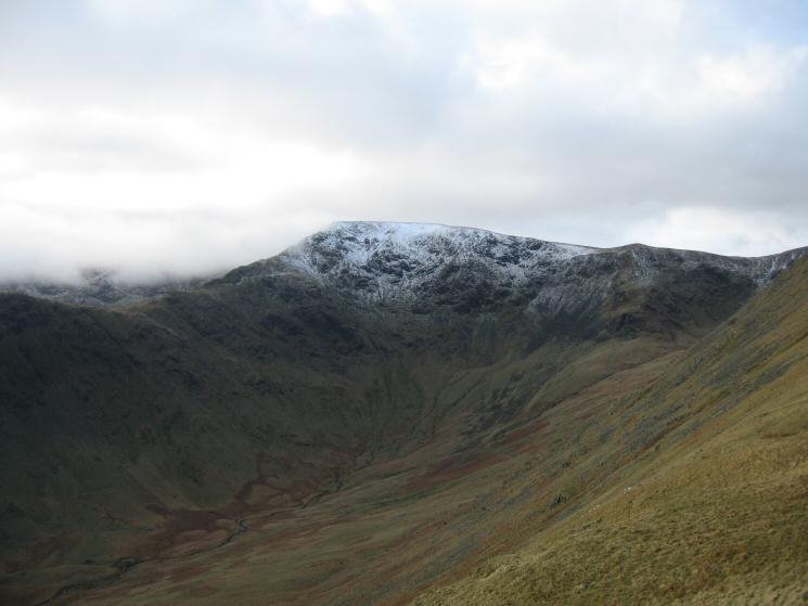
High Street at the head of Riggindale
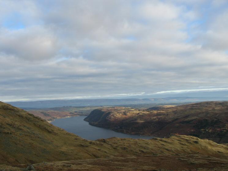
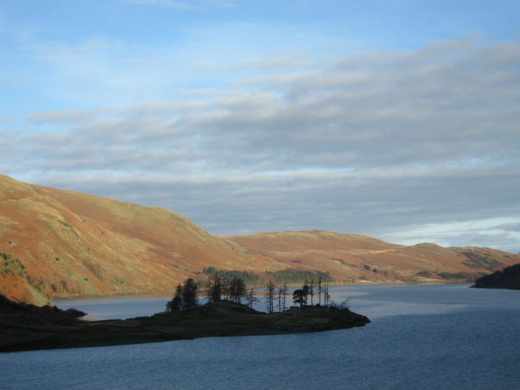
Haweswater and Naddle Forest with the North Pennines in the distance
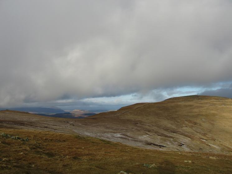
High Raise from Kidsty Pike's summit
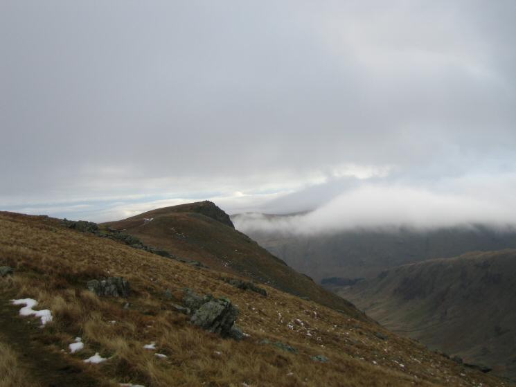
Looking back to Kidsty Pike
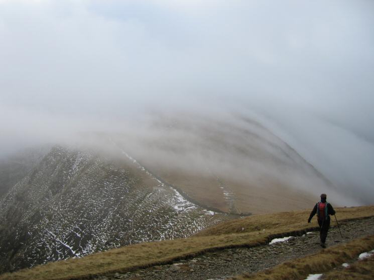
The Straits of Riggindale
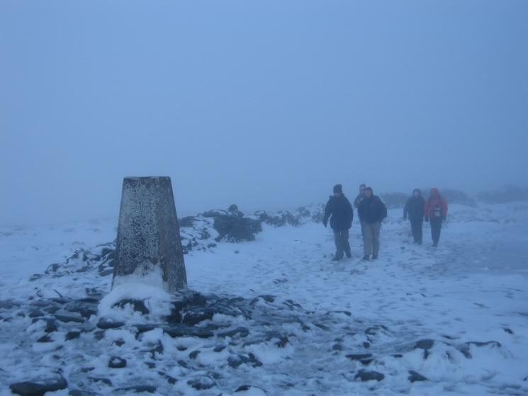
Walkers approaching High Street's summit trig point
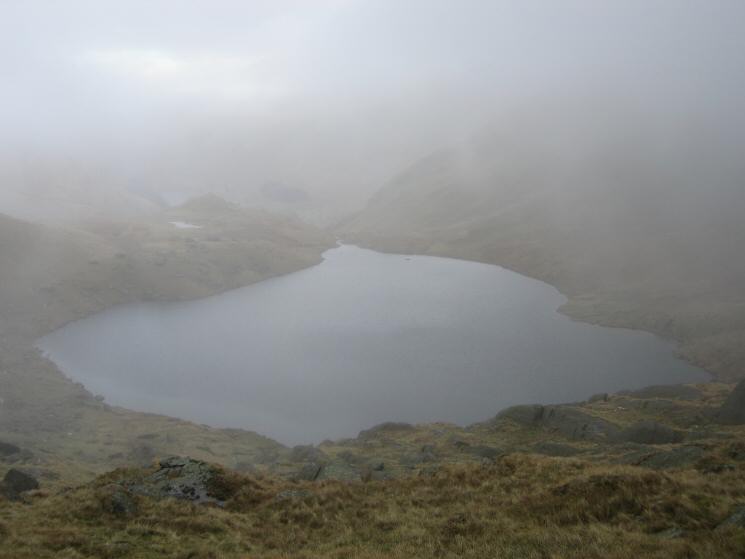
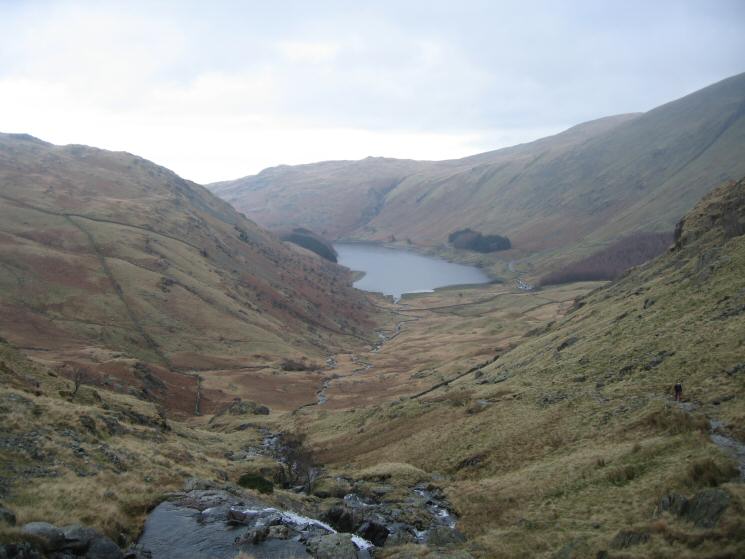
Small Water comes into view as we drop out of the cloud on the descent from Nan Bield Pass
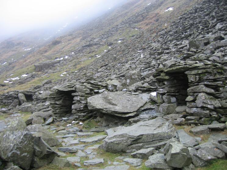
Stone shelters at Small Water
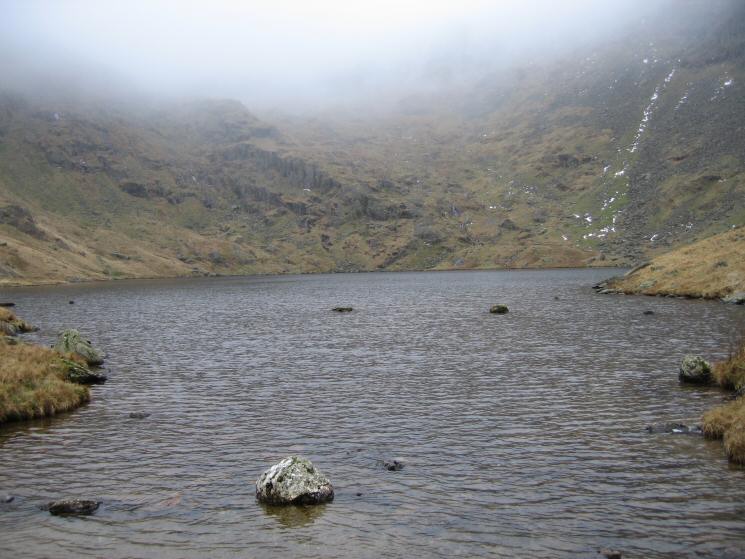
Small Water
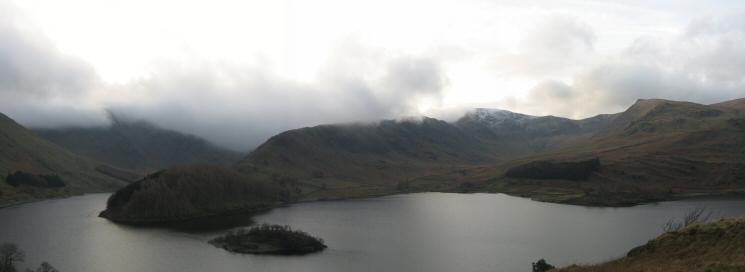
Looking down on Mardale Head
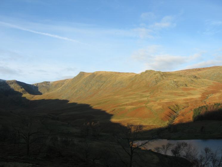
The Rigg and Rough Crag with Kidsty Pike on the right and Harter Fell lost in cloud on the left
Previous Walk: Loughrigg Fell (Sun 1 Jan 2006)
Next Walk: Stonycroft Gill Skyline (Sun 8 Jan 2006)