Stonycroft Gill Skyline
Sun 8 Jan 2006
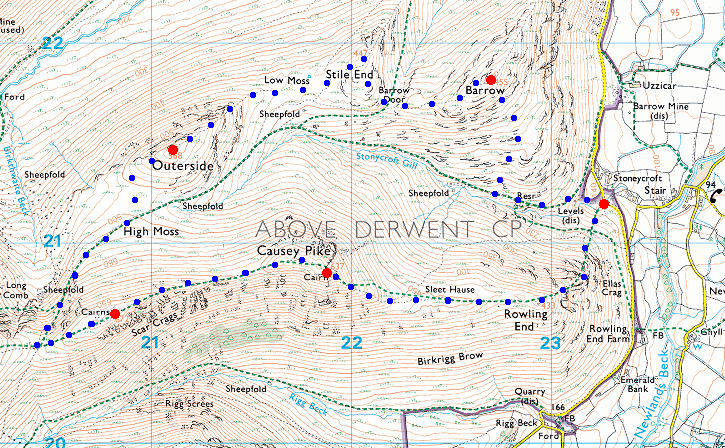
Route: Stonycroft near Stair - Rowling End - Causey Pike - Scar Crags - Sail Pass - High Moss - Outerside - Stile End - Barrow - Stonycroft near Stair
Distance: 5.50 miles
Ascent: 2,700ft
Time: 3 hours 5 minutes
With: Anne
Notes:
Hazy with sunshine for the first half of the walk and then cloud building to become overcast.
© Crown copyright. All rights reserved. Licence number AL100038401
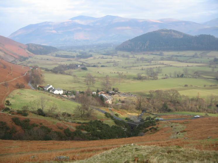
Stonycroft
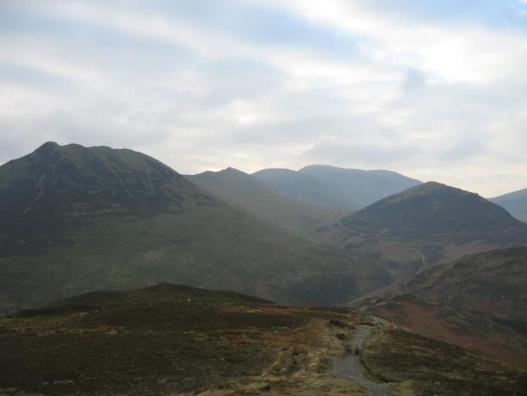
Looking up Stonycroft Gill with Causey Pike on the far left, Outerside and Grisedale Pike in the distance
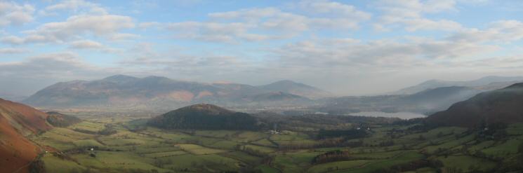
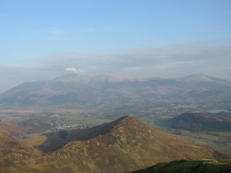
Swinside with the Skiddaw Fells behind on the left and Derwent Water on the right from Rowling End
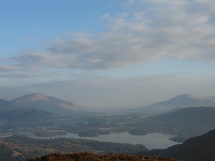
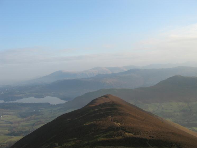
Looking over Derwent Water to Blencathra (left) and Clough Head (right) from Rowling End
Robinson, The High Stile ridge in the distance and Ard Crags from Rowling End
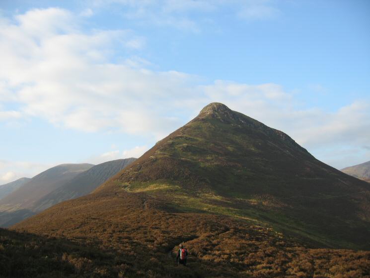
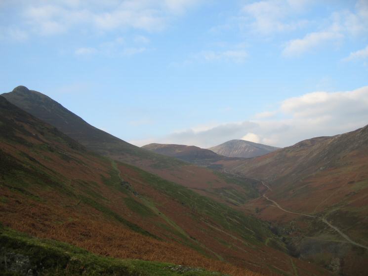
Causey Pike
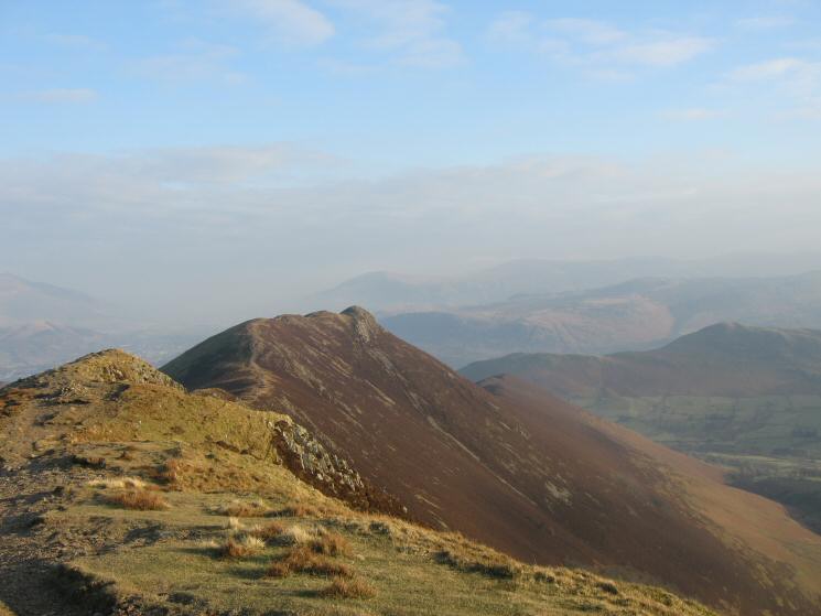
Looking back down on Rowling End from Causey Pike
Barrow from Causey Pike's summit
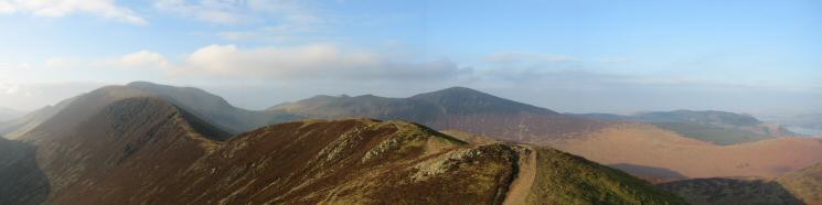
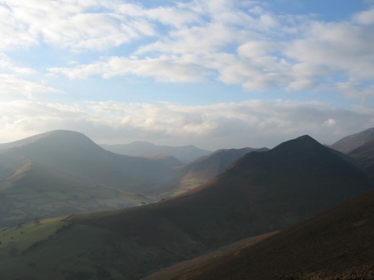
The ridge to Scar Crags from Causey Pike
Scar Crags
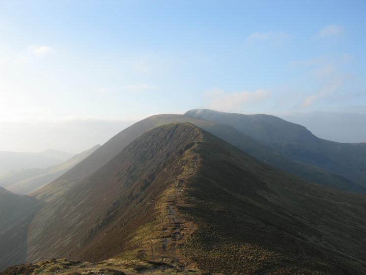
Looking back to Causey Pike from Scar Crags
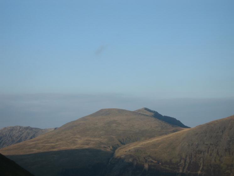
Zooming in on Sand Hill and Hopegill Head
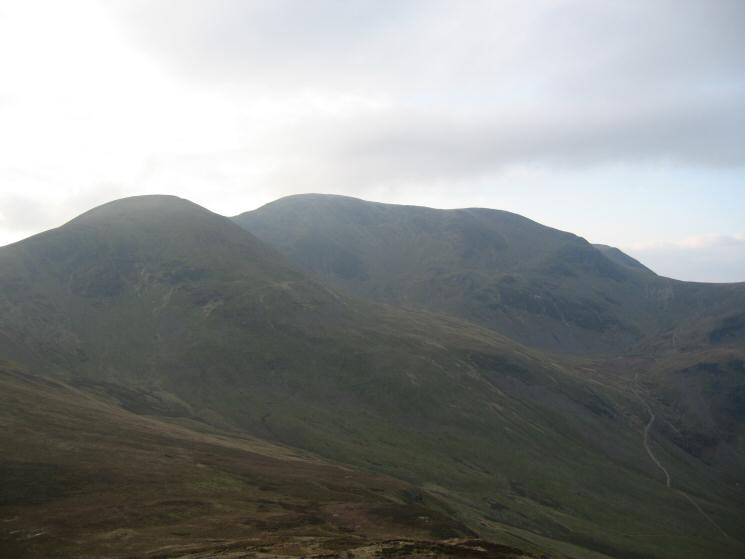
Sail and Crag Hill (Eel Crag) from Outerside with Coledale Hause on the right
Stile End and Barrow from Outerside
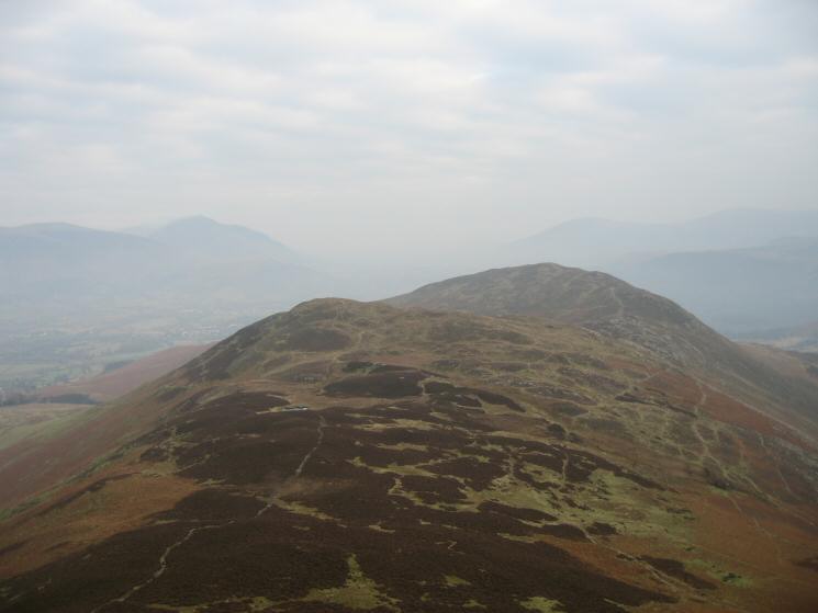
Causey Pike, Scar Crags, Sail, Crag Hill (Eel Crag) and Outerside from Barrow's summit
Previous Walk: High Street from Mardale Head (Mon 2 Jan 2006)
Next Walk: Grange Fell (Sat 14 Jan 2006)