Burnbank Fell, Blake Fell and Gavel Fell
Sun 16 Oct 2005
Route: Fangs Brow - Burnbank Fell - Blake Fell - Gavel Fell - High Nook Farm - Maggie's Bridge - Loweswater Village
Distance: 6.00 miles
Ascent: 1,600ft
Time: 3 hours 40 minutes
With: Anne and Ann Hiley
Notes:
Hazy sunshine, warm
© Crown copyright. All rights reserved. Licence number AL100038401
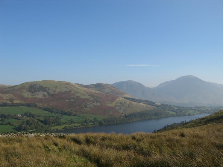
Darling Fell, Low Fell, Whiteside and Grasmoor seen over Loweswater from the Fangs Brow track
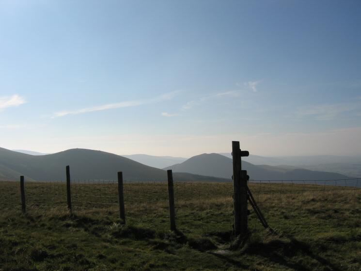
Sharp Knott and Knock Murton from Burnbank Fell's summit
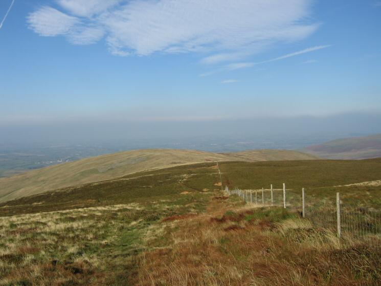
Looking back to Burnbank Fell from the slopes of Blake Fell
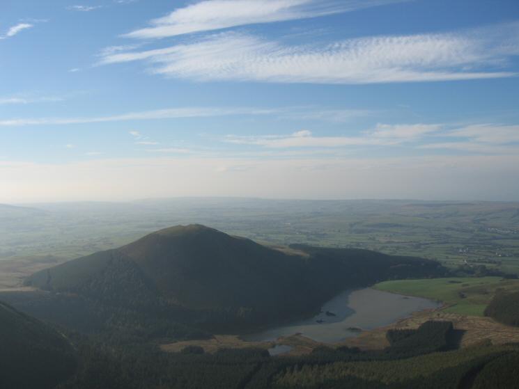
Knock Murton and Cogra Moss from Blake Fell's summit
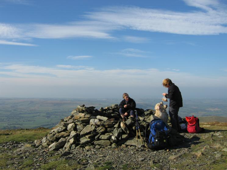
Feeding time, Blake Fell's summit
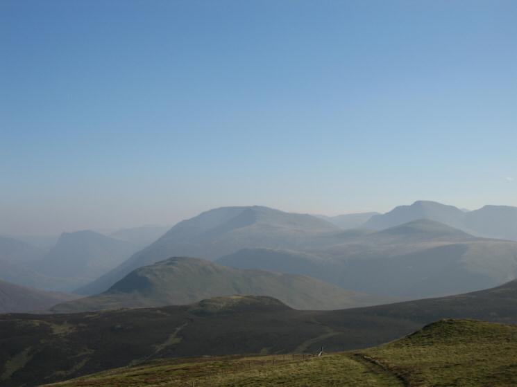
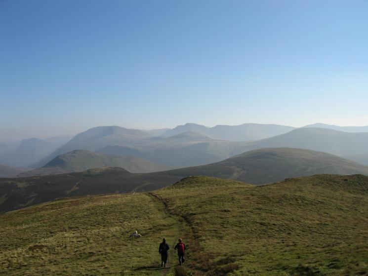
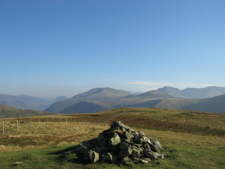
The higher western fells from Blake Fell's summit
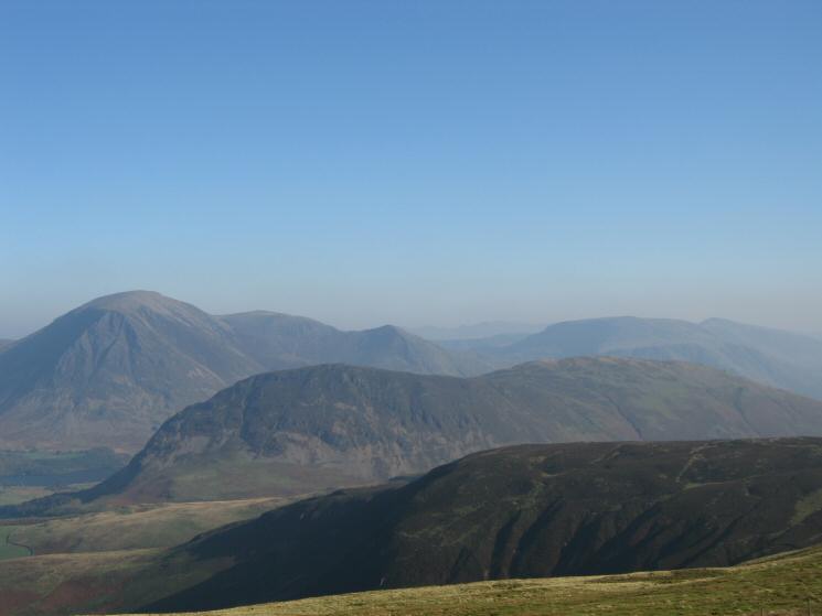
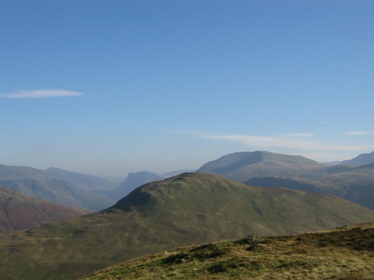
Mellbreak with Grasmoor, Wandope, Whiteless Pike and Robinson behind from Blake Fell
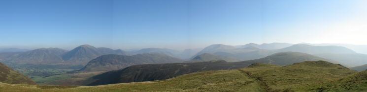
South easterly panorama from Blake Fell's summit
Leaving Blake Fell's summit heading for Gavel Fell
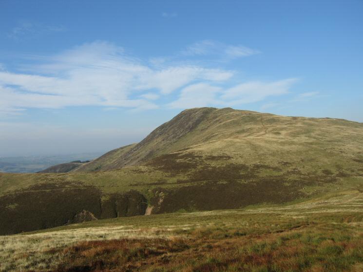
Looking back over Fothergill Head to Blake Fell from our route up Gavel Fell
The western fells from Gavel Fell's summit
Hen Comb with Fleetwith Pike, High Stile and Red Pike behind from Gavel Fell
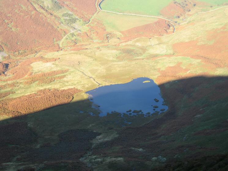
Looking down on High Nook Tarn
Whiteside, Hopegill Head, Grasmoor and Mellbreak's north top from Gavel Fell's northeast ridge
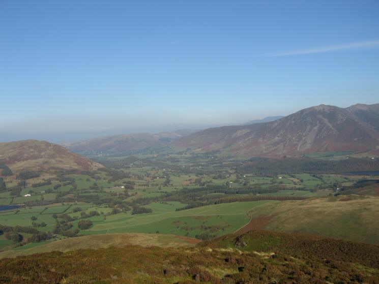
The Vale of Lorton from Gavel Fell's northeast ridge
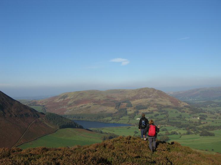
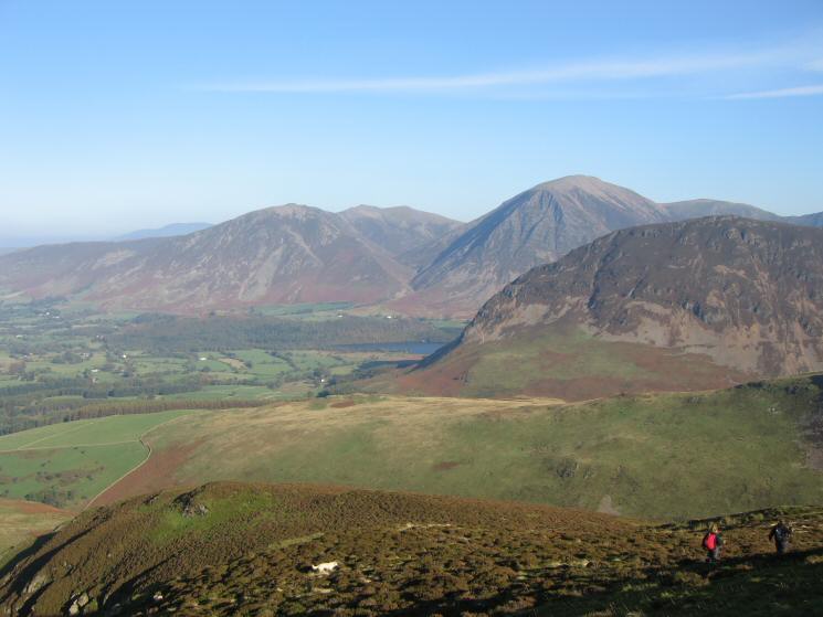
Descending Gavel Fell's northeast ridge with Loweswater, Darling Fell and Low Fell in front
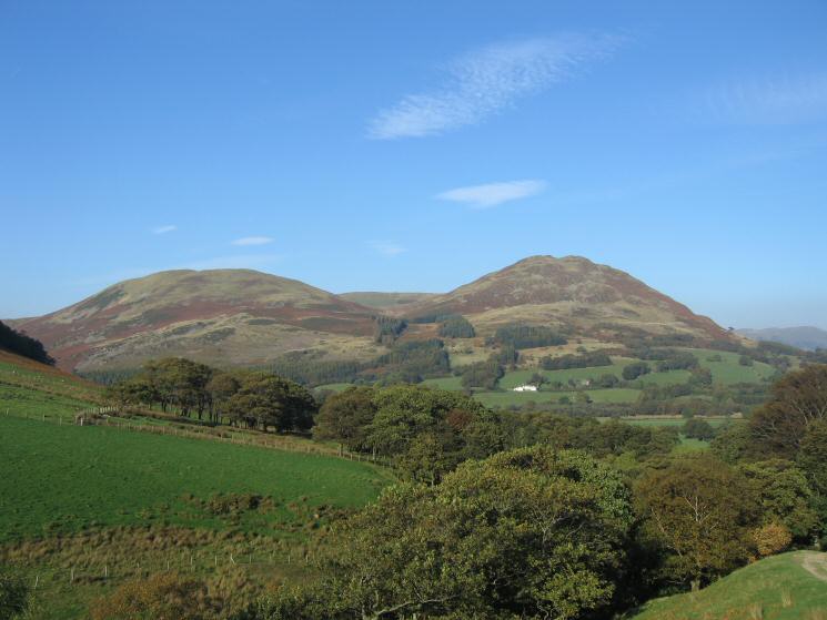
Darling Fell and Low Fell from above High Nook Farm
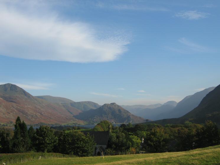
Looking over Loweswater church to Rannderdale Knotts
Previous Walk: Bakestall, Skiddaw and Burnt Horse (Sat 15 Oct 2005)
Next Walk: The Esk Hause Fells (Sat 22 Oct 2005)