The Esk Hause Fells
Sat 22 Oct 2005
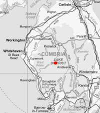
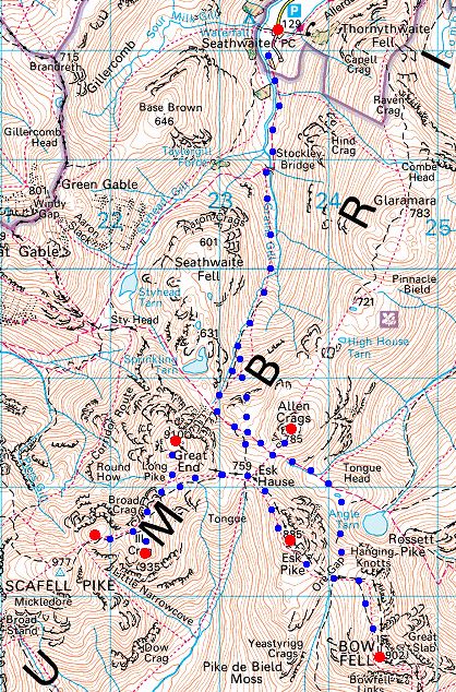
Route: Seathwaite, Borrowdale - Stockley Bridge - Grains Gill - Esk Hause - Great End - Broad Crag - Ill Crag - Esk Hause - Esk Pike - Ore Gap - Bowfell - Ore Gap - Lower Esk Hause - Allen Crags - Lower Esk Hause - Grains Gill - Stockley Bridge - Seathwaite
Distance: 11.75 miles
Ascent: 4,475ft
Time: 7 hours 40 minutes
With: David Hall
Notes:
Into the cloud at 1,000ft, damp, slippery underfoot
© Crown copyright. All rights reserved. Licence number AL100038401
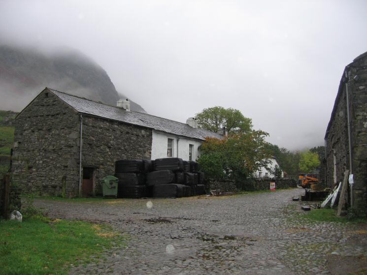
Seathwaite, Borrowdale
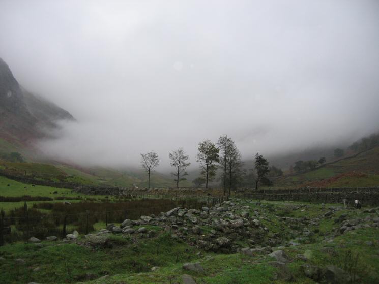
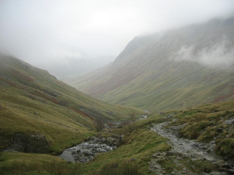
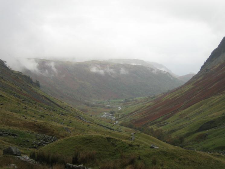
Looking up the valley from Seathwaite
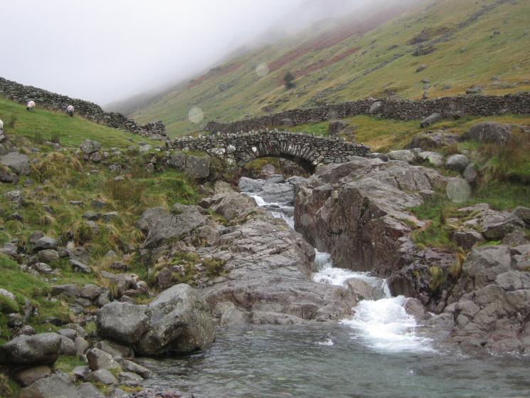
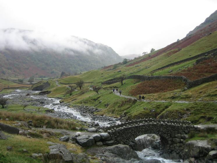
Stockley Bridge
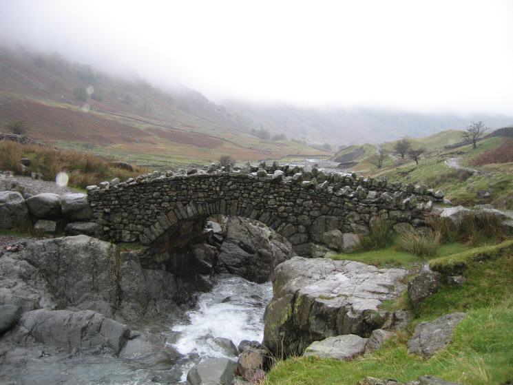
Stockley Bridge
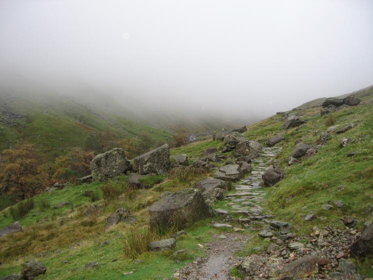
Looking up Grains Gill
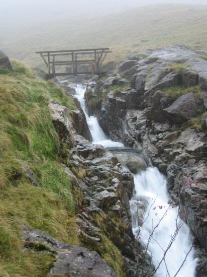
Footbridge across Grains Gill
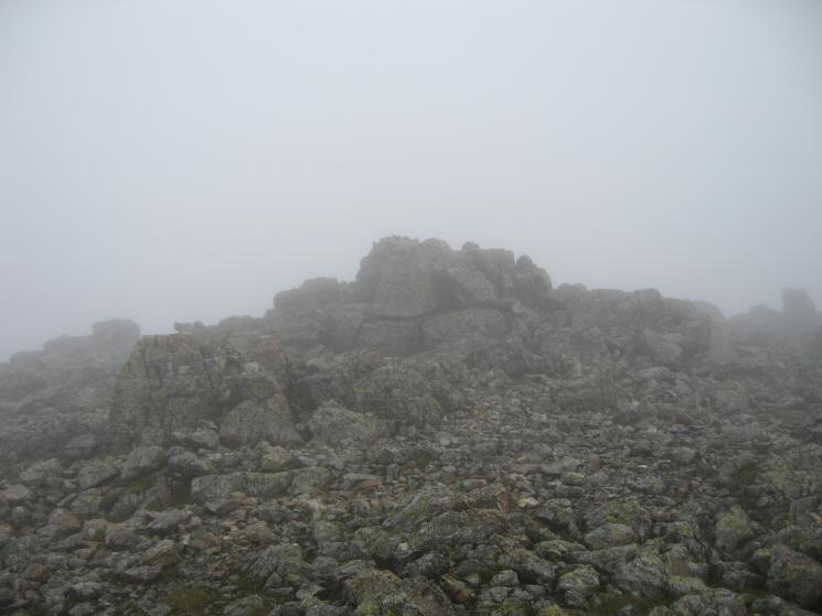
Great End's summit
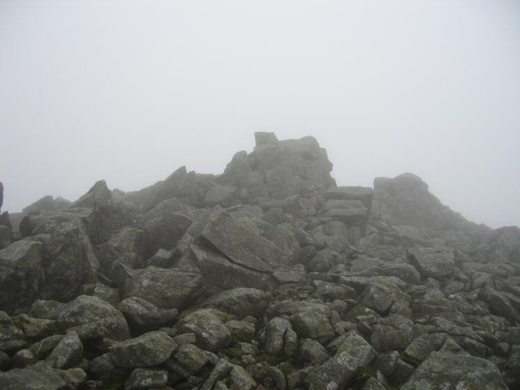
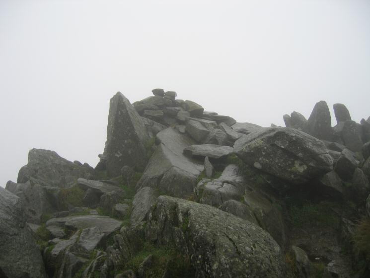
Broad Crag's summit
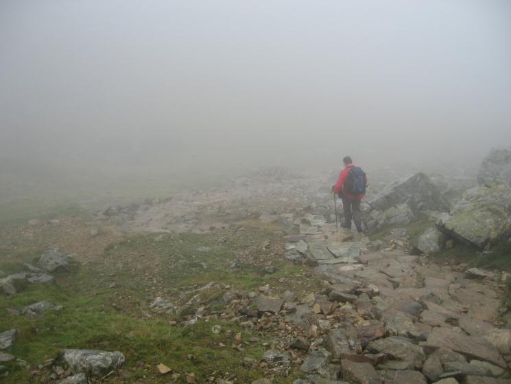
Descending off Broad Crag
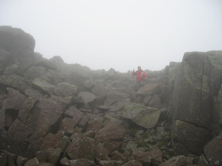
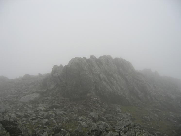
Ill Crag's summit
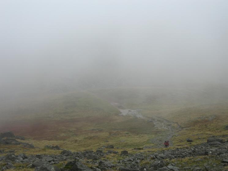
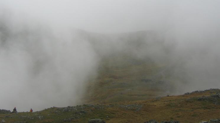
Descending into Calf Cove on our way back to Esk Hause
Ascending Esk Pike from Esk Hause
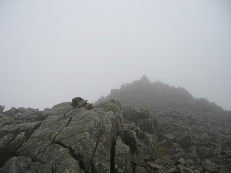
Esk Pike's summit
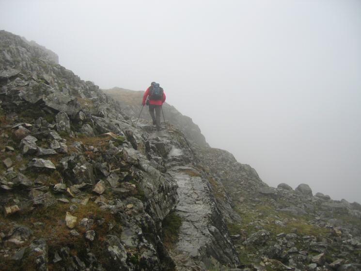
Looking down on Ore Gap
Bowfell's summit
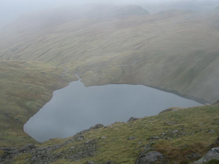
Angle Tarn from the path down from Ore Gap
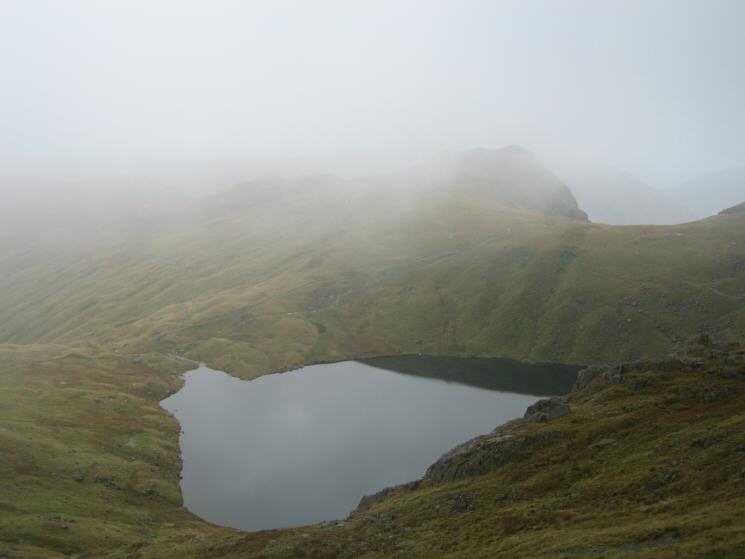
Angle Tarn with Rosset Pike just visible in the cloud
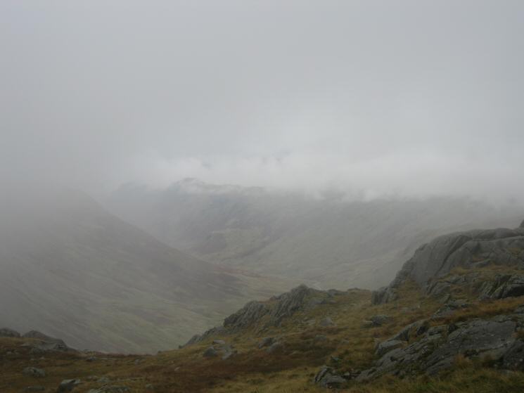
Langstrath with the tops of Sergeant's Crag and Eagle Crag left of centre
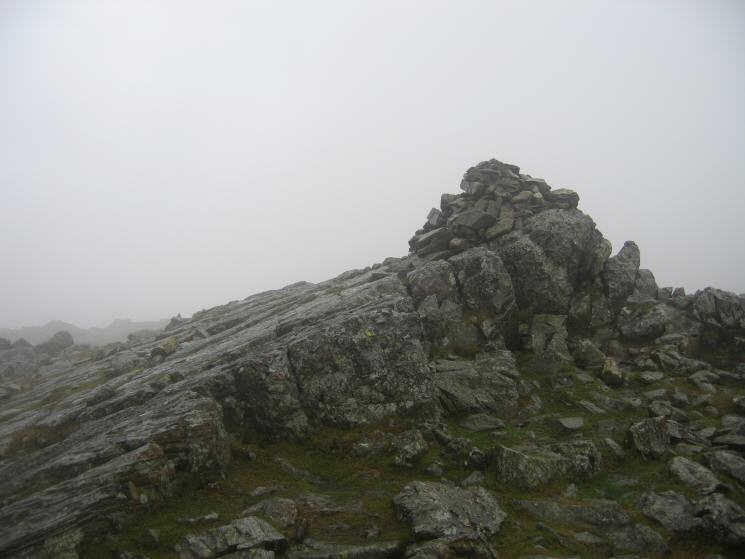
Allen Crags summit
Esk Hause from Allen Crags
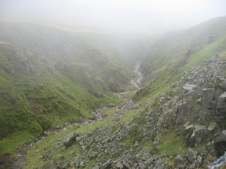
The top of Ruddy Gill
Looking down Grains Gill
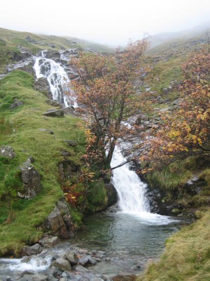
Waterfall in Grains Gill just above the footbridge
Looking down towards Seathwaite from Grains Gill
Back at Stockley Bridge
Previous Walk: Burnbank Fell, Blake Fell and Gavel Fell (Sun 16 Oct 2005)