Armboth Fell plus
Sun 17 Jul 2005
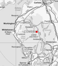
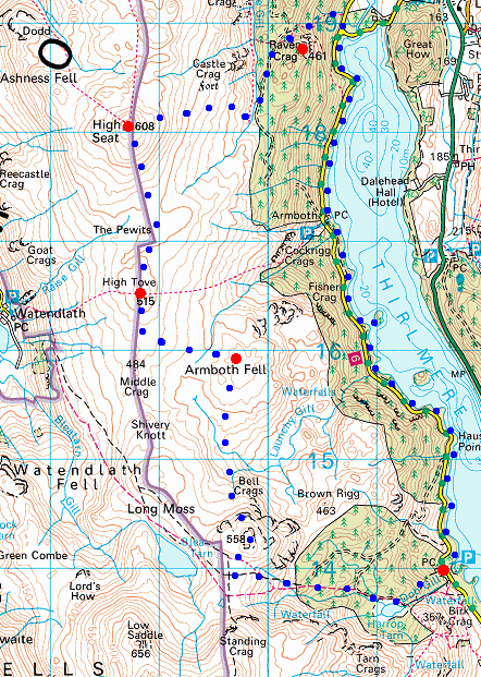
Route: Dobgill Bridge - Harrop Tarn - Bell Crags - Armboth Fell - High Tove - High Seat - Raven Crag - Thirlmere Dam End - Thirlmere - Armboth - Deergarth How Island - Launchy Gill - Hause Point - Dobgill Bridge
Distance: 10.50 miles
Ascent: 2,350ft
Time: 6 hours 30 minutes
With: David Hall
Notes:
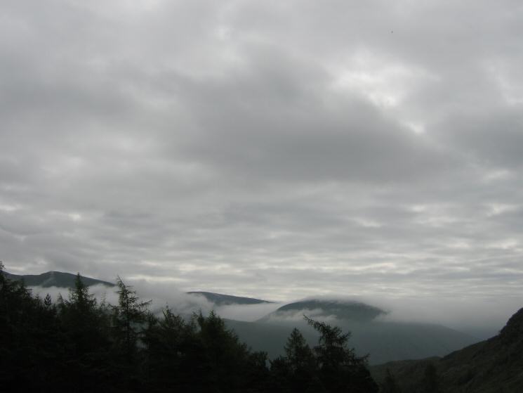
Overcast with clouds hiding the higher fells to start but giving way to blue sky and sunshine. Humid and little wind.
© Crown copyright. All rights reserved. Licence number AL100038401
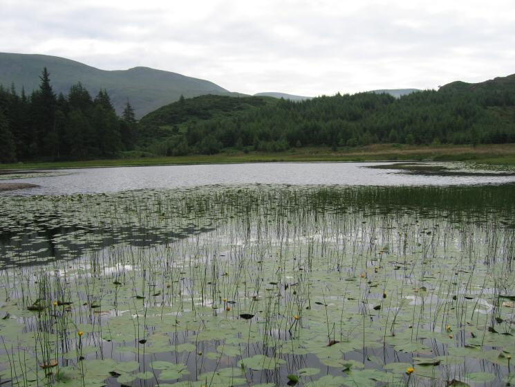
Harrop Tarn
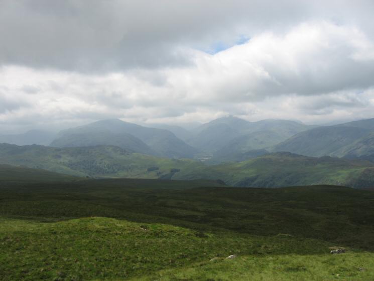
Dollywaggon Pike, Fairfield and Seat Sandal as we climb above the trees
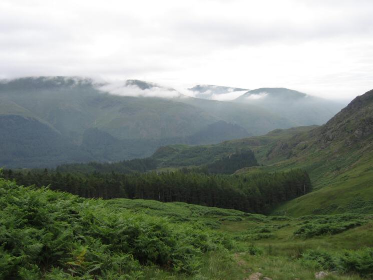
Dollywaggon Pike, Fairfield and Seat Sandal from the open fell above Harrop Tarn
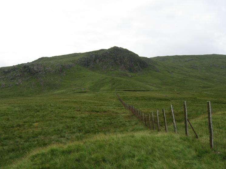
Standing Crag
Blea Tarn with Dale Head and High Spy behind
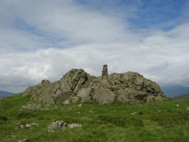
Bell Crags summit
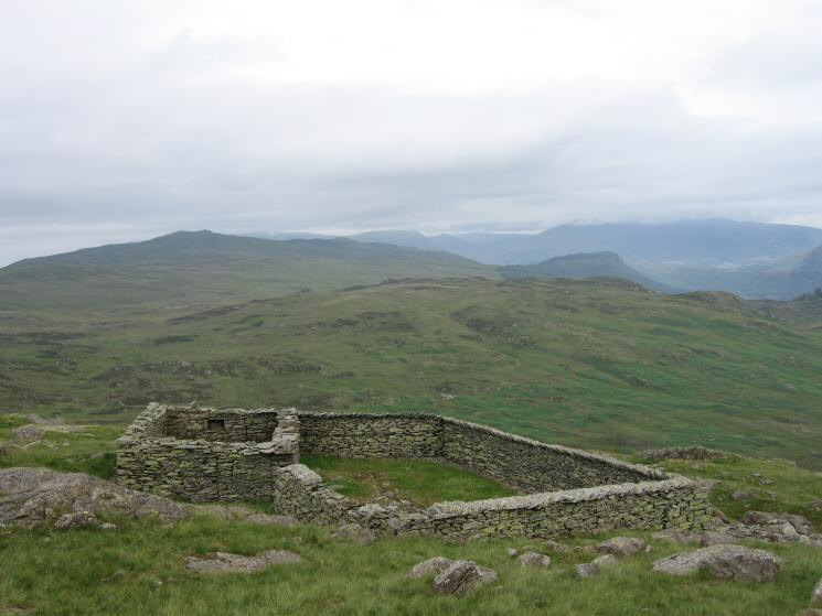
The large sheepfold just to the north of Bell Crags
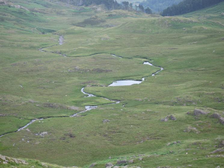
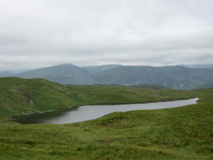
Looking down on Launchy Tarn
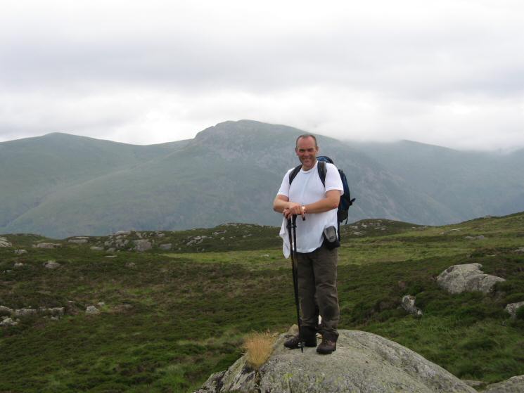
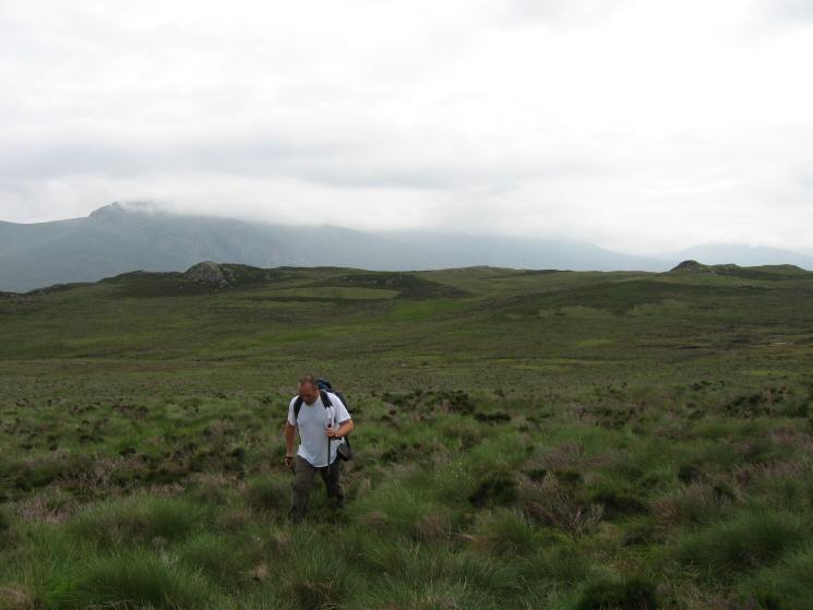
David Hall completes his round of the Wainwright tops with a camera on Armboth Fell
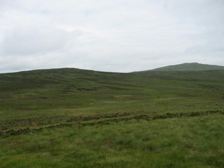
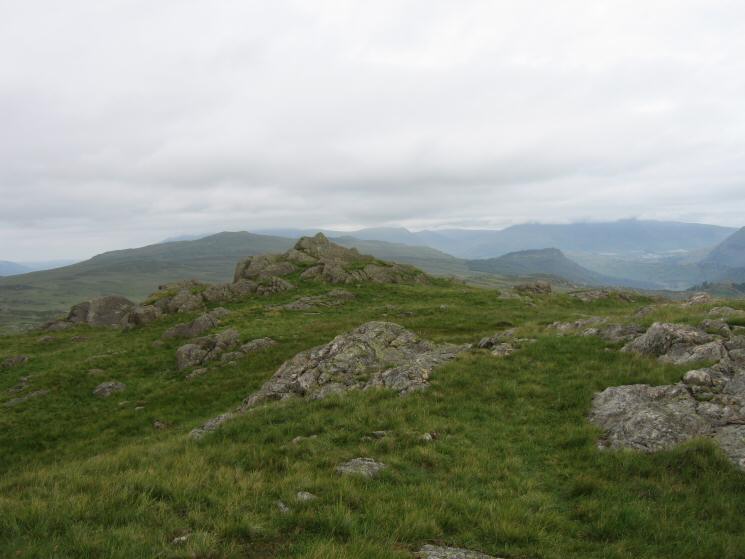
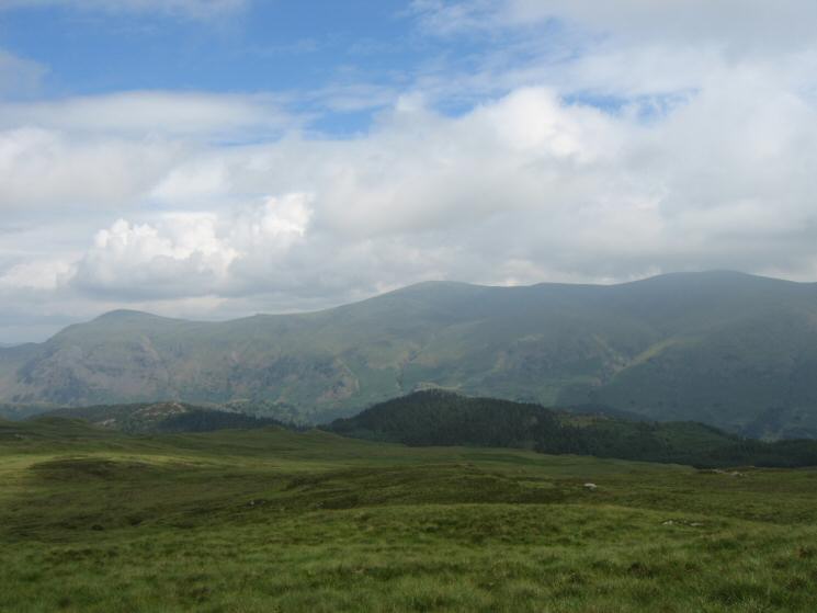
High Tove and High Seat from Armboth Fell
Looking back to Armboth Fell with Helvellyn still in cloud
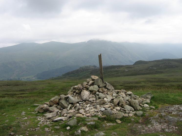
High Tove summit
High Seat from The Pewits as the weather starts to improve from the north west
High Seat's summit
Looking up Borrowdale from High Seat's summit
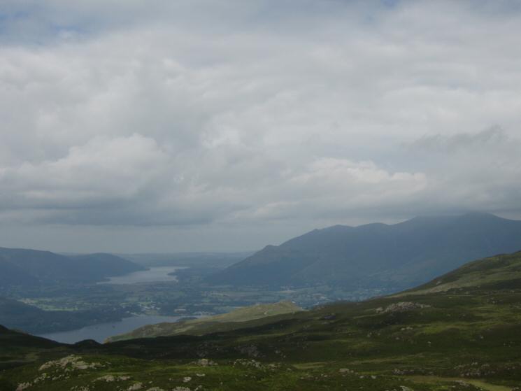
Derwent Water, Bassenthwaite Lake and Skiddaw from High Seat
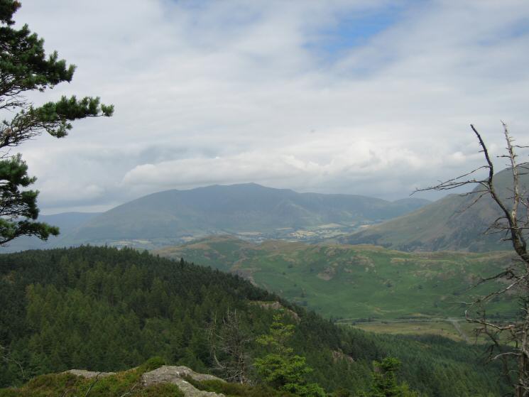
The wooded Raven Crag with Clough Head and the Dodds behind from High Seat
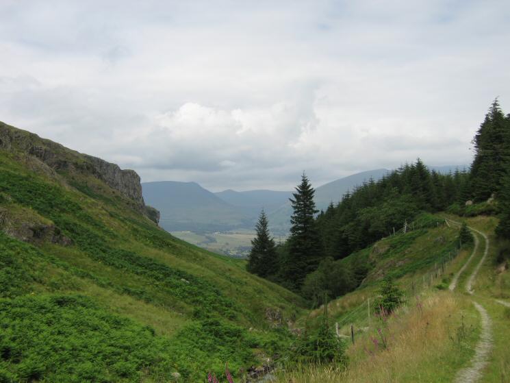
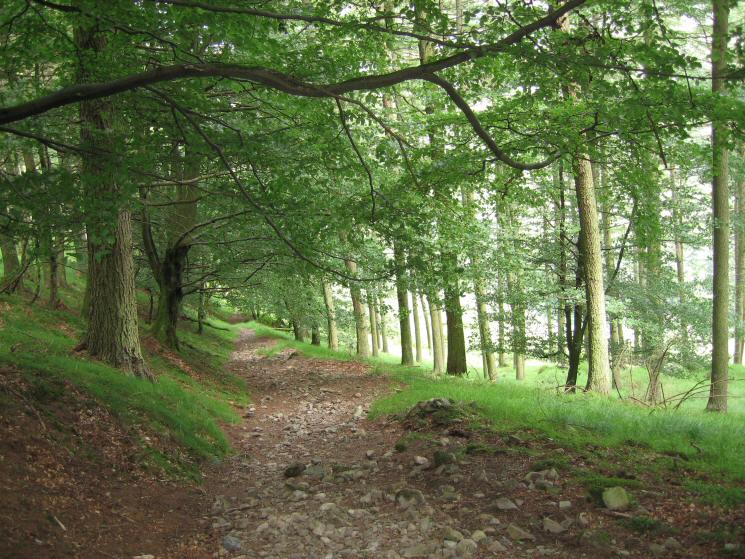
Shoulthwaite Gill
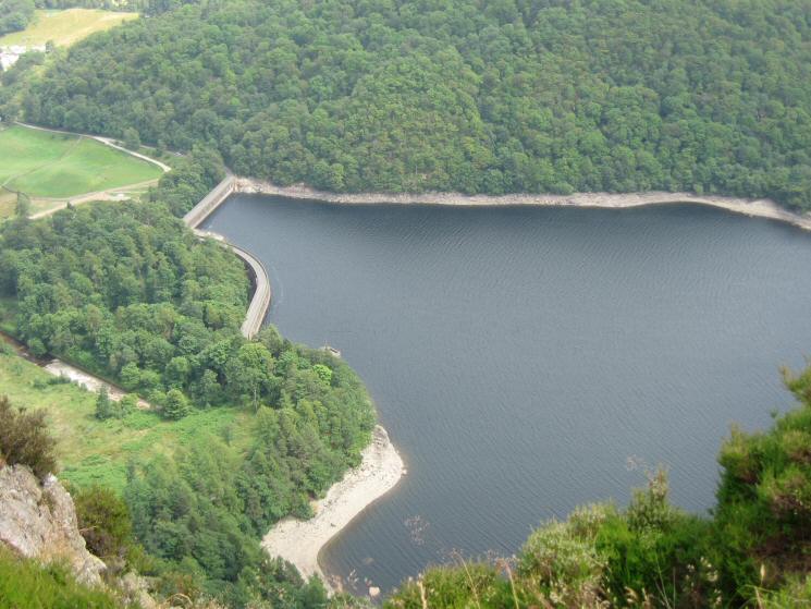
Looking down on Thirlmere's dam from Raven Crag
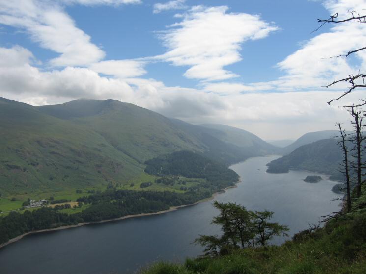
Helvellyn and Thirlmere from Raven Crag
Looking over High Rigg to Blencathra from Raven Crag
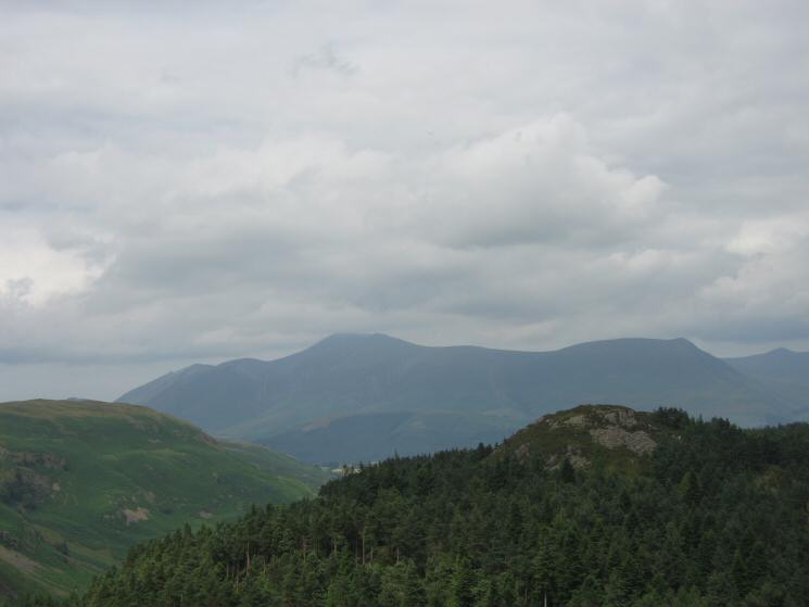
The Benn with Skiddaw and Lonscale Fell behind
The track down to Thirlmere Dam from Raven Crag
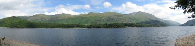
The Dodds and Helvellyn from Thirlmere's shore
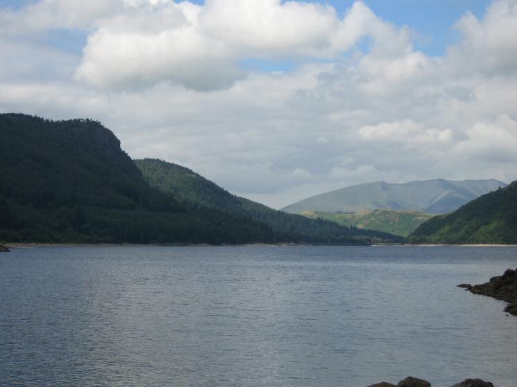
Looking north down Thirlmere towards Blencathra from Deergarth How Island with Raven Crag on the left
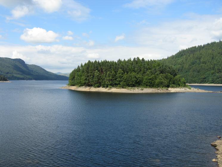
Hawes How Island, Thirlmere
Previous Walk: Alston to Milburn (Day 12 AW's Pennine Journey) (Sat 16 Jul 2005)
Next Walk: Cauldron Snout and a circuit of Widdybank Fell (Sun 24 Jul 2005)