Alston to Milburn (Day 12 AW's Pennine Journey)
Sat 16 Jul 2005
Route: Alston - River South Tyne - Low Nest - Low Cowgap - Bleagate - Low Sillyhall - Garrigill - Black Band - Pikeman Hill - Black Gut - Greg's Hut - Cross Fell - High Cap - Kirkland Hall - Ranbeck - Wythwaite - Milburn
Distance: 17.75 miles
Ascent: 2,800ft
Time: 7 hours 45 minutes
With: David Hall
Notes:
Overcast to begin but soon blue sky and sunshine, not much wind.
A reccie for my chapter in a new guide book by the Wainwright Society on AW's Pennine Journey, with a diversion to visit Cross Fell's summit. The route follows the Pennine Way south as far as Cross Fell.
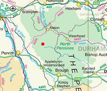
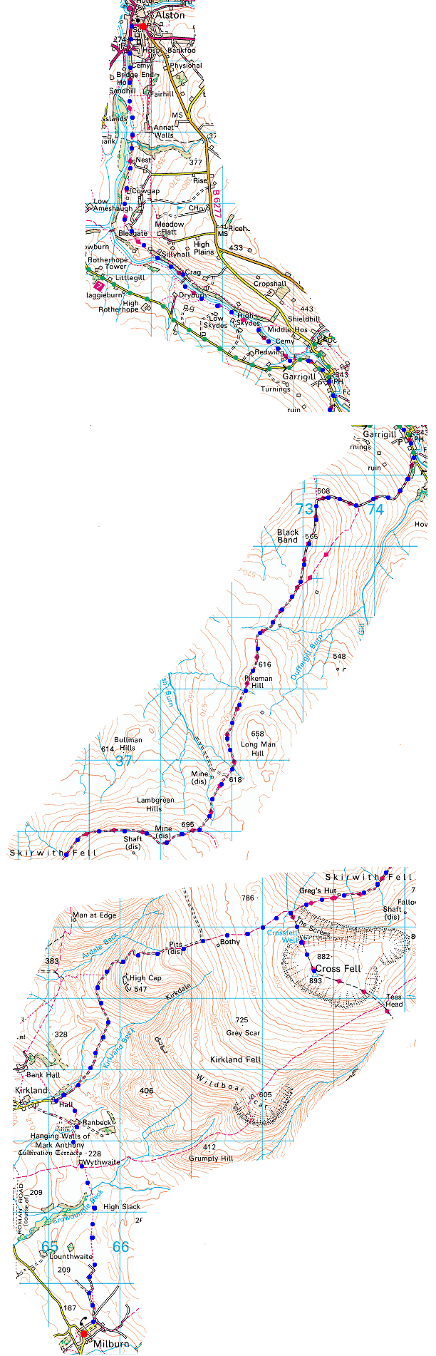
© Crown copyright. All rights reserved. Licence number AL100038401
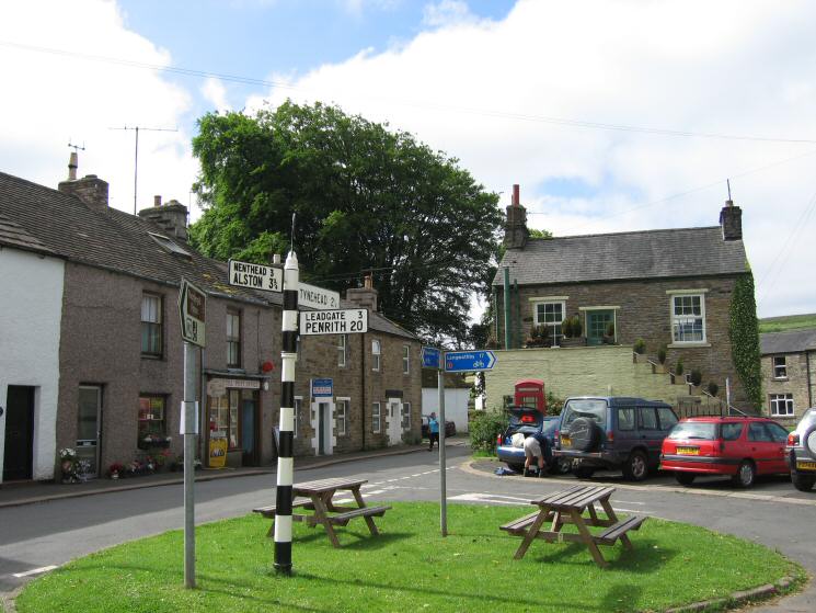
Alston
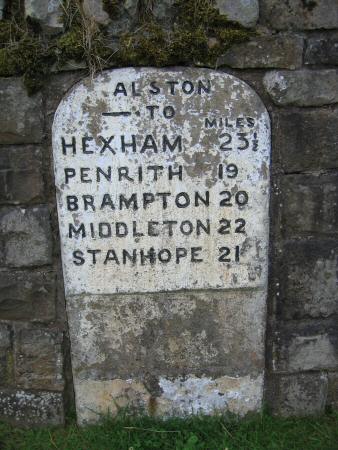
Old mile sign in Alston
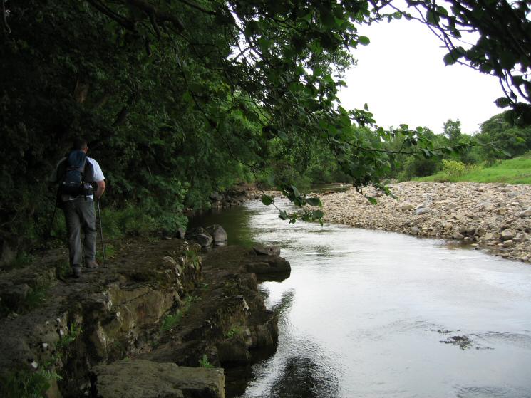
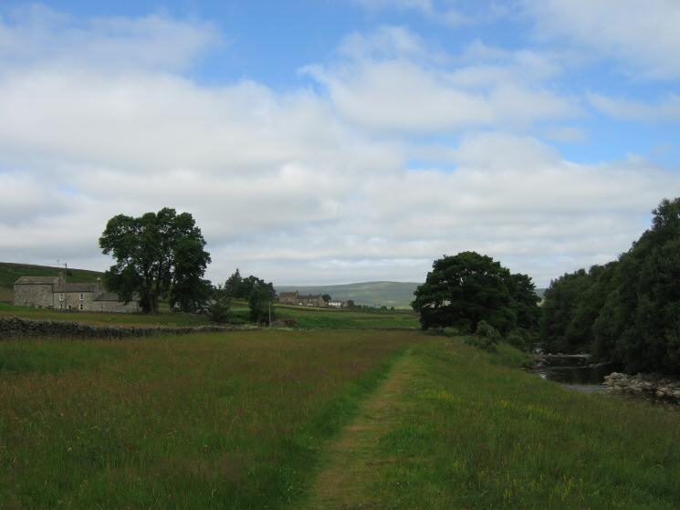
Following the River South Tyne just outside of Alston
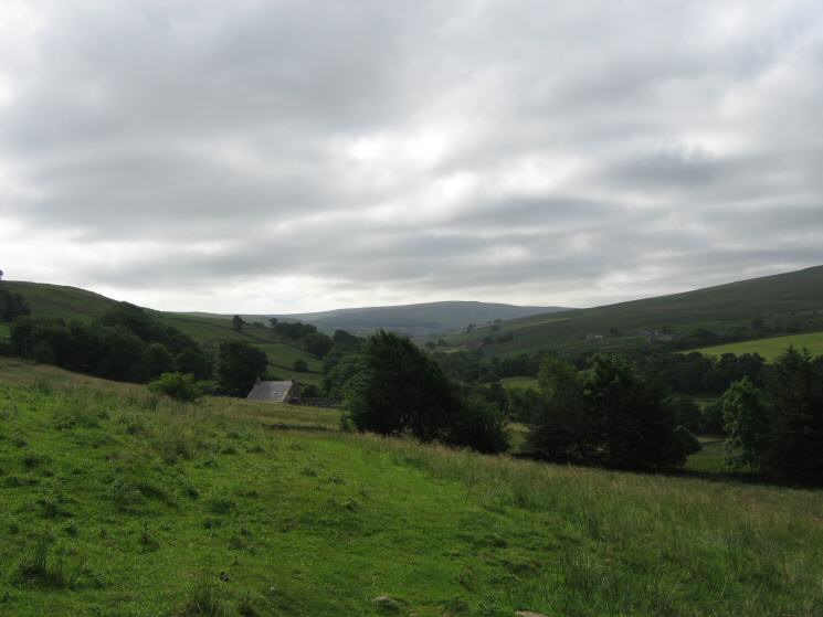
Looking back to Bleagate
Approaching Low Sillyhall
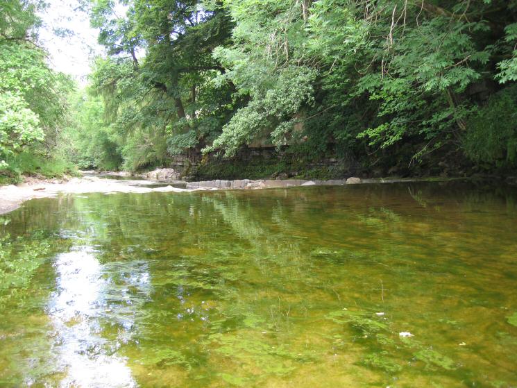
The River South Tyne, looking back down stream
Looking back to Middle Skydes with Low Skydes in the distance as we follow the River South Tyne
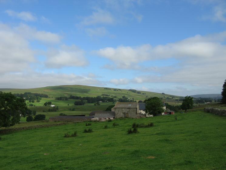
Garrigill
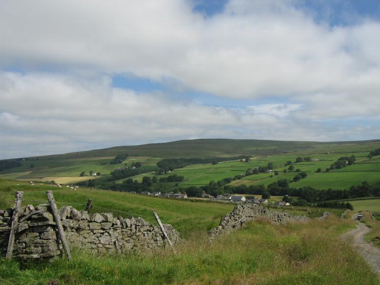
Looking back down on Garrigill from the walled track
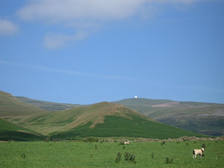
Just follow the track. The fells on the skyline are Great Dun Fell (with golf ball), Little Dun Fell and the large flat top of Cross Fell
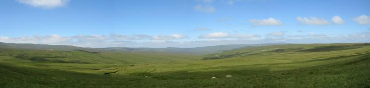
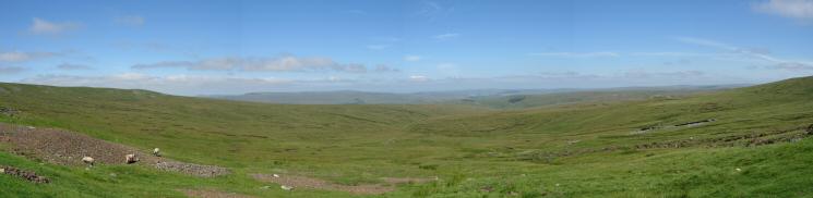
North westerly panarama from near Pikeman Hill showing the miles of open country
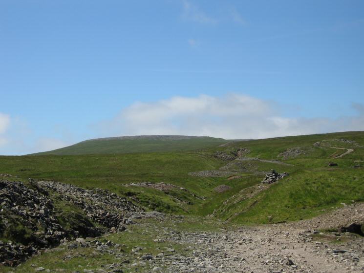
The old mine workings at Black Gut
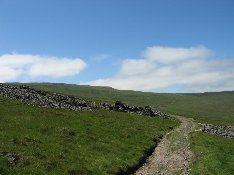
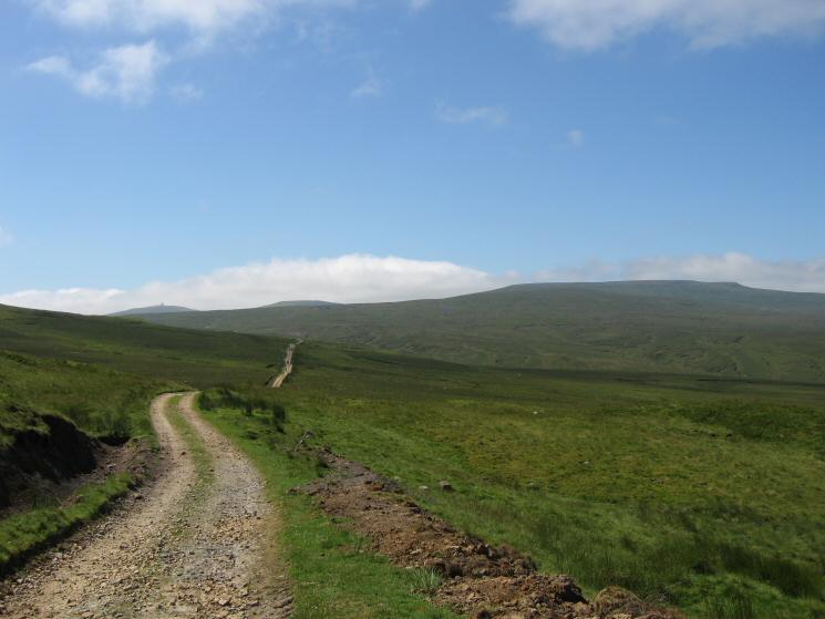
The track continues along Backstone Edge
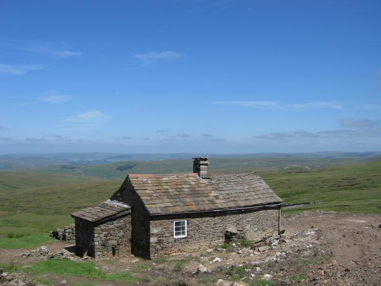
Greg's Hut, now a bothy
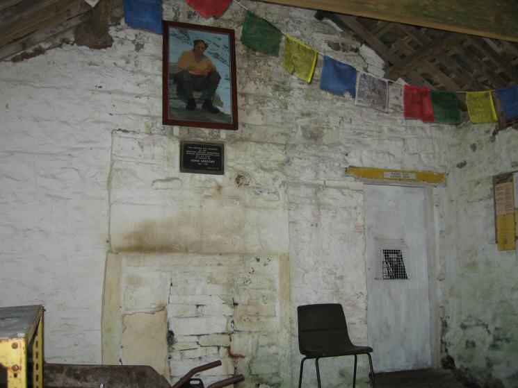
Inside the 'living room' in Greg's Hut
The view north from Greg's Hut
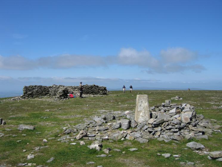
Cross Fell's summit
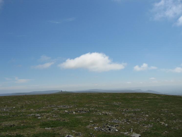
The view south from Cross Fell's summit with the golf ball on Great Dun Fell clearly visible
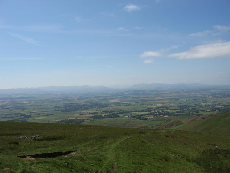
Looking across the Vale of Eden to the Lakeland Fells (Helvellyn, The Dodds and Blencathra)
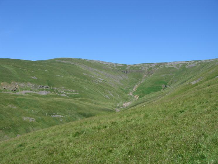
Black Doors
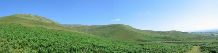
High Cap and Kirkland Fell
Kirkland Fell (Wildboar Scar) from Ranbeck
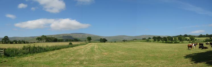
Great Dun Fell
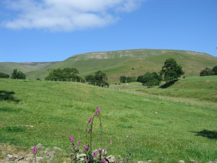
Cross Fell, Little Dun Fell and Great Dun Fell from near Milburn
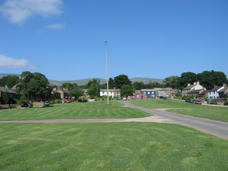
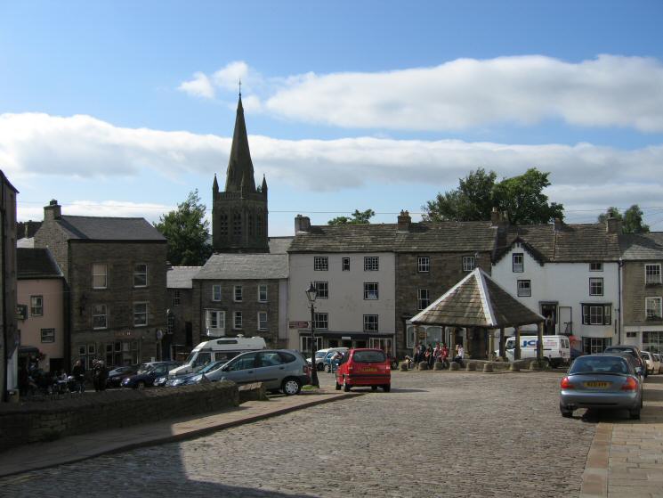
Milburn
Previous Walk: Grey Crag, Harrop Pike, Tarn Crag (Sun 10 Jul 2005)
Next Walk: Armboth Fell plus (Sun 17 Jul 2005)