Hayeswater and Pasture Beck skylines
Sun 23 Jan 2005
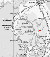
Route: Hartsop - Hayeswater - The Knott - High Street - Thornthwaite Crag - Gray Crag - Threshthwaite Mouth - Caudale Moor (Stony Cove Pike) - Caudale Head Tarn - Caudale Moor (John Bell's Banner) - Hartsop Dodd - Hartsop
Distance: 10.25 miles
Ascent: 3,400ft
Time: 5 hours 30 minutes
With: David Hall
Notes:
Blue sky and sunshine, cloud building, very cold in the wind on Caudale Moor
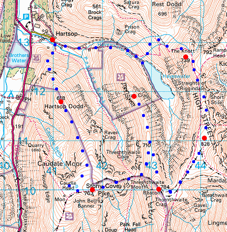
© Crown copyright. All rights reserved. Licence number AL100038401
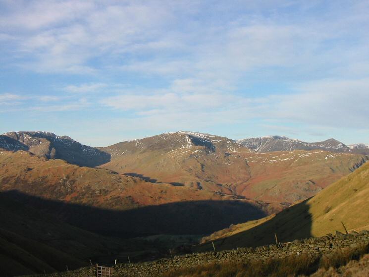
Saint Sunday Crag from above Hayeswater
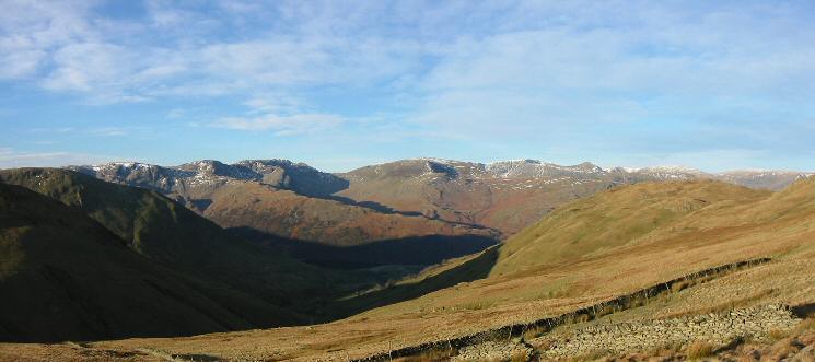
Looking west to the Fairfield group, Saint Sunday Crag and the Helvellyn group from above Hayeswater
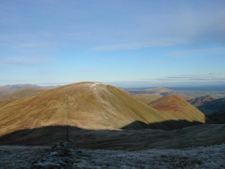
Rest Dodd and The Nab from The Knott
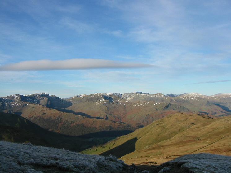
The view west from The Knott
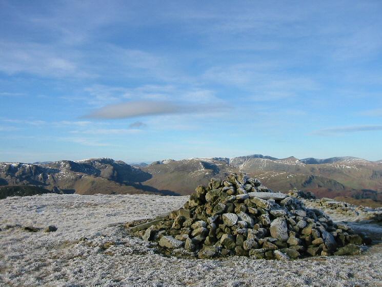
The Knott's summit

360 Panorama from The Knott's summit
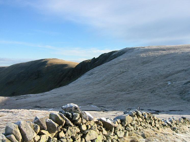
High Raise and Rampsgill Head from The Knott

Looking back to the Straights of Riggindale
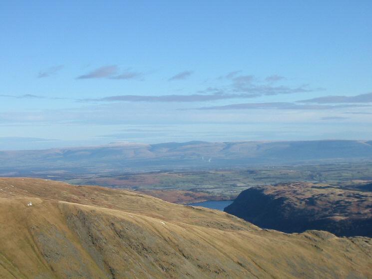
Looking east to the North Pennines
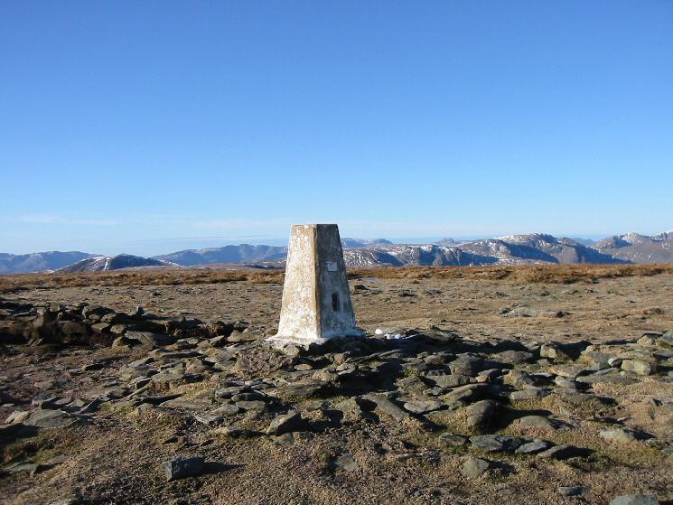
High Street's summit

Westerly panorama from High Street's summit
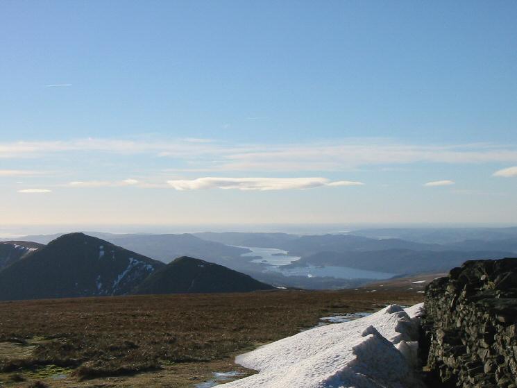
Ill Bell, Froswick and Windermere
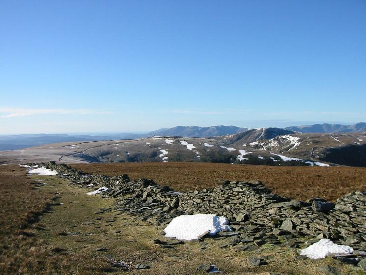
Looking across to Thornthwaite Beacon with the Coniston Fells in the far distance from High Street
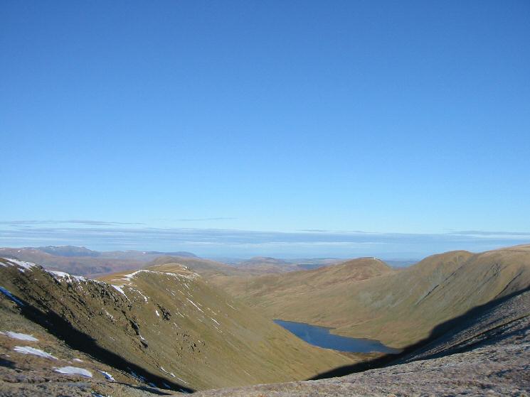
Gray Crag and Hayeswater
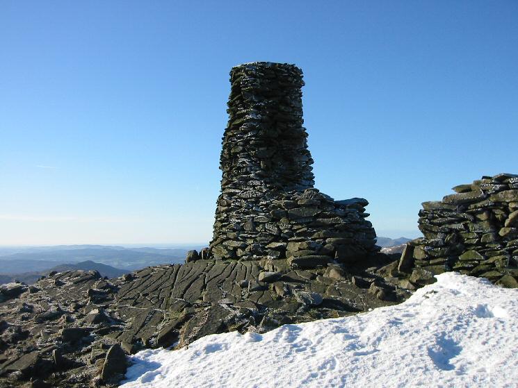
Thornthwaite Beacon
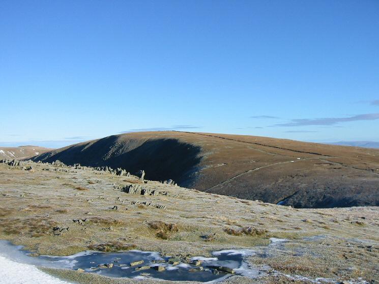
Looking back to High Street from Thornthwaite Crag
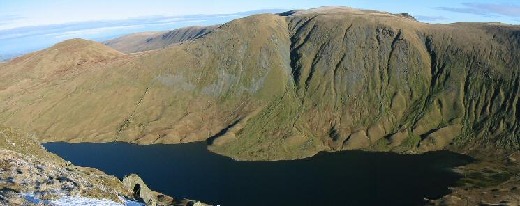
Hayeswater with Rest Dodd, The Knott, Rampsgill Head and Kidsty Pike behind
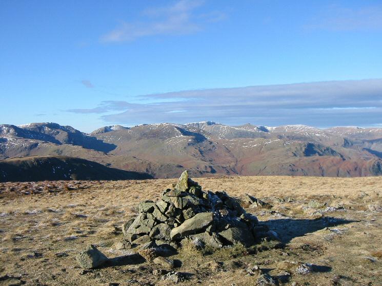
Looking towards Helvellyn from Gray Crag's summit cairn
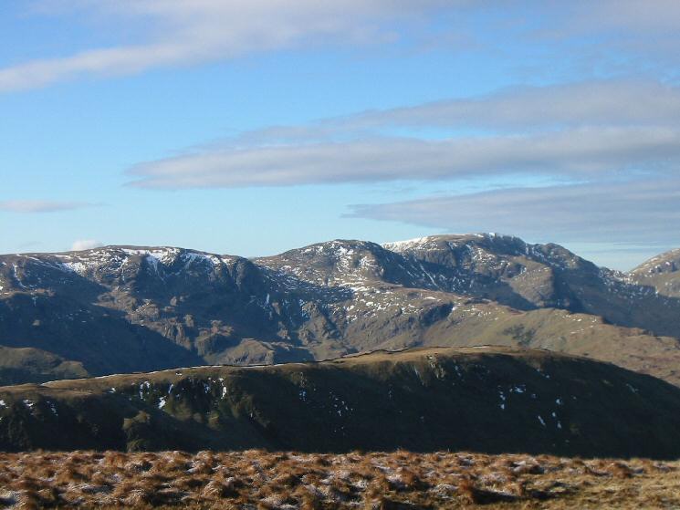
Zooming in on Dove Crag, Hart Crag and Fairfield from Gray Crag

Westerly panorama from Gray Crag'summit
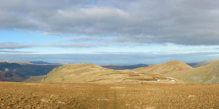
Looking back to Gray Crag with Rest Dodd on the right
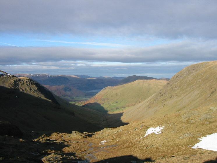
Looking down into the valley of Pasture Beck from Threshthwaite Mouth
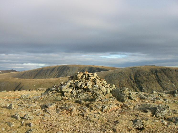
High Street and Thornthwaite Crag from Stony Cove Pike's summit cairn

360 Panorama from Caudale Moor (Stony Cove Pike)'s summit
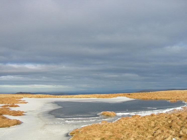
Caudale Head Tarn
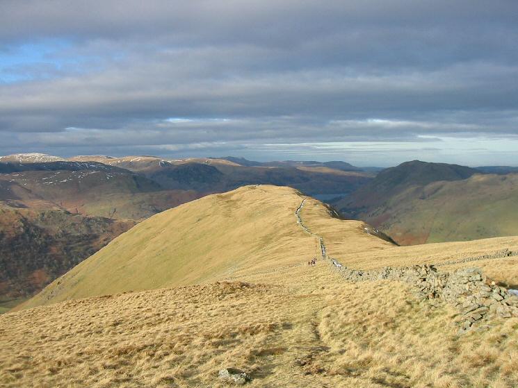
Looking down on Hartsop Dodd

Gray Crag from the ridge to Hartsop Dodd
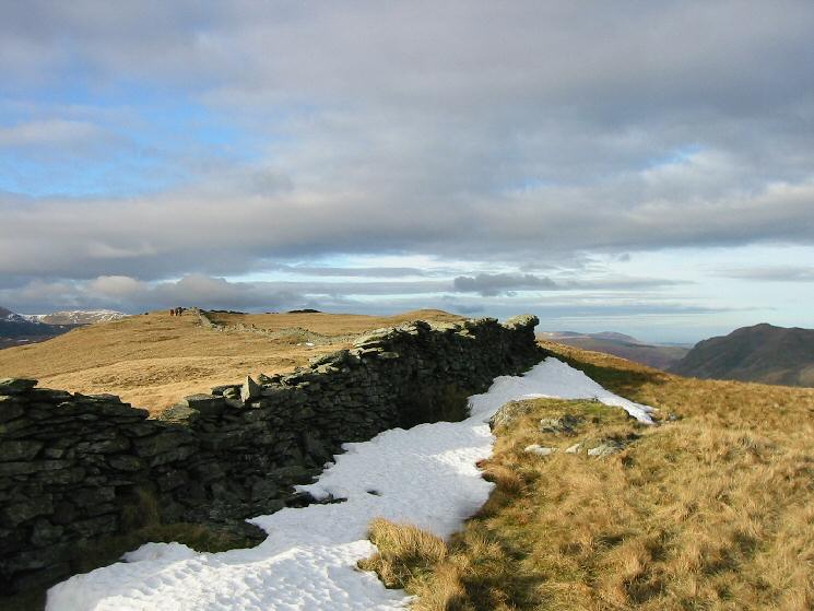
The ridge to Hartsop Dodd
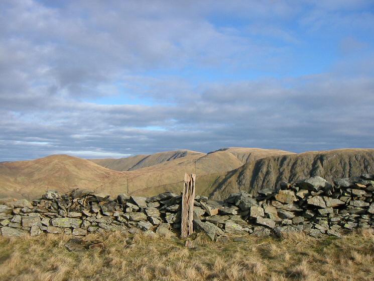
The wooden post that marks the summit of Hartsop Dodd
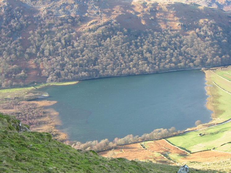
Looking down on Brothers Water
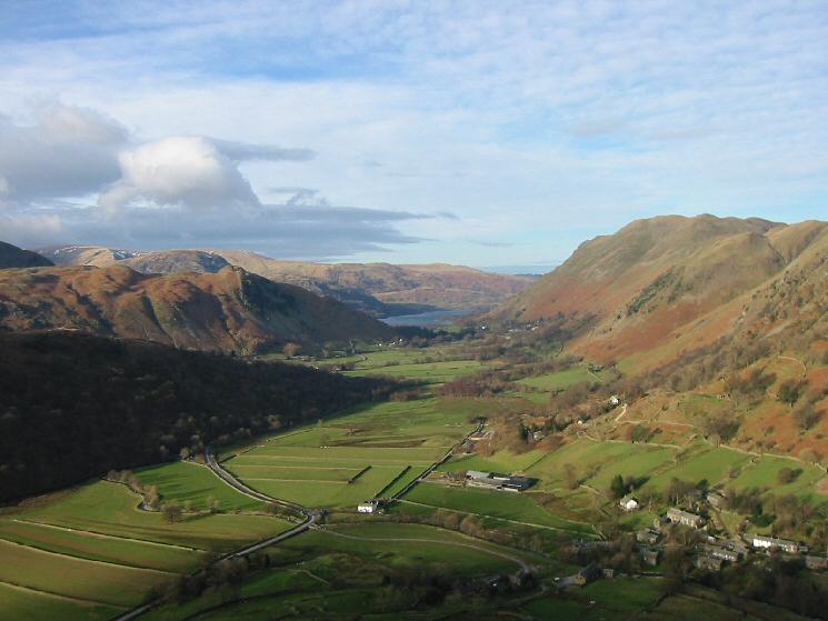
The view north to Ullswater from the descent off Hartsop Dodd
Previous Walk: Haystacks and Innominate Tarn (Sat 22 Jan 2005)
Next Walk: Souther Fell (Sun 30 Jan 2005)
