Murton Fell and High Cup Nick
Sun 21 Aug 2005
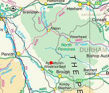
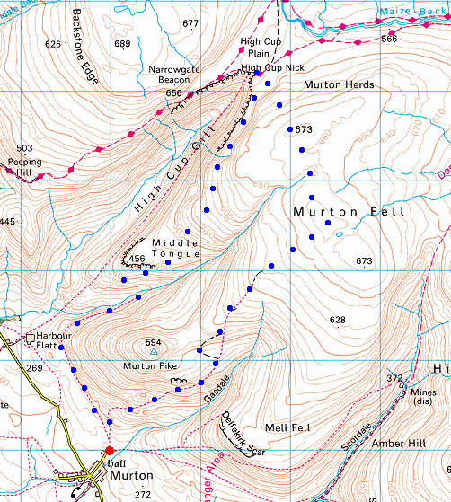
Route: Murton - Murton Fell - High Cup Nick - Middle Tongue - Trundale - Murton
Distance: 7.25 miles
Ascent: 1,400ft
Time: 3 hours 25 minutes
With: Anne
Notes:
Warm and sunny, blue sky, a nice cool breeze on the tops
© Crown copyright. All rights reserved. Licence number AL100038401
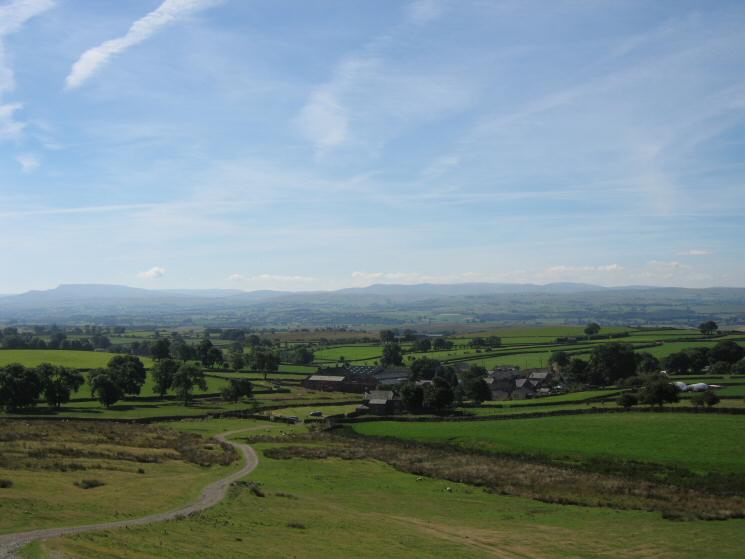
Looking back to Murton with Wild Boar Fell (left) and the Howgill Fells (right) in the distance
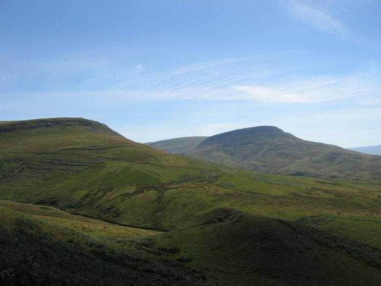
Looking south from the flanks of Murton Pike to Delfekirk Scar and Roman Fell
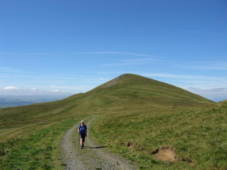
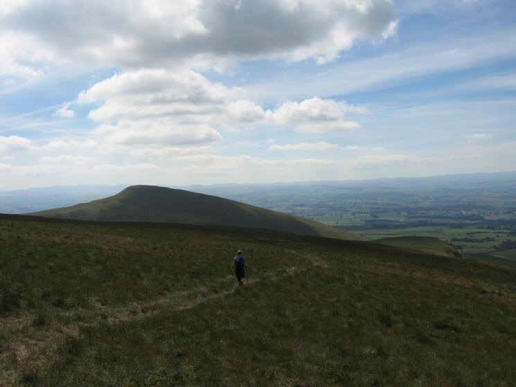
Heading along the track towards Murton Fell with Murton Pike behind
The view north west from the ascent of Murton Fell
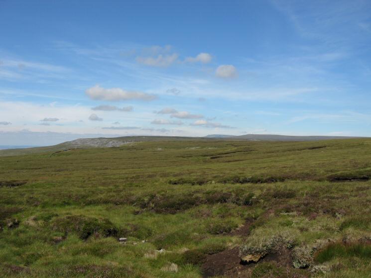
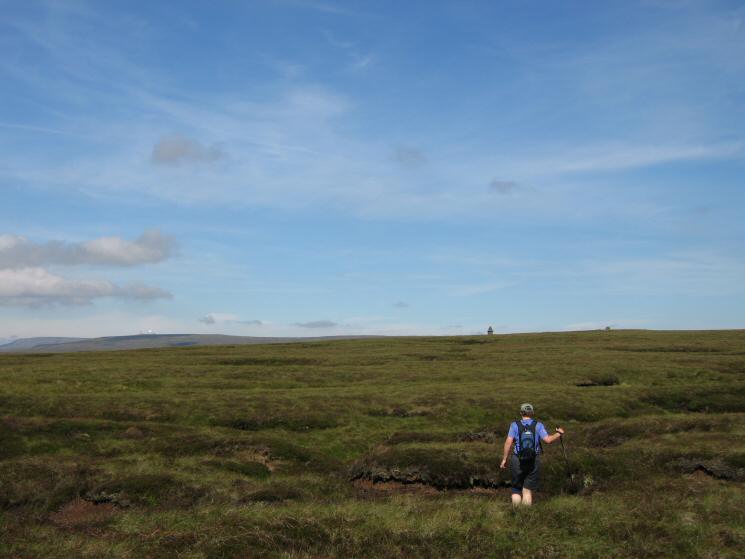
Looking north as we cross the moorland on our way to Murton Fell
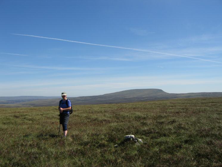
Looking west to Mickle Fell from the summit of Murton Fell

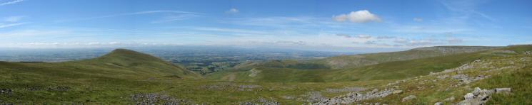
360 Panorama from Murton Fell's summit
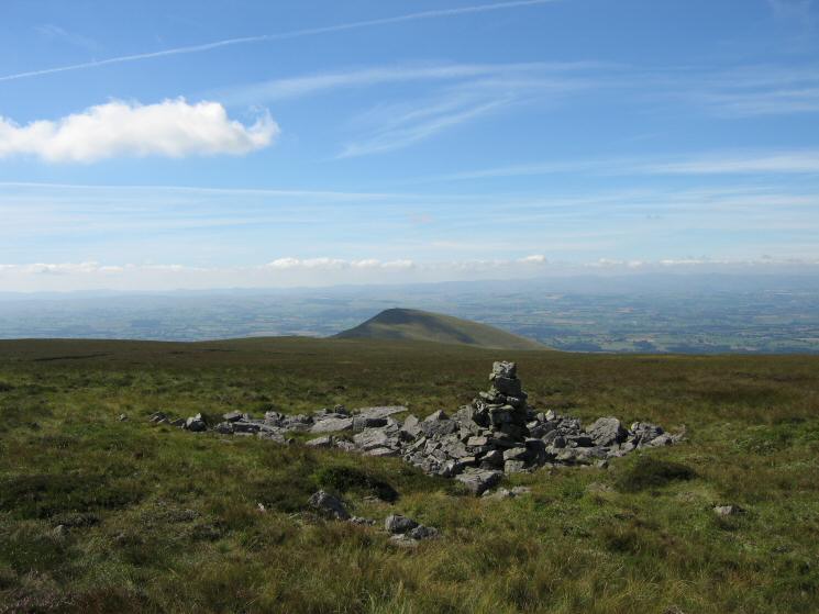
Murton Pike from the large cairn near Murton Fell's summit
Heading towards the Curricks on Murton Fell's northern top
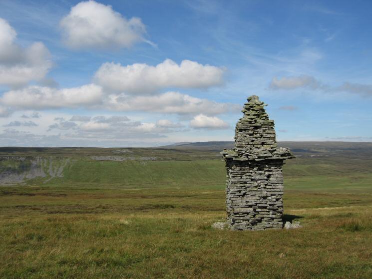
One of the Curricks on Murton Fell's north top
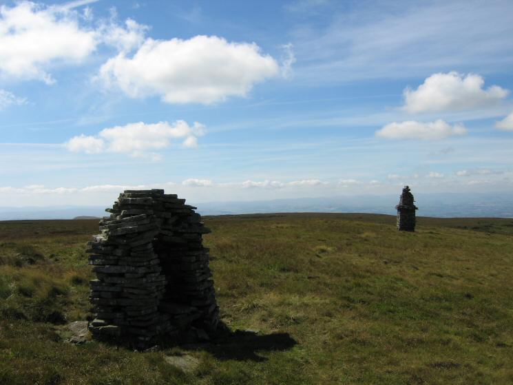
The Curricks on Murton Fell's north top
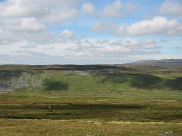
Descending to High Cup Nick from Murton Fell
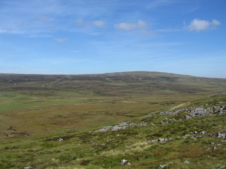
Meldon Hill from the descent to High Cup Nick
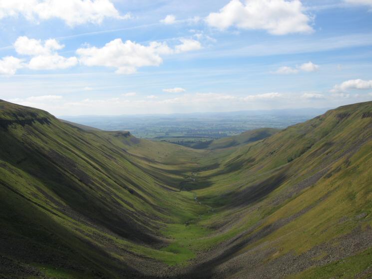
Our first view of High Cup from the descent from Murton Fell
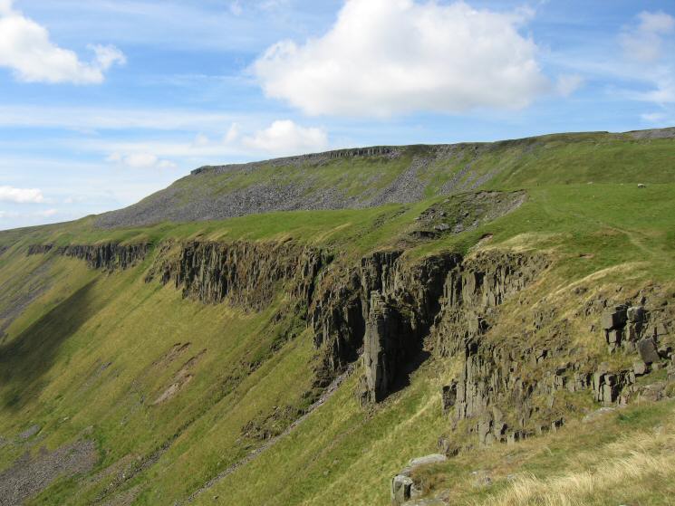
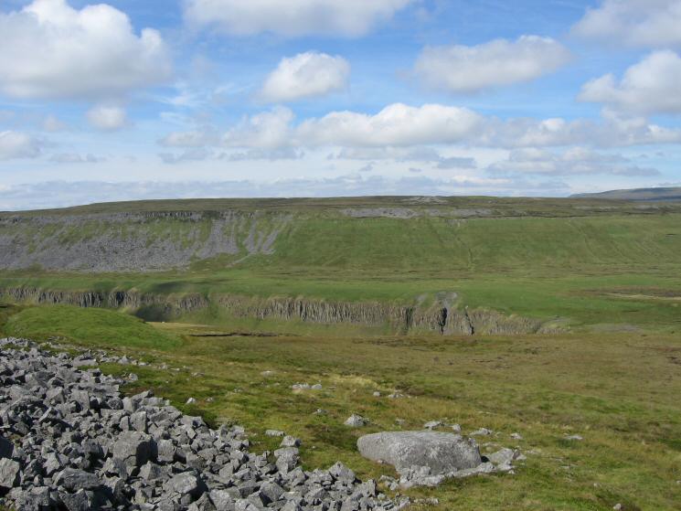
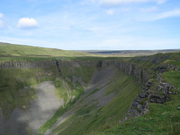
The northern cliffs of High Cup

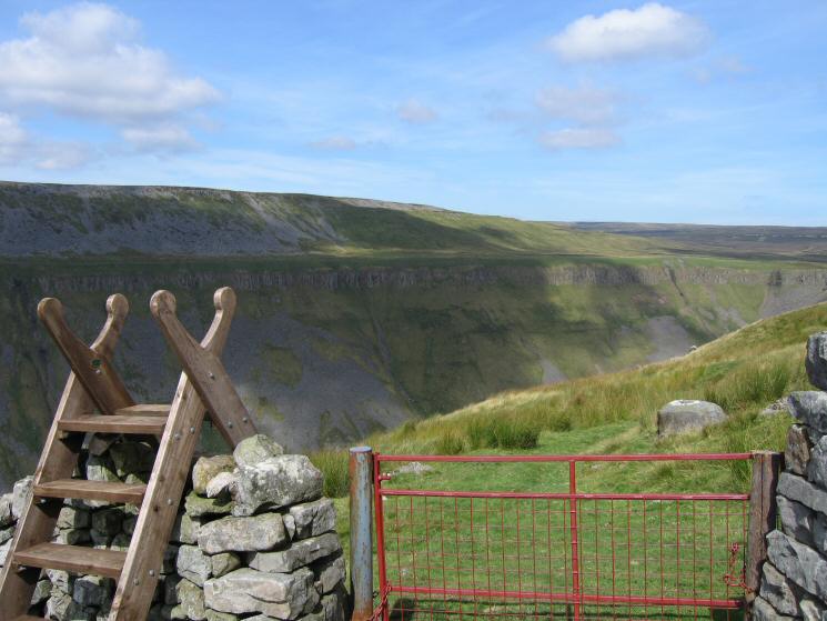
The southern rim of High Cup
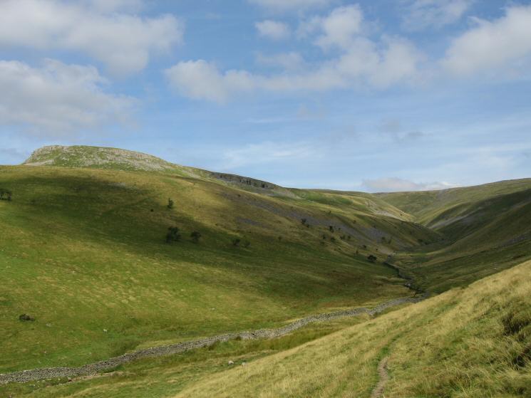
High Cup Gill
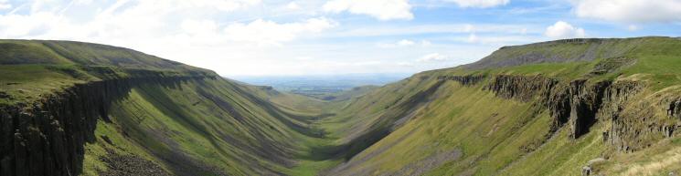
High Cup Gill panorama
Looking back to High Cup Nick from the path along the top of the south side of High Cup
A last view of High Cup
Descending Middle Tongue with Murton Pike on the left
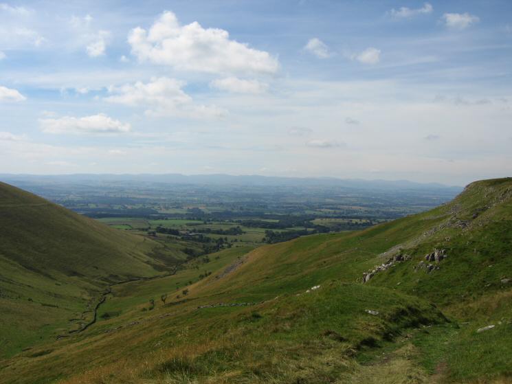
Looking down into Trundale with the Lakeland fells in the distance
Trundale
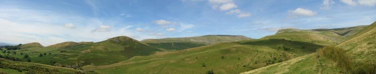
A northerly panorama: Keisley Bank to Middletongue Crag and Trundale
Previous Walk: Great Dun Fell (Wed 17 Aug 2005)
Next Walk: Glaramara to Great Gable (Sat 3 Sep 2005)