Rannerdale Round
Wed 1 Sep 2004
Route: Cinderdale Common - Lad Hows ridge - Grasmoor - Eel Crag (Crag Hill) - Wandope - Thirdgill Head Man - Whiteless Edge - Saddle Gate - Whiteless Pike - Whiteless Breast - Low Bank - Rannerdale Knotts - Hause Point - Rannerdale - Cinderdale Common
Distance: 7.75 miles
Ascent: 3,400ft
Time: 4 hours 20 minutes
With: On Own
Notes:
Overcast, cool in the wind on the tops

© Crown copyright. All rights reserved. Licence number AL100038401
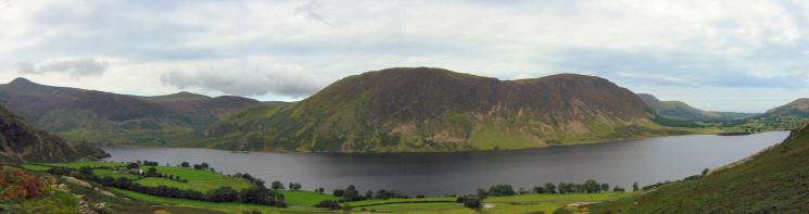
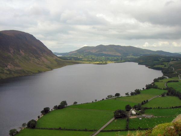
Mellbreak and Crummock Water
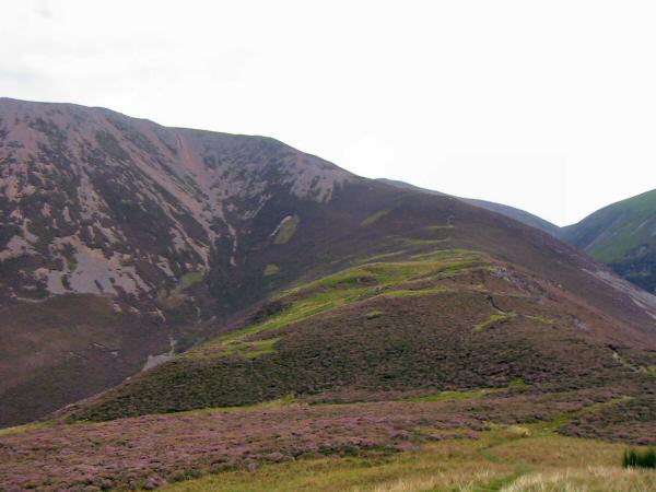
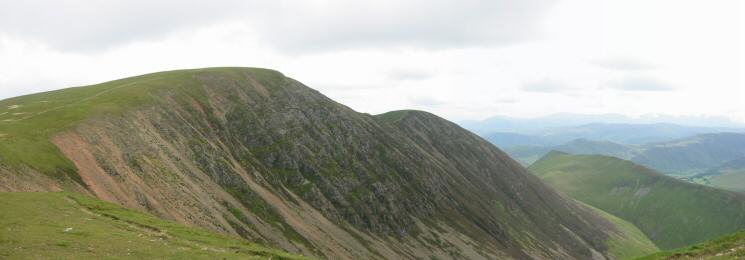
Lad Hows ridge onto Grasmoor

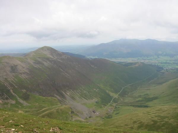
Mellbreak from high up the Lad Hows ridge, Grasmoor
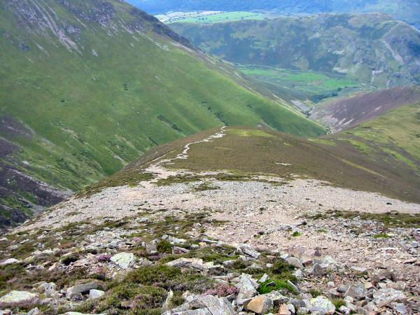
Looking back down Lad Hows ridge, Grasmoor

Whiteside and Gasgale Crags from Grasmoor's summit
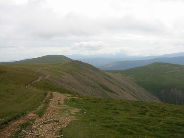
The path to Eel Crag from Grasmoor with Wandope on the right
Whiteless Pike
Eel Crag from Grasmoor

Grisedale Pike with Skiddaw beyond

Hopegill Head and Grisedale Pike from Eel Crag's summit

360 Panorama from Eel Crag's summit
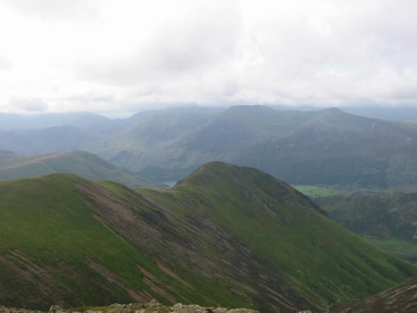
The Vale of Keswick and the ridge to Causey Pike from Eel Crag's summit
Grisedale Pike, Coledale and the Skiddaw fells from Eel Crag's summit

Wandope
Eel Crag, Sail and Ard Crags from Wandope
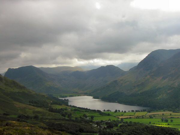
Mellbreak from Thirdgill Head Man

Whiteless Pike with the High Stile ridge behind from Thirdgill Head Man

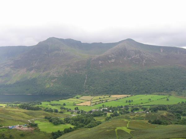
Grasmoor and Lad Hows
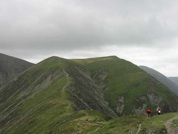
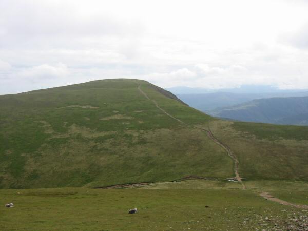
Thirdgill Head Man and Wandope from Whiteless Pike's summit

Robinson, High Snockrigg, Whiteless Breast and the High Stile ridge from Whiteless Pike
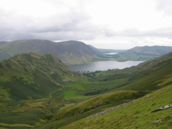
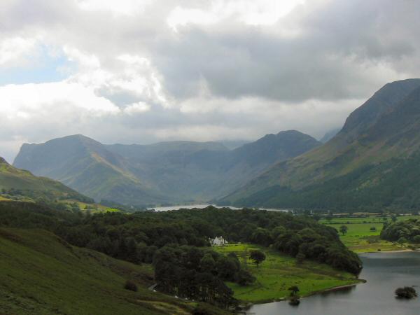
Rannerdale
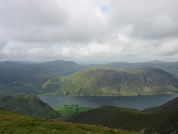
High Stile and Red Pike seen across the Buttermere valley
Fleetwith Pike, Haystacks and Buttermere from Rannerdale Knotts
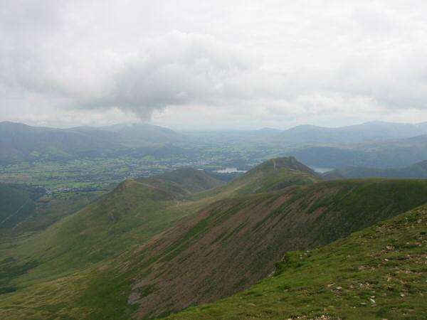
Mellbreak, Crummock Water and Low Fell from the route off Rannerdale Knotts
Fleetwith Pike and Haystacks
Previous Walk: Humphrey Head (Mon 30 Aug 2004)