Bowscale Fell
Sun 16 May 2004
Route: Mungrisdale - River Glenderamackin - Bannerdale - Bowscale Fell - Bowscale Fell East Top - Bowscale Fell Far East Top - Mungrisdale
Distance: 4.75 miles
Ascent: 1,550ft
Time: 2 hours 20 minutes
With: Anne
Notes:
Blue sky, scattered clouds and sunshine
© Crown copyright. All rights reserved. Licence number AL100038401
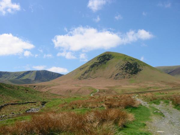
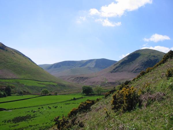
The Tongue with Bannerdale Crags to the left

Bannerdale Crags
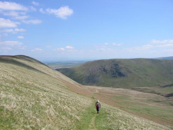
Ascending AW's route 1 up the side of The Tongue with Souther Fell behind
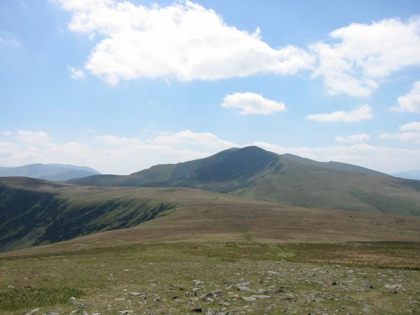
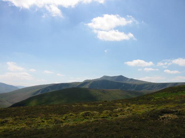
Blencathra from Bowscale Fell's summit
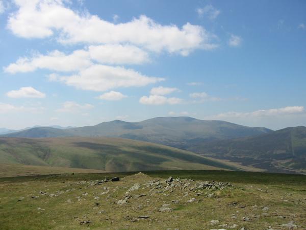
The Skiddaw fells from Bowscale Fell's summit

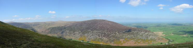
360 Panorama from Bowscale Fell's summit
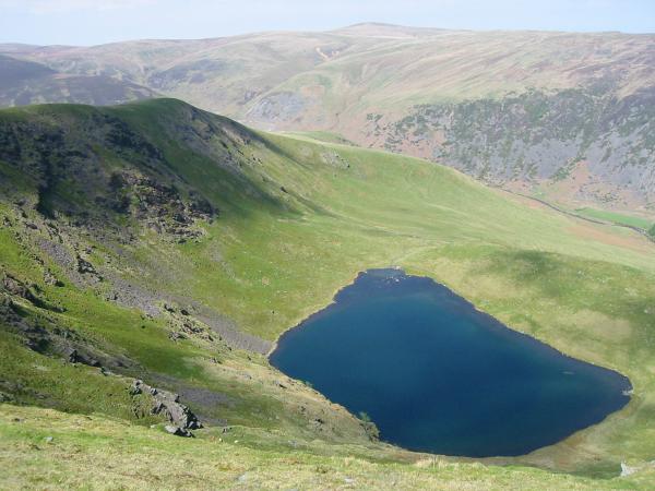
Bowscale Tarn. The high point on the skyline is High Pike
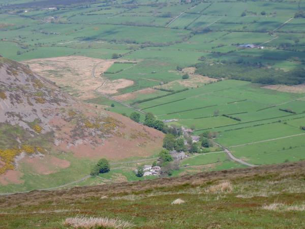
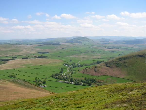
Looking down on the hamlet of Mosedale
Carrock Fell
Looking over The Tongue and Bannerdale Crags to Blencathra from Bowscale Fell's east ridge
Mungrisdale at the bottom of Souther Fell's northwest ridge
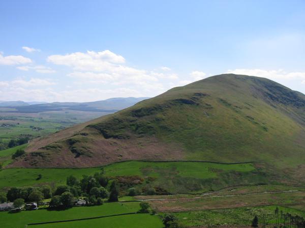
Souther Fell
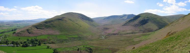
Souther Fell, River Glenderamackin, Bannerdale Crags and The Tongue
Bannerdale Crags and The Tongue from the descent back into Mungrisdale
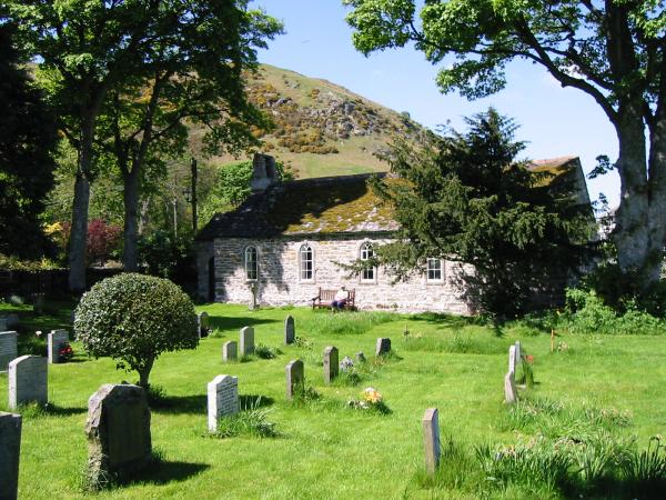
St Kentigern Church, Mungrisdale
Previous Walk: Buttermere Trio (Sat 15 May 2004)
Next Walk: The Pikes of Scawfell (Tue 18 May 2004)