Buttermere Trio
Sat 15 May 2004
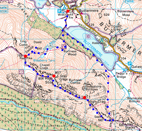
Route: Buttermere Village - Bleaberry Tarn - Dodd - The Saddle - Red Pike - High Stile - High Crag - Gamlin End - Seat - Scarth Gap - Buttermere - Burtness Wood - Buttermere Village
Distance: 7.00 miles
Ascent: 2,800ft
Time: 5 hours 15 minutes
With: Anne
Notes:
Broken cloud and sunshine
© Crown copyright. All rights reserved. Licence number AL100038401
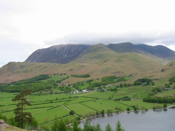
Buttermere village below the Grasmoor Fells from above Burtness Wood
Fleetwith Pike
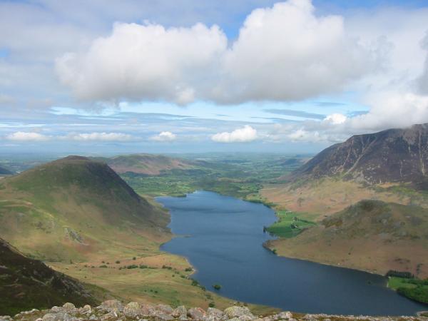
Mellbreak, Crummock Water, Rannerdale Knotts and Grasmoor from Dodd's summit

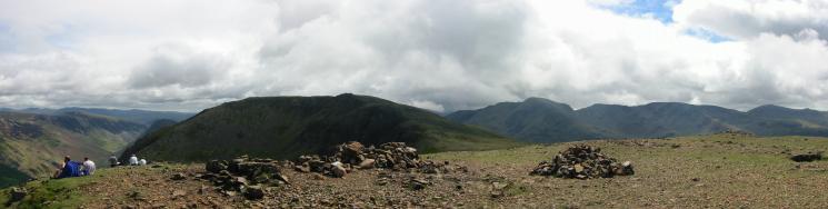
Panorama from Dodd's summit
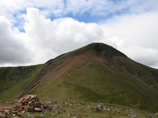
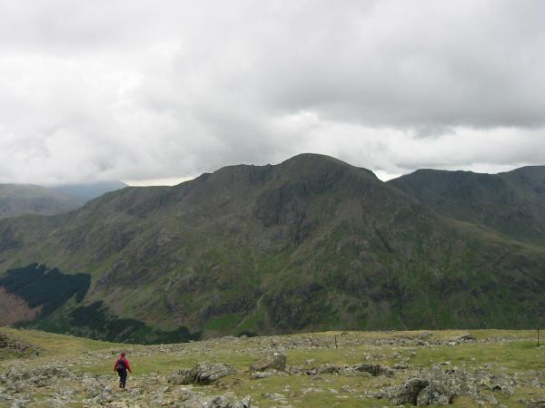
Looking across The Saddle to Red Pike from Dodd's summit
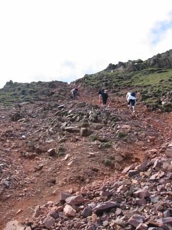
Ascending the red screes of Red Pike
The view north to Blencathra from Red Pike's summit
Red Pike's summit
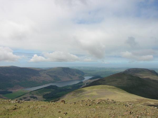
Ennerdale from Red Pike's summit

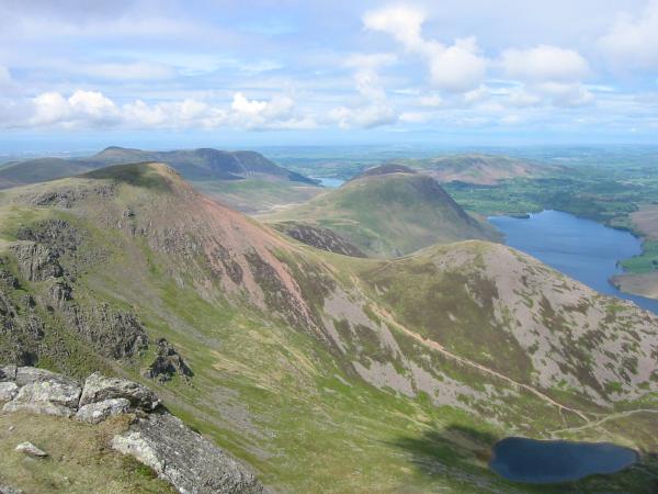
Grasmoor, Wandope, Eel Crag, Sail, Scar Crags and Skiddaw
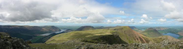
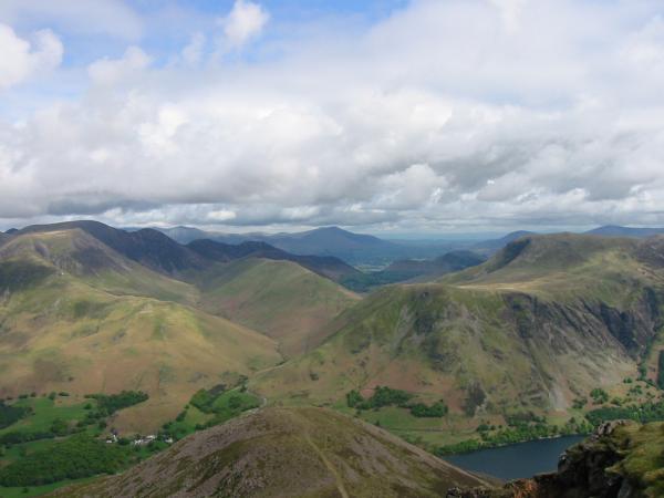
Westerly panorama from High Stile
Red Pike, Dodd and Bleaberry Tarn

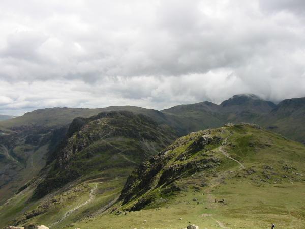
High Crag from High Stile

Looking down on Gatesgarth Farm. The far skyline is the Helvellyn ridge
Pillar
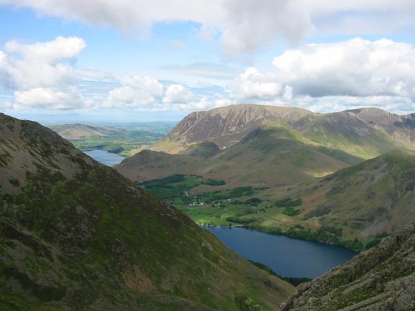
The Grasmoor fells

Looking back to High Stile from High Crag
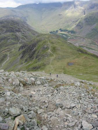
Looking down Gamlin End to Seat

Upper Ennerdale with the top of Great Gable lost in cloud but Kirk Fell clear
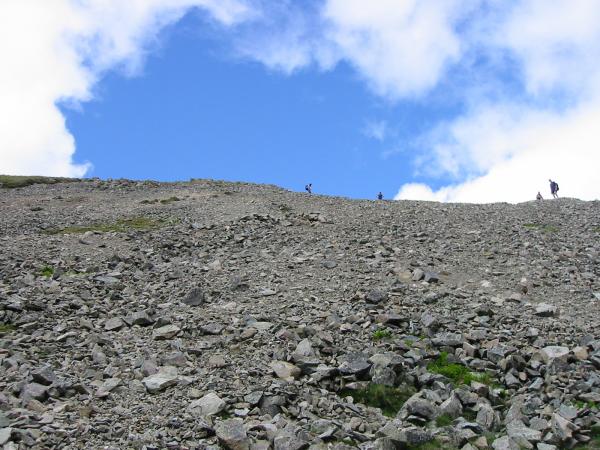
Looking back up the scree slope from our descent of Gamlin End

The bottom section of Gamlin End is now pitched, but still steep!
Haystacks and Seat

Looking back at Gamlin End from Seat
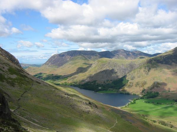
The Grasmoor Fells and Buttermere from above Scarth Gap
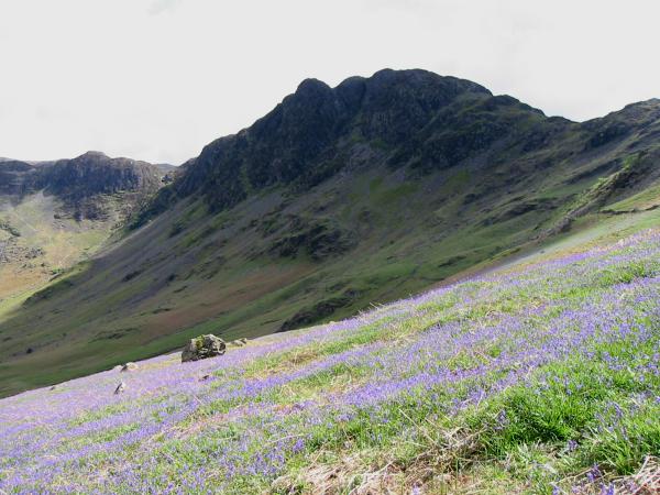
Looking across the bluebells to Haystacks from the Scarth Gap path

Fleetwith Pike
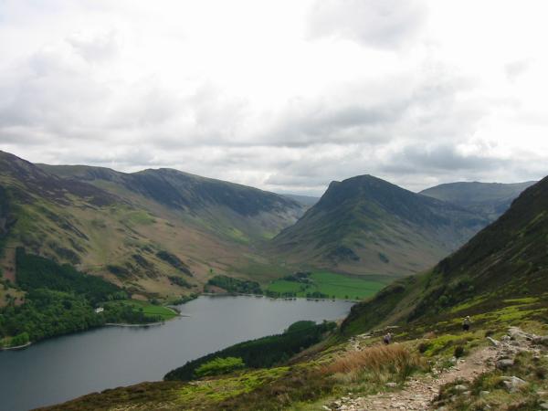
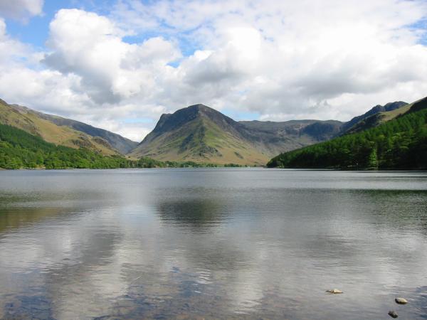
Buttermere
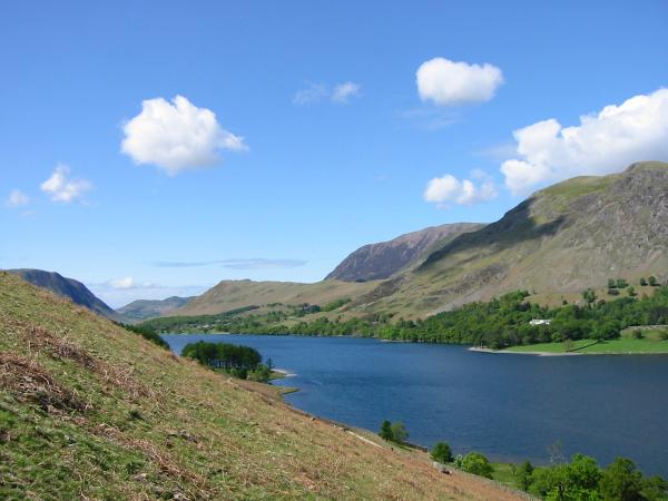
Looking up Buttermere to Fleetwith Pike
Previous Walk: Rannerdale Bluebells (Fri 14 May 2004)
Next Walk: Bowscale Fell (Sun 16 May 2004)