Tarn Hows, Black Crag & Hodge Close
Wed 14 Apr 2004
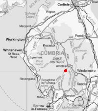
Route: Tarn Hows carpark - Tarn Hows - Black Fell (Black Crag) - Low Arnside - Hollin Bank - Tongue Intake - Low Oxen Fell - High Oxen Fell - Hodge Close Quarry - Uskdale Gap (Holme Fell) - Yew Tree Farm - Glen Mary Bridge - Tom Gill Waterfall - Tarn Hows - Tarn Hows carpark
Distance: 6.00 miles
Ascent: 1,250ft
Time: 4 hours
With: Gordon, Gail and Guy
Notes:
Overcast, dull
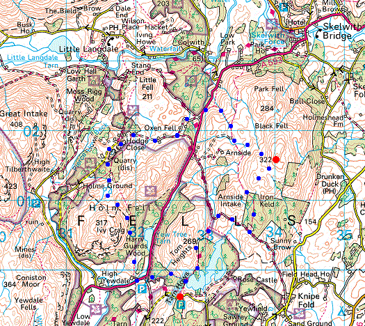
© Crown copyright. All rights reserved. Licence number AL100038401
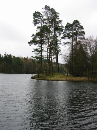
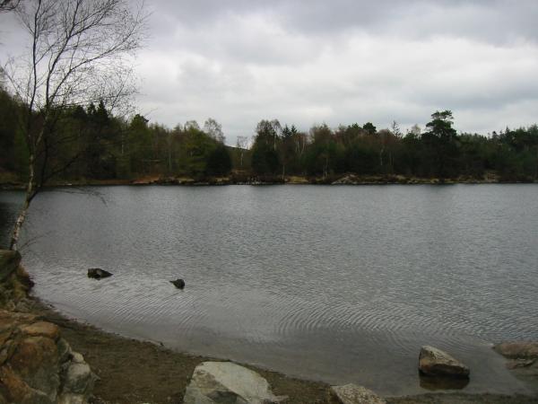
Tarn Hows
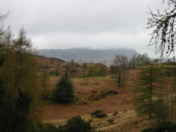
The top of Wetherlam lost in cloud
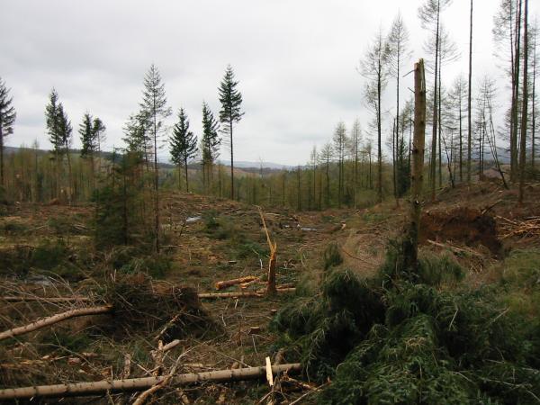
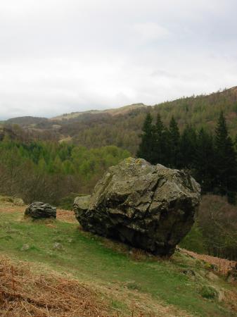
Not much left of Iron Keld Plantation
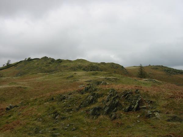
Looking towards Black Crag's summit
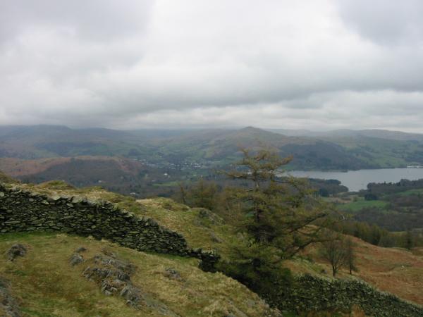
Ambleside and the head of Windermere from Black Crag's summit
The isolated farmhouse of Low Arnside
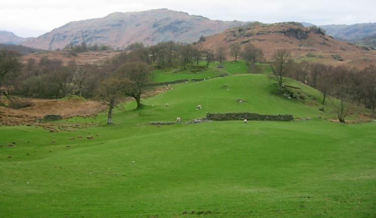
Green fields near High Oxen Fell with Lingmoor Fell behind
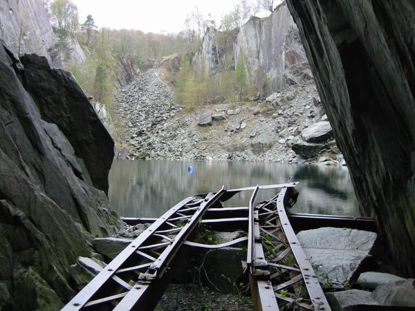
Hodge Close Quarry
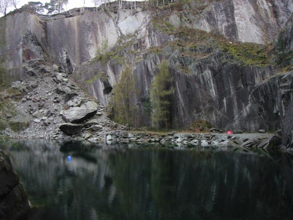
Hodge Close Quarry
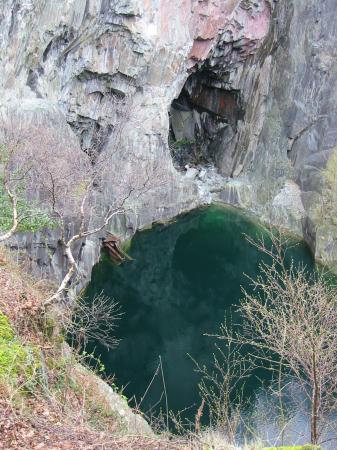
Hodge Close - Looking down on the platform and lake from above
The Langdale Pikes from Holme Fell
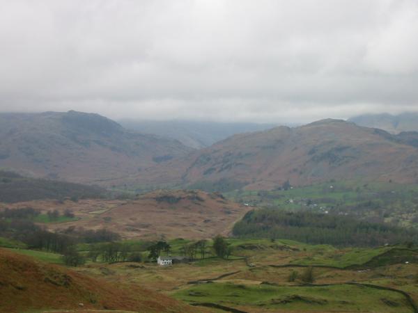
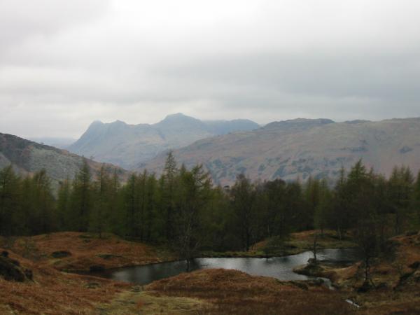
Looking towards Black Crag from above Yew Tree Tarn
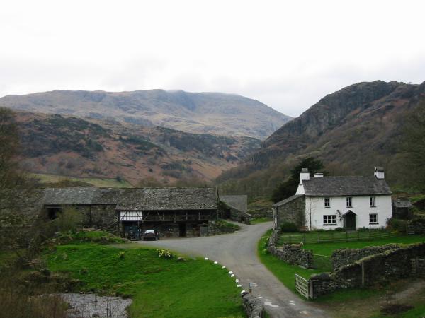
Yew Tree Farm with Wetherlam behind
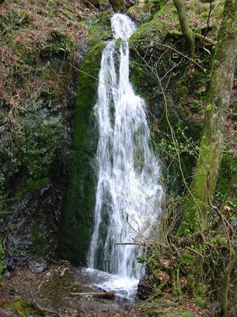
Tom Gill Waterfall
Back at Tarn Hows
Previous Walk: Lowther Park (Sat 10 Apr 2004)
Next Walk: Causey Pike and Scar Crags (Wed 21 Apr 2004)