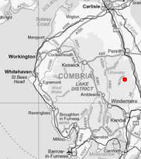
The Naddle Horseshoe from Swindale
Sun 21 Mar 2004
Route: Swindale - Scalebarrow Knott - Harper Hills - Hare Shaw - a nameless top (1,427ft) - a nameless top (1,345ft) - Hugh's Laithes Pike - a nameless top (1,296ft) - Naddle Valley - Scalebarrow Knott - Swindale
Distance: 7.00 miles
Ascent: 1,450ft
Time: 3 hours 35 minutes
With: Anne
Notes:
Broken cloud and sunshine to start becoming overcast with rain and hail showers.
A. Wainwright's 'The Naddle Horseshoe' walk in his book 'The Outlying Fells of Lakeland' [page 224].
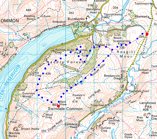
© Crown copyright. All rights reserved. Licence number AL100038401
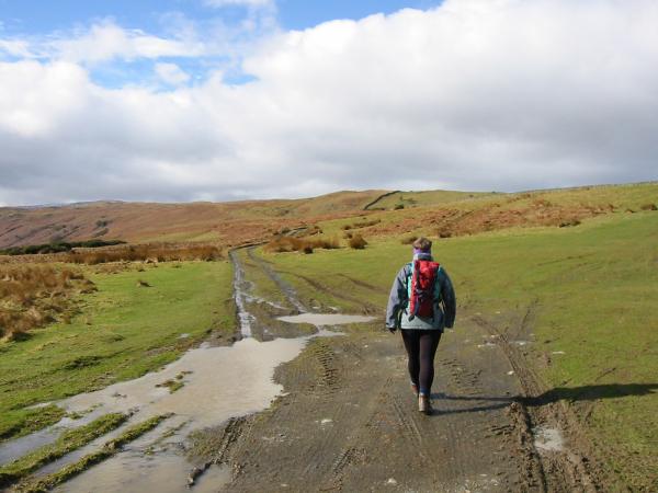
Setting off in the sunshine. Scalebarrow Knott our first summit of the day is just to the left of the wall in the distance
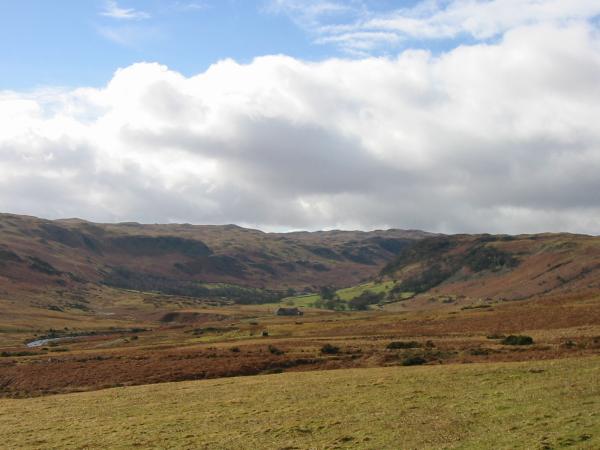
Looking into Swindale
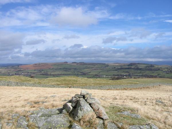
Knipescar Common from the cairn on the summit of Scalebarrow Dodd
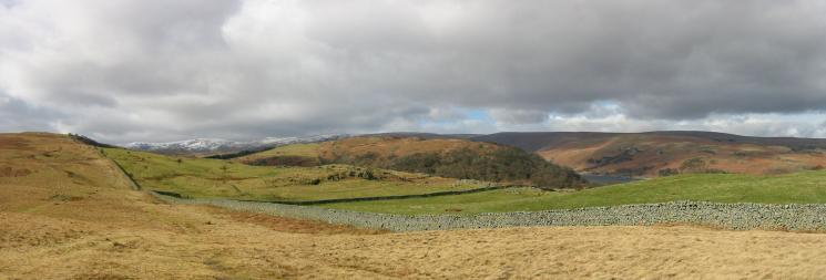
Harper Hills (our next objective) on the far left, snow on the High Street fells in the distance, Naddle Forest (the other side of today's horseshoe)
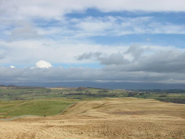
Looking east to the Pennines from the route up Harper Hills
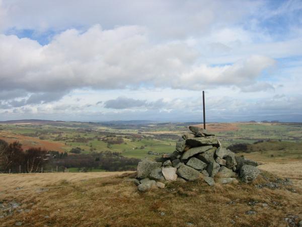
Looking north towards Bampton from the cairn on Harper Hills
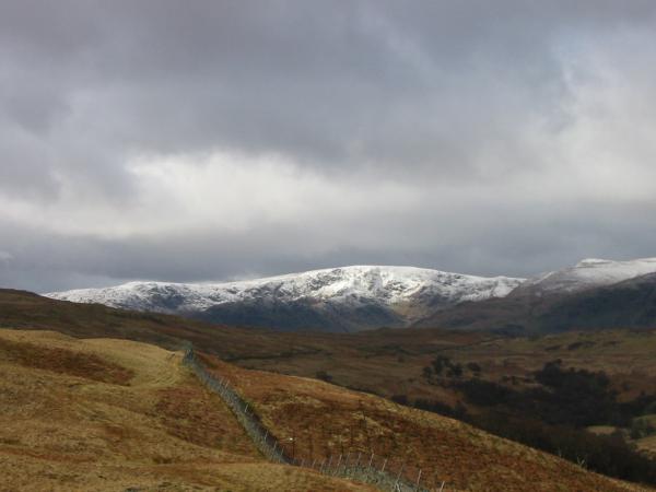
Snow on Mardale Ill Bell, High Steet and Kidsty Pike
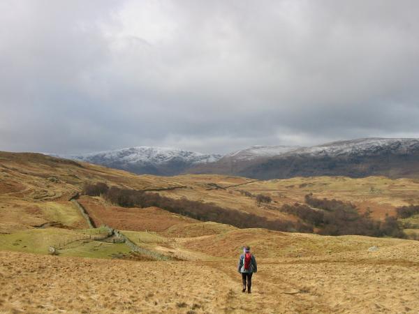
Heading for Hare Shaw
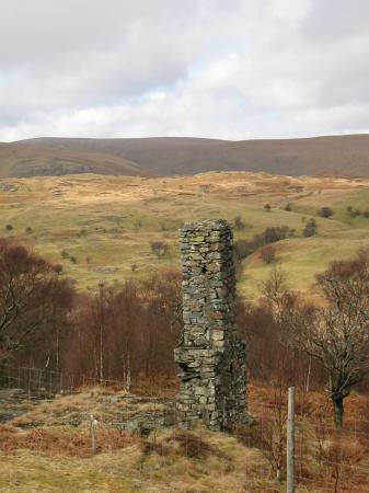
A chimney stack, all that remains of a building on the side of Powley's Hill

The Naddle Valley from the chimney on the side of Powley's Hill

Rainbow over Naddle Forest
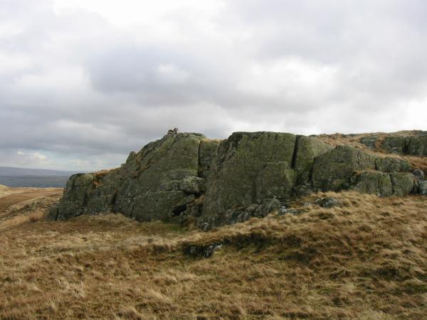
The first top of Hare Shaw
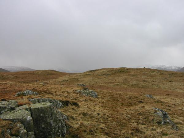
The second and third top of Hare Shaw from the first
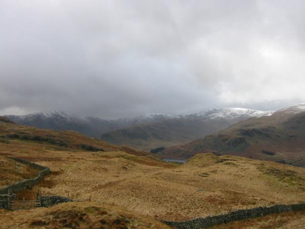
Harter Fell, Mardale Ill Bell and High Street getting some weather!
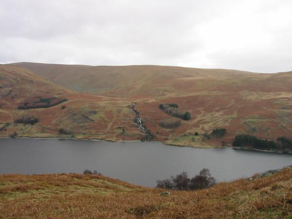
Looking across Haweswater to Measand Beck
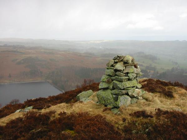
Haweswater dam from the cairn on Hugh's Laithes Pike
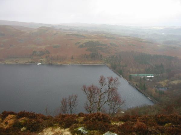
Looking down on Haweswater dam from Hugh's Laithes Pike
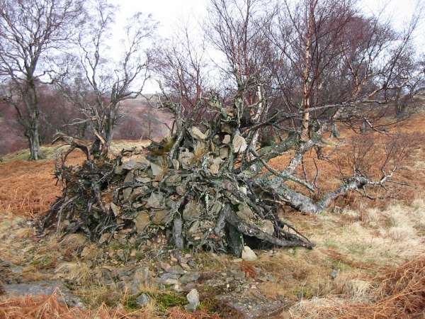
A fallen tree, rocks and roots
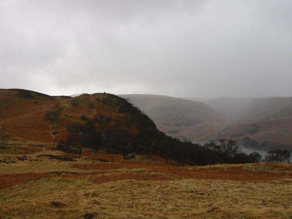
Looking back to Hugh's Laithes Pike
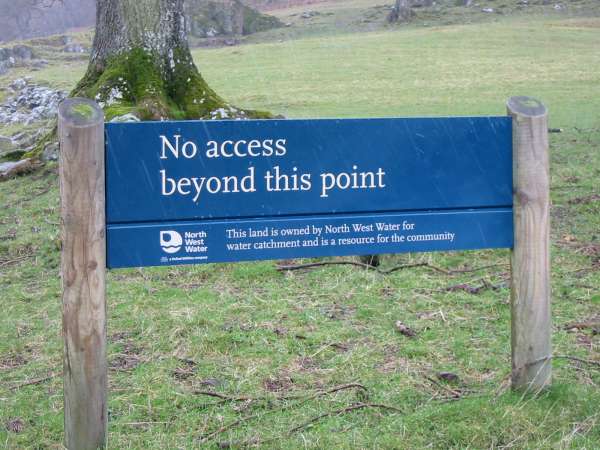
Waterboard sign near Naddle Farm
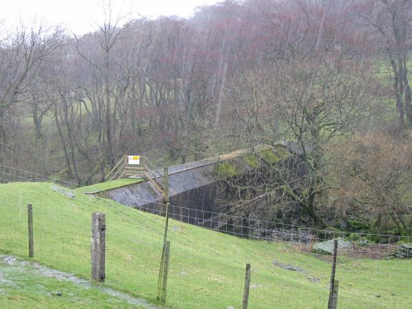
The aqueduct crossing Naddle Beck taking water from Swindale to Haweswater
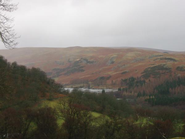
Haweswater from the bridleway back up onto Scalebarrow Knott
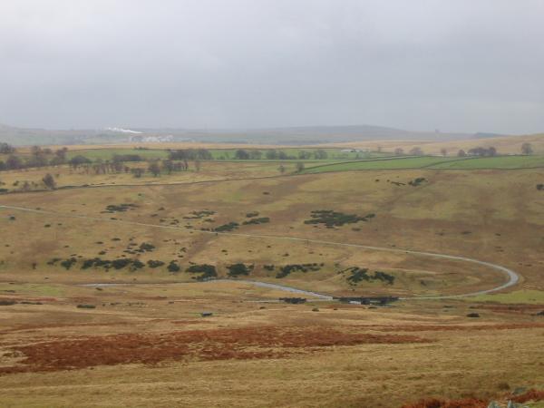
The works at Shap and the private water company access road to Haweswater
Previous Walk: Bowfell from Eskdale (Wed 17 Mar 2004)
Next Walk: Pike O'Blisco (Thu 25 Mar 2004)
