High Raise from Grasmere
Sat 21 Feb 2004
Route: Grasmere Village - Underhelm - Steel Fell - Steel Fell Tarn - Calf Crag - Greenup Edge - Low White Stones - High Raise - Sergeant Man - Blea Rigg - Silver How - Wray Gill - Allan Bank - Grasmere Village
Distance: 12.25 miles
Ascent: 3,250ft
Time: 5 hours 50 minutes
With: Anne
Notes:
Blue sky, sunshine, hazy
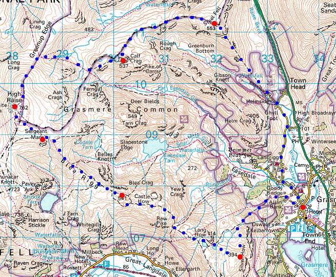
© Crown copyright. All rights reserved. Licence number AL100038401
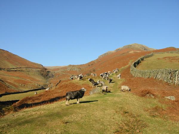
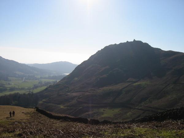
Steel Fell's southeast ridge, our line of ascent
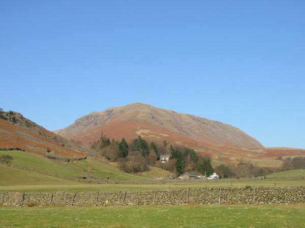
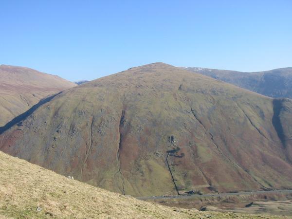
The Greenburn Valley and Steel Fell
Helm Crag from the ridge
Seat Sandal from the ridge
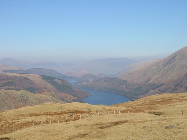
Thirlmere from Steel Fell
Looking down on to Greenburn Bottom
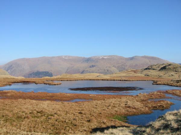
The Helvellyn ridge from one of the tarns on the ridge to Calf Crag
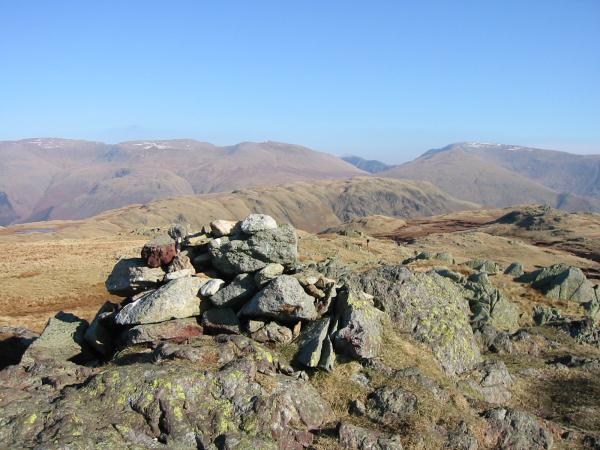
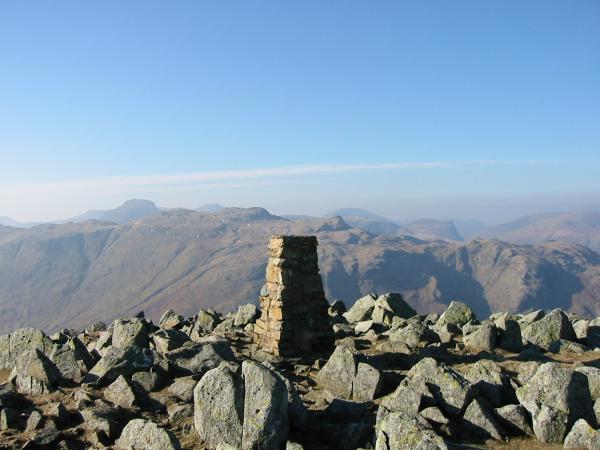
Steel Fell and the eastern fells from Calf Crag's summit cairn
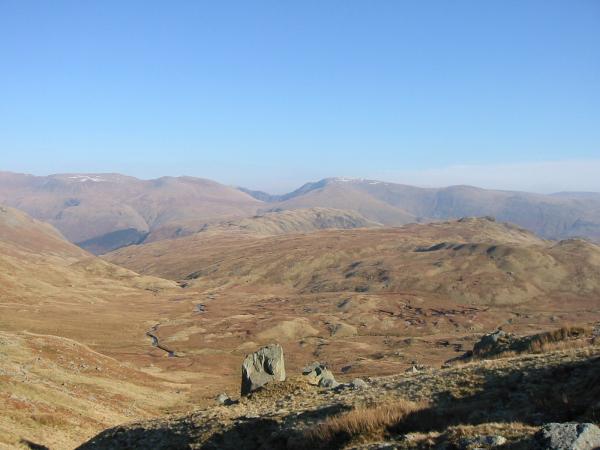
'The Bog' and Calf Crag from the path up to Greenup Edge
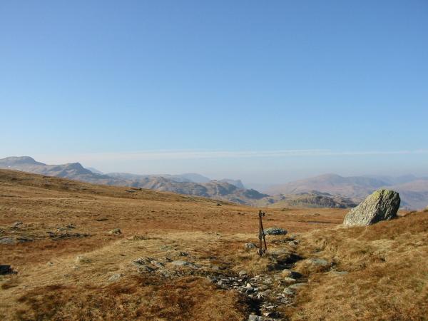
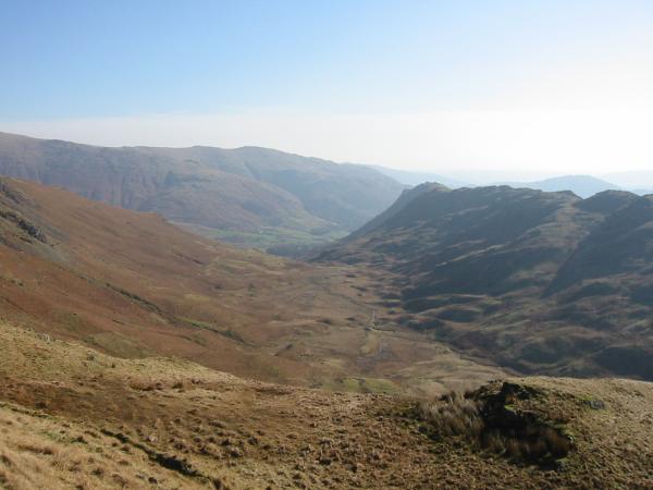
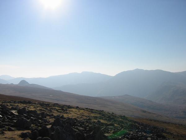
The view west from Greenup Edge
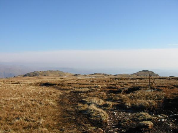
Ullscarf from Low White Stones
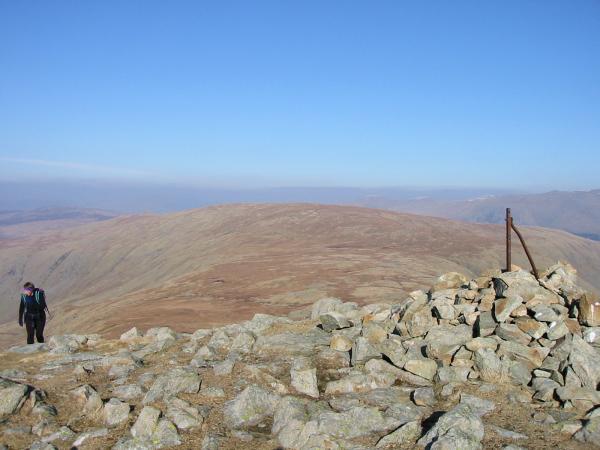
Great Gable, Glaramara and Honister Crag from High White Stones, High Raise's summit
Pike O' Stickle, Crinkle Crags and Bowfell from High Raise
Codale Head and Sergeant Man from High Raise
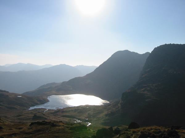
Stickle Tarn, Harrison Stickle and Pavey Ark from the descent to Blea Rigg
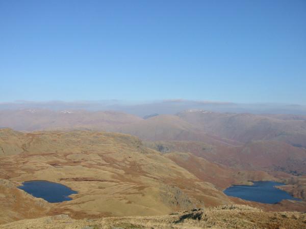
Codale Tarn and Easedale Tarn from the ridge to Blea Rigg
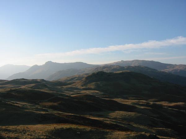
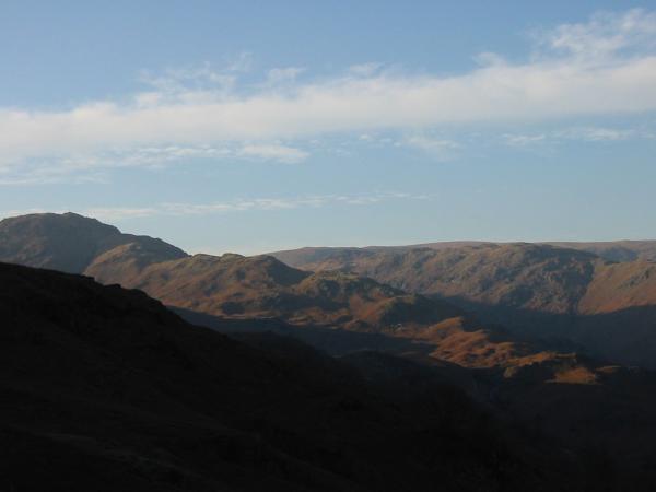
Looking back to the Langdale Pikes and High Raise from Silver How
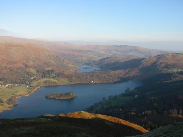
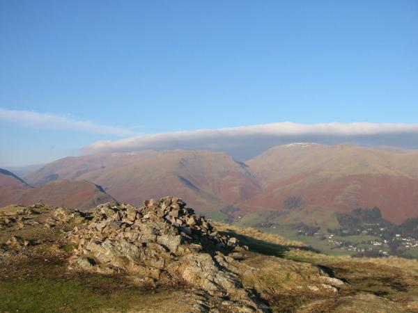
Grasmere and Rydal Water from Silver How
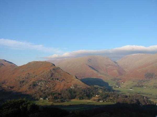
Seat Sandal and Fairfield from Silver How's summit cairn

360 Panorama from Silver How's summit
Helm Crag, Seat Sandal and Fairfield from the descent back to Grasmere
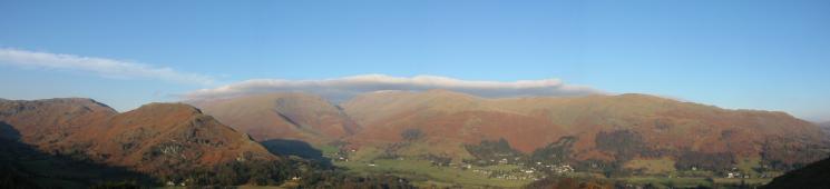
Grasmere panorama from Silver How
Tarn Crag's east ridge
Previous Walk: Skiddaw plus (Thu 19 Feb 2004)