Scafell Pike from Seathwaite
Mon 9 Feb 2004
Route: Seathwaite, Borrowdale - Stockley Bridge - Grains Gill - Esk Hause - Calf Cove - Broad Crag Col - Scafell Pike - Corridor Route - Sty Head - Styhead Tarn - Styhead Gill - Stockley Bridge - Seathwaite
Distance: 9.50 miles
Ascent: 3,200ft
Time: 5 hours 20 minutes
With: On Own
Notes:
Overcast, icy paths, snow on the tops
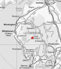
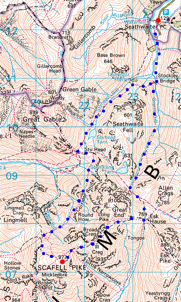
© Crown copyright. All rights reserved. Licence number AL100038401
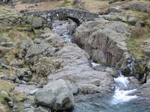
Stockley Bridge
Looking north back down Grains Gill
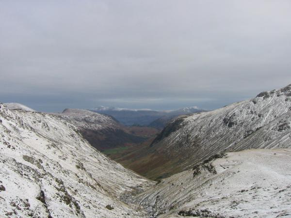
Looking north back down Grains Gill with Skiddaw and Blencathra in the distance
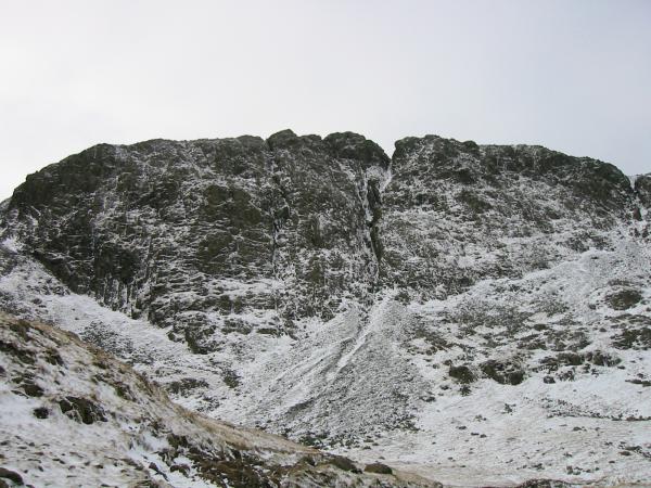
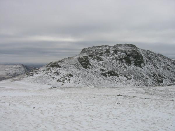
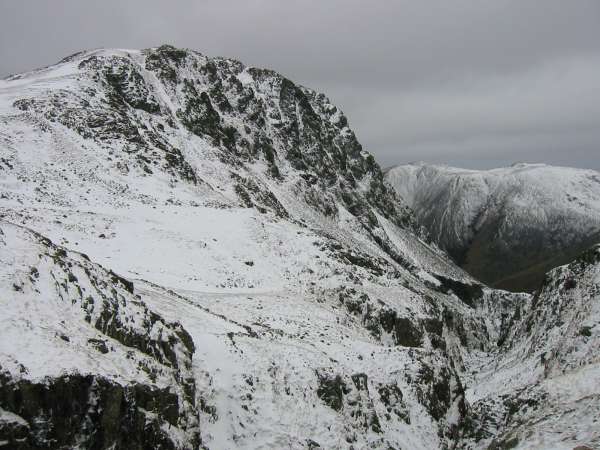
Great End
Great Gable and Green Gable from the route up to Esk Hause
The view north to Skiddaw and Blencathra
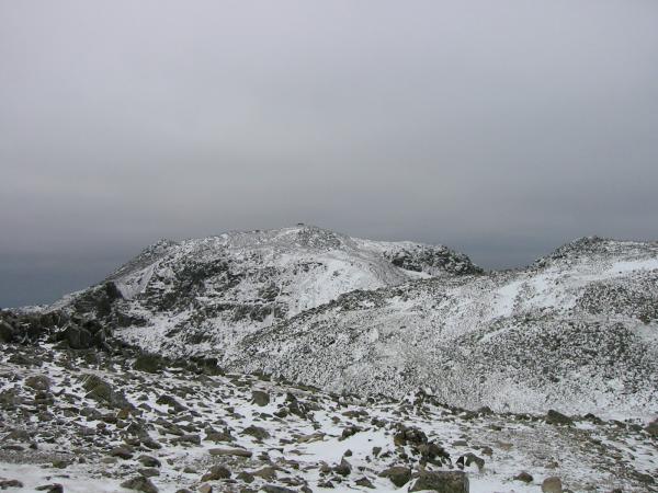
Esk Pike
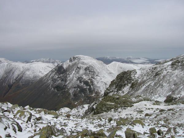
Great Gable from Ill Crag
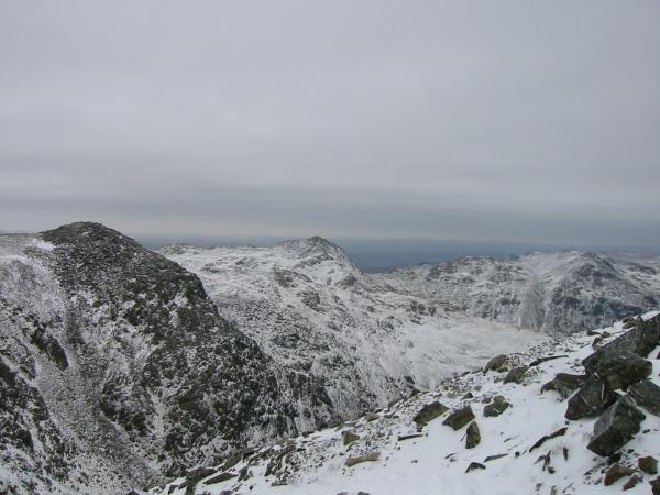
Scafell Pike with the summit of Broad Crag on the right from the path across Ill Crag
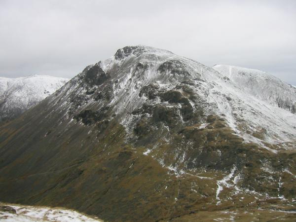
Lingmell from Broad Crag col
Ill Crag, Bowfell and Crinkle Crags from the final slope to Scafell Pike's summit
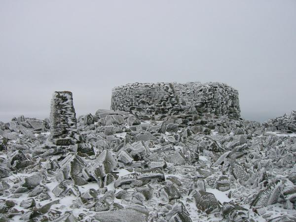
Scafell Pike summit

360 Panorama from Scafell Pike's summit
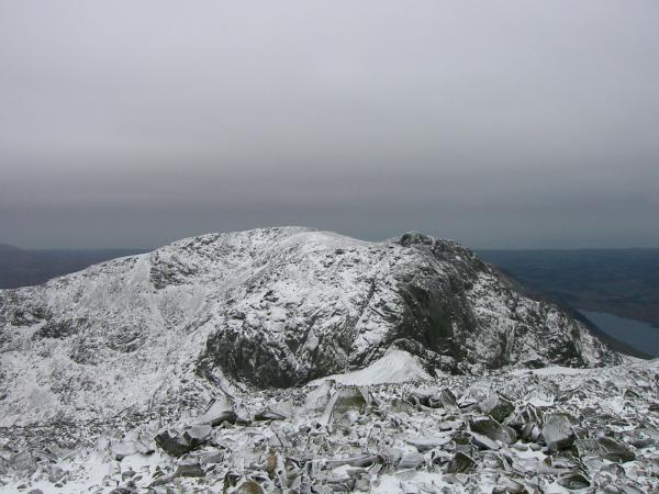
Scafell from Scafell Pike's summit with Wastwater on the far right
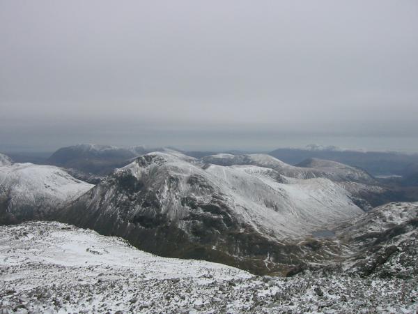
Great Gable from Scafell Pike's summit
Lingmell from the top of Piers Gill
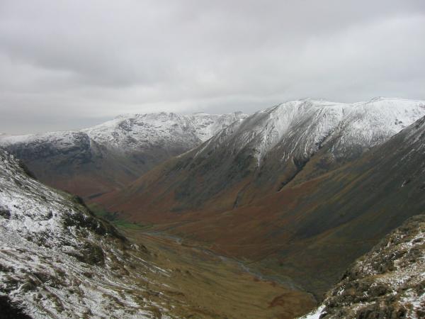
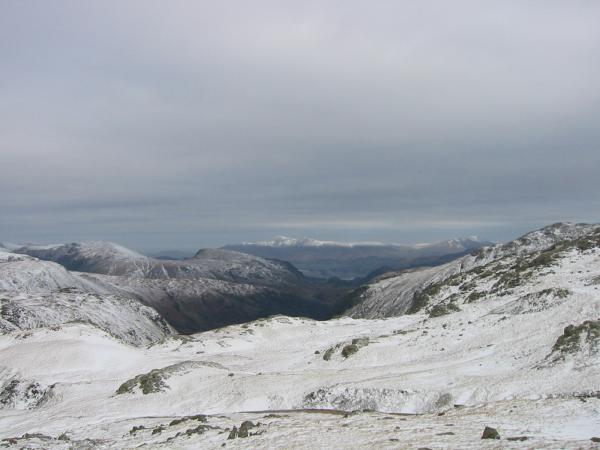
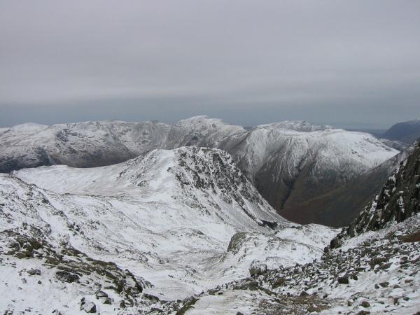
Looking down into Wasdale from the Corridor Route
Great Gable from the Corridor Route
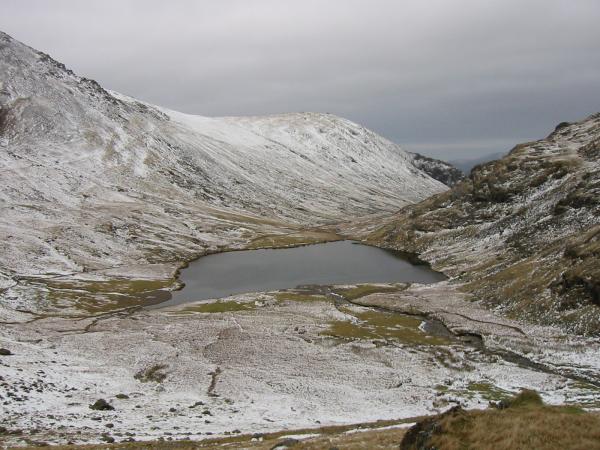
Styhead Tarn
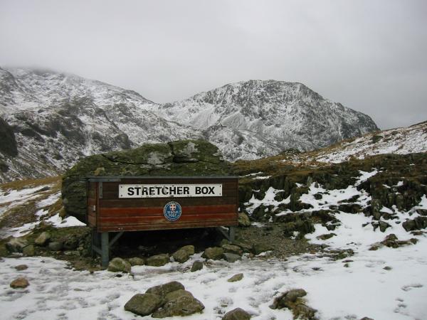
The mountain rescue stretcher box at Sty Head
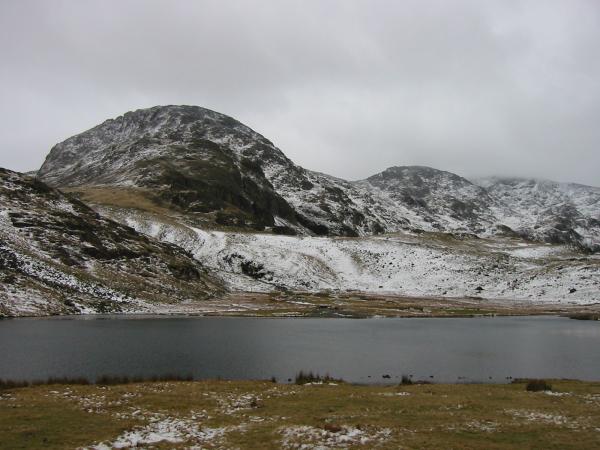
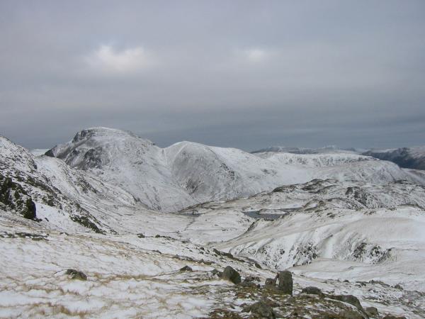
Great End from Styhead Tarn
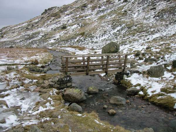
Bridge across Styhead Gill
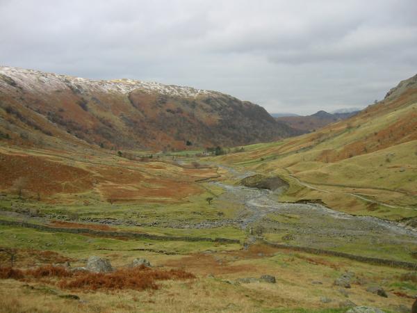
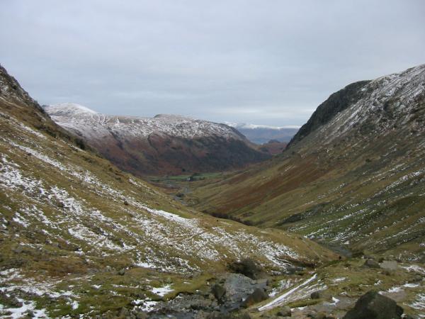
Upper Borrowdale
Previous Walk: Heughscar Hill from Pooley Bridge (Sun 8 Feb 2004)
Next Walk: Catbells (Sat 14 Feb 2004)