Hartsop Above How, Hart Crag and Dovedale
Thu 18 Dec 2003
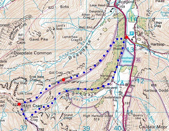
Route: Cow Bridge - Hartsop Above How - Hart Crag - Dovedale - Hartsop Hall - Brothers Water - Cow Bridge
Distance: 5.75 miles
Ascent: 2,400ft
Time: 3 hours 30 minutes
With: On Own
Notes:
Blue sky and high cloud to the east, cloudy to the west, a bitterly cold wind on the tops
© Crown copyright. All rights reserved. Licence number AL100038401
Angletarn Pikes from the climb up to the ridge from Cow Bridge
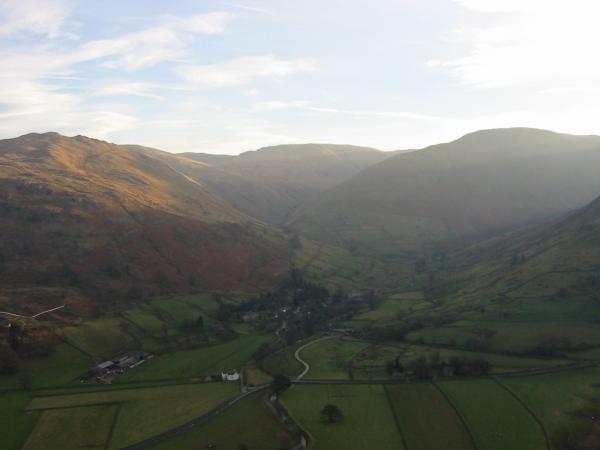
Hartsop with Brock Crags catching the sun
Looking back down the ridge to Place Fell
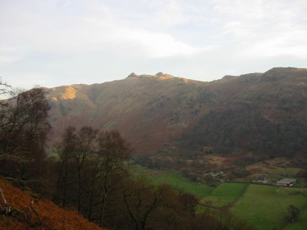
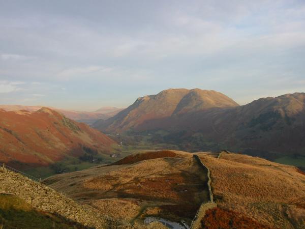
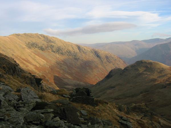
Hartsop Above How with Dove Crag, Hart Crag and Fairfield on the skyline from Gale Crag

360 Panorama from Hartsop Above How's summit
Fairfield
The ridge up to Hart Crag
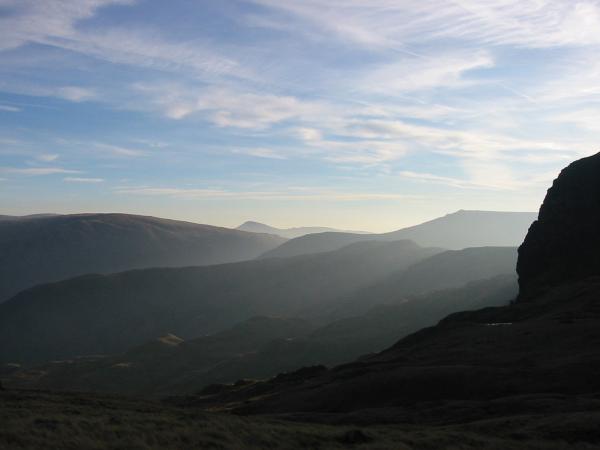
The far eastern fells with Dove Crag on the right
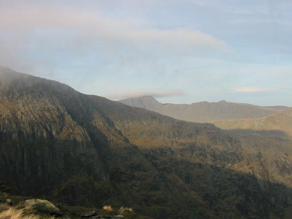
Helvellyn with its top just in cloud
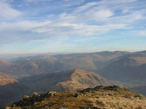
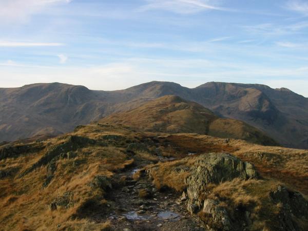
Looking back towards Hartsop Above How with the High Street Fells beyond
Great Rigg from Hart Crag's summit
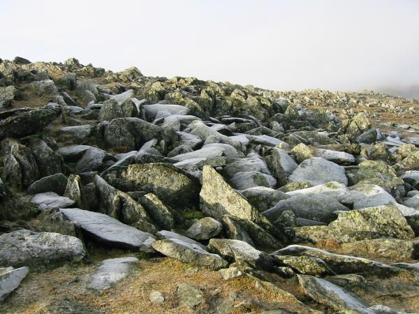
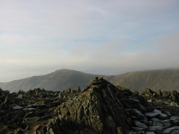
Hoarfrost on summit boulders, Hart Crag
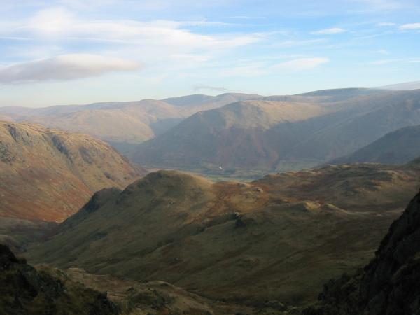
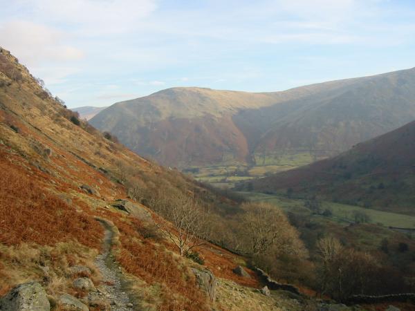
Looking out over Stangs to the far eastern fells from the descent into Dovedale
Hartsop Above How from near the bottom of the scree gully
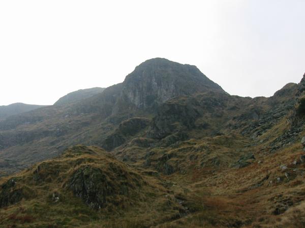
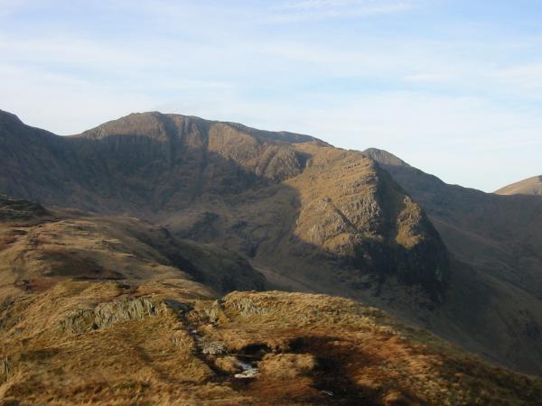
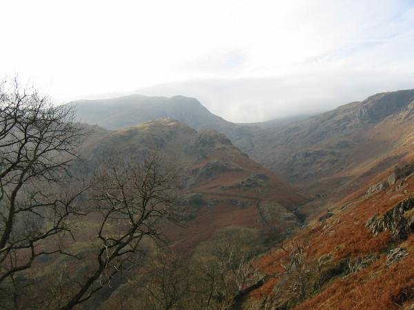
Dove Crag from below
Dovedale
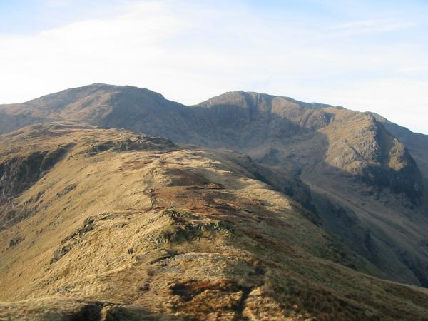
Looking back up Dovedale to Dove Crag
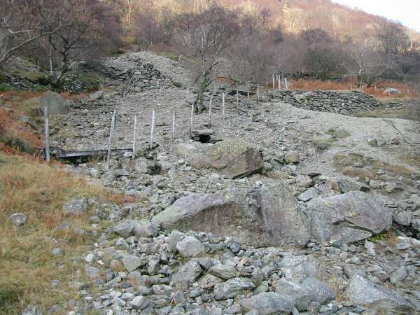
Old mine workings near Hartsop Hall
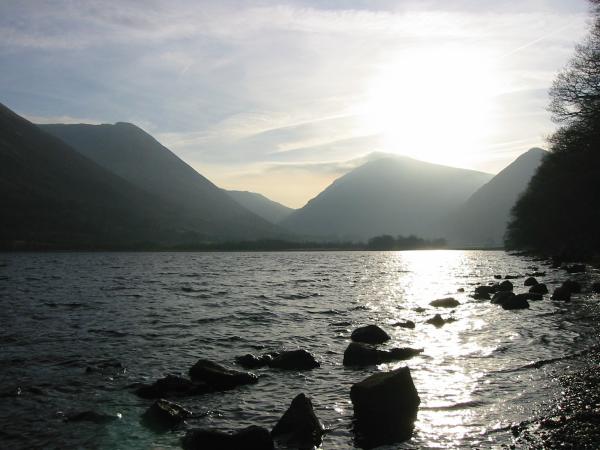
Brothers Water, looking towards Kirkstone Pass
Previous Walk: Scafell (Mon 15 Dec 2003)
Next Walk: Latrigg (Sun 21 Dec 2003)