Scafell
Mon 15 Dec 2003
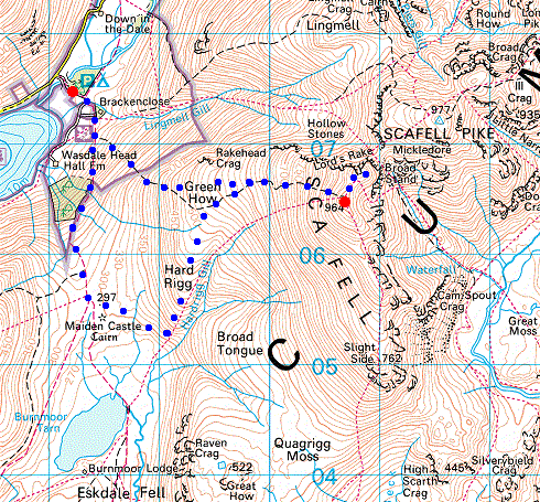
Route: Brackenclose, Wasdale - Green How - Scafell - Symonds Knott - Green How - Hard Rigg - Brackenclose
Distance: 6.00 miles
Ascent: 3,000ft
Time: 5 hours
With: Anne
Notes:
Blue sky and sunshine
© Crown copyright. All rights reserved. Licence number AL100038401
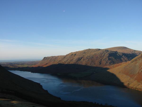
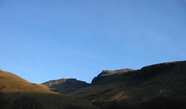
Looking over Wastwater to Buckbarrow, Middle Fell and Seatallan
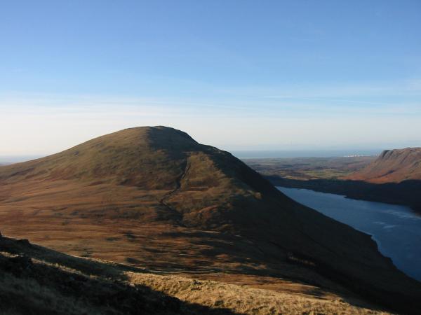
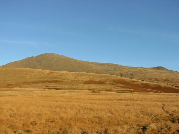
Illgill Head
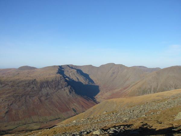
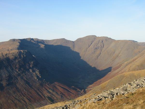
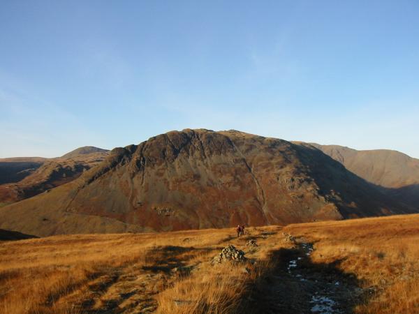
Mosedale and Pillar
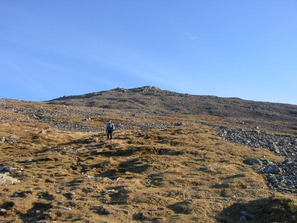
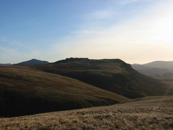
Burnmoor Tarn and Illgill Head from the ascent of Scafell
The sea to Great Gable from the ascent of Scafell
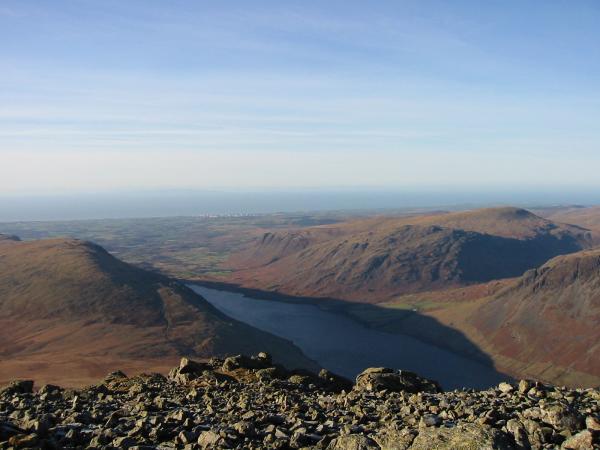
Wastwater from Scafell's summit
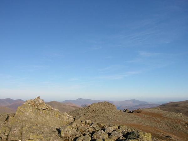
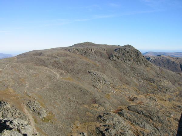
Scafell summit with Symonds Knott just beyond and Skiddaw and Blencathra in the far distance

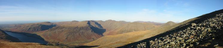
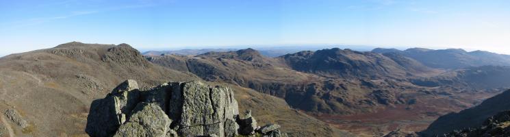
360 Panorama from Scafell's summit
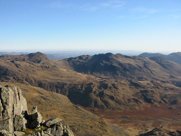
Bowfell and Crinkle Crags with Great Moss far below
Scafell Pike to the Coniston Fells from Scafell
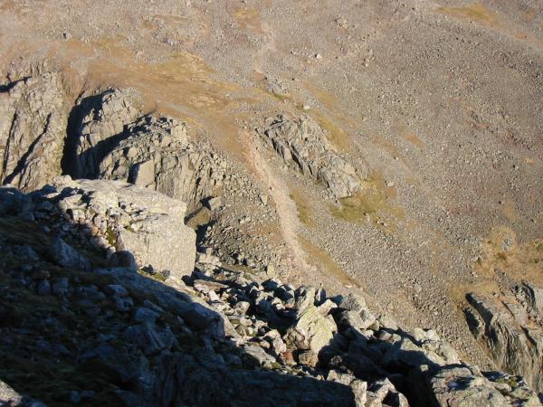
Looking down on Mickledore only 300ft below with just Broad Stand in the way!
Looking across Mickledore to Scafell Pike
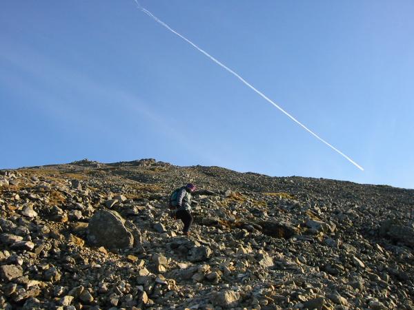
Descending from Scafell's summit
Descending from Scafell's summit
Mosedale ringed by Yewbarrow, Red Pike, Scoat Fell (behind Red Pike), Black Crag, Pillar and Looking Stead
Great How with Harter Fell, Eskdale in the distance on the left
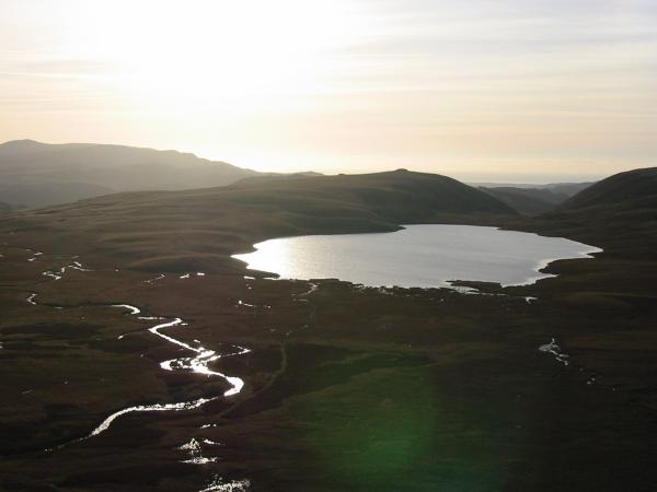
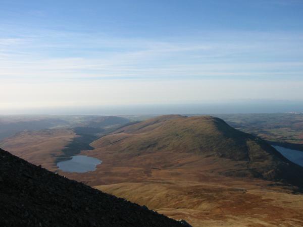
Burnmoor Tarn
Looking back to Scafell with Slight Side on the right
Yewbarrow from the descent
Scafell Pike and Scafell from near Brackenclose
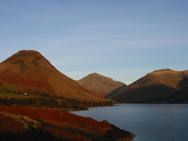
Classic Wasdale Head - Yewbarrow, Great Gable and Lingmell
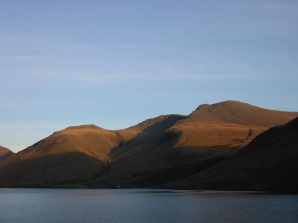
Lingmell, Scafell Pike and Scafell
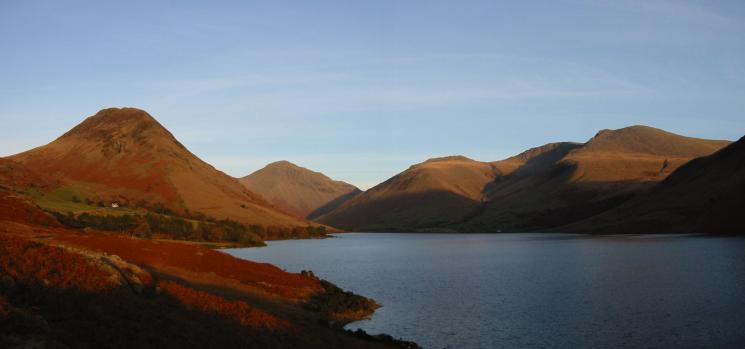
Classic Wasdale Head - Yewbarrow, Great Gable, Lingmell, Scafell Pike and Scafell
Previous Walk: Pillar (Sun 14 Dec 2003)
Next Walk: Hartsop Above How, Hart Crag and Dovedale (Thu 18 Dec 2003)