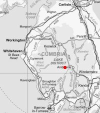
Little Langdale and Lingmoor Fell
Thu 16 Oct 2003
Route: Blea Tarn Carpark - Blea Tarn - Fell Foot - Little Langdale - Cathedral Quarry - Slater Bridge - Dale End - Lingmoor Fell - northwest ridge - Blea Tarn - Blea Tarn Carpark
Distance: 6.50 miles
Ascent: 1,300ft
Time: 3 hours 30 minutes
With: On Own
Notes:
Blue sky and sunshine
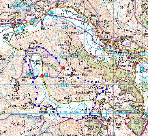
© Crown copyright. All rights reserved. Licence number AL100038401
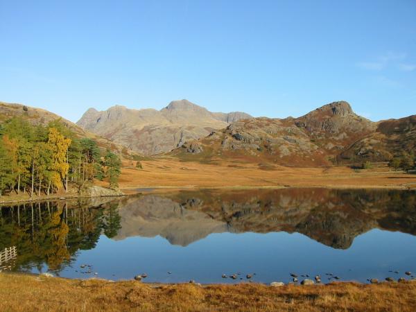
Langdale Pikes and Side Pike from Blea Tarn
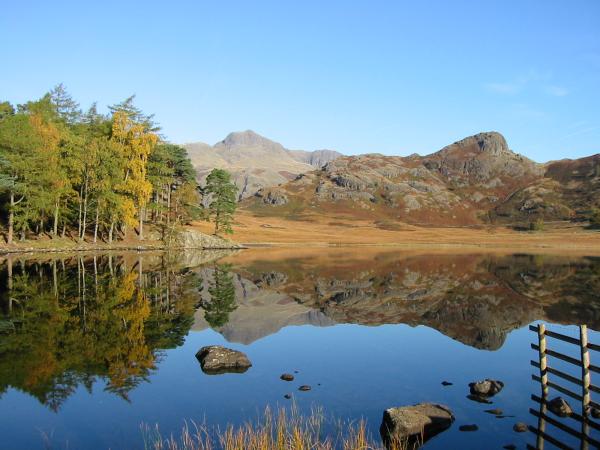
Langdale Pikes and Side Pike from Blea Tarn
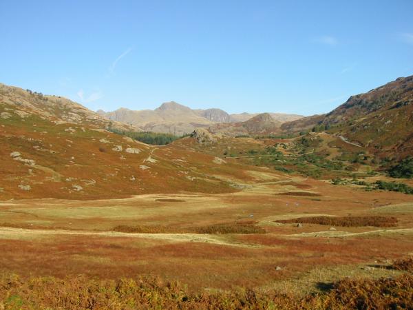
Looking across Blea Moss to the Langdale Pikes
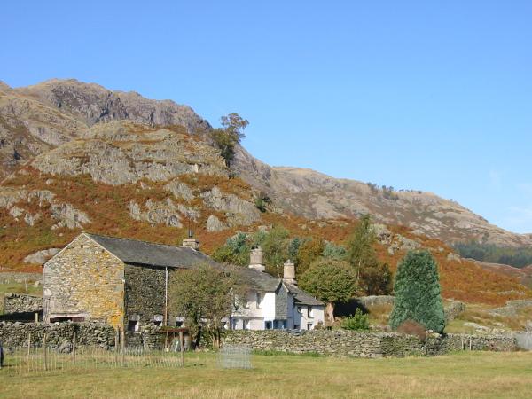
Fell Foot Farm
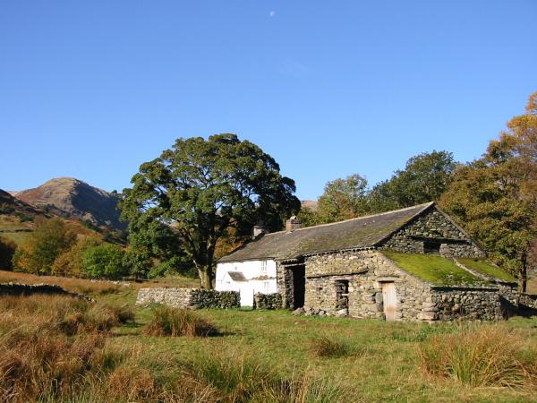
Bridge End
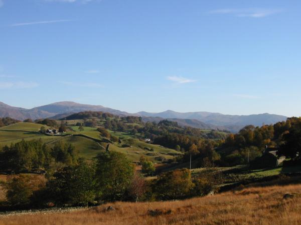
Looking east to Red Screes, the Ill Bell ridge and Wansfell
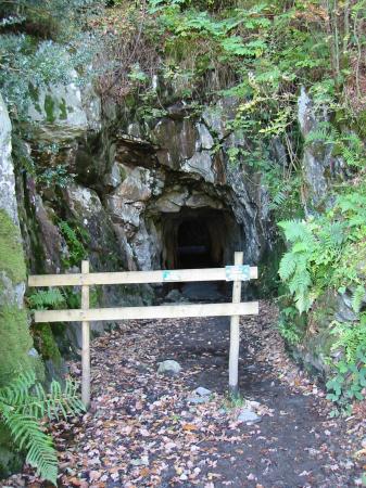
Looking in the tunnel entrance to Cathedral Quarry
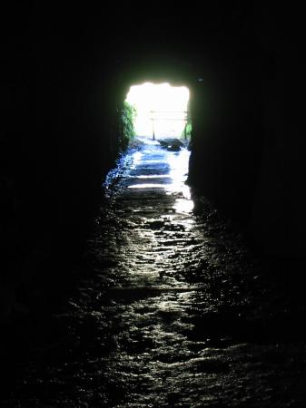
Looking out of the tunnel entrance to Cathedral Quarry
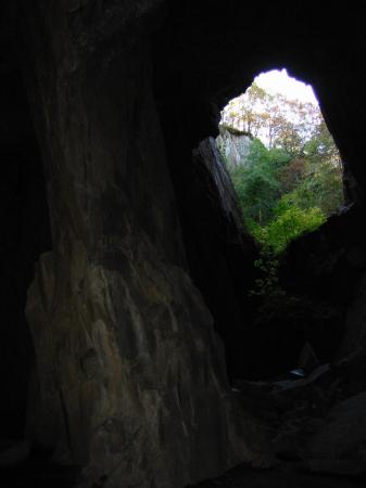
The pillar and 'window', Cathedral Quarry
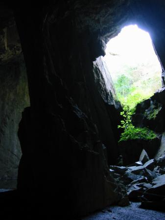
The pillar and 'window', Cathedral Quarry
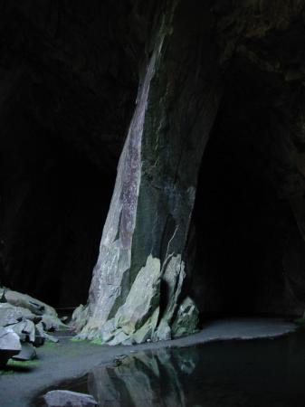
The pillar, Cathedral Quarry
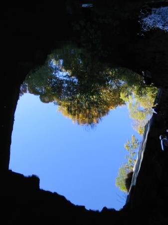
The window, Cathedral Quarry, reflecting in the pool
Goldfish in the pool, Cathedral Quarry!
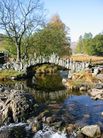
Slater Bridge
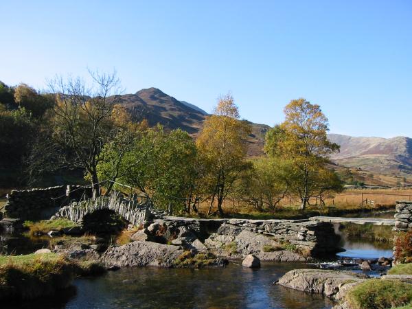
Slater Bridge
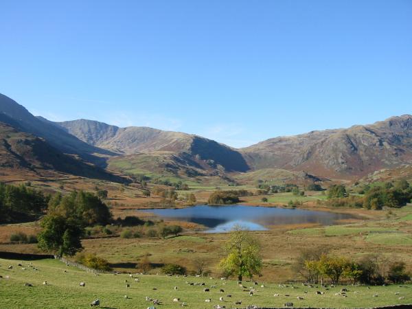
Little Langdale Tarn. The low point on the skyline is Wrynose Pass
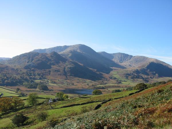
Wetherlam, Swirl How, Great Carrs and Wet Side Edge
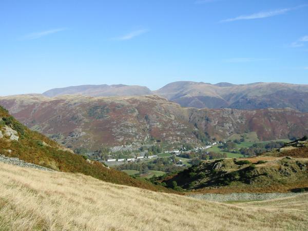
Chapel Stile with Silver How behind and the Helvellyn and Fairfield fells on the skyline

Skyline: Helvellyn range, Fairfield horseshoe, Red Screes and the Ill Bell ridge. The near ridge is Silver How leading to Loughrigg Fell
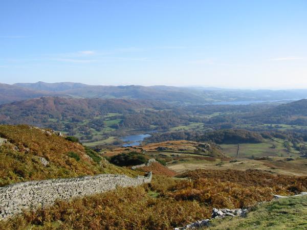
Elter Water and Windermere from Lingmoor Fell
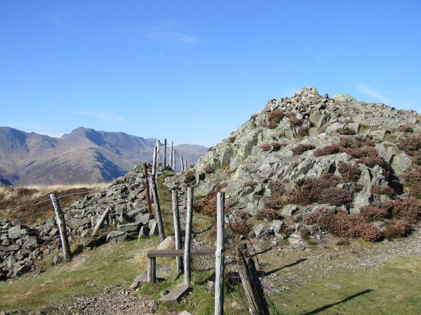
Lingmoor Fell's summit with The Band, Bowfell in the distance

360 Panorama from Lingmoor Fell's summit
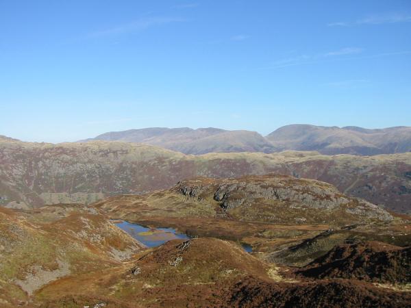
Looking over Lingmoor Tarn towards Helvellyn
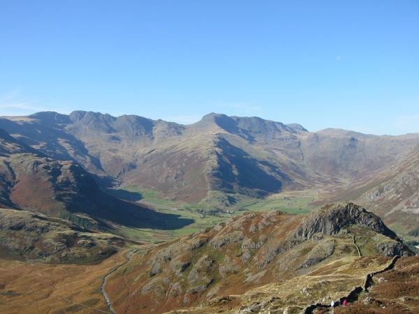
Crinkle Crags and Bowfell
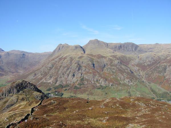
Side Pike and the Langdale Pikes

Side Pike panorama from Lingmoor Fell's northwest ridge
Previous Walk: Boat How and Burnmoor Tarn (Wed 15 Oct 2003)
Next Walk: Loughrigg Fell (Mon 20 Oct 2003)
