Loughrigg Fell
Mon 20 Oct 2003
Route: White Moss Common - Grasmere - Deerbolts Wood - Loughrigg Fell - Lily Tarn - Todd Crag - Loughrigg Cave - White Moss Common
Distance: 6.00 miles
Ascent: 1,200ft
Time: 2 hours 50 minutes
With: On Own
Notes:
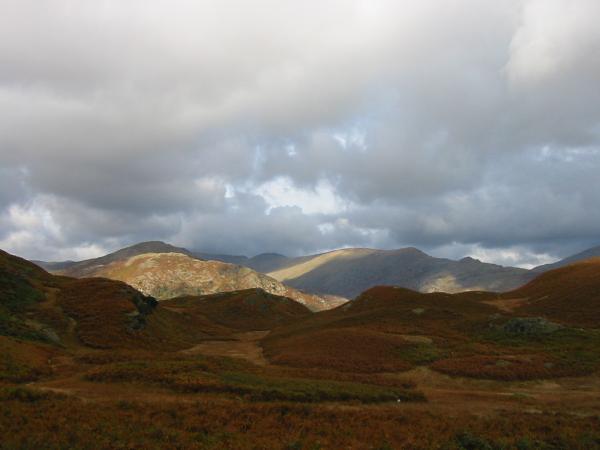
Broken cloud, base mostly above the high fell tops

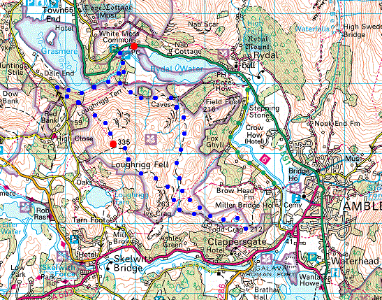
© Crown copyright. All rights reserved. Licence number AL100038401
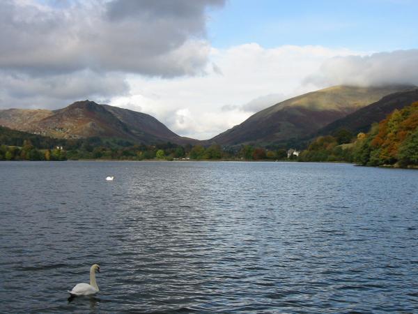
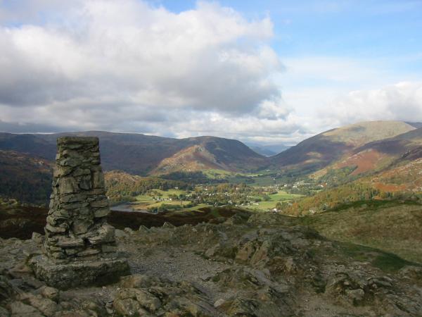
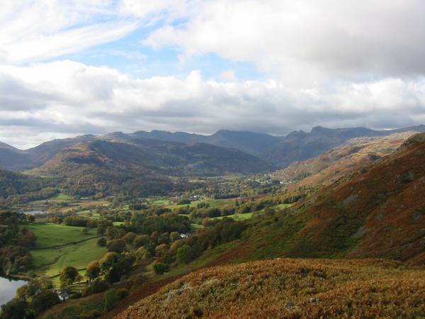
Looking across Grasmere to Helm Crag and Dunmail Raise
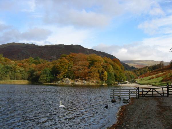
Penny Rock, Grasmere
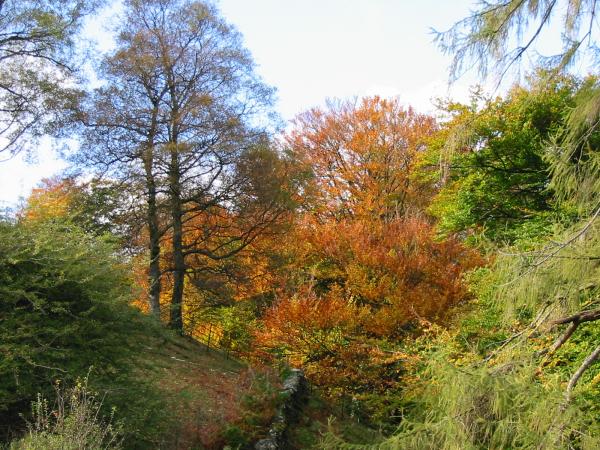
Autumn colour
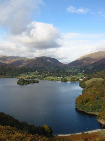
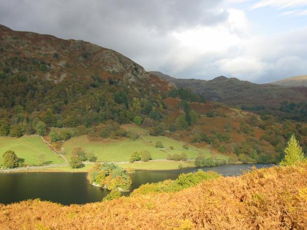
Grasmere
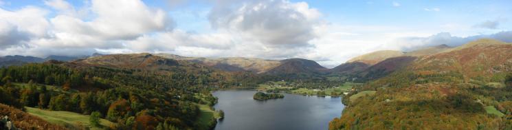
Grasmere panorama from the ascent of Loughrigg Fell
Elter Water and the Coniston Fells from Loughrigg Fell summit
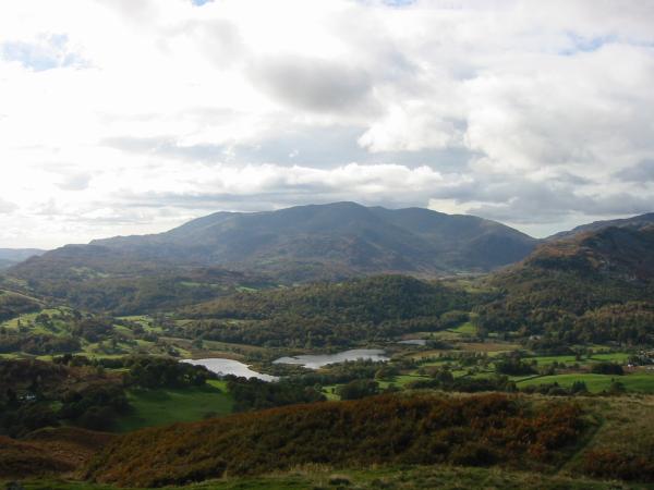
Grasmere from Loughrigg' Fell's summit

360 Panorama from Loughrigg Fell's summit
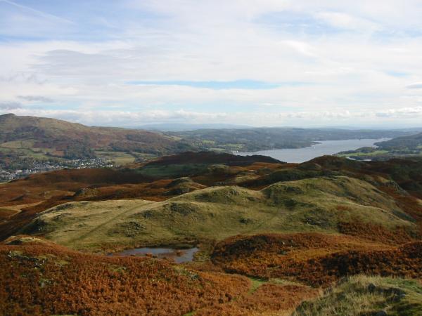
Wansfell Pike, far left, with Ambleside below and Windermere
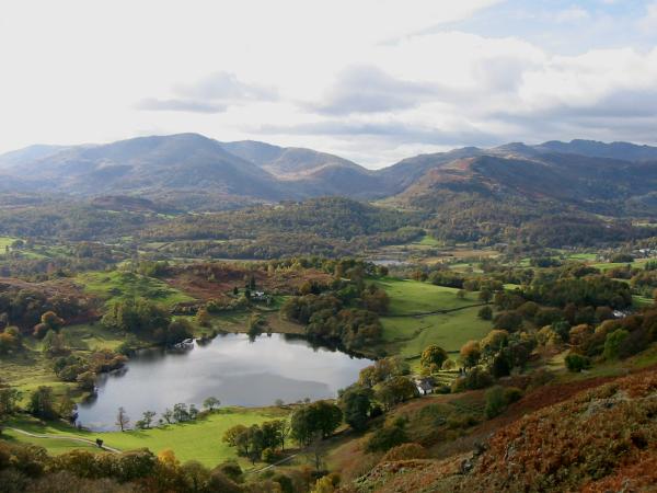
Loughrigg Tarn with Wetherlam behind
Lingmoor Fell with Pike O' Blisco, Crinkle Crags, Bowfell and the Langdale Pikes on the skyline
The fells of the Fairfield horseshoe
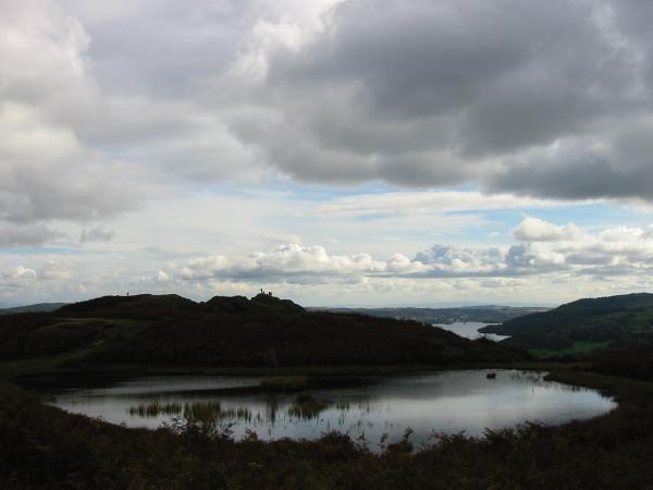
Lily Tarn and Windermere
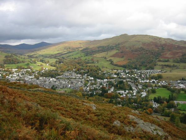
Looking down on Ambleside from Todd Crag
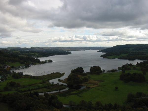
Looking down on Windermere from Todd Crag
Helm Crag from the descent to Loughrigg Cave
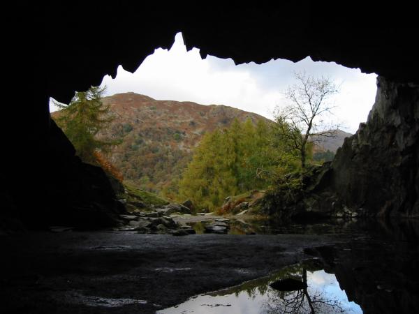
Looking out of Loughrigg Cave
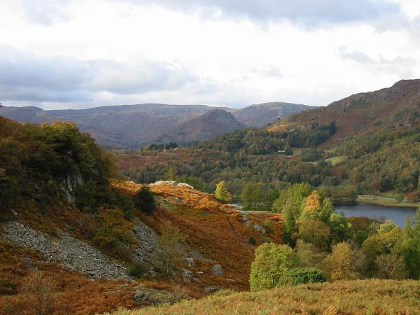
Rydal Water and Low Pike
Previous Walk: Little Langdale and Lingmoor Fell (Thu 16 Oct 2003)
Next Walk: Ard Crags and Knott Rigg (Sun 26 Oct 2003)