Langdale Pikes
Wed 17 Sep 2003
Route: Stickle Barn, Great Langdale - Loft Crag - Pike O'Stickle - Harrison Stickle - Pavey Ark - Thunacar Knott - High Raise - Sergeant Man - Stickle Tarn - Stickle Barn
Distance: 6.67 miles
Ascent: 3,035ft
Time: 4 hours 20 minutes
With: On Own
Notes:
Sunshine, blue sky with high cloud, hazy, very windy on the tops
© Crown copyright. All rights reserved. Licence number AL100038401
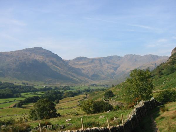
Pike O' Blisco, Great Knott and Crinkle Crags from near the bottom of the Mark Gate route up Loft Crag
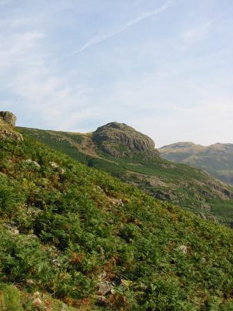
Pike Howe
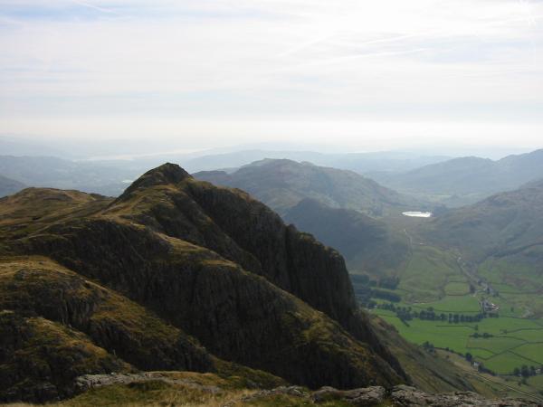
Harrison Stickle
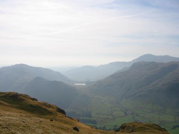
Lingmoor Fell, Side Pike, Blea Tarn and Blake Rigg with Wetherlam behind
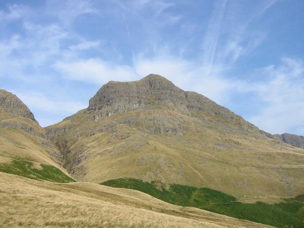
Harrison Stickle from Loft Crag
Pike O' Stickle from Loft Crag

360 Panorama from Loft Crag's summit
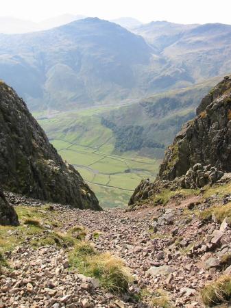
Pike O' Blisco from the top of South Scree, Pike O' Stickle
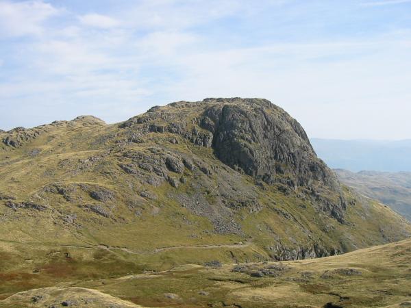
Loft Crag and Gimmer Crag from Pike O' Stickle

360 Panorama from Pike O' Stickle's summit
Loft Crag from the ascent of Harrison Stickle
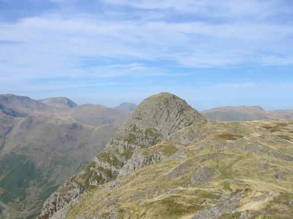
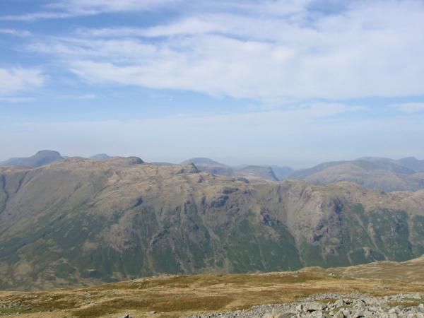
Pike O' Stickle with Bowfell, Scafell Pike, Esk Pike, Great End, Allen Crags, Great Gable and Green Gable beyond from the ascent of Harrison Stickle
Pavey Ark and Stickle Tarn from Harrison Stickle with the Helvellyn ridge, Saint Sunday Crag and Fairfield in the distance

360 Panorama from Harrison Stickle's summit
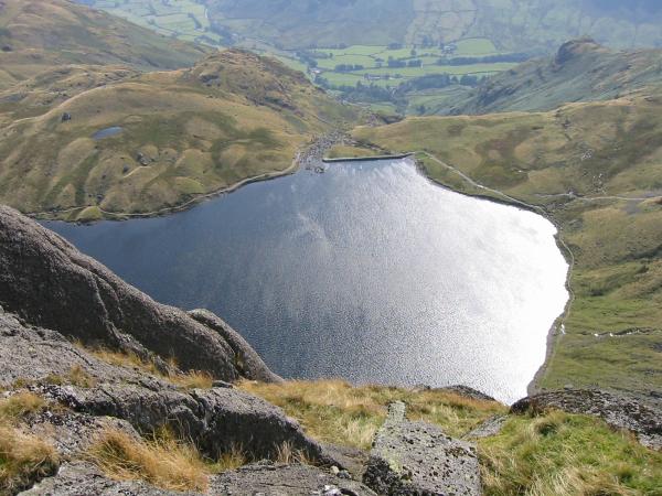
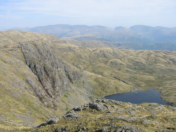
Looking down on Stickle Tarn from Pavey Ark
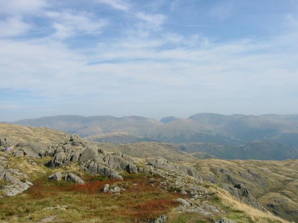
The Helvellyn ridge, Saint Sunday Crag and Fairfield from Pavey Ark

360 Panorama from Pavey Ark's summit
Thunacar Knott from Pavey Ark

360 Panorama from Thunacar Knott's summit
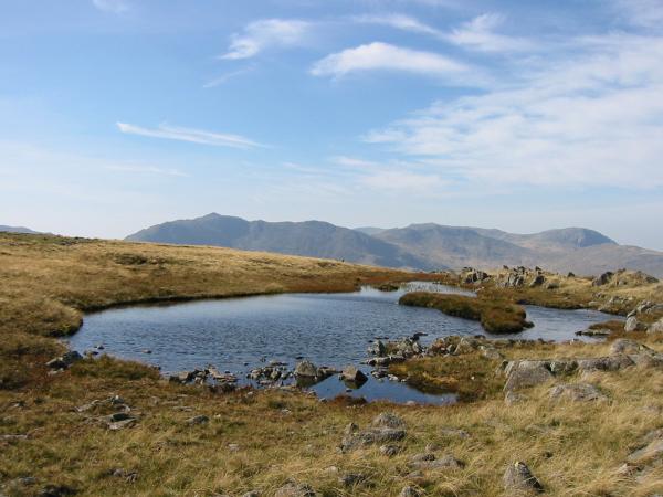
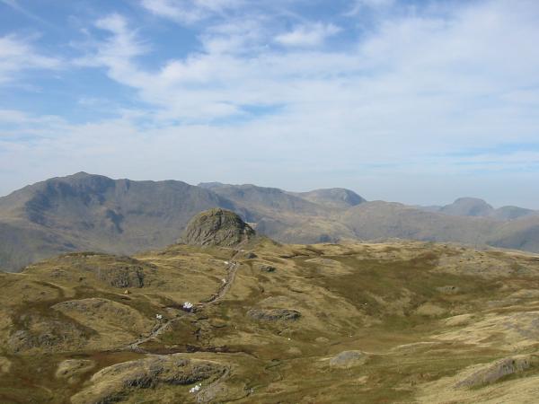
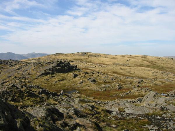
Bowfell, Esk Pike and Great End from the tarn on Thunacar Knott
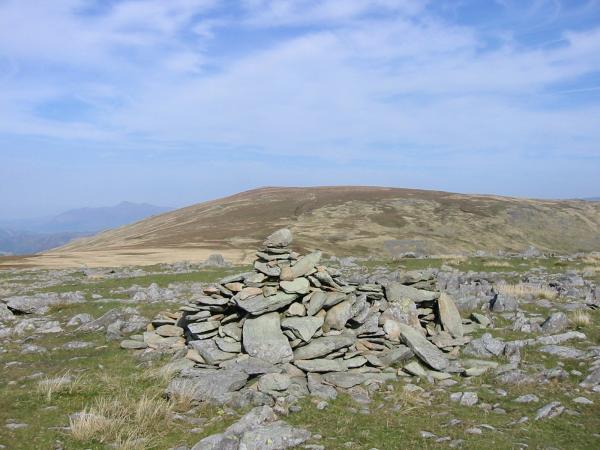
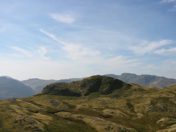
High Raise with Skiddaw in the distance from Wainwright's 'recognised summit' of Thunacar Knott
Glaramara and Combe Head
The north western fells from High Raise's summit
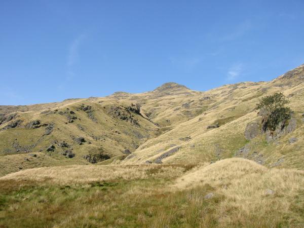
Looking back to Sergeant Man from the descent to Stickle Tarn
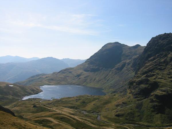
Stickle Tarn, Harrison Stickle and Pavey Ark
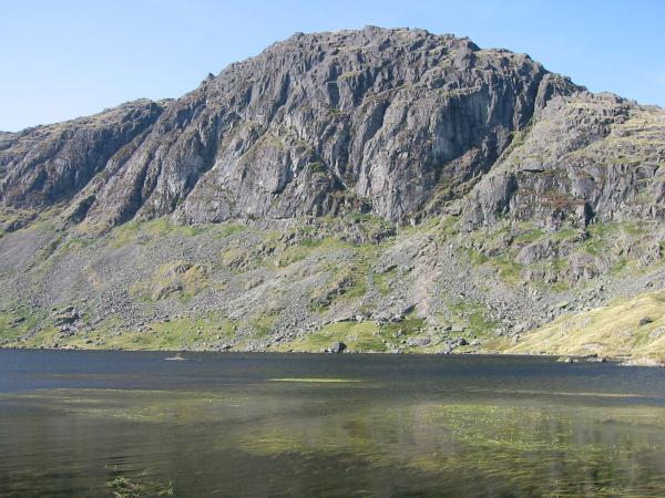
Pavey Ark seen across Stickle Tarn
Previous Walk: Loughrigg Fell (Tue 16 Sep 2003)
Next Walk: Dodd (Sat 20 Sep 2003)