The Fusedale Skyline
Sat 13 Sep 2003
Route: Howtown - White Knott - Arthur's Pike - Bonscale Pike - Loadpot Hill - Wether Hill - Steel Knotts - Howtown
Distance: 10.00 miles
Ascent: 2,400ft
Time: 4 hours 40 minutes
With: Anne
Notes:
Blue sky and sunshine but a fierce wind on the tops

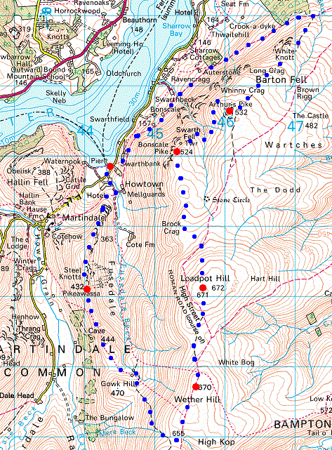
© Crown copyright. All rights reserved. Licence number AL100038401
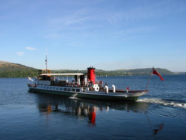
Raven, one of the Ullswater Steamers leaving Howtown Pier
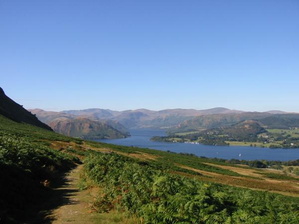
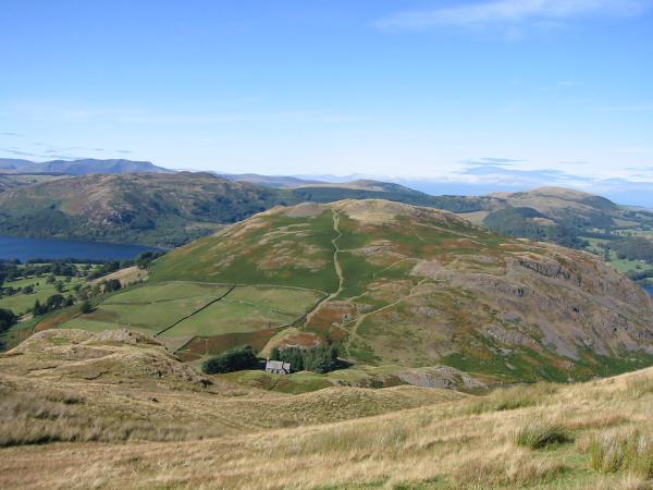
Looking back down the Howtown path to Hallin Fell and Ullswater's middle reach
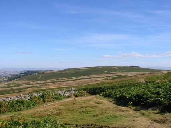
North to Heughscar Hill
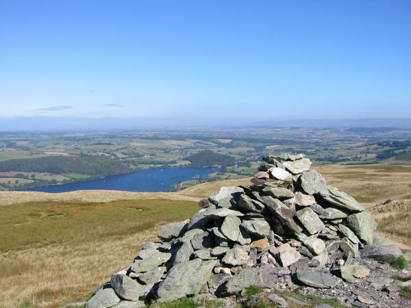
The wooded hill of Dunmallard near Pooley Bridge at the north end of Ullswater from Arthur's Pike's summit cairn

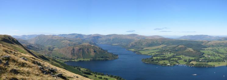
360 Panorama from Arthur's Pike's summit
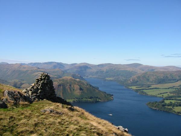
Ullswater from the beacon, 250m northwest of Arthur's Pike summit

North down Ullswater from the beacon, 250m northwest of Arthur's Pike summit
Ullswater from the beacon, 250m northwest of Arthur's Pike summit
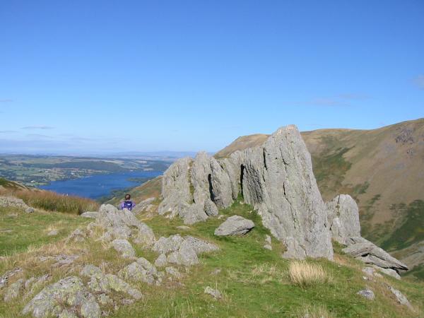
The pillars on the side of Bonscale Pike. The lower one is Bonscale Tower

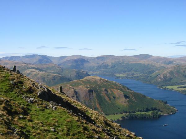
Place Fell and Hallin Fell with Fairfield, Saint Sunday Crag and the Helvellyn ridge behind

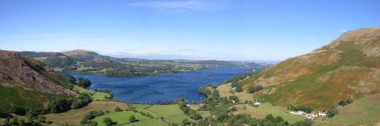
360 Panorama from Bonscale Pike's summit
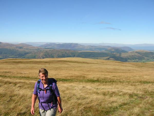
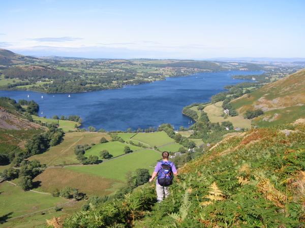
Anne Leaney heading for Loadpot Hill across the grass from Bonscale Pike
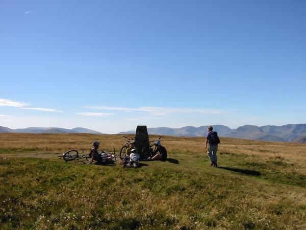
Loadpot Hill summit

360 Panorama from Loadpot Hill's summit
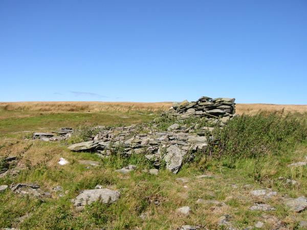
All that now remains of Lowther House, a former shooting lodge
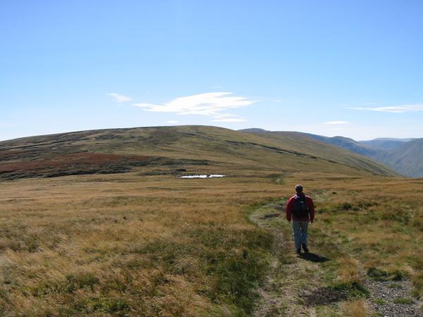
Heading for Wether Hill

Wether Hill summit

360 Panorama from Wether Hill's summit
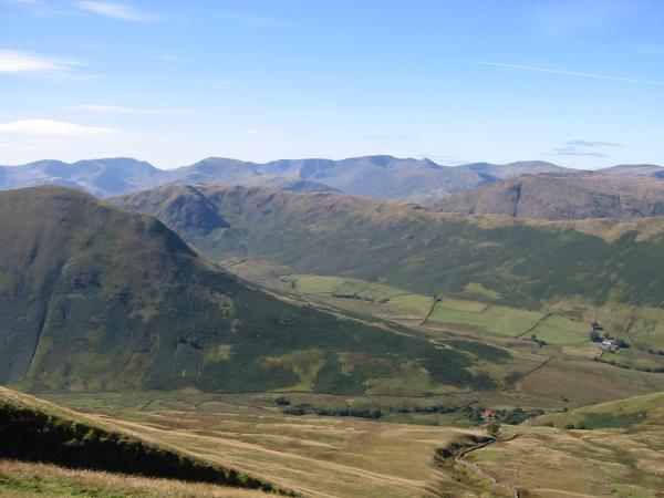
The Nab and The Bungalow
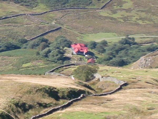
Zooming in on The Bungalow
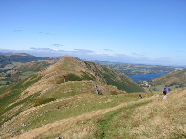
The ridge to Steel Knotts

The Nab and Martindale
Pikeawassa, Steel Knott's summit

360 Panorama from Steel Knotts' summit
Hallin Fell and St. Peter's church, Martindale with Blencathra in the distance (left skyline)
Descending the ridge back to Howtown
Ullswater and Howtown from the ridge
Previous Walk: Yewbarrow (Fri 12 Sep 2003)
Next Walk: Loughrigg Fell (Tue 16 Sep 2003)